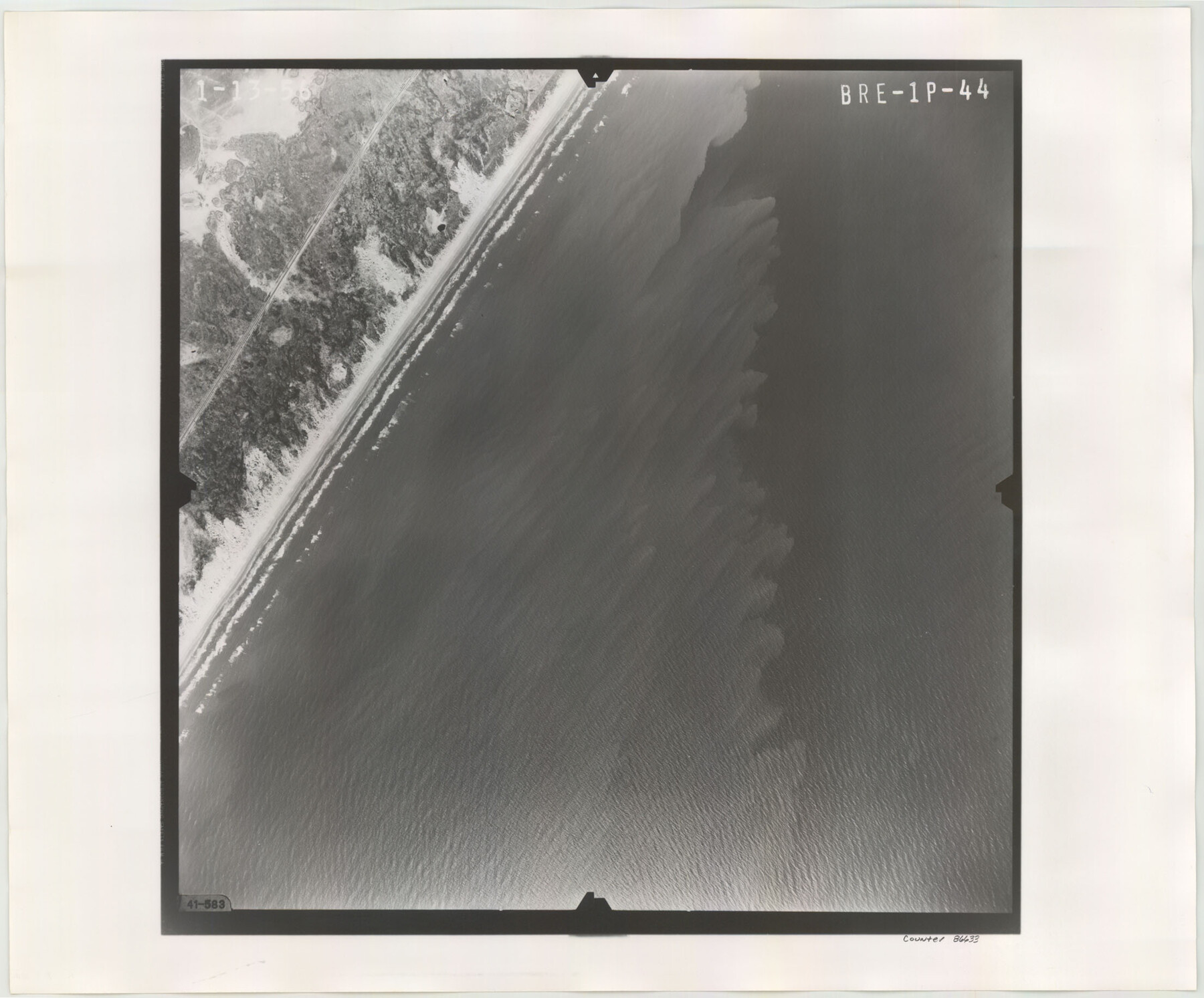
Flight Mission No. BRE-1P, Frame 44, Nueces County
BRE-1P-44
-
Map/Doc
86633
-
Collection
General Map Collection
-
Object Dates
1956/1/13 (Creation Date)
-
People and Organizations
U. S. Department of Agriculture (Publisher)
-
Counties
Nueces
-
Subjects
Aerial Photograph
-
Height x Width
18.3 x 22.1 inches
46.5 x 56.1 cm
-
Comments
Flown by V. L. Beavers and Associates of San Antonio, Texas.
Part of: General Map Collection
Current Miscellaneous File 69

Print $10.00
- Digital $50.00
Current Miscellaneous File 69
1916
Size 11.2 x 8.8 inches
Map/Doc 74145
Webb County Sketch File D

Print $6.00
- Digital $50.00
Webb County Sketch File D
1876
Size 14.4 x 9.0 inches
Map/Doc 39678
Galveston County Sketch File 72

Print $28.00
- Digital $50.00
Galveston County Sketch File 72
1995
Size 14.2 x 8.9 inches
Map/Doc 23970
Lampasas County Working Sketch 5

Print $20.00
- Digital $50.00
Lampasas County Working Sketch 5
1947
Size 25.6 x 31.8 inches
Map/Doc 70282

America's Fun-Tier: Texas 1966 Official State Highway Map

Digital $50.00
America's Fun-Tier: Texas 1966 Official State Highway Map
Size 28.2 x 36.5 inches
Map/Doc 94324
Brewster County Working Sketch 47

Print $20.00
- Digital $50.00
Brewster County Working Sketch 47
1949
Size 42.9 x 35.4 inches
Map/Doc 67581

Controlled Mosaic by Jack Amman Photogrammetric Engineers, Inc - Sheet 51

Print $20.00
- Digital $50.00
Controlled Mosaic by Jack Amman Photogrammetric Engineers, Inc - Sheet 51
1954
Size 20.0 x 24.0 inches
Map/Doc 83510
Nueces County Sketch File 19

Print $4.00
- Digital $50.00
Nueces County Sketch File 19
1875
Size 10.5 x 8.4 inches
Map/Doc 32551
Coast Chart No. 210 Aransas Pass and Corpus Christi Bay with the coast to latitude 27° 12' Texas

Print $20.00
- Digital $50.00
Coast Chart No. 210 Aransas Pass and Corpus Christi Bay with the coast to latitude 27° 12' Texas
1887
Size 27.9 x 18.2 inches
Map/Doc 72791
Bastrop County Working Sketch 6

Print $20.00
- Digital $50.00
Bastrop County Working Sketch 6
1923
Size 37.5 x 31.2 inches
Map/Doc 67306
You may also like
Haskell County Sketch File A

Print $4.00
- Digital $50.00
Haskell County Sketch File A
Size 7.8 x 11.9 inches
Map/Doc 26117
Webb County Working Sketch 39

Print $20.00
- Digital $50.00
Webb County Working Sketch 39
1941
Size 22.9 x 17.2 inches
Map/Doc 72404
Brewster County Working Sketch 80

Print $20.00
- Digital $50.00
Brewster County Working Sketch 80
1972
Size 44.3 x 39.1 inches
Map/Doc 67680
Map of the CB Live Stock Co. -N- Ranch situated in Crosby County, Texas

Print $20.00
- Digital $50.00
Map of the CB Live Stock Co. -N- Ranch situated in Crosby County, Texas
1907
Size 41.4 x 38.0 inches
Map/Doc 89919
Edwards County Working Sketch 52

Print $20.00
- Digital $50.00
Edwards County Working Sketch 52
1950
Size 46.8 x 34.1 inches
Map/Doc 68928
Shaw Farm, State Prison Farm, Bowie County

Print $20.00
- Digital $50.00
Shaw Farm, State Prison Farm, Bowie County
Size 16.1 x 17.9 inches
Map/Doc 73559
Jack County Working Sketch 4

Print $20.00
- Digital $50.00
Jack County Working Sketch 4
1951
Size 24.0 x 32.2 inches
Map/Doc 66430
William P. White Subdivision of 2.45 Acres out of North Half of Survey 1, Block 36, Township 5 North, Dawson County, Texas

Print $20.00
- Digital $50.00
William P. White Subdivision of 2.45 Acres out of North Half of Survey 1, Block 36, Township 5 North, Dawson County, Texas
1924
Size 18.6 x 24.7 inches
Map/Doc 92575
Map of Archer County, Young Land District, formerly Fannin Land District

Print $20.00
- Digital $50.00
Map of Archer County, Young Land District, formerly Fannin Land District
1859
Size 25.2 x 21.6 inches
Map/Doc 3237
Glasscock County Sketch File 28

Print $40.00
Glasscock County Sketch File 28
1877
Size 15.7 x 15.9 inches
Map/Doc 38163
Central Part of Jeff Davis Co.

Print $40.00
- Digital $50.00
Central Part of Jeff Davis Co.
1982
Size 54.2 x 41.6 inches
Map/Doc 77326
Liberty County Sketch File 8

Print $2.00
- Digital $50.00
Liberty County Sketch File 8
Size 8.3 x 10.1 inches
Map/Doc 29899