[Jose Pineda grant]
Atlas G, Page 7, Sketch 5 (G-7-5)
G-7-5
-
Map/Doc
123
-
Collection
General Map Collection
-
Object Dates
1846 (Creation Date)
-
People and Organizations
W. Dickerson (Surveyor/Engineer)
-
Counties
Anderson
-
Subjects
Atlas
-
Height x Width
13.6 x 7.7 inches
34.5 x 19.6 cm
-
Medium
paper, manuscript
-
Comments
Conserved in 2004.
-
Features
Neches River
Part of: General Map Collection
Comal County Rolled Sketch 3


Print $20.00
- Digital $50.00
Comal County Rolled Sketch 3
1977
Size 19.0 x 17.3 inches
Map/Doc 5538
Cherokee County Sketch File 12b


Print $6.00
- Digital $50.00
Cherokee County Sketch File 12b
1850
Size 7.9 x 7.7 inches
Map/Doc 18142
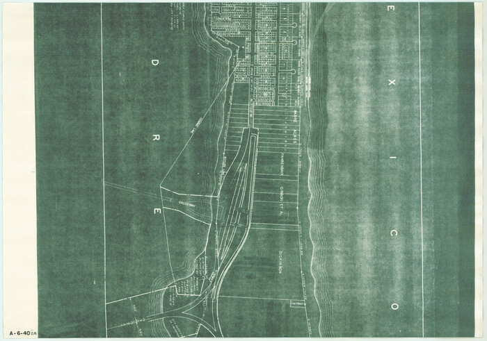
Map of Padre Island Showing Location of Zoning Districts

Print $20.00
- Digital $50.00
Map of Padre Island Showing Location of Zoning Districts
1971
Size 18.5 x 26.4 inches
Map/Doc 4812
Oldham County Rolled Sketch T
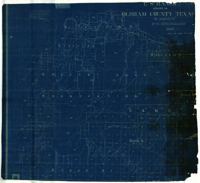

Print $20.00
- Digital $50.00
Oldham County Rolled Sketch T
1903
Size 42.3 x 46.2 inches
Map/Doc 9642
Index for Texas Railroad ROW & track maps available on microfilm at THD & Archives and Records
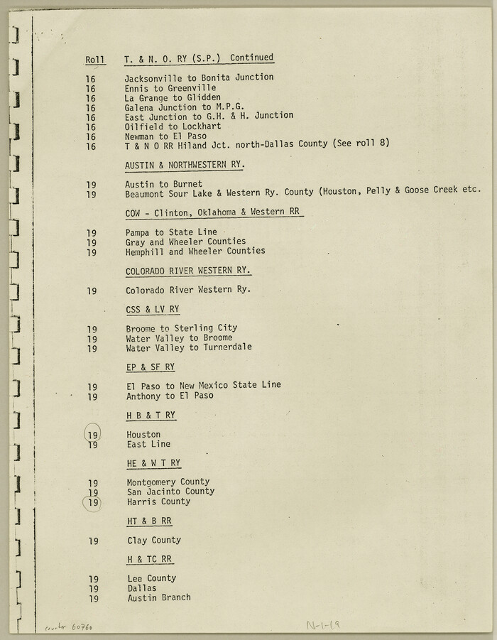

Print $2.00
- Digital $50.00
Index for Texas Railroad ROW & track maps available on microfilm at THD & Archives and Records
1977
Size 11.3 x 8.8 inches
Map/Doc 60760
Township 14 South Range 15 West of the Louisiana Meridian, Louisiana
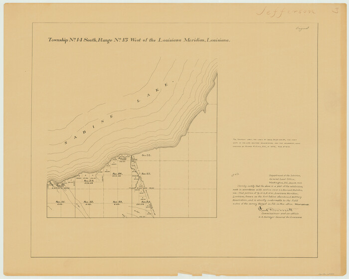

Print $20.00
- Digital $50.00
Township 14 South Range 15 West of the Louisiana Meridian, Louisiana
1875
Size 19.6 x 24.6 inches
Map/Doc 65859
Flight Mission No. BRA-3M, Frame 196, Jefferson County
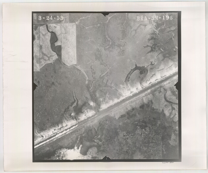

Print $20.00
- Digital $50.00
Flight Mission No. BRA-3M, Frame 196, Jefferson County
1953
Size 18.6 x 22.4 inches
Map/Doc 85411
Rusk County Sketch File 17


Print $22.00
Rusk County Sketch File 17
1857
Size 12.7 x 15.7 inches
Map/Doc 35520
Sabine Bank to East Bay including Heald Bank


Print $20.00
- Digital $50.00
Sabine Bank to East Bay including Heald Bank
1976
Size 45.0 x 34.5 inches
Map/Doc 69851
You may also like
Titus County Working Sketch Graphic Index
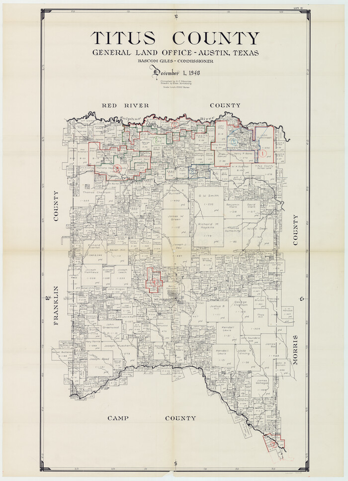

Print $20.00
- Digital $50.00
Titus County Working Sketch Graphic Index
1948
Size 40.2 x 29.0 inches
Map/Doc 76714
Mineral Plats - El Paso to Ward Co. and River Beds


Mineral Plats - El Paso to Ward Co. and River Beds
Map/Doc 81746
Tech Town a Subdivision of the Northeast Quarter Section 18, Block B


Print $20.00
- Digital $50.00
Tech Town a Subdivision of the Northeast Quarter Section 18, Block B
Size 17.5 x 21.6 inches
Map/Doc 92792
S.P.O. Co. No. 7, State Submerged Tract No. 12, Laguna Madre, Nueces Co., Texas
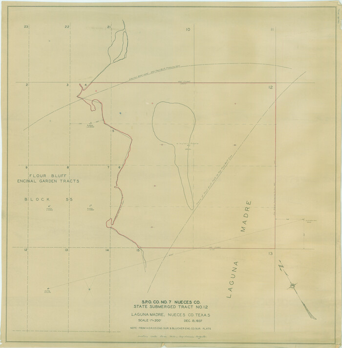

Print $20.00
- Digital $50.00
S.P.O. Co. No. 7, State Submerged Tract No. 12, Laguna Madre, Nueces Co., Texas
1937
Size 27.9 x 27.4 inches
Map/Doc 3026
General Highway Map, Duval County, Texas
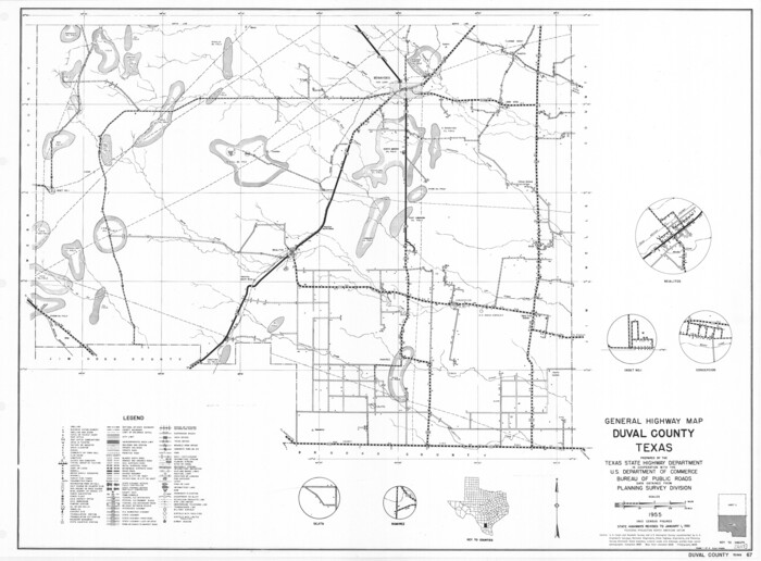

Print $20.00
General Highway Map, Duval County, Texas
1961
Size 18.1 x 24.6 inches
Map/Doc 79448
General Highway Map, El Paso County, Texas
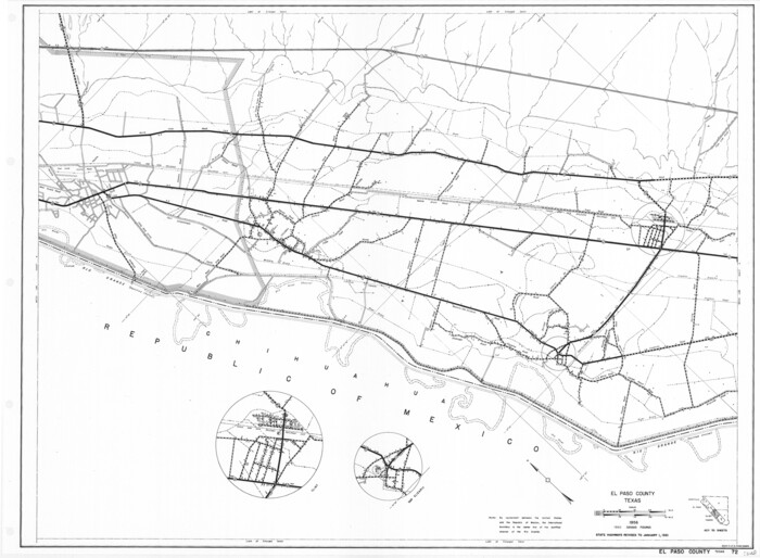

Print $20.00
General Highway Map, El Paso County, Texas
1961
Size 18.2 x 24.8 inches
Map/Doc 79458
Hays County Working Sketch 16


Print $20.00
- Digital $50.00
Hays County Working Sketch 16
1970
Size 34.3 x 38.0 inches
Map/Doc 66090
El Paso County Boundary File 6
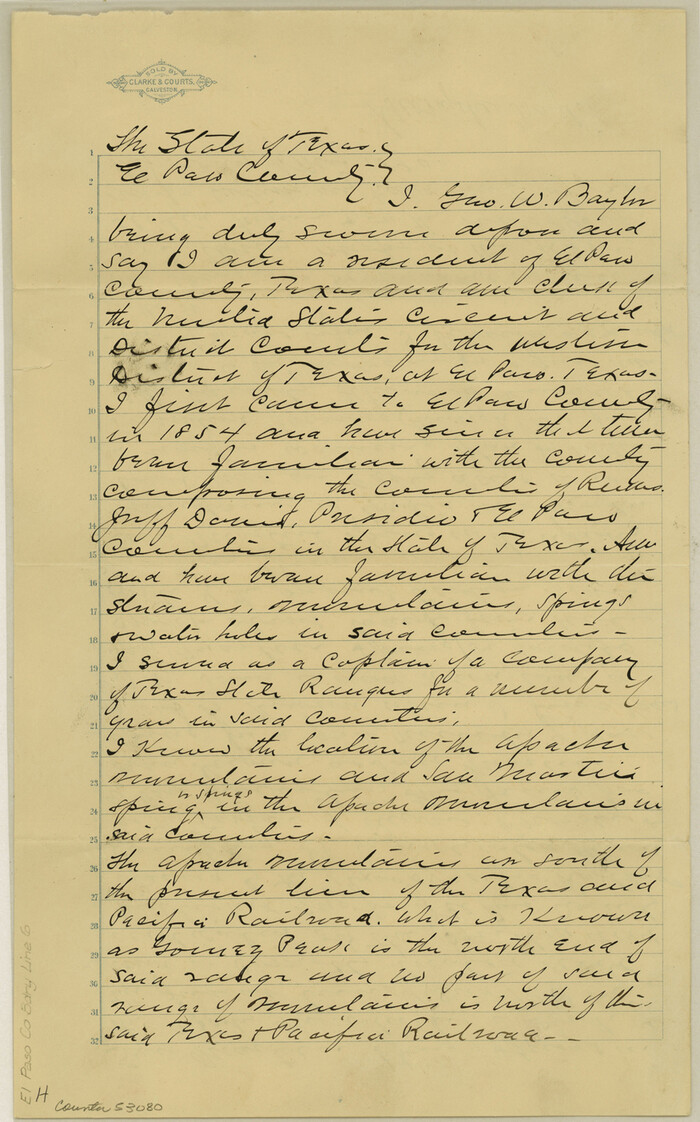

Print $14.00
- Digital $50.00
El Paso County Boundary File 6
Size 14.0 x 8.8 inches
Map/Doc 53080
Flight Mission No. CRE-1R, Frame 63, Jackson County
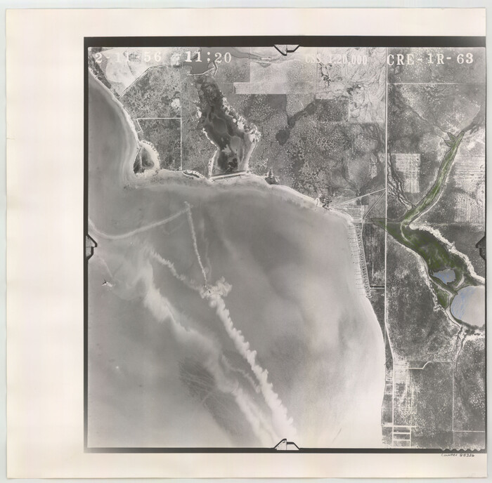

Print $20.00
- Digital $50.00
Flight Mission No. CRE-1R, Frame 63, Jackson County
1956
Size 18.6 x 18.9 inches
Map/Doc 85326
Jack County Working Sketch 7


Print $20.00
- Digital $50.00
Jack County Working Sketch 7
1953
Size 37.2 x 31.9 inches
Map/Doc 66433
Flight Mission No. DIX-3P, Frame 136, Aransas County
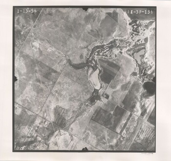

Print $20.00
- Digital $50.00
Flight Mission No. DIX-3P, Frame 136, Aransas County
1956
Size 17.9 x 19.0 inches
Map/Doc 83766
![123, [Jose Pineda grant], General Map Collection](https://historictexasmaps.com/wmedia_w1800h1800/maps/123.tif.jpg)
