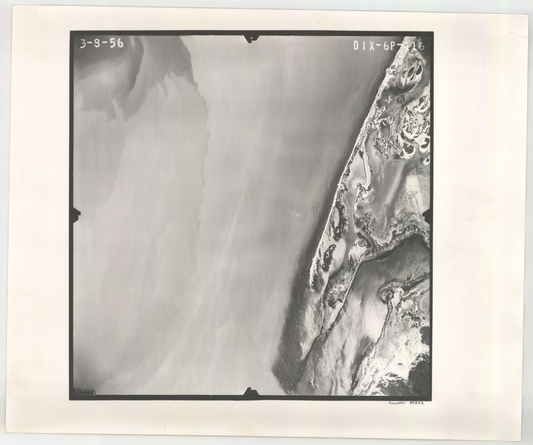
Flight Mission No. DIX-6P, Frame 116, Aransas County
DIX-6P-116
-
Map/Doc
83822
-
Collection
General Map Collection
-
Object Dates
1956/3/8 (Creation Date)
-
People and Organizations
U. S. Department of Agriculture (Publisher)
-
Counties
Aransas
-
Subjects
Aerial Photograph
-
Height x Width
19.2 x 23.1 inches
48.8 x 58.7 cm
-
Comments
Flown by V. L. Beavers and Associates of San Antonio, Texas.
Part of: General Map Collection
Hale County Sketch File B

Print $20.00
- Digital $50.00
Hale County Sketch File B
1897
Size 17.3 x 23.9 inches
Map/Doc 11599
Jefferson County Working Sketch 28

Print $20.00
- Digital $50.00
Jefferson County Working Sketch 28
1977
Size 46.2 x 42.9 inches
Map/Doc 66571
Crane County Working Sketch 2

Print $20.00
- Digital $50.00
Crane County Working Sketch 2
1924
Size 31.6 x 34.5 inches
Map/Doc 68279
Flight Mission No. CGI-3N, Frame 110, Cameron County

Print $20.00
- Digital $50.00
Flight Mission No. CGI-3N, Frame 110, Cameron County
1954
Size 18.5 x 22.1 inches
Map/Doc 84590
Galveston County NRC Article 33.136 Sketch 44

Print $22.00
- Digital $50.00
Galveston County NRC Article 33.136 Sketch 44
2007
Size 36.6 x 24.6 inches
Map/Doc 88352
Pecos County Rolled Sketch 65

Print $20.00
- Digital $50.00
Pecos County Rolled Sketch 65
1928
Size 37.9 x 33.8 inches
Map/Doc 9699
Northeast Part Pecos County

Print $20.00
- Digital $50.00
Northeast Part Pecos County
1975
Size 36.9 x 43.4 inches
Map/Doc 95611
Rains County Boundary File 71

Print $6.00
- Digital $50.00
Rains County Boundary File 71
Size 8.7 x 3.5 inches
Map/Doc 58094
Pecos County Rolled Sketch 190

Print $20.00
- Digital $50.00
Pecos County Rolled Sketch 190
2005
Size 20.3 x 26.1 inches
Map/Doc 83284
Garza County Sketch File 4

Print $6.00
- Digital $50.00
Garza County Sketch File 4
1883
Size 12.6 x 11.0 inches
Map/Doc 24046
Crockett County Working Sketch 57

Print $20.00
- Digital $50.00
Crockett County Working Sketch 57
1954
Size 35.9 x 38.8 inches
Map/Doc 68390
[Aerial Photograph of Galveston Island and the Gulf of Mexico]
![83434, [Aerial Photograph of Galveston Island and the Gulf of Mexico], General Map Collection](https://historictexasmaps.com/wmedia_w700/maps/83434.tif.jpg)
Print $20.00
- Digital $50.00
[Aerial Photograph of Galveston Island and the Gulf of Mexico]
1956
Size 15.5 x 12.7 inches
Map/Doc 83434
You may also like
Flight Mission No. DQN-2K, Frame 6, Calhoun County

Print $20.00
- Digital $50.00
Flight Mission No. DQN-2K, Frame 6, Calhoun County
1953
Size 18.4 x 22.2 inches
Map/Doc 84223

Flight Mission No. BRA-7M, Frame 38, Jefferson County

Print $20.00
- Digital $50.00
Flight Mission No. BRA-7M, Frame 38, Jefferson County
1953
Size 18.6 x 22.4 inches
Map/Doc 85489
Kinney County Working Sketch 14

Print $20.00
- Digital $50.00
Kinney County Working Sketch 14
1946
Size 20.8 x 28.5 inches
Map/Doc 70196
Dallas County Sketch File 6

Print $20.00
- Digital $50.00
Dallas County Sketch File 6
1850
Size 19.9 x 25.1 inches
Map/Doc 11283
Deaf Smith County Sketch File C

Print $28.00
- Digital $50.00
Deaf Smith County Sketch File C
1902
Size 11.5 x 8.9 inches
Map/Doc 20639
Matagorda County NRC Article 33.136 Sketch 22

Print $24.00
Matagorda County NRC Article 33.136 Sketch 22
2025
Map/Doc 97486
Map of Gregg County

Print $20.00
- Digital $50.00
Map of Gregg County
1874
Size 14.0 x 13.9 inches
Map/Doc 3604
Sketch A Shewing the progress of the Survey in Section No. 1 From 1844 to 1851

Print $20.00
- Digital $50.00
Sketch A Shewing the progress of the Survey in Section No. 1 From 1844 to 1851
1851
Size 37.1 x 24.5 inches
Map/Doc 97202
Milam County Sketch File 7

Print $6.00
- Digital $50.00
Milam County Sketch File 7
1838
Size 13.0 x 8.0 inches
Map/Doc 31636
Map No. 1 - Rio Bravo del Norte section of boundary between the United States & Mexico agreed upon by the Joint Commission under the Treaty of Guadalupe Hidalgo

Print $20.00
- Digital $50.00
Map No. 1 - Rio Bravo del Norte section of boundary between the United States & Mexico agreed upon by the Joint Commission under the Treaty of Guadalupe Hidalgo
1852
Size 18.3 x 27.0 inches
Map/Doc 72863
Harris County Working Sketch 20

Print $20.00
- Digital $50.00
Harris County Working Sketch 20
1923
Size 11.7 x 12.4 inches
Map/Doc 65912