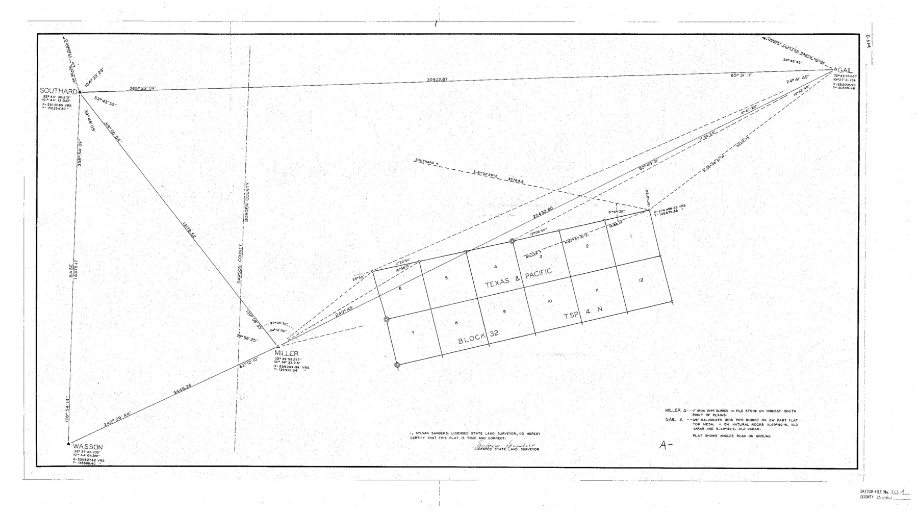
Borden County Sketch File 10a
[Sketch of part of Texas & Pacific Block 32, Township 4 North]
-
Map/Doc
10935
-
Collection
General Map Collection
-
Object Dates
1944/2/7 (File Date)
-
People and Organizations
Sylvan Sanders (Surveyor/Engineer)
-
Counties
Borden Dawson
-
Subjects
Surveying Sketch File
-
Height x Width
21.0 x 37.5 inches
53.3 x 95.3 cm
-
Medium
blueprint/diazo
-
Features
Gail
Chimney Clayton Ranch House
Southard
Miller
Wasson
Part of: General Map Collection
San Luis Pass to East Matagorda Bay

Print $20.00
- Digital $50.00
San Luis Pass to East Matagorda Bay
1964
Size 34.7 x 46.6 inches
Map/Doc 69964
Upton County Sketch File 32

Print $20.00
- Digital $50.00
Upton County Sketch File 32
1938
Size 14.9 x 24.0 inches
Map/Doc 12523
Sketch of coast of Texas, Laguna Madre from Pt. of Rocks to Corpus Christi [and accompanying letter]
![72962, Sketch of coast of Texas, Laguna Madre from Pt. of Rocks to Corpus Christi [and accompanying letter], General Map Collection](https://historictexasmaps.com/wmedia_w700/maps/72962.tif.jpg)
Print $20.00
- Digital $50.00
Sketch of coast of Texas, Laguna Madre from Pt. of Rocks to Corpus Christi [and accompanying letter]
1881
Size 26.5 x 18.3 inches
Map/Doc 72962
Calhoun County Rolled Sketch 12

Print $40.00
- Digital $50.00
Calhoun County Rolled Sketch 12
1940
Size 37.9 x 54.6 inches
Map/Doc 66845
Palo Pinto County Rolled Sketch 5

Print $40.00
- Digital $50.00
Palo Pinto County Rolled Sketch 5
Size 54.4 x 36.0 inches
Map/Doc 76021
Roberts County Rolled Sketch 3

Print $40.00
- Digital $50.00
Roberts County Rolled Sketch 3
Size 37.7 x 48.9 inches
Map/Doc 8359
Lampasas County Working Sketch 4

Print $20.00
- Digital $50.00
Lampasas County Working Sketch 4
1941
Size 23.1 x 16.8 inches
Map/Doc 70281
Freestone County Sketch File 5

Print $42.00
- Digital $50.00
Freestone County Sketch File 5
1854
Size 4.6 x 5.2 inches
Map/Doc 23047
Young County Boundary File 98a

Print $32.00
- Digital $50.00
Young County Boundary File 98a
Size 10.2 x 8.0 inches
Map/Doc 60211
Fisher County Sketch File 23

Print $12.00
- Digital $50.00
Fisher County Sketch File 23
1875
Size 10.8 x 8.2 inches
Map/Doc 22660
Bandera County

Print $40.00
- Digital $50.00
Bandera County
1904
Size 30.7 x 61.0 inches
Map/Doc 3274
Armstrong County Sketch File A-4

Print $40.00
- Digital $50.00
Armstrong County Sketch File A-4
Size 14.8 x 20.5 inches
Map/Doc 10845
You may also like
Texas and the Great War

Print $20.00
- Digital $50.00
Texas and the Great War
2017
Size 24.3 x 18.3 inches
Map/Doc 94412
Trinity River, Levee Improvement Districts, Widths of Floodways

Print $20.00
- Digital $50.00
Trinity River, Levee Improvement Districts, Widths of Floodways
1923
Size 37.6 x 28.2 inches
Map/Doc 65253
Atascosa County Working Sketch 32

Print $20.00
- Digital $50.00
Atascosa County Working Sketch 32
1981
Size 12.9 x 11.8 inches
Map/Doc 67228
Wharton County

Print $40.00
- Digital $50.00
Wharton County
1946
Size 43.4 x 49.0 inches
Map/Doc 63119
Van Zandt County Sketch File 29b

Print $4.00
- Digital $50.00
Van Zandt County Sketch File 29b
1859
Size 7.0 x 8.4 inches
Map/Doc 39457
General Highway Map, Coryell County, Texas

Print $20.00
General Highway Map, Coryell County, Texas
1961
Size 18.1 x 24.8 inches
Map/Doc 79422
The Republic County of Shelby. January 28, 1839

Print $20.00
The Republic County of Shelby. January 28, 1839
2020
Size 21.1 x 21.7 inches
Map/Doc 96281
Liberty County Working Sketch 8

Print $20.00
- Digital $50.00
Liberty County Working Sketch 8
1906
Size 42.4 x 33.1 inches
Map/Doc 70467
Harrison County Working Sketch 10

Print $20.00
- Digital $50.00
Harrison County Working Sketch 10
1957
Size 25.8 x 24.6 inches
Map/Doc 66030
Map of Galveston County

Print $20.00
- Digital $50.00
Map of Galveston County
1883
Size 18.8 x 26.8 inches
Map/Doc 3573
Webb County Working Sketch 87

Print $20.00
- Digital $50.00
Webb County Working Sketch 87
1981
Size 46.3 x 39.6 inches
Map/Doc 72454
Frio County Rolled Sketch 16

Print $20.00
- Digital $50.00
Frio County Rolled Sketch 16
1952
Size 38.4 x 40.7 inches
Map/Doc 8906