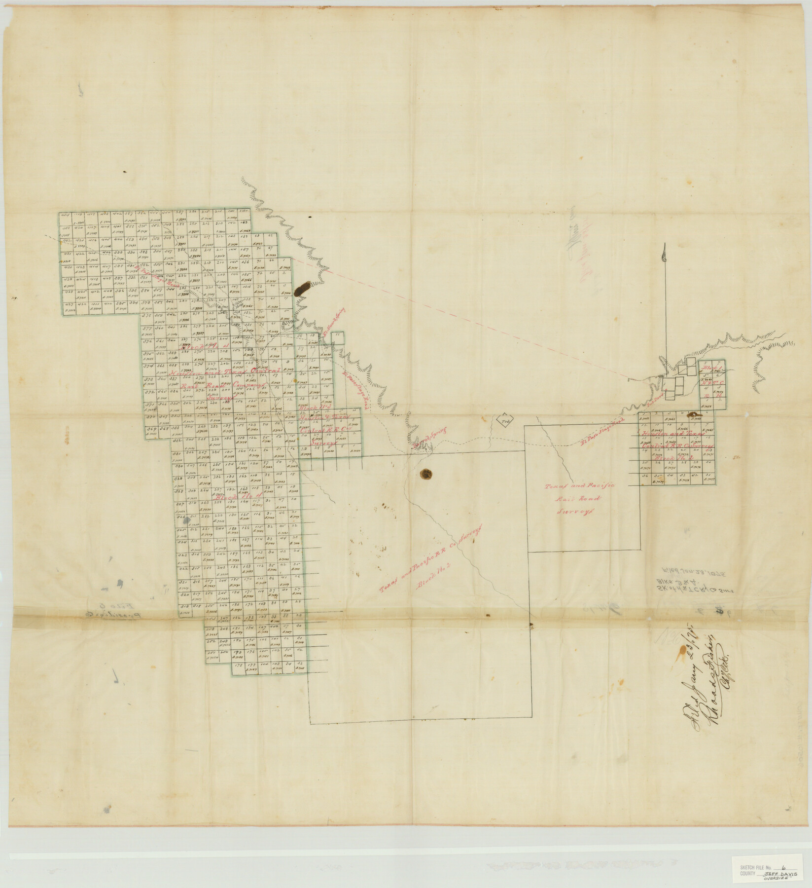
Jeff Davis County Sketch File 6
Sk. of H&TC Ry Co Surs Blks. 3 & 4
-
Map/Doc
10506
-
Collection
General Map Collection
-
Object Dates
1/23/1875 (File Date)
-
Counties
Jeff Davis
-
Subjects
Surveying Sketch File
-
Height x Width
33.0 x 30.2 inches
83.8 x 76.7 cm
-
Medium
paper, manuscript
-
Features
El Paso Stage Road
El Muerto Spring
Fort Davis
Barrel Spring
Part of: General Map Collection
Hays County Working Sketch 19

Print $20.00
- Digital $50.00
Hays County Working Sketch 19
1980
Size 30.1 x 26.0 inches
Map/Doc 66093
Terrell County Sketch File 27

Print $10.00
- Digital $50.00
Terrell County Sketch File 27
1936
Size 8.7 x 11.3 inches
Map/Doc 37971
Coast Chart No. 211 - Padre I. and Laguna Madre, Lat. 27° 12' to Lat. 26° 33', Texas

Print $20.00
- Digital $50.00
Coast Chart No. 211 - Padre I. and Laguna Madre, Lat. 27° 12' to Lat. 26° 33', Texas
1890
Size 40.1 x 33.7 inches
Map/Doc 73500
Duval County Rolled Sketch 45

Print $20.00
- Digital $50.00
Duval County Rolled Sketch 45
1982
Size 36.3 x 24.5 inches
Map/Doc 5760
Map of the City of Austin Texas

Map of the City of Austin Texas
1933
Size 22.5 x 17.6 inches
Map/Doc 76050
Sherman County

Print $20.00
- Digital $50.00
Sherman County
1889
Size 22.3 x 19.0 inches
Map/Doc 4036
Crane County Sketch File 28

Print $6.00
- Digital $50.00
Crane County Sketch File 28
1953
Size 11.5 x 9.1 inches
Map/Doc 19605
Loving County Working Sketch 6

Print $40.00
- Digital $50.00
Loving County Working Sketch 6
1947
Size 31.3 x 51.0 inches
Map/Doc 70638
Hunt County Sketch File 21

Print $4.00
- Digital $50.00
Hunt County Sketch File 21
Size 8.1 x 5.8 inches
Map/Doc 27122
Eastland County

Print $20.00
- Digital $50.00
Eastland County
1945
Size 41.8 x 42.0 inches
Map/Doc 77268
Jalisco Banco Number 67, cut from Mexico in 1909

Print $3.00
- Digital $50.00
Jalisco Banco Number 67, cut from Mexico in 1909
1912
Size 14.2 x 11.2 inches
Map/Doc 2064
Collin County Working Sketch 1

Print $20.00
- Digital $50.00
Collin County Working Sketch 1
1921
Size 26.6 x 23.4 inches
Map/Doc 68095
You may also like
McMullen County Sketch File 14

Print $4.00
- Digital $50.00
McMullen County Sketch File 14
1876
Size 10.0 x 8.1 inches
Map/Doc 31361
Flight Mission No. CUG-3P, Frame 77, Kleberg County

Print $20.00
- Digital $50.00
Flight Mission No. CUG-3P, Frame 77, Kleberg County
1956
Size 18.7 x 22.4 inches
Map/Doc 86252
Kleberg County Rolled Sketch 10-30

Print $20.00
- Digital $50.00
Kleberg County Rolled Sketch 10-30
1952
Size 35.3 x 38.0 inches
Map/Doc 9400
Crockett County Working Sketch 34

Print $40.00
- Digital $50.00
Crockett County Working Sketch 34
1926
Size 24.7 x 59.5 inches
Map/Doc 68367
Grayson County Sketch File 12

Print $4.00
- Digital $50.00
Grayson County Sketch File 12
1853
Size 12.8 x 8.4 inches
Map/Doc 24478
Flight Mission No. CGI-2N, Frame 155, Cameron County

Print $20.00
- Digital $50.00
Flight Mission No. CGI-2N, Frame 155, Cameron County
1954
Size 18.5 x 22.1 inches
Map/Doc 84537
Borden County Working Sketch 3

Print $20.00
- Digital $50.00
Borden County Working Sketch 3
1944
Size 21.3 x 23.5 inches
Map/Doc 67463
Harris County Rolled Sketch WDC

Print $40.00
- Digital $50.00
Harris County Rolled Sketch WDC
1936
Size 42.7 x 68.4 inches
Map/Doc 9126
Chocolate Bay, West Portion of West Bay and Vicinity, Brazoria and Galveston Counties, showing Subdivision for Mineral Development

Print $40.00
- Digital $50.00
Chocolate Bay, West Portion of West Bay and Vicinity, Brazoria and Galveston Counties, showing Subdivision for Mineral Development
1948
Size 40.7 x 53.9 inches
Map/Doc 1907
Hardin County Working Sketch 44

Print $40.00
- Digital $50.00
Hardin County Working Sketch 44
1954
Size 53.1 x 39.5 inches
Map/Doc 69764
Working Sketch Showing Scrap Lands in Hale County

Print $20.00
- Digital $50.00
Working Sketch Showing Scrap Lands in Hale County
1915
Size 22.7 x 11.1 inches
Map/Doc 90742
Zapata County Working Sketch 1

Print $20.00
- Digital $50.00
Zapata County Working Sketch 1
1912
Size 26.2 x 25.7 inches
Map/Doc 62052