[Sketch of surveys in the Bexar District along the Pedernales River]
Atlas G, Page 1, Sketch 8 (G-1-8)
G-1-8
-
Map/Doc
103
-
Collection
General Map Collection
-
Object Dates
1847 (Creation Date)
-
Counties
Gillespie
-
Subjects
Atlas
-
Height x Width
13.6 x 8.3 inches
34.5 x 21.1 cm
-
Medium
paper, manuscript
-
Scale
[1:4000]
-
Comments
Conserved in 2004.
-
Features
Spring Creek
Bear Creek
Perdinales [sic] River
Part of: General Map Collection
Edwards County Working Sketch 77
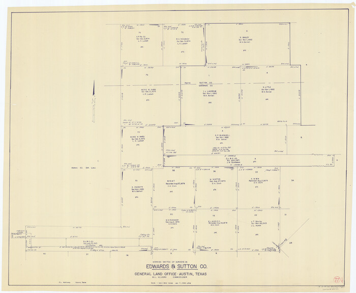

Print $20.00
- Digital $50.00
Edwards County Working Sketch 77
1960
Size 32.8 x 39.9 inches
Map/Doc 68953
Texas-Oklahoma (Indian Territory) Montague Quadrangle
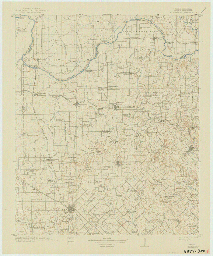

Print $20.00
- Digital $50.00
Texas-Oklahoma (Indian Territory) Montague Quadrangle
1905
Size 20.4 x 17.0 inches
Map/Doc 75106
Ward County Working Sketch 23
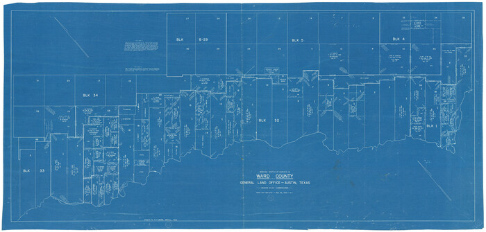

Print $40.00
- Digital $50.00
Ward County Working Sketch 23
1953
Size 29.1 x 59.5 inches
Map/Doc 72329
Aransas County Sketch File 33


Print $34.00
- Digital $50.00
Aransas County Sketch File 33
1919
Size 14.4 x 8.8 inches
Map/Doc 13303
Harbor Pass and Bar at Brazos Santiago, Texas
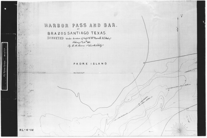

Print $20.00
- Digital $50.00
Harbor Pass and Bar at Brazos Santiago, Texas
1871
Size 18.3 x 27.4 inches
Map/Doc 73036
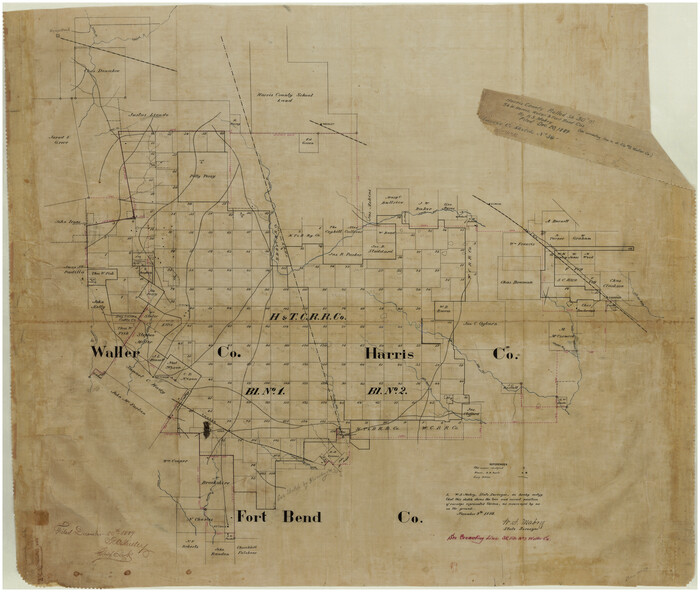
Harris County Rolled Sketch 30

Print $20.00
- Digital $50.00
Harris County Rolled Sketch 30
1889
Size 30.4 x 35.1 inches
Map/Doc 6096
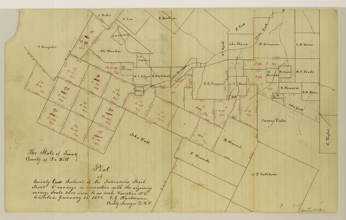
DeWitt County Sketch File 4

Print $4.00
- Digital $50.00
DeWitt County Sketch File 4
1872
Size 8.3 x 13.1 inches
Map/Doc 20801
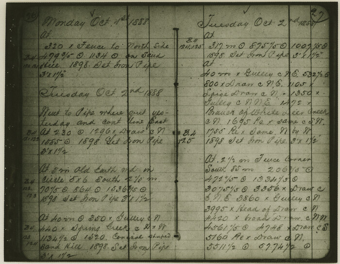
Copy of Surveyor's Field Book, Morris Browning - In Blocks 7, 5 & 4, I&GNRRCo., Hutchinson and Carson Counties, Texas

Print $2.00
- Digital $50.00
Copy of Surveyor's Field Book, Morris Browning - In Blocks 7, 5 & 4, I&GNRRCo., Hutchinson and Carson Counties, Texas
1888
Size 6.8 x 8.8 inches
Map/Doc 62274
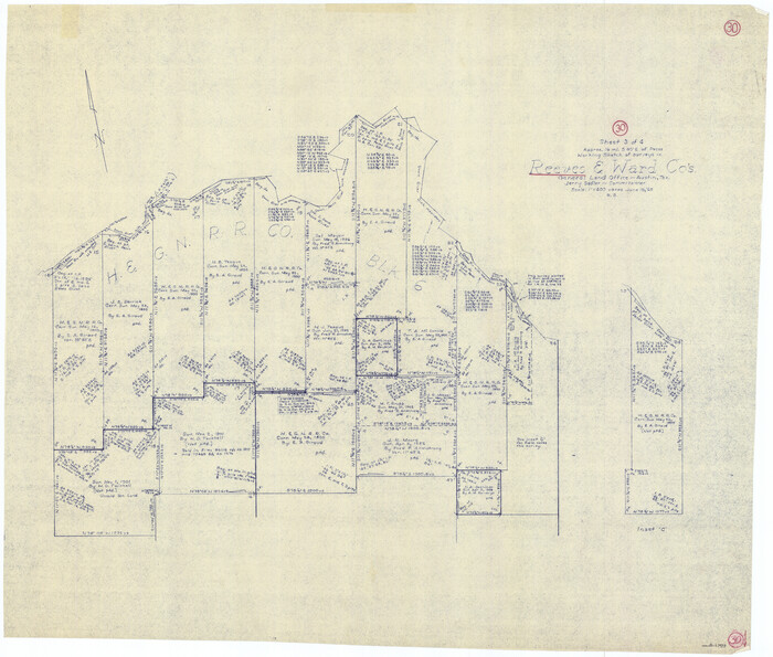
Reeves County Working Sketch 30

Print $20.00
- Digital $50.00
Reeves County Working Sketch 30
1969
Size 31.1 x 36.5 inches
Map/Doc 63473
Clay County Sketch File 34
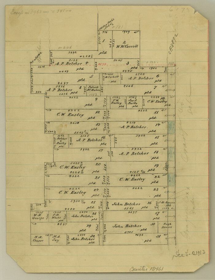

Print $4.00
- Digital $50.00
Clay County Sketch File 34
Size 9.6 x 7.4 inches
Map/Doc 18461
Amistad International Reservoir on Rio Grande 105


Print $20.00
- Digital $50.00
Amistad International Reservoir on Rio Grande 105
1950
Size 28.5 x 40.8 inches
Map/Doc 75536
Montgomery County Rolled Sketch 49
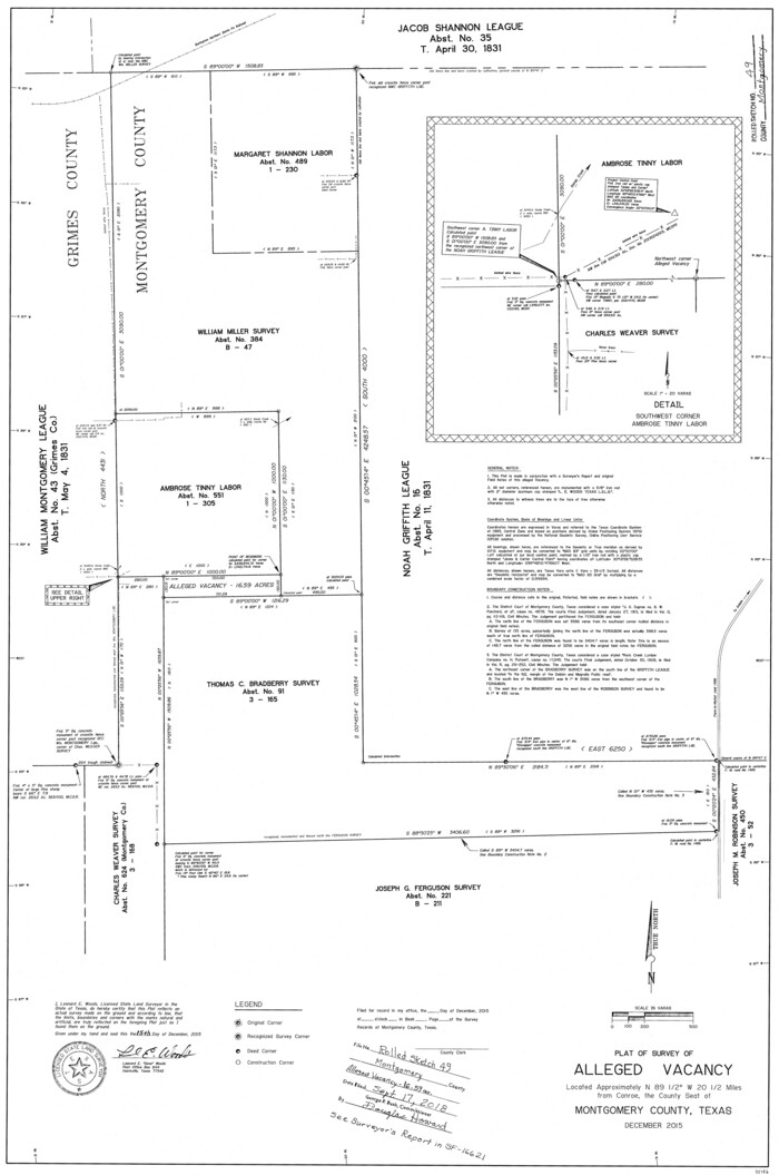

Print $20.00
- Digital $50.00
Montgomery County Rolled Sketch 49
2015
Size 36.1 x 23.9 inches
Map/Doc 95186
You may also like
Brazoria County Working Sketch 26
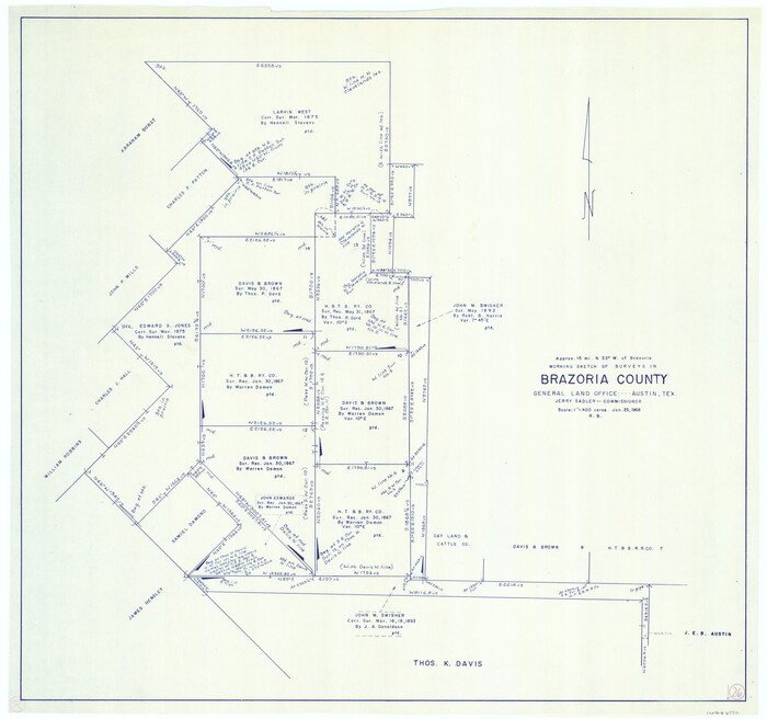

Print $20.00
- Digital $50.00
Brazoria County Working Sketch 26
1968
Size 33.2 x 35.4 inches
Map/Doc 67511
Flight Mission No. DIX-8P, Frame 94, Aransas County


Print $20.00
- Digital $50.00
Flight Mission No. DIX-8P, Frame 94, Aransas County
1956
Size 18.5 x 22.3 inches
Map/Doc 83919
Hartley County Sketch File 5
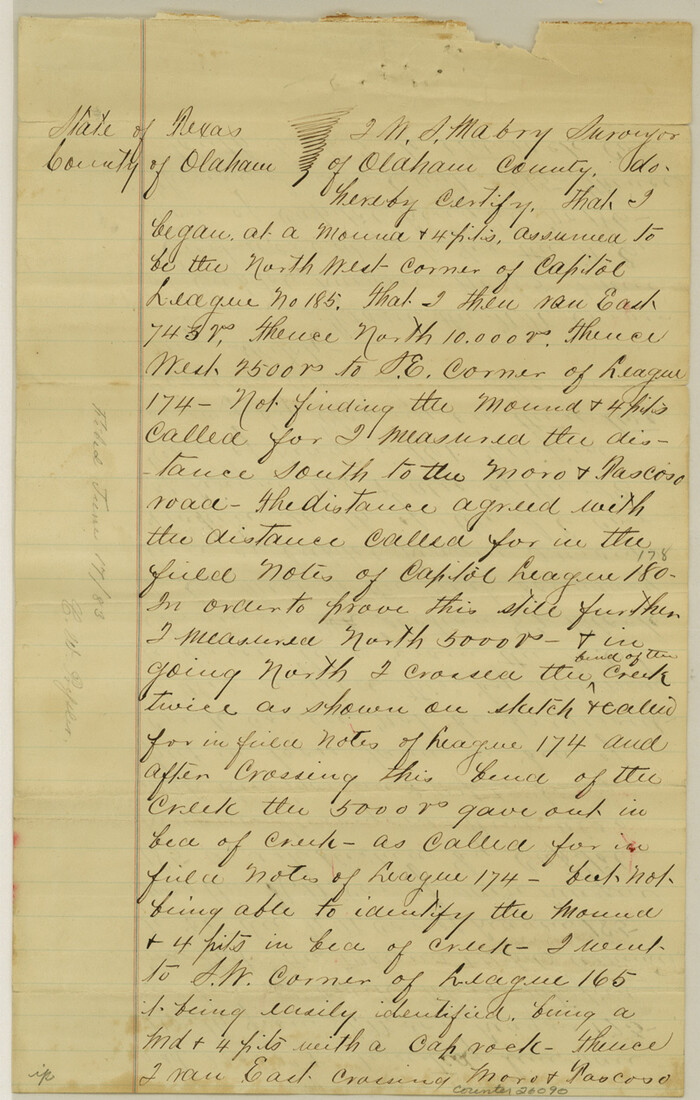

Print $8.00
- Digital $50.00
Hartley County Sketch File 5
1883
Size 12.7 x 8.1 inches
Map/Doc 26090
Visitors' Map of Galveston also showing County Shell Road to Houston
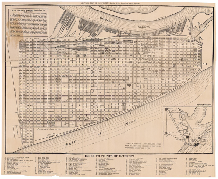

Print $20.00
- Digital $50.00
Visitors' Map of Galveston also showing County Shell Road to Houston
Size 19.6 x 23.9 inches
Map/Doc 95319
Calhoun County Working Sketch 11
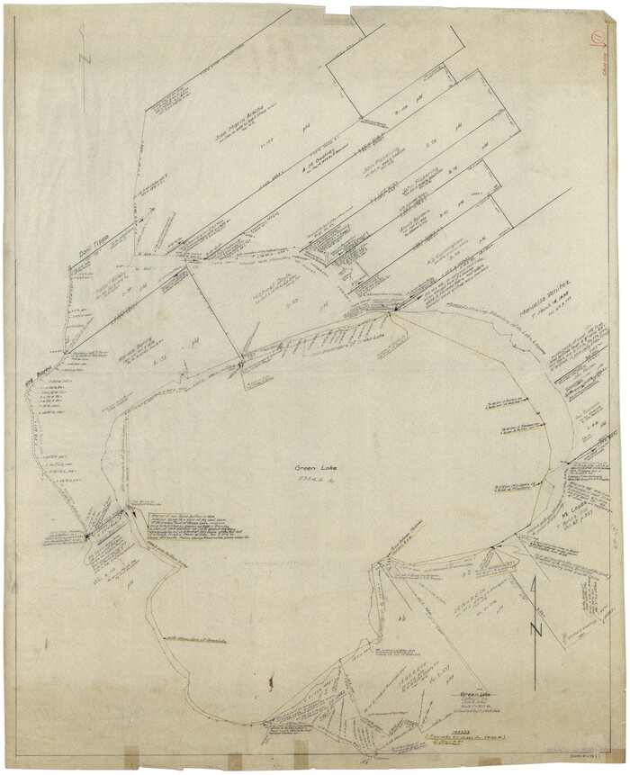

Print $20.00
- Digital $50.00
Calhoun County Working Sketch 11
1952
Size 43.1 x 34.9 inches
Map/Doc 67827
Presidio County Rolled Sketch 124


Print $20.00
- Digital $50.00
Presidio County Rolled Sketch 124
1984
Size 27.9 x 39.8 inches
Map/Doc 7396
Crosby County Rolled Sketch V
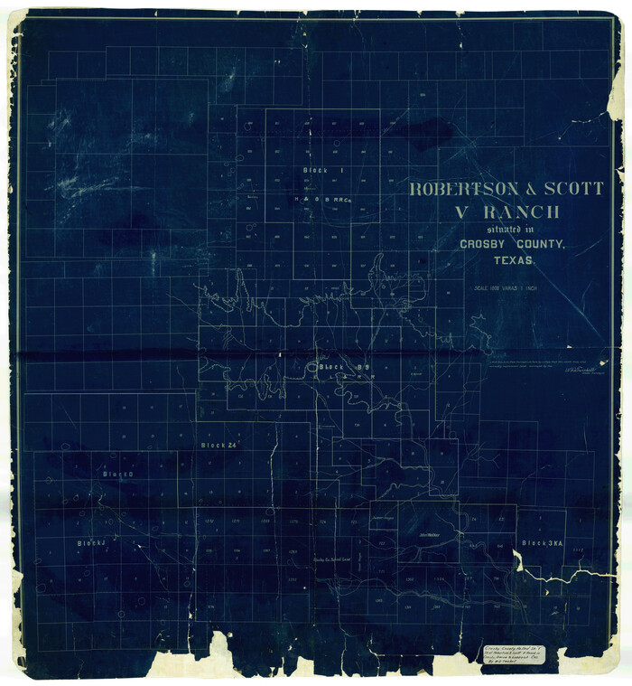

Print $20.00
- Digital $50.00
Crosby County Rolled Sketch V
Size 45.4 x 41.8 inches
Map/Doc 8739
Intracoastal Waterway in Texas - Corpus Christi to Point Isabel including Arroyo Colorado to Mo. Pac. R.R. Bridge Near Harlingen
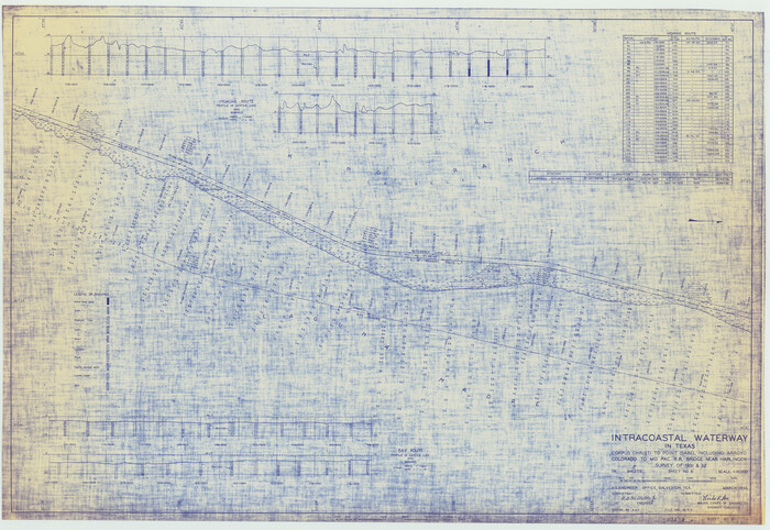

Print $20.00
- Digital $50.00
Intracoastal Waterway in Texas - Corpus Christi to Point Isabel including Arroyo Colorado to Mo. Pac. R.R. Bridge Near Harlingen
1933
Size 28.0 x 40.7 inches
Map/Doc 61848
Andrews County Boundary File 1


Print $133.00
- Digital $50.00
Andrews County Boundary File 1
Size 14.6 x 9.0 inches
Map/Doc 49664
Sherman County
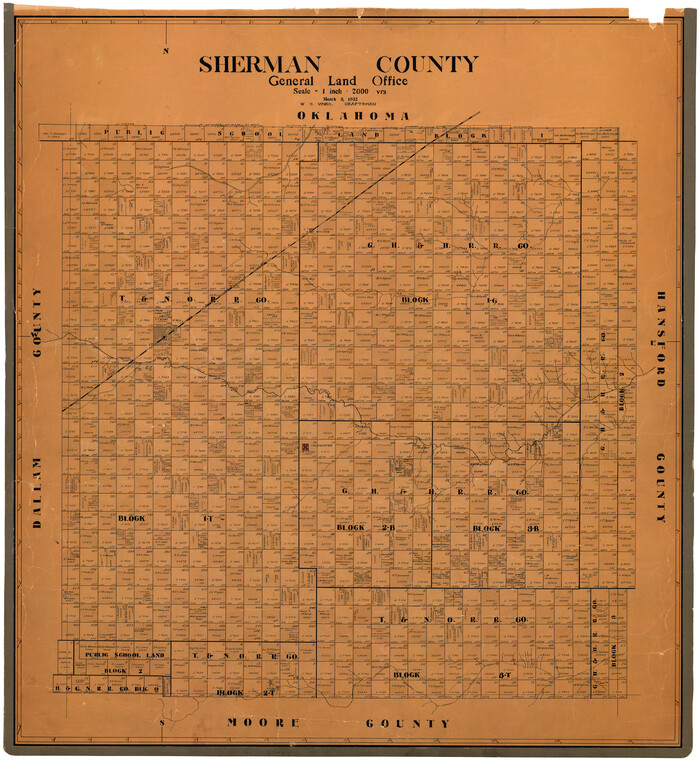

Print $20.00
- Digital $50.00
Sherman County
1932
Size 38.7 x 36.3 inches
Map/Doc 73289
Brazos River, Brazos River Sheet 6


Print $4.00
- Digital $50.00
Brazos River, Brazos River Sheet 6
1926
Size 29.0 x 24.3 inches
Map/Doc 65299
D No. 4 - Reconnaissance of New River and Bar, North Carolina


Print $20.00
- Digital $50.00
D No. 4 - Reconnaissance of New River and Bar, North Carolina
1852
Size 19.4 x 15.7 inches
Map/Doc 97211
![103, [Sketch of surveys in the Bexar District along the Pedernales River], General Map Collection](https://historictexasmaps.com/wmedia_w1800h1800/maps/103-1.tif.jpg)