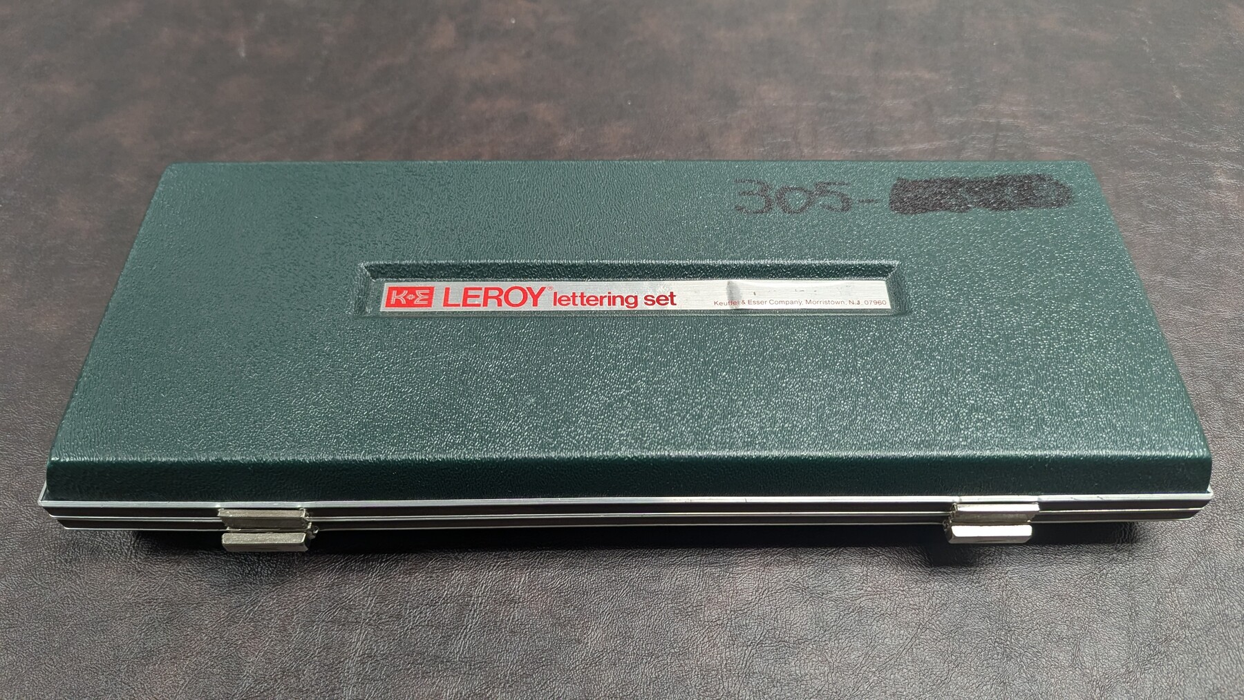
Lettering Set
Manufacturer: Keuffel & Esser Leroy Case: Dark green plastic Manufacture Location: Morristown, NJ
-
Map/Doc
97342
-
Collection
Equipment and Tools
-
Height x Width
2.3 x 16.1 inches
5.7 x 41.0 cm
Part of: Equipment and Tools


Bow compass with ruling pen attachment

Bow compass with ruling pen attachment
Size 6.5 x 3.3 inches
Map/Doc 97316


Assortment of drafting pens, ruling pens, and other surveying related instruments

Assortment of drafting pens, ruling pens, and other surveying related instruments
Map/Doc 97317


You may also like
No. 2 Chart of Corpus Christi Pass, Texas

Print $20.00
- Digital $50.00
No. 2 Chart of Corpus Christi Pass, Texas
1878
Size 18.3 x 27.3 inches
Map/Doc 73014
Surveys on the lines [?] of Plum Creek
![78384, Surveys on the lines [?] of Plum Creek, General Map Collection](https://historictexasmaps.com/wmedia_w700/maps/78384.tif.jpg)
Print $2.00
- Digital $50.00
Surveys on the lines [?] of Plum Creek
Size 10.5 x 8.4 inches
Map/Doc 78384
Red River County Working Sketch 51

Print $20.00
- Digital $50.00
Red River County Working Sketch 51
1970
Size 31.2 x 28.5 inches
Map/Doc 72034
Webb County Sketch File 51

Print $4.00
- Digital $50.00
Webb County Sketch File 51
1938
Size 11.3 x 8.8 inches
Map/Doc 39837
Sunny San Antonio - The Winter Playground of America

Sunny San Antonio - The Winter Playground of America
1920
Size 9.4 x 7.9 inches
Map/Doc 97040
Bosque County Boundary File 1

Print $34.00
- Digital $50.00
Bosque County Boundary File 1
Size 10.7 x 8.2 inches
Map/Doc 50672
Gaines County Working Sketch Graphic Index

Print $40.00
- Digital $50.00
Gaines County Working Sketch Graphic Index
1956
Size 42.7 x 54.0 inches
Map/Doc 76550
Preliminary Re-Plat of Lots 13-20, 45-52, 77-84, and 97-104 James Subdivision

Print $20.00
- Digital $50.00
Preliminary Re-Plat of Lots 13-20, 45-52, 77-84, and 97-104 James Subdivision
1953
Size 11.8 x 36.7 inches
Map/Doc 93222
Blanco County Sketch File 19

Print $4.00
- Digital $50.00
Blanco County Sketch File 19
1878
Size 12.2 x 8.0 inches
Map/Doc 14596
Jefferson County Working Sketch 6

Print $20.00
- Digital $50.00
Jefferson County Working Sketch 6
1930
Size 34.7 x 34.8 inches
Map/Doc 66549
Frio County Working Sketch 7

Print $20.00
- Digital $50.00
Frio County Working Sketch 7
1942
Size 26.5 x 43.3 inches
Map/Doc 69281
Reeves County Sketch File 17

Print $40.00
- Digital $50.00
Reeves County Sketch File 17
1943
Size 9.9 x 19.4 inches
Map/Doc 35208