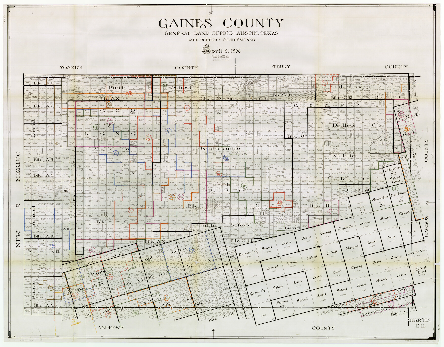
Gaines County Working Sketch Graphic Index
-
Map/Doc
76550
-
Collection
General Map Collection
-
Object Dates
4/2/1956 (Creation Date)
-
People and Organizations
M. L. Liles (Compiler)
Tommye Buie (Draftsman)
-
Counties
Gaines
-
Subjects
County Surveying Working Sketch
-
Height x Width
42.7 x 54.0 inches
108.5 x 137.2 cm
-
Scale
1" = 2000 varas
Part of: General Map Collection

Howard County Sketch File 6

Print $44.00
- Digital $50.00
Howard County Sketch File 6
1929
Size 18.6 x 14.4 inches
Map/Doc 26861
Gray County Sketch File 11

Print $40.00
- Digital $50.00
Gray County Sketch File 11
Size 15.0 x 13.5 inches
Map/Doc 24452
Flight Mission No. DQO-8K, Frame 84, Galveston County

Print $20.00
- Digital $50.00
Flight Mission No. DQO-8K, Frame 84, Galveston County
1952
Size 18.6 x 22.5 inches
Map/Doc 85186
Marion County Sketch File 19

Print $20.00
- Digital $50.00
Marion County Sketch File 19
2001
Size 11.2 x 8.8 inches
Map/Doc 30616
Nacogdoches County Rolled Sketch 1

Print $20.00
- Digital $50.00
Nacogdoches County Rolled Sketch 1
1950
Size 33.5 x 31.0 inches
Map/Doc 6836
Haskell County Working Sketch 7

Print $40.00
- Digital $50.00
Haskell County Working Sketch 7
1956
Size 52.1 x 39.0 inches
Map/Doc 66065
San Saba County Sketch File 14c

Print $40.00
- Digital $50.00
San Saba County Sketch File 14c
1894
Size 17.3 x 14.4 inches
Map/Doc 36452
Armstrong County Sketch File A-7

Print $40.00
- Digital $50.00
Armstrong County Sketch File A-7
Size 15.0 x 20.4 inches
Map/Doc 10848
Throckmorton County Sketch File 5

Print $58.00
- Digital $50.00
Throckmorton County Sketch File 5
Size 14.4 x 8.7 inches
Map/Doc 38056
Aransas County Sketch File 4

Print $4.00
- Digital $50.00
Aransas County Sketch File 4
1848
Size 10.8 x 8.9 inches
Map/Doc 13106
Calhoun County Sketch File 1

Print $7.00
- Digital $50.00
Calhoun County Sketch File 1
1855
Size 17.1 x 11.0 inches
Map/Doc 11031
You may also like
Mills County Sketch File 14a

Print $4.00
- Digital $50.00
Mills County Sketch File 14a
Size 13.0 x 8.2 inches
Map/Doc 31663
Upton County Rolled Sketch 50

Print $20.00
- Digital $50.00
Upton County Rolled Sketch 50
1959
Size 20.8 x 32.7 inches
Map/Doc 8085
Map of north end of Brazos Island

Print $20.00
- Digital $50.00
Map of north end of Brazos Island
1845
Size 24.3 x 18.3 inches
Map/Doc 72918
Cameron County Rolled Sketch US

Print $20.00
- Digital $50.00
Cameron County Rolled Sketch US
1913
Size 31.1 x 26.3 inches
Map/Doc 5398
Val Verde County Sketch File 15a

Print $40.00
- Digital $50.00
Val Verde County Sketch File 15a
1885
Size 15.8 x 12.7 inches
Map/Doc 39217
Crockett County Rolled Sketch 55

Print $40.00
- Digital $50.00
Crockett County Rolled Sketch 55
Size 42.3 x 95.8 inches
Map/Doc 8718
Blanco County Working Sketch 30

Print $20.00
- Digital $50.00
Blanco County Working Sketch 30
1971
Size 22.9 x 34.6 inches
Map/Doc 67390
Sketch from Ward and Crane Counties

Print $20.00
- Digital $50.00
Sketch from Ward and Crane Counties
Size 42.9 x 23.6 inches
Map/Doc 92557
Lands of C. W. Post in Garza and Lynn Counties, Texas, and Surrounding Lands

Print $20.00
- Digital $50.00
Lands of C. W. Post in Garza and Lynn Counties, Texas, and Surrounding Lands
Size 15.8 x 18.0 inches
Map/Doc 92645
Plat in Pecos County, Texas

Print $20.00
- Digital $50.00
Plat in Pecos County, Texas
Size 38.7 x 37.5 inches
Map/Doc 89834
Gaines County Rolled Sketch 14A

Print $40.00
- Digital $50.00
Gaines County Rolled Sketch 14A
1940
Size 24.8 x 129.0 inches
Map/Doc 9031
Amistad International Reservoir on Rio Grande 80

Print $20.00
- Digital $50.00
Amistad International Reservoir on Rio Grande 80
1949
Size 28.4 x 40.2 inches
Map/Doc 75509