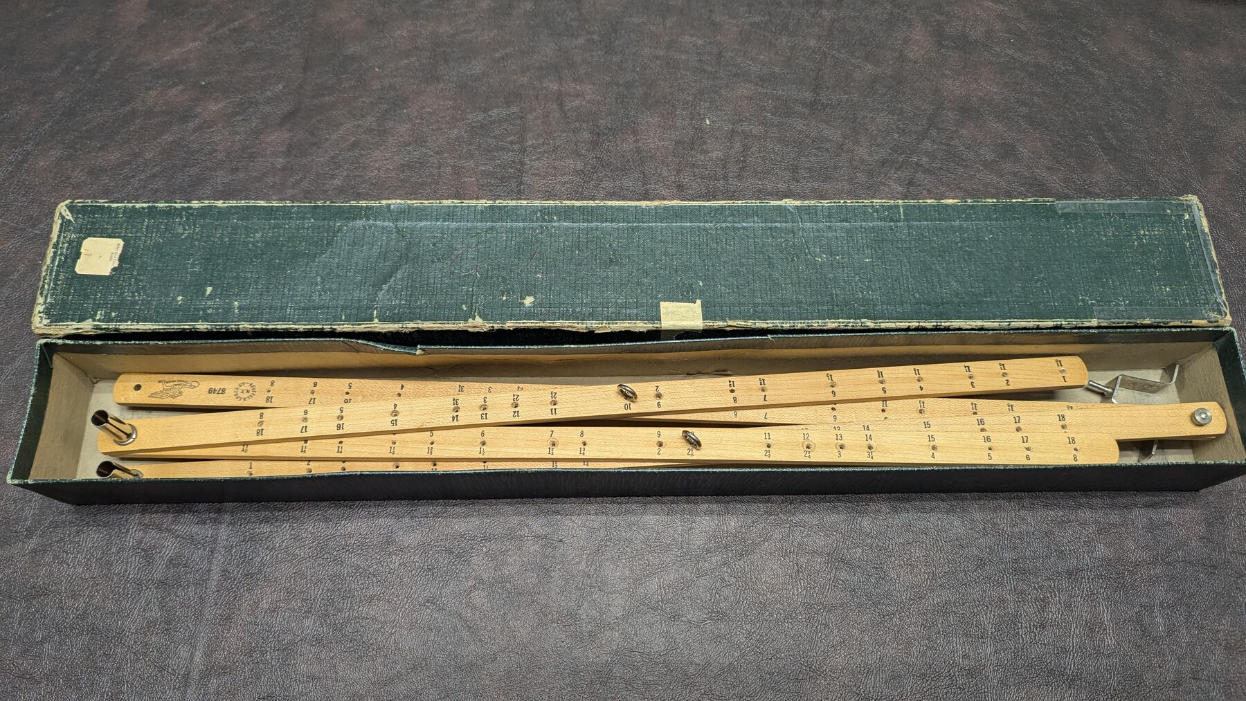
K&E Pantograph, 21"
Manufacturer: Keuffel & Esser Co. Serial Number: 8749 Case: Cardboard box Manufacture Location: New York
-
Map/Doc
97310
-
Collection
General Map Collection
-
Object Dates
1947 (Other Date)
-
Height x Width
2.1 x 21.9 inches
5.4 x 55.6 cm
Part of: General Map Collection
Cherokee County Sketch File 16

Print $44.00
- Digital $50.00
Cherokee County Sketch File 16
1862
Size 10.0 x 8.0 inches
Map/Doc 18152
Archer County Sketch File 25

Print $40.00
- Digital $50.00
Archer County Sketch File 25
Size 22.3 x 46.6 inches
Map/Doc 10348
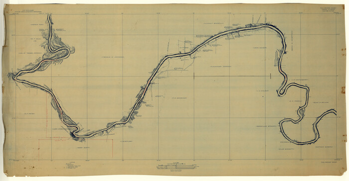
Right of Way and Track Map of The Missouri, Kansas & Texas Railway of Texas

Print $40.00
- Digital $50.00
Right of Way and Track Map of The Missouri, Kansas & Texas Railway of Texas
1918
Size 25.7 x 107.8 inches
Map/Doc 64532
Foard County Sketch File 23

Print $20.00
- Digital $50.00
Foard County Sketch File 23
1891
Size 21.3 x 24.7 inches
Map/Doc 4544
Lynn County Working Sketch 3

Print $20.00
- Digital $50.00
Lynn County Working Sketch 3
Size 30.8 x 30.9 inches
Map/Doc 70673

Kenedy County Boundary File 1

Print $10.00
- Digital $50.00
Kenedy County Boundary File 1
Size 9.1 x 5.5 inches
Map/Doc 55777
Nueces County Rolled Sketch 74

Print $32.00
Nueces County Rolled Sketch 74
1981
Size 18.4 x 25.3 inches
Map/Doc 6932
Pecos County Rolled Sketch 133

Print $40.00
- Digital $50.00
Pecos County Rolled Sketch 133
1952
Size 50.8 x 12.1 inches
Map/Doc 9729
Hartley County Boundary File 2a

Print $48.00
- Digital $50.00
Hartley County Boundary File 2a
Size 14.2 x 8.8 inches
Map/Doc 54461
Cass County Rolled Sketch 4

Print $20.00
- Digital $50.00
Cass County Rolled Sketch 4
1946
Size 20.2 x 15.1 inches
Map/Doc 5410
Map of Hardin County

Print $20.00
- Digital $50.00
Map of Hardin County
1902
Size 43.8 x 42.3 inches
Map/Doc 4699
You may also like
[West Half of Potter County, South of River and West Half of Randall County]
![91828, [West Half of Potter County, South of River and West Half of Randall County], Twichell Survey Records](https://historictexasmaps.com/wmedia_w700/maps/91828.tif.jpg)
Print $20.00
- Digital $50.00
[West Half of Potter County, South of River and West Half of Randall County]
Size 25.9 x 43.0 inches
Map/Doc 91828
[Texas Boundary Line]
![92073, [Texas Boundary Line], Twichell Survey Records](https://historictexasmaps.com/wmedia_w700/maps/92073-1.tif.jpg)
Print $20.00
- Digital $50.00
[Texas Boundary Line]
Size 21.5 x 11.9 inches
Map/Doc 92073
Fort Bend County

Print $20.00
- Digital $50.00
Fort Bend County
1882
Size 21.4 x 22.7 inches
Map/Doc 3554
Trinity County Working Sketch 26

Print $20.00
- Digital $50.00
Trinity County Working Sketch 26
2010
Size 21.0 x 34.1 inches
Map/Doc 89601
Freestone County Boundary File 30b

Print $20.00
- Digital $50.00
Freestone County Boundary File 30b
Size 43.9 x 12.4 inches
Map/Doc 53598
Galveston County Rolled Sketch 43A

Print $20.00
- Digital $50.00
Galveston County Rolled Sketch 43A
Size 16.2 x 20.3 inches
Map/Doc 76005
Houston County Working Sketch 31

Print $20.00
- Digital $50.00
Houston County Working Sketch 31
1987
Size 23.9 x 37.3 inches
Map/Doc 66261
Gregg County Rolled Sketch 8A
Print $40.00
- Digital $50.00
Gregg County Rolled Sketch 8A
Size 25.5 x 50.3 inches
Map/Doc 9028

Goliad County Sketch File 39

Print $14.00
- Digital $50.00
Goliad County Sketch File 39
1941
Size 14.3 x 8.8 inches
Map/Doc 24340
Collin County Working Sketch Graphic Index

Print $20.00
- Digital $50.00
Collin County Working Sketch Graphic Index
1975
Size 41.4 x 39.0 inches
Map/Doc 76498
Map of Martinsburg Property, Gillespie Co., Tex.

Print $20.00
- Digital $50.00
Map of Martinsburg Property, Gillespie Co., Tex.
Size 15.7 x 13.6 inches
Map/Doc 446