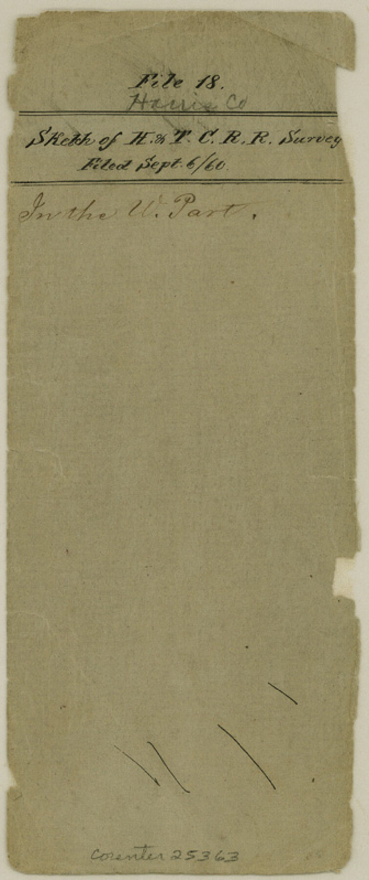
Harris County Sketch File 18
[Sketch of H. & T. C. RR. Co. surveys in west part of county]
-
Map/Doc
25363
-
Collection
General Map Collection
-
Object Dates
1860/9/6 (File Date)
1860/8/21 (Survey Date)
1860/8/21 (Creation Date)
-
People and Organizations
Will Poivais ()
-
Counties
Harris Fort Bend Waller
-
Subjects
Surveying Sketch File
-
Height x Width
8.0 x 3.4 inches
20.3 x 8.6 cm
-
Medium
paper, manuscript
-
Features
Bear Creek
South Brays Bayou
Snake Creek
Buffalo Bayou
Part of: General Map Collection
Jeff Davis County Working Sketch 19

Print $40.00
- Digital $50.00
Jeff Davis County Working Sketch 19
1957
Size 71.3 x 34.1 inches
Map/Doc 66514
Jefferson County Rolled Sketch 56

Print $20.00
- Digital $50.00
Jefferson County Rolled Sketch 56
1953
Size 32.1 x 43.8 inches
Map/Doc 6406
Williamson County Sketch File 26

Print $30.00
- Digital $50.00
Williamson County Sketch File 26
1853
Size 14.2 x 8.8 inches
Map/Doc 40367
Map of north end of Brazos Island

Print $20.00
- Digital $50.00
Map of north end of Brazos Island
Size 27.7 x 18.3 inches
Map/Doc 72907
Gaines County

Print $40.00
- Digital $50.00
Gaines County
1956
Size 43.8 x 55.0 inches
Map/Doc 73154
Jefferson County Rolled Sketch 4

Print $40.00
- Digital $50.00
Jefferson County Rolled Sketch 4
Size 36.7 x 65.3 inches
Map/Doc 9269
Leon County Working Sketch 5

Print $20.00
- Digital $50.00
Leon County Working Sketch 5
1905
Size 40.5 x 20.6 inches
Map/Doc 70404
Map of the Western Part of Bexar District

Print $40.00
- Digital $50.00
Map of the Western Part of Bexar District
1849
Size 63.5 x 21.6 inches
Map/Doc 87375
Colorado County Sketch File 3b

Print $4.00
- Digital $50.00
Colorado County Sketch File 3b
Size 7.0 x 8.2 inches
Map/Doc 18913
Calhoun County Sketch File 15

Print $40.00
- Digital $50.00
Calhoun County Sketch File 15
1929
Size 36.8 x 25.4 inches
Map/Doc 11036
Flight Mission No. BQR-5K, Frame 68, Brazoria County

Print $20.00
- Digital $50.00
Flight Mission No. BQR-5K, Frame 68, Brazoria County
1952
Size 18.8 x 22.5 inches
Map/Doc 84013
Martin County Boundary File 3

Print $2.00
- Digital $50.00
Martin County Boundary File 3
Size 7.1 x 11.3 inches
Map/Doc 56781
You may also like
Motley County Working Sketch 4

Print $20.00
- Digital $50.00
Motley County Working Sketch 4
1914
Size 19.9 x 10.2 inches
Map/Doc 71209

Brazoria County Working Sketch 25

Print $20.00
- Digital $50.00
Brazoria County Working Sketch 25
1964
Size 31.2 x 44.4 inches
Map/Doc 67510
Hudspeth County Rolled Sketch 69

Print $20.00
- Digital $50.00
Hudspeth County Rolled Sketch 69
1973
Size 12.3 x 19.2 inches
Map/Doc 7718
Flight Mission No. DAG-18K, Frame 75, Matagorda County

Print $20.00
- Digital $50.00
Flight Mission No. DAG-18K, Frame 75, Matagorda County
1952
Size 18.5 x 19.1 inches
Map/Doc 86368
Galveston County Sketch File 73

Print $78.00
- Digital $50.00
Galveston County Sketch File 73
1998
Size 11.3 x 8.8 inches
Map/Doc 23980
Hutchinson County Boundary File 3

Print $4.00
- Digital $50.00
Hutchinson County Boundary File 3
Size 11.3 x 8.9 inches
Map/Doc 55303
Angelina County Sketch File 26

Print $40.00
- Digital $50.00
Angelina County Sketch File 26
1909
Size 18.0 x 23.0 inches
Map/Doc 10817
Travis County Rolled Sketch 32A

Print $40.00
- Digital $50.00
Travis County Rolled Sketch 32A
Size 57.6 x 37.3 inches
Map/Doc 10013
General Highway Map, Terrell County, Texas

Print $20.00
General Highway Map, Terrell County, Texas
1961
Size 24.9 x 18.2 inches
Map/Doc 79674
Falls County Sketch File 22

Print $10.00
- Digital $50.00
Falls County Sketch File 22
1921
Size 8.3 x 5.4 inches
Map/Doc 22423
The Cotton Kingdom: a Traveller's Observations on Cotton and Slavery in the American Slave States

The Cotton Kingdom: a Traveller's Observations on Cotton and Slavery in the American Slave States
Map/Doc 96571