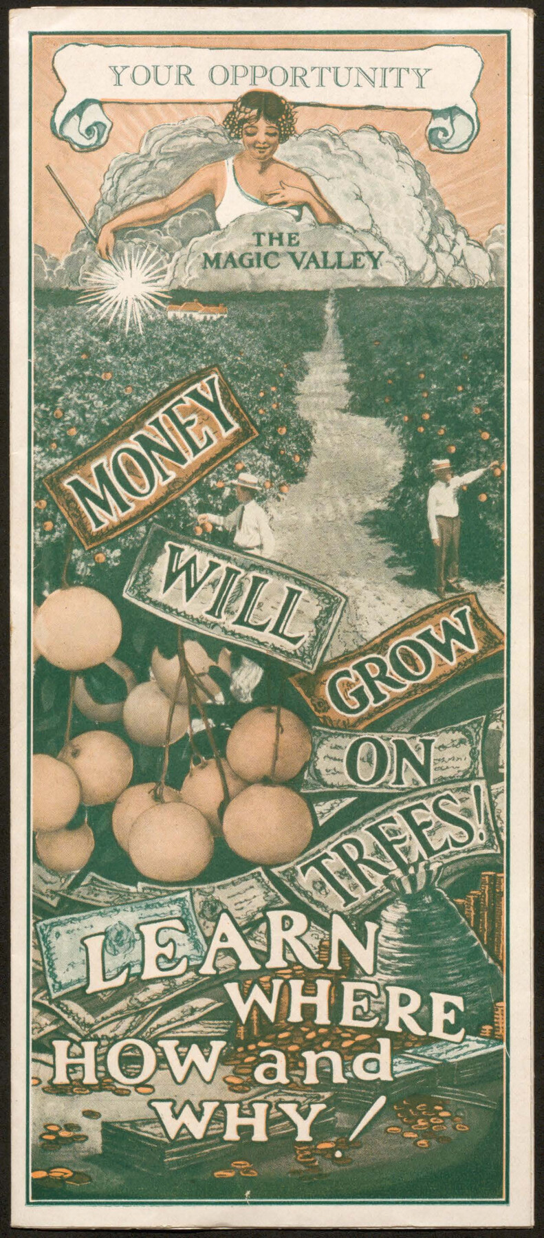
Your Opportunity - the Magic Valley - Money Will Grow on Trees! Learn Where How and Why!
- 
                          Map/Doc
96740
 - 
                            Collection
Cobb Digital Map Collection
 - 
                            Object Dates
1928 (Creation Date)
 - 
                            People and Organizations
A.J. McColl Land Company (Publisher)
 - 
                            Subjects
Railroads Bound Volume
 - 
                            Medium
pdf
 - 
                            Comments
Courtesy of John & Diana Cobb.
 
Part of: Cobb Digital Map Collection
            Map of Texas with population and location of principal towns and cities according to latest reliable statistics


                                            Print $20.00                    
                                             -                         Digital $50.00                                    
                Map of Texas with population and location of principal towns and cities according to latest reliable statistics
1906
Size 18.6 x 20.5 inches
                                Map/Doc 95871
            
            Map of Texas to accompany Granger's Southern and Western Texas Guide


                                            Print $20.00                    
                                             -                         Digital $50.00                                    
                Map of Texas to accompany Granger's Southern and Western Texas Guide
1878
Size 26.7 x 20.8 inches
                                Map/Doc 96612
            
            Greater Texas - the Lower Coast Country and the Lower Rio Grande Valley


            Greater Texas - the Lower Coast Country and the Lower Rio Grande Valley
1910
Map/Doc 96726
            
            Map of Texas with population and location of principal towns and cities according to latest reliable statistics


                                            Print $20.00                    
                                             -                         Digital $50.00                                    
                Map of Texas with population and location of principal towns and cities according to latest reliable statistics
1910
Size 19.1 x 20.6 inches
                                Map/Doc 95878
            
            The Beautiful Valley of the Lower Rio Grande


            The Beautiful Valley of the Lower Rio Grande
1925
Map/Doc 96735
            
            The Rand McNally New Commercial Atlas Map of Texas


                                            Print $20.00                    
                                             -                         Digital $50.00                                    
                The Rand McNally New Commercial Atlas Map of Texas
1917
Size 28.7 x 40.6 inches
                                Map/Doc 95850
            
            The Rand McNally New Commercial Atlas Map of Texas


                                            Print $20.00                    
                                             -                         Digital $50.00                                    
                The Rand McNally New Commercial Atlas Map of Texas
1920
Size 29.0 x 40.1 inches
                                Map/Doc 95863
            
            The Texarkana Gateway to Texas and the Southwest issued jointly by the Iron Mountain Route, the Cotton Belt Route, the Texas & Pacific Railway, and the International & Great Northern Railroad


            The Texarkana Gateway to Texas and the Southwest issued jointly by the Iron Mountain Route, the Cotton Belt Route, the Texas & Pacific Railway, and the International & Great Northern Railroad
1896
Size 6.6 x 9.4 inches
                                Map/Doc 96585
            
            Map of the Texas & Pacific Railway and connections


                                            Print $20.00                    
                                             -                         Digital $50.00                                    
                Map of the Texas & Pacific Railway and connections
1899
Size 17.9 x 36.6 inches
                                Map/Doc 95765
            You may also like
            Hutchinson County Rolled Sketch 44-8


                                            Print $20.00                    
                                             -                         Digital $50.00                                    
                Hutchinson County Rolled Sketch 44-8
2002
Size 24.0 x 36.0 inches
                                Map/Doc 77544
            
            Flight Mission No. DQN-5K, Frame 146, Calhoun County


                                            Print $20.00                    
                                             -                         Digital $50.00                                    
                Flight Mission No. DQN-5K, Frame 146, Calhoun County
1953
Size 18.6 x 22.2 inches
                                Map/Doc 84421
            
            Upton County Working Sketch 48


                                            Print $20.00                    
                                             -                         Digital $50.00                                    
                Upton County Working Sketch 48
1975
Size 29.3 x 24.3 inches
                                Map/Doc 69544
            
            Menard County Boundary File 12


                                            Print $66.00                    
                                             -                         Digital $50.00                                    
                Menard County Boundary File 12
Size 8.7 x 8.7 inches
                                Map/Doc 57099
            
            Cooke County Boundary File 3


                                            Print $4.00                    
                                             -                         Digital $50.00                                    
                Cooke County Boundary File 3
Size 7.3 x 8.7 inches
                                Map/Doc 51853
            
            PSL Field Notes for Blocks A27 and A28 in Andrews and Gaines Counties, and Blocks A6 through A13, A20 through A26, and A30 in Gaines County


            PSL Field Notes for Blocks A27 and A28 in Andrews and Gaines Counties, and Blocks A6 through A13, A20 through A26, and A30 in Gaines County
Map/Doc 81654
            
            Hudspeth County Working Sketch 44


                                            Print $20.00                    
                                             -                         Digital $50.00                                    
                Hudspeth County Working Sketch 44
1982
Size 25.5 x 22.2 inches
                                Map/Doc 66329
            
            Uvalde County Working Sketch 1


                                            Print $20.00                    
                                             -                         Digital $50.00                                    
                Uvalde County Working Sketch 1
1911
Size 27.3 x 21.0 inches
                                Map/Doc 72071
            
            Menard County Working Sketch 5


                                            Print $20.00                    
                                             -                         Digital $50.00                                    
                Menard County Working Sketch 5
1921
Size 17.2 x 22.3 inches
                                Map/Doc 70952
            
            State Land for Sale on Mustang Island


                                            Print $20.00                    
                                             -                         Digital $50.00                                    
                State Land for Sale on Mustang Island
1910
Size 28.8 x 20.3 inches
                                Map/Doc 719
            
            Eastland County Sketch File 2b


                                            Print $6.00                    
                                             -                         Digital $50.00                                    
                Eastland County Sketch File 2b
1857
Size 11.1 x 8.8 inches
                                Map/Doc 21563
            
            Wood County Working Sketch 6


                                            Print $20.00                    
                                             -                         Digital $50.00                                    
                Wood County Working Sketch 6
1941
Size 29.9 x 17.5 inches
                                Map/Doc 62006