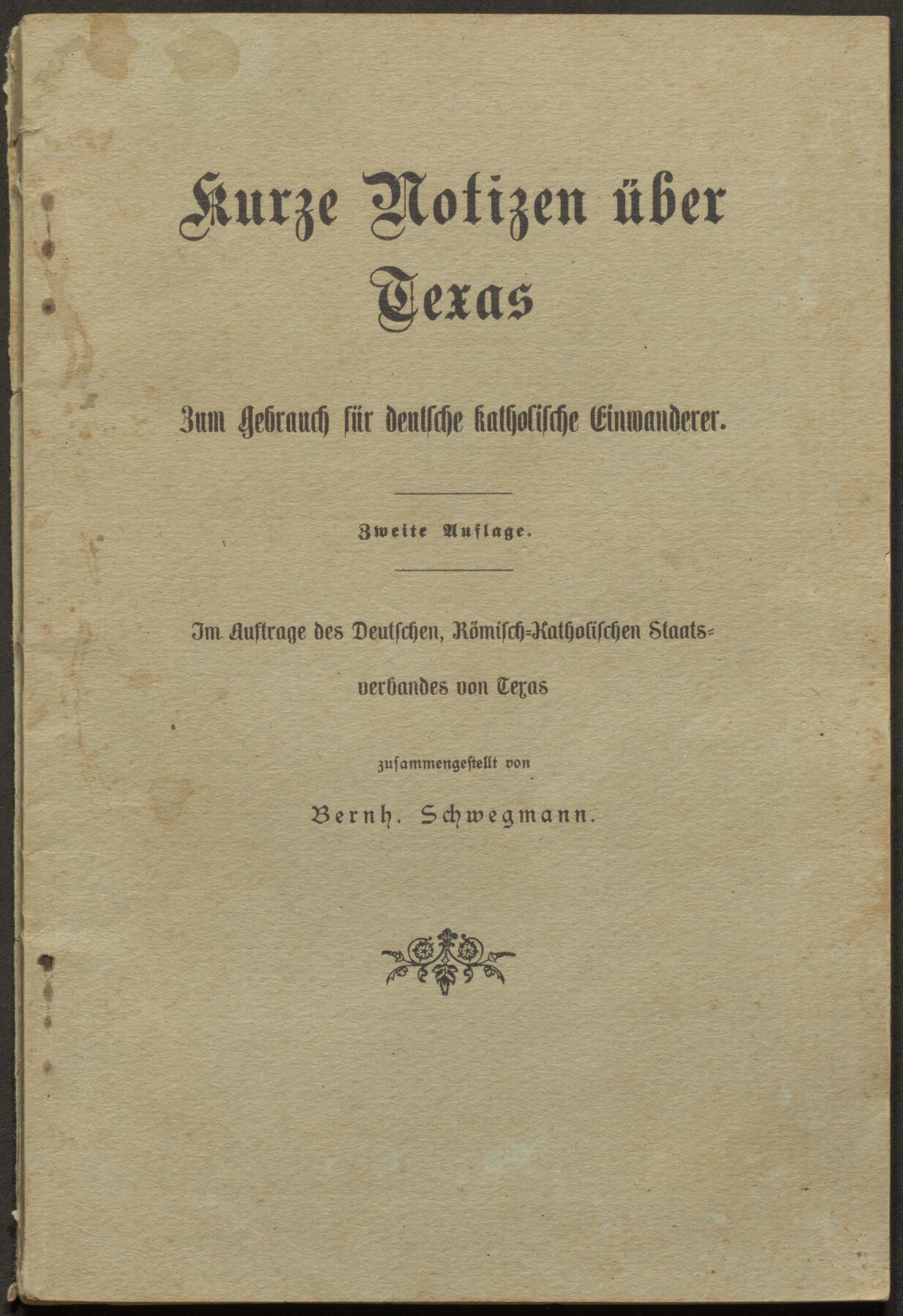
Kurze Notizen uber Texas
-
Map/Doc
96777
-
Collection
Cobb Digital Map Collection
-
Object Dates
1912 (Creation Date)
-
People and Organizations
Lambert-Deacon-Hull Ptg. Co. (Printer)
-
Subjects
Railroads Bound Volume
-
Medium
pdf
-
Comments
Courtesy of John & Diana Cobb.
Part of: Cobb Digital Map Collection
The Lower Valley of the Rio Grande Irrigated Farm Lands

Print $20.00
- Digital $50.00
The Lower Valley of the Rio Grande Irrigated Farm Lands
1918
Size 24.6 x 18.6 inches
Map/Doc 96729

Colonists' and Emigrants' Route to Texas

Print $20.00
- Digital $50.00
Colonists' and Emigrants' Route to Texas
1878
Size 14.8 x 23.7 inches
Map/Doc 95777
County and Railroad Map of Texas

Print $20.00
- Digital $50.00
County and Railroad Map of Texas
1875
Size 17.4 x 16.0 inches
Map/Doc 95754
Map of the Great Air Line Route, Ohio & Mississippi Railway and connections

Print $20.00
- Digital $50.00
Map of the Great Air Line Route, Ohio & Mississippi Railway and connections
1878
Size 12.8 x 26.4 inches
Map/Doc 95820

Map Exhibiting the Leading Transportation Lines of the Pacific Coast, prepared for the report of the Chief of the Bureau of Statistics on the internal commerce of the United States

Print $20.00
- Digital $50.00
Map Exhibiting the Leading Transportation Lines of the Pacific Coast, prepared for the report of the Chief of the Bureau of Statistics on the internal commerce of the United States
1887
Size 22.2 x 24.5 inches
Map/Doc 95905
Map of Texas with population and location of principal towns and cities according to latest reliable statistics

Print $20.00
- Digital $50.00
Map of Texas with population and location of principal towns and cities according to latest reliable statistics
1910
Size 19.1 x 20.6 inches
Map/Doc 95878
Map of the Texas & Pacific Railway "Gould System" Lines and connections

Print $20.00
- Digital $50.00
Map of the Texas & Pacific Railway "Gould System" Lines and connections
1906
Size 17.7 x 36.6 inches
Map/Doc 95769

Port Houston, the Commercial Center of the South and West

Port Houston, the Commercial Center of the South and West
1900
Size 4.9 x 6.5 inches
Map/Doc 97068
Shallow Water Country of Northwest Texas

Shallow Water Country of Northwest Texas
1916
Map/Doc 96758
You may also like
Tyler County Sketch File 16

Print $6.00
- Digital $50.00
Tyler County Sketch File 16
1860
Size 9.4 x 11.8 inches
Map/Doc 38661
Flight Mission No. CLL-1N, Frame 191, Willacy County

Print $20.00
- Digital $50.00
Flight Mission No. CLL-1N, Frame 191, Willacy County
1954
Size 18.3 x 22.0 inches
Map/Doc 87061
Limestone County Working Sketch 4

Print $20.00
- Digital $50.00
Limestone County Working Sketch 4
1921
Size 20.2 x 26.3 inches
Map/Doc 70554
Jack County Working Sketch 5

Print $20.00
- Digital $50.00
Jack County Working Sketch 5
1952
Size 25.7 x 22.1 inches
Map/Doc 66431
Pecos County Working Sketch 3

Print $20.00
- Digital $50.00
Pecos County Working Sketch 3
1927
Map/Doc 71473
Wise County Rolled Sketch 5

Print $20.00
- Digital $50.00
Wise County Rolled Sketch 5
Size 19.4 x 21.4 inches
Map/Doc 8271
Coryell County Working Sketch 3

Print $20.00
- Digital $50.00
Coryell County Working Sketch 3
1928
Size 23.6 x 22.5 inches
Map/Doc 68210
Ector County Working Sketch 2

Print $20.00
- Digital $50.00
Ector County Working Sketch 2
1930
Size 33.1 x 38.2 inches
Map/Doc 68845
Flight Mission No. DIX-10P, Frame 181, Aransas County

Print $20.00
- Digital $50.00
Flight Mission No. DIX-10P, Frame 181, Aransas County
1956
Size 18.5 x 22.2 inches
Map/Doc 83971
Childress County Sketch File 16b

Print $6.00
- Digital $50.00
Childress County Sketch File 16b
1884
Size 12.6 x 8.1 inches
Map/Doc 18305
Schleicher County Sketch File 24a

Print $20.00
- Digital $50.00
Schleicher County Sketch File 24a
Size 16.1 x 16.4 inches
Map/Doc 12303
Webb County Rolled Sketch 3

Print $20.00
- Digital $50.00
Webb County Rolled Sketch 3
1884
Size 19.7 x 24.8 inches
Map/Doc 8170