[Map of Kentucky and Tennessee]
-
Map/Doc
96623
-
Collection
Cobb Digital Map Collection
-
Object Dates
1869 (Creation Date)
-
People and Organizations
American Photo-Lithographic Company (Printer)
-
Height x Width
8.9 x 9.5 inches
22.6 x 24.1 cm
-
Medium
digital image
-
Comments
Courtesy of John & Diana Cobb. Map is included in the book "Where to Emigrate and Why" (96610).
Related maps
Part of: Cobb Digital Map Collection
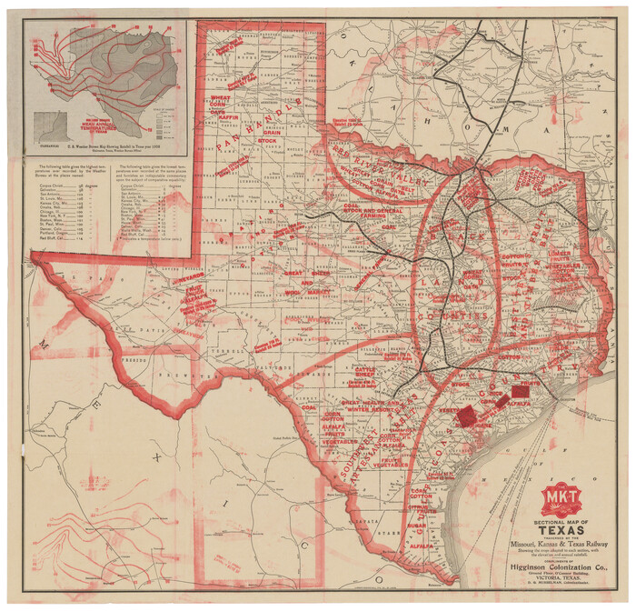
Sectional map of Texas traversed by the Missouri, Kansas & Texas Railway, showing the crops adapted to each section, with the elevation and annual rainfall

Print $20.00
- Digital $50.00
Sectional map of Texas traversed by the Missouri, Kansas & Texas Railway, showing the crops adapted to each section, with the elevation and annual rainfall
1908
Size 22.0 x 22.9 inches
Map/Doc 95816
Sectional map of Texas traversed by the Missouri, Kansas & Texas Railway, showing the crops adapted to each section, with the elevation and annual rainfall


Print $20.00
- Digital $50.00
Sectional map of Texas traversed by the Missouri, Kansas & Texas Railway, showing the crops adapted to each section, with the elevation and annual rainfall
1904
Size 21.9 x 22.6 inches
Map/Doc 95813
Red River County, Texas


Print $20.00
- Digital $50.00
Red River County, Texas
Size 22.2 x 17.2 inches
Map/Doc 95756
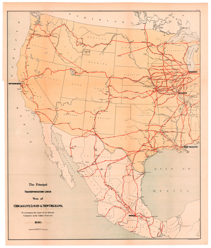
The Principal Transportation Lines west of Chicago, St. Louis, & New Orleans, to accompany the report on the Internal Commerce of the United States for 1880

Print $20.00
- Digital $50.00
The Principal Transportation Lines west of Chicago, St. Louis, & New Orleans, to accompany the report on the Internal Commerce of the United States for 1880
1880
Size 26.7 x 22.7 inches
Map/Doc 95906
Missouri, Kansas, & Texas Ry.


Print $20.00
- Digital $50.00
Missouri, Kansas, & Texas Ry.
Size 6.7 x 5.4 inches
Map/Doc 96598
Galveston - The Playground of the Nation

Galveston - The Playground of the Nation
1913
Size 6.1 x 8.3 inches
Map/Doc 97060
Mme. Begue and her Recipes - Old Creole Cookery

Mme. Begue and her Recipes - Old Creole Cookery
1900
Size 5.9 x 3.9 inches
Map/Doc 96607
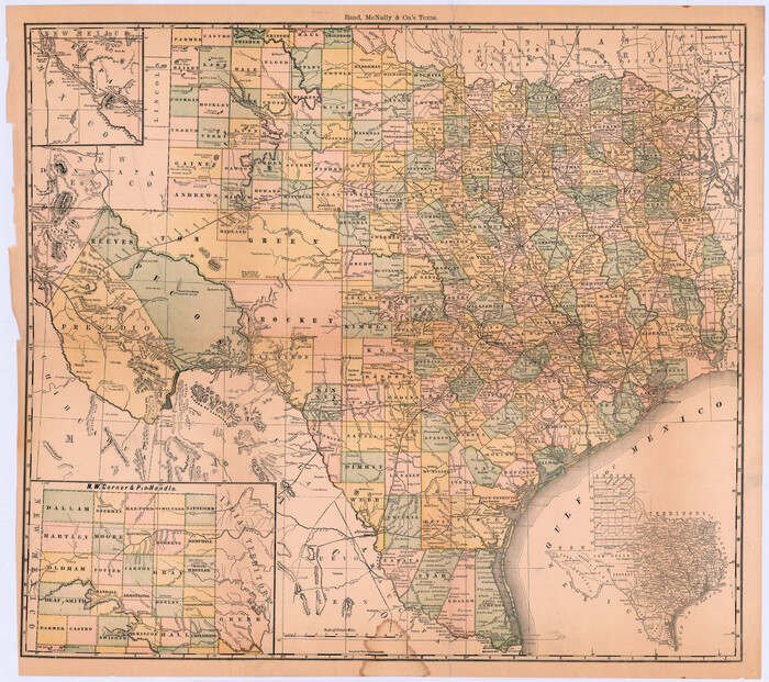
Rand, McNally & Co.'s Texas

Print $20.00
- Digital $50.00
Rand, McNally & Co.'s Texas
1887
Size 27.2 x 30.7 inches
Map/Doc 95884
Profitable Products of East Texas, Orchards and Gardens


Profitable Products of East Texas, Orchards and Gardens
1910
Map/Doc 96775
You may also like
Plat of Land Purchased by C. W. Post in Hockley County, Texas


Print $20.00
- Digital $50.00
Plat of Land Purchased by C. W. Post in Hockley County, Texas
Size 18.4 x 14.5 inches
Map/Doc 91196
Uvalde County Working Sketch 64, revised
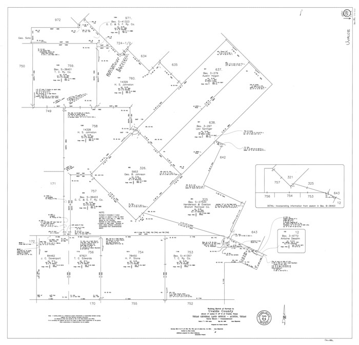

Print $20.00
- Digital $50.00
Uvalde County Working Sketch 64, revised
1998
Size 34.2 x 35.5 inches
Map/Doc 72135
Victoria County Sketch File 1
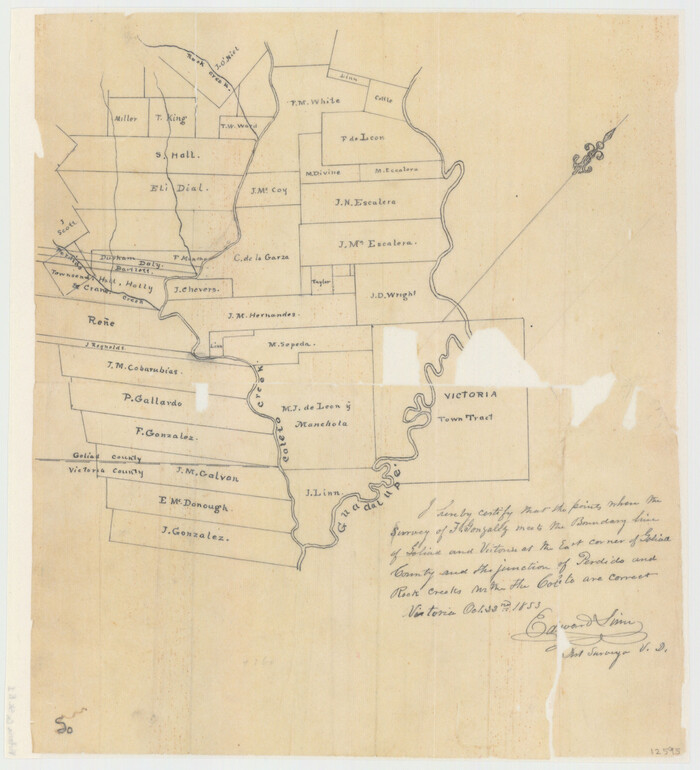

Print $20.00
- Digital $50.00
Victoria County Sketch File 1
1853
Size 12.9 x 17.3 inches
Map/Doc 12595
Flight Mission No. DQO-8K, Frame 47, Galveston County
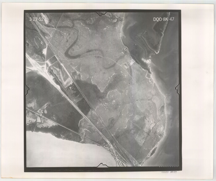

Print $20.00
- Digital $50.00
Flight Mission No. DQO-8K, Frame 47, Galveston County
1952
Size 18.7 x 22.2 inches
Map/Doc 85154
Map of the CB Live Stock Co. -N- Ranch situated in Crosby County, Texas
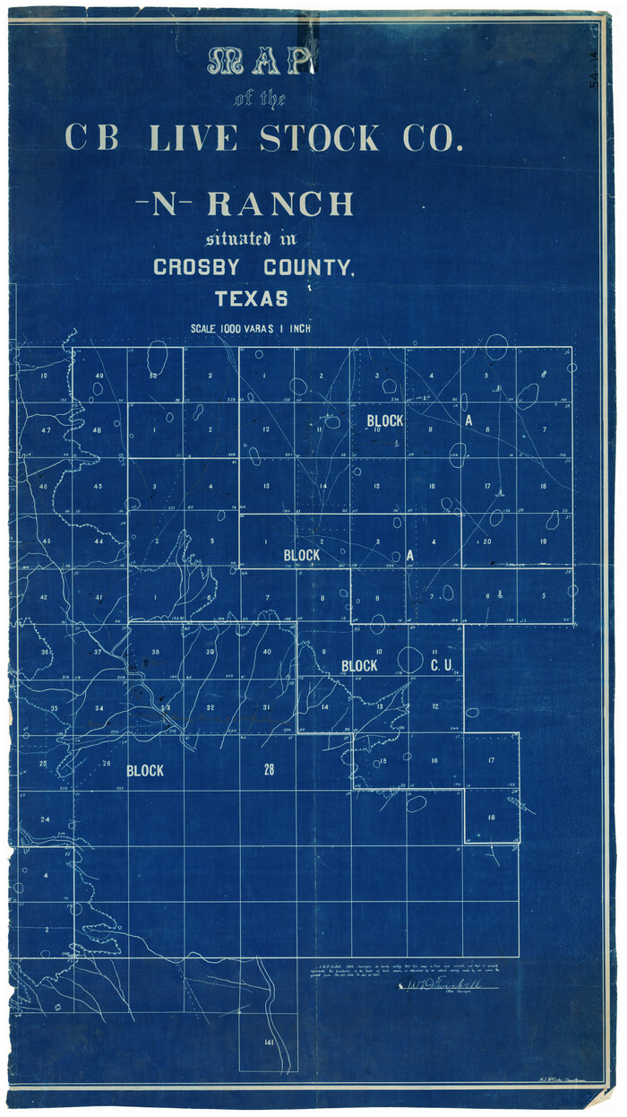

Print $20.00
- Digital $50.00
Map of the CB Live Stock Co. -N- Ranch situated in Crosby County, Texas
Size 21.2 x 38.1 inches
Map/Doc 90332
Edwards County Working Sketch 130


Print $20.00
- Digital $50.00
Edwards County Working Sketch 130
1982
Size 29.3 x 26.8 inches
Map/Doc 69006
Goliad County Working Sketch 15
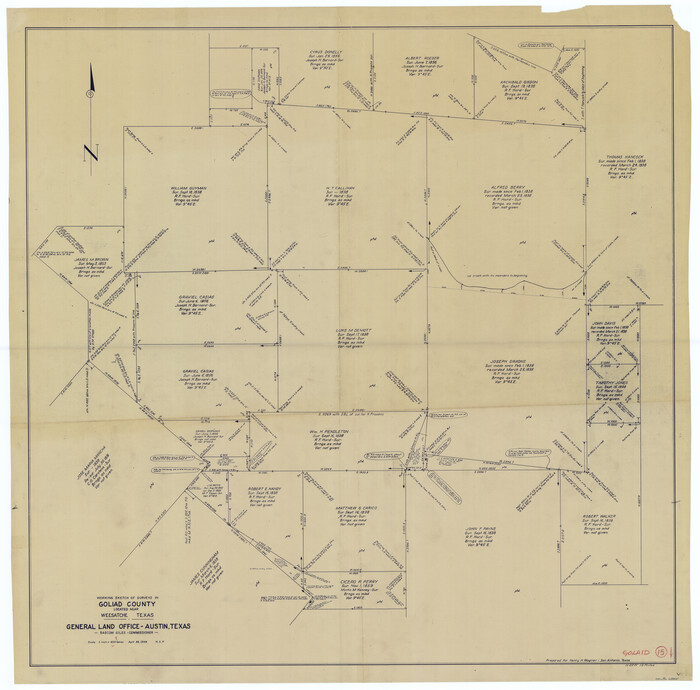

Print $20.00
- Digital $50.00
Goliad County Working Sketch 15
1948
Size 42.9 x 43.6 inches
Map/Doc 63205
Reagan County Working Sketch 3
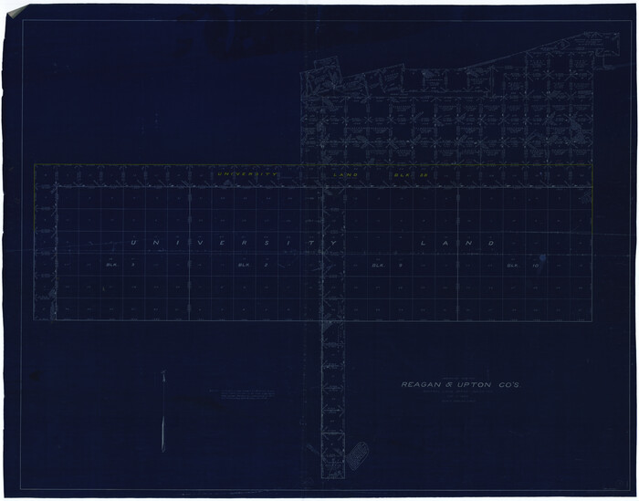

Print $40.00
- Digital $50.00
Reagan County Working Sketch 3
1923
Size 42.6 x 54.3 inches
Map/Doc 71843
Map of Jefferson as owned by Allen Urquhart
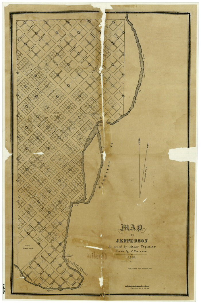

Print $20.00
- Digital $50.00
Map of Jefferson as owned by Allen Urquhart
1850
Size 25.1 x 16.6 inches
Map/Doc 1684
Current Miscellaneous File 63


Print $6.00
- Digital $50.00
Current Miscellaneous File 63
1957
Size 14.1 x 8.8 inches
Map/Doc 74100
![96623, [Map of Kentucky and Tennessee], Cobb Digital Map Collection](https://historictexasmaps.com/wmedia_w1800h1800/maps/96623.tif.jpg)

![[San Benito Promotional Booklet]](https://historictexasmaps.com/wmedia_w700/pdf_converted_jpg/qi_pdf_thumbnail_64211.jpg)
