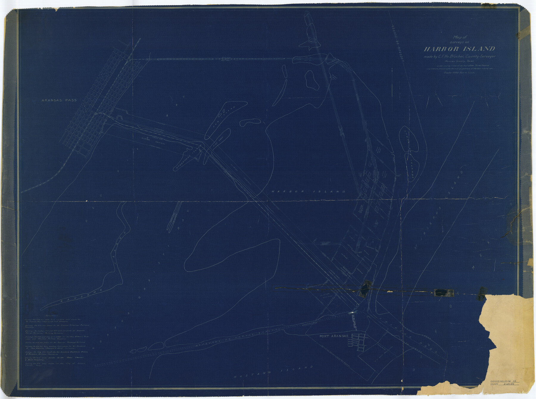
Nueces County Rolled Sketch 12
Map of surveys on Harbor Island
-
Map/Doc
9587
-
Collection
General Map Collection
-
Object Dates
1913/3/17 (File Date)
-
People and Organizations
C.F.H. von Blucher (Surveyor/Engineer)
-
Counties
Nueces
-
Subjects
Surveying Rolled Sketch
-
Height x Width
40.3 x 54.1 inches
102.4 x 137.4 cm
-
Medium
blueprint/diazo
-
Scale
1" = 1000 feet
Part of: General Map Collection
Brazoria County Sketch File 52

Print $6.00
- Digital $50.00
Brazoria County Sketch File 52
Size 14.5 x 8.0 inches
Map/Doc 15313
Brazos Santiago

Print $20.00
- Digital $50.00
Brazos Santiago
1884
Size 24.4 x 18.2 inches
Map/Doc 73030
Flight Mission No. DQN-1K, Frame 152, Calhoun County

Print $20.00
- Digital $50.00
Flight Mission No. DQN-1K, Frame 152, Calhoun County
1953
Size 18.6 x 22.3 inches
Map/Doc 84211
Cass County Working Sketch 23

Print $40.00
- Digital $50.00
Cass County Working Sketch 23
1966
Size 56.8 x 37.1 inches
Map/Doc 67926
Terrell County Rolled Sketch 31

Print $20.00
- Digital $50.00
Terrell County Rolled Sketch 31
1931
Size 24.4 x 28.4 inches
Map/Doc 7937
Crockett County Rolled Sketch S

Print $20.00
- Digital $50.00
Crockett County Rolled Sketch S
Size 8.3 x 21.2 inches
Map/Doc 5639
Callahan County Sketch File 6

Print $42.00
- Digital $50.00
Callahan County Sketch File 6
1858
Size 8.2 x 6.4 inches
Map/Doc 35859
Brewster County Working Sketch 57

Print $20.00
- Digital $50.00
Brewster County Working Sketch 57
1954
Size 19.6 x 20.8 inches
Map/Doc 67658
Shaw Farm, State Prison Farm, Bowie County

Print $20.00
- Digital $50.00
Shaw Farm, State Prison Farm, Bowie County
Size 15.7 x 17.2 inches
Map/Doc 82854
Mitchell County Working Sketch 8

Print $20.00
- Digital $50.00
Mitchell County Working Sketch 8
1975
Size 31.9 x 26.3 inches
Map/Doc 71065
Presidio County Sketch File P

Print $8.00
- Digital $50.00
Presidio County Sketch File P
1916
Size 14.4 x 8.8 inches
Map/Doc 34552
Plat of a survey of the North part of section 16, Block 362, Martha McBride, Presidio County, Texas

Print $20.00
- Digital $50.00
Plat of a survey of the North part of section 16, Block 362, Martha McBride, Presidio County, Texas
1989
Size 24.3 x 36.1 inches
Map/Doc 60523
You may also like
Flight Mission No. BRA-7M, Frame 84, Jefferson County

Print $20.00
- Digital $50.00
Flight Mission No. BRA-7M, Frame 84, Jefferson County
1953
Size 18.6 x 22.3 inches
Map/Doc 85506
Borden County Boundary File 4

Print $66.00
- Digital $50.00
Borden County Boundary File 4
1908
Size 23.7 x 125.7 inches
Map/Doc 1694
Mrs. Don D. Kinnebrew Farm Section 72, Block A

Print $20.00
- Digital $50.00
Mrs. Don D. Kinnebrew Farm Section 72, Block A
Size 15.6 x 18.0 inches
Map/Doc 92290
United States - Gulf Coast - From Latitude 26° 33' to the Rio Grande Texas

Print $20.00
- Digital $50.00
United States - Gulf Coast - From Latitude 26° 33' to the Rio Grande Texas
1918
Size 27.6 x 18.1 inches
Map/Doc 72849
Colton's United States shewing the military stations, forts, &c

Print $20.00
Colton's United States shewing the military stations, forts, &c
1861
Size 14.6 x 17.3 inches
Map/Doc 93565
Newton County Sketch File 6

Print $4.00
- Digital $50.00
Newton County Sketch File 6
1872
Size 12.4 x 7.9 inches
Map/Doc 32372
Bowie County Sketch File 10

Print $8.00
- Digital $50.00
Bowie County Sketch File 10
1992
Size 11.1 x 8.8 inches
Map/Doc 14912
Upton County Rolled Sketch 20

Print $40.00
- Digital $50.00
Upton County Rolled Sketch 20
1933
Size 53.0 x 36.8 inches
Map/Doc 10041
Pecos County Sketch

Print $20.00
- Digital $50.00
Pecos County Sketch
Size 34.2 x 23.2 inches
Map/Doc 92915
Map of Nolan County

Print $20.00
- Digital $50.00
Map of Nolan County
1902
Size 45.9 x 38.4 inches
Map/Doc 16780
The Great Texas Route via the Beautiful Indian Territory / The Great Kansas Route via the Picturesque Valley of the Neosho

Print $20.00
- Digital $50.00
The Great Texas Route via the Beautiful Indian Territory / The Great Kansas Route via the Picturesque Valley of the Neosho
1876
Size 12.1 x 17.4 inches
Map/Doc 95804
Gulf Coast of the United States, Key West to Rio Grande

Print $40.00
Gulf Coast of the United States, Key West to Rio Grande
1863
Size 30.2 x 53.5 inches
Map/Doc 79335