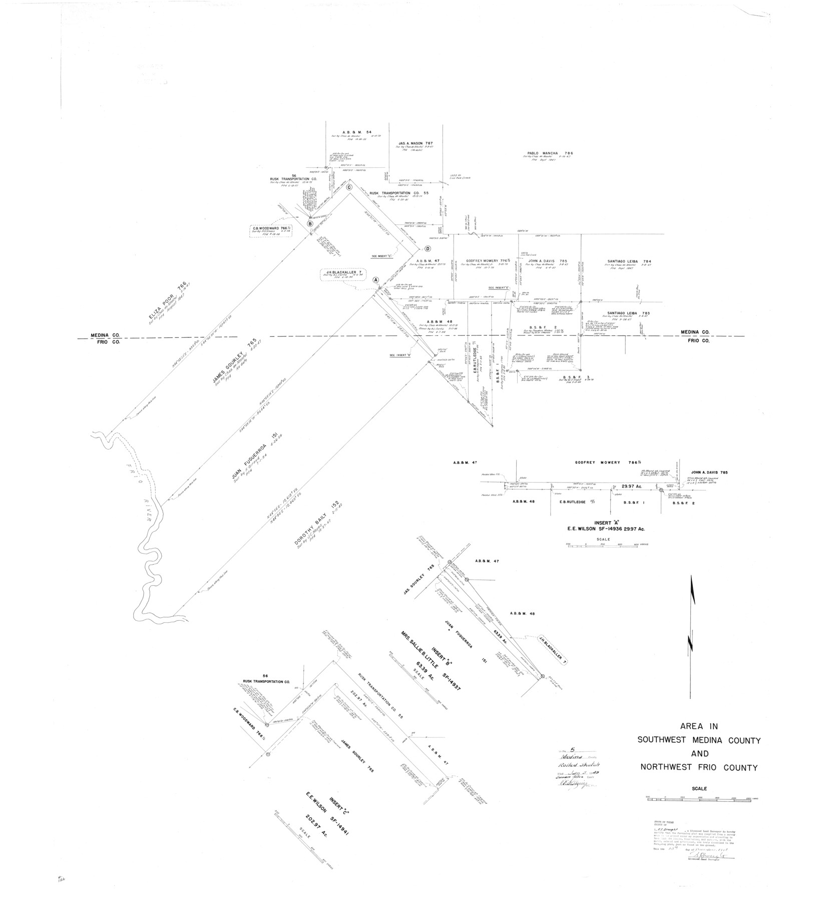
Medina County Rolled Sketch 5
Area in southwest Medina County and northwest Frio County
-
Map/Doc
9505
-
Collection
General Map Collection
-
Object Dates
1948/12/13 (Creation Date)
1949/1/5 (File Date)
-
People and Organizations
F.T. Drought (Surveyor/Engineer)
-
Counties
Medina Frio
-
Subjects
Surveying Rolled Sketch
-
Height x Width
52.0 x 47.1 inches
132.1 x 119.6 cm
Part of: General Map Collection
San Saba County Sketch File 7a

Print $6.00
- Digital $50.00
San Saba County Sketch File 7a
1883
Size 16.4 x 10.5 inches
Map/Doc 36428
[Cotton Belt] St. Louis Southwestern Railway of Texas, Alignment through Smith County
![64373, [Cotton Belt] St. Louis Southwestern Railway of Texas, Alignment through Smith County, General Map Collection](https://historictexasmaps.com/wmedia_w700/maps/64373.tif.jpg)
Print $20.00
- Digital $50.00
[Cotton Belt] St. Louis Southwestern Railway of Texas, Alignment through Smith County
1903
Size 21.4 x 28.4 inches
Map/Doc 64373
Presidio County Rolled Sketch 65

Print $20.00
- Digital $50.00
Presidio County Rolled Sketch 65
Size 23.1 x 28.3 inches
Map/Doc 7356
PSL Field Notes for Blocks 58, 59, 60 1/2, 61 1/2, 62 1/2, 63 1/2, 64 1/2, 65 1/2, 66 1/2, 67 1/2, 68 1/2, 69 1/2, 70, 71, and 72 in Hudspeth County

PSL Field Notes for Blocks 58, 59, 60 1/2, 61 1/2, 62 1/2, 63 1/2, 64 1/2, 65 1/2, 66 1/2, 67 1/2, 68 1/2, 69 1/2, 70, 71, and 72 in Hudspeth County
Map/Doc 81662
Edwards County Rolled Sketch 19

Print $20.00
- Digital $50.00
Edwards County Rolled Sketch 19
1947
Size 21.3 x 24.0 inches
Map/Doc 5808
Controlled Mosaic by Jack Amman Photogrammetric Engineers, Inc - Sheet 4

Print $20.00
- Digital $50.00
Controlled Mosaic by Jack Amman Photogrammetric Engineers, Inc - Sheet 4
1954
Size 20.0 x 24.0 inches
Map/Doc 83448
Bosque County Rolled Sketch 3

Print $20.00
- Digital $50.00
Bosque County Rolled Sketch 3
Size 24.6 x 19.1 inches
Map/Doc 89015
Stonewall County Sketch File 16

Print $16.00
- Digital $50.00
Stonewall County Sketch File 16
1902
Size 12.8 x 8.3 inches
Map/Doc 37266
Williamson County Sketch File 13

Print $5.00
- Digital $50.00
Williamson County Sketch File 13
Size 9.3 x 14.3 inches
Map/Doc 40328

Jack County Sketch File 2

Print $6.00
- Digital $50.00
Jack County Sketch File 2
1856
Size 8.8 x 8.0 inches
Map/Doc 27501
Loving County Working Sketch 18

Print $40.00
- Digital $50.00
Loving County Working Sketch 18
1978
Size 65.2 x 43.2 inches
Map/Doc 70652
You may also like
Newton County Working Sketch 15

Print $20.00
- Digital $50.00
Newton County Working Sketch 15
1949
Size 23.4 x 33.9 inches
Map/Doc 71261
Navasota River, Springfield Sheet

Print $20.00
- Digital $50.00
Navasota River, Springfield Sheet
1934
Size 41.5 x 37.8 inches
Map/Doc 65074
Van Zandt County Sketch File 19

Print $4.00
- Digital $50.00
Van Zandt County Sketch File 19
1858
Size 9.7 x 7.7 inches
Map/Doc 39422
Flight Mission No. DAG-21K, Frame 118, Matagorda County

Print $20.00
- Digital $50.00
Flight Mission No. DAG-21K, Frame 118, Matagorda County
1952
Size 17.5 x 16.1 inches
Map/Doc 86442
Flight Mission No. DIX-10P, Frame 146, Aransas County

Print $20.00
- Digital $50.00
Flight Mission No. DIX-10P, Frame 146, Aransas County
1956
Size 18.6 x 22.4 inches
Map/Doc 83948
Jim Wells County Working Sketch 15

Print $20.00
- Digital $50.00
Jim Wells County Working Sketch 15
1982
Size 29.1 x 27.2 inches
Map/Doc 66613
Jackson County Rolled Sketch 14

Print $20.00
- Digital $50.00
Jackson County Rolled Sketch 14
1978
Size 28.3 x 37.0 inches
Map/Doc 6345
[Sketch showing School Lands]
![90448, [Sketch showing School Lands], Twichell Survey Records](https://historictexasmaps.com/wmedia_w700/maps/90448-1.tif.jpg)
Print $20.00
- Digital $50.00
[Sketch showing School Lands]
Size 16.3 x 12.2 inches
Map/Doc 90448
Moore County Sketch File 5

Print $22.00
- Digital $50.00
Moore County Sketch File 5
Size 9.0 x 12.6 inches
Map/Doc 31937
Map of Palo Pinto County, east of the Brazos River, Robertson - west of it, Milam Land District

Print $20.00
- Digital $50.00
Map of Palo Pinto County, east of the Brazos River, Robertson - west of it, Milam Land District
1859
Size 27.4 x 22.3 inches
Map/Doc 3935
Edwards County Working Sketch 129

Print $20.00
- Digital $50.00
Edwards County Working Sketch 129
1981
Size 33.6 x 41.3 inches
Map/Doc 69005
Oldham County Rolled Sketch Z

Print $20.00
- Digital $50.00
Oldham County Rolled Sketch Z
Size 26.1 x 28.7 inches
Map/Doc 7178