Atlas B, 1-137, Burnet's Colony
[Volume 1 of 2]
-
Map/Doc
94537
-
Collection
Historical Volumes
-
People and Organizations
Arthur Henrie (Surveyor/Engineer)
David Brown (Surveyor/Engineer)
John A. Veitch (Surveyor/Engineer)
-
Subjects
Bound Volume Colony Mexican Texas
-
Height x Width
13.2 x 18.1 inches
33.5 x 46.0 cm
-
Medium
paper, bound volume
-
Comments
Plat book of surveys in Burnet's colony, part one of two. See 94538 for volume two.
Related maps
Part of: Historical Volumes
English Field Notes of the Spanish Archives - Book 7


English Field Notes of the Spanish Archives - Book 7
1835
Map/Doc 96533
English Field Notes of the Spanish Archives - Books SAS, DB4, GWS, JWB, and JWB3


English Field Notes of the Spanish Archives - Books SAS, DB4, GWS, JWB, and JWB3
1835
Map/Doc 96551
Minutes of the Ayuntamiento of San Felipe de Austin Vol. 2


Minutes of the Ayuntamiento of San Felipe de Austin Vol. 2
Size 13.3 x 10.5 inches
Map/Doc 94261
English Field Notes of the Spanish Archives - Book A-B


English Field Notes of the Spanish Archives - Book A-B
1835
Map/Doc 96540
Record of Spanish Titles, Vol. II


Record of Spanish Titles, Vol. II
Size 19.2 x 12.8 inches
Map/Doc 94527
Translations of Titles - Austin's Second Contract, Vol. 2


Translations of Titles - Austin's Second Contract, Vol. 2
1841
Map/Doc 94547
English Field Notes of the Spanish Archives - Book 2


English Field Notes of the Spanish Archives - Book 2
1835
Map/Doc 96528
English Field Notes of the Spanish Archives - Books J.S.2, 3, and 4
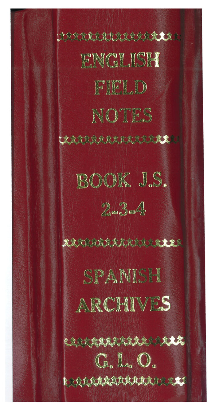

English Field Notes of the Spanish Archives - Books J.S.2, 3, and 4
1835
Map/Doc 96550
English Field Notes of the Spanish Archives - Book S


English Field Notes of the Spanish Archives - Book S
1835
Map/Doc 96543
English Field Notes of the Spanish Archives - Books GMP, FH, SCH, and JAV


English Field Notes of the Spanish Archives - Books GMP, FH, SCH, and JAV
1835
Map/Doc 96545
You may also like
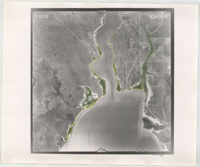
Flight Mission No. DQN-2K, Frame 97, Calhoun County

Print $20.00
- Digital $50.00
Flight Mission No. DQN-2K, Frame 97, Calhoun County
1953
Size 18.7 x 22.4 inches
Map/Doc 84287
Upton County Rolled Sketch 56

Print $158.00
- Digital $50.00
Upton County Rolled Sketch 56
1934
Size 10.0 x 15.1 inches
Map/Doc 49413
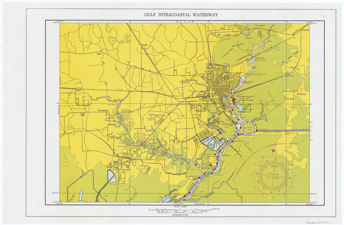
Maps of Gulf Intracoastal Waterway, Texas - Sabine River to the Rio Grande and connecting waterways including ship channels

Print $20.00
- Digital $50.00
Maps of Gulf Intracoastal Waterway, Texas - Sabine River to the Rio Grande and connecting waterways including ship channels
1966
Size 14.5 x 22.2 inches
Map/Doc 61922
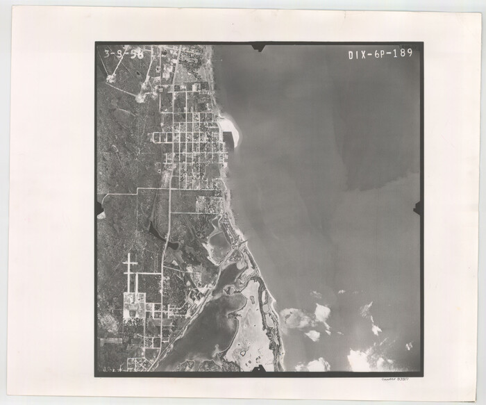
Flight Mission No. DIX-6P, Frame 189, Aransas County

Print $20.00
- Digital $50.00
Flight Mission No. DIX-6P, Frame 189, Aransas County
1956
Size 19.1 x 22.8 inches
Map/Doc 83851
Pecos County Working Sketch 79


Print $20.00
- Digital $50.00
Pecos County Working Sketch 79
1960
Size 22.6 x 24.3 inches
Map/Doc 71551
Mitchell County, Texas

Print $20.00
- Digital $50.00
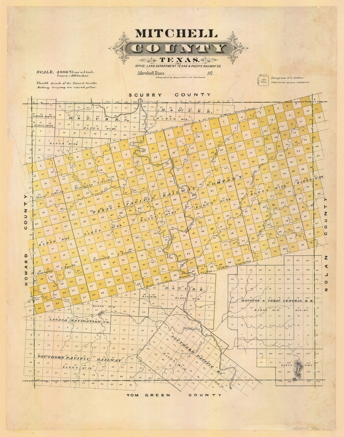
Mitchell County, Texas
1870
Size 22.7 x 18.0 inches
Map/Doc 741
Travis County Sketch File 39

Print $20.00
- Digital $50.00
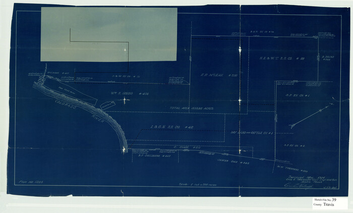
Travis County Sketch File 39
1914
Size 15.5 x 25.7 inches
Map/Doc 12463
Webb County Working Sketch 32

Print $20.00
- Digital $50.00
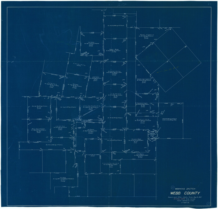
Webb County Working Sketch 32
1937
Size 34.5 x 36.0 inches
Map/Doc 72397
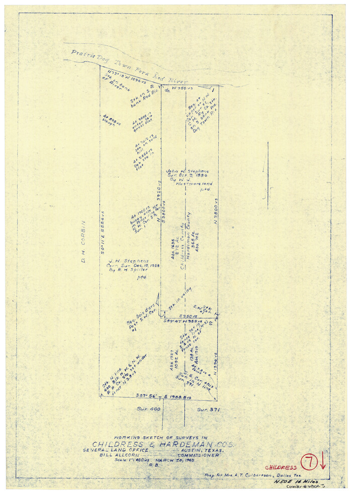
Childress County Working Sketch 7

Print $20.00
- Digital $50.00
Childress County Working Sketch 7
1960
Size 20.7 x 14.8 inches
Map/Doc 68023
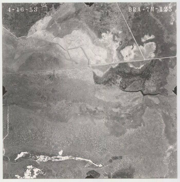
Flight Mission No. BRA-7M, Frame 125, Jefferson County

Print $20.00
- Digital $50.00
Flight Mission No. BRA-7M, Frame 125, Jefferson County
1953
Size 16.3 x 16.1 inches
Map/Doc 85519
Johnson County Boundary File 51


Print $66.00
- Digital $50.00
Johnson County Boundary File 51
Size 8.5 x 4.2 inches
Map/Doc 55589
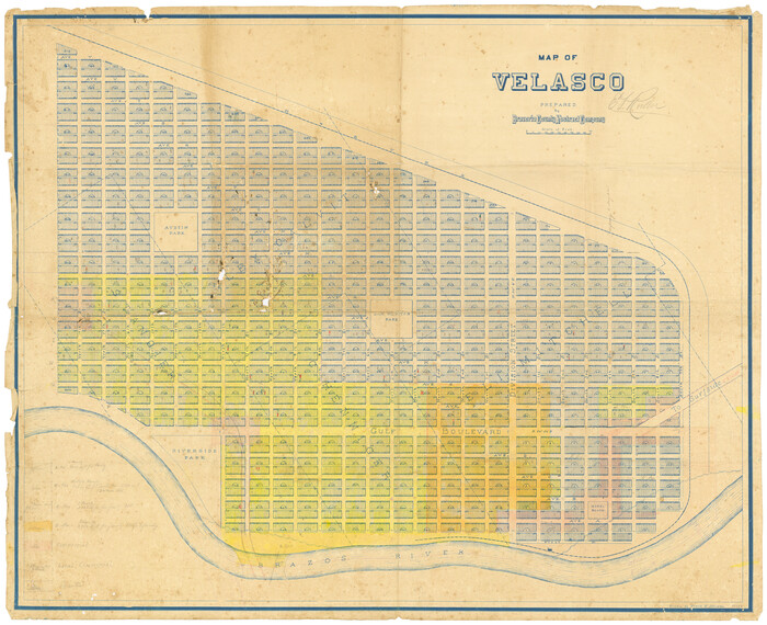
Map of Velasco

Print $20.00
- Digital $50.00
Map of Velasco
1906
Size 32.1 x 39.4 inches
Map/Doc 95357


