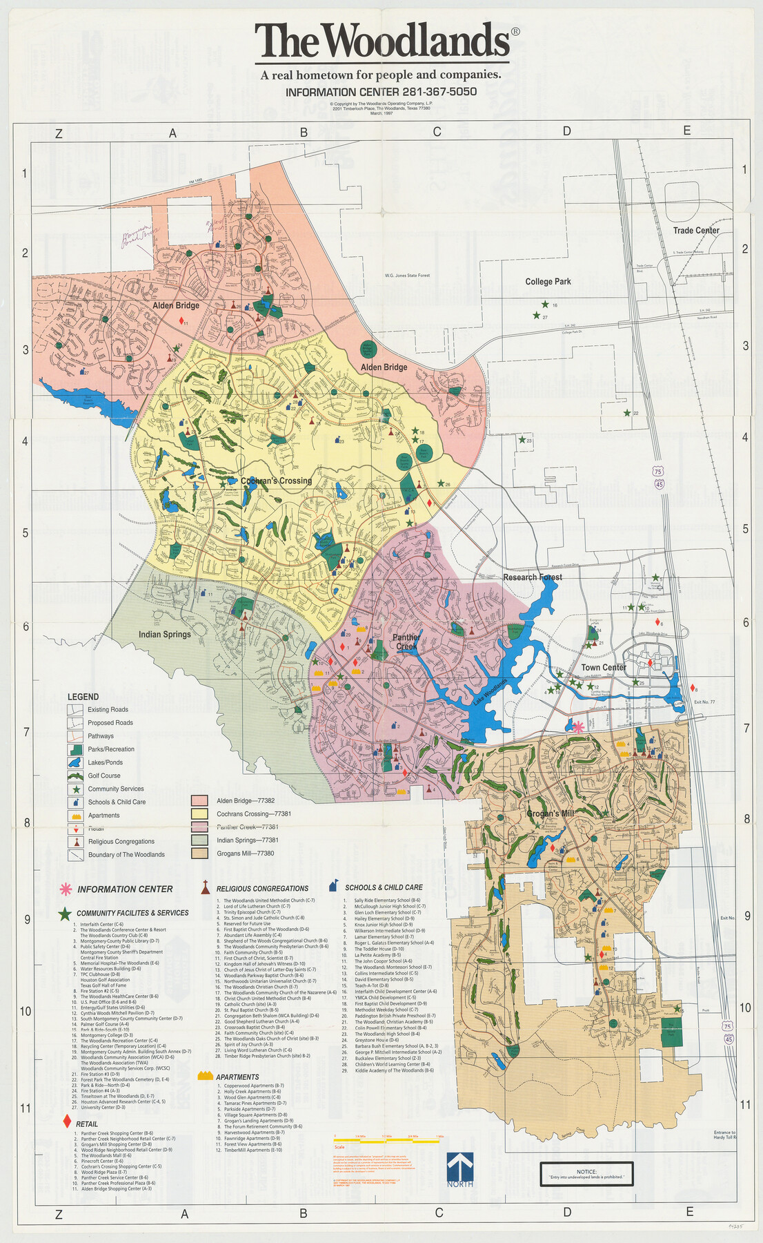
Interfaith's Official Map: The Woodlands, a real hometown for people and companies
[Recto]
-
Map/Doc
94285
-
Collection
General Map Collection
-
Object Dates
1997/3/20 (Creation Date)
-
People and Organizations
The Woodlands Operating Company, L.P. (Publisher)
Mark Lambert (Donor)
-
Counties
Harris
-
Subjects
City
-
Height x Width
36.7 x 22.5 inches
93.2 x 57.2 cm
-
Medium
paper, etching/engraving/lithograph
-
Comments
Donated by Mark Lambert. For directory and advertising on verso, see 94286. For reseach purposes only.
Related maps
Interfaith's Official Map: The Woodlands, a real hometown for people and companies

Interfaith's Official Map: The Woodlands, a real hometown for people and companies
1997
Size 22.4 x 36.5 inches
Map/Doc 94286
Part of: General Map Collection
The Coast of Texas

Print $20.00
- Digital $50.00
The Coast of Texas
1844
Size 18.3 x 26.9 inches
Map/Doc 72698
Tarrant County Working Sketch 8

Print $20.00
- Digital $50.00
Tarrant County Working Sketch 8
1982
Size 33.2 x 19.7 inches
Map/Doc 62425
Gregg County Boundary File 6

Print $6.00
- Digital $50.00
Gregg County Boundary File 6
Size 8.5 x 5.8 inches
Map/Doc 54001
Morris County Rolled Sketch 2A

Print $20.00
- Digital $50.00
Morris County Rolled Sketch 2A
Size 24.4 x 19.4 inches
Map/Doc 10245
Flight Mission No. DAG-24K, Frame 159, Matagorda County

Print $20.00
- Digital $50.00
Flight Mission No. DAG-24K, Frame 159, Matagorda County
1953
Size 17.2 x 19.1 inches
Map/Doc 86573
Map of Leon County

Print $20.00
- Digital $50.00
Map of Leon County
1873
Size 26.2 x 21.9 inches
Map/Doc 3807
Falls County Sketch File 20

Print $12.00
- Digital $50.00
Falls County Sketch File 20
1869
Size 10.0 x 8.3 inches
Map/Doc 22388
Flight Mission No. DCL-6C, Frame 77, Kenedy County

Print $20.00
- Digital $50.00
Flight Mission No. DCL-6C, Frame 77, Kenedy County
1943
Size 18.5 x 22.3 inches
Map/Doc 85919
Flight Mission No. CRC-3R, Frame 96, Chambers County

Print $20.00
- Digital $50.00
Flight Mission No. CRC-3R, Frame 96, Chambers County
1956
Size 18.7 x 22.4 inches
Map/Doc 84834
Runnels County Rolled Sketch 35

Print $20.00
- Digital $50.00
Runnels County Rolled Sketch 35
1950
Size 34.1 x 44.6 inches
Map/Doc 7523
Flight Mission No. CRE-2R, Frame 81, Jackson County

Print $20.00
- Digital $50.00
Flight Mission No. CRE-2R, Frame 81, Jackson County
1956
Size 18.6 x 22.2 inches
Map/Doc 85353
Somervell County Working Sketch 3

Print $20.00
- Digital $50.00
Somervell County Working Sketch 3
1968
Size 23.0 x 30.4 inches
Map/Doc 63907
You may also like


Gaines County Sketch File 11

Print $6.00
- Digital $50.00
Gaines County Sketch File 11
1943
Size 7.3 x 8.9 inches
Map/Doc 23195
Brazoria County Working Sketch 27

Print $20.00
- Digital $50.00
Brazoria County Working Sketch 27
1970
Size 41.8 x 32.5 inches
Map/Doc 67512
The Texas Coast Country and What It Holds for You

The Texas Coast Country and What It Holds for You
1909
Size 6.4 x 3.7 inches
Map/Doc 97054
Pecos County Rolled Sketch 29

Print $40.00
- Digital $50.00
Pecos County Rolled Sketch 29
1890
Size 27.3 x 49.9 inches
Map/Doc 9690
Glasscock County Sketch File 9

Print $4.00
- Digital $50.00
Glasscock County Sketch File 9
1934
Size 11.3 x 8.8 inches
Map/Doc 24170
Limestone County Sketch File B

Print $8.00
- Digital $50.00
Limestone County Sketch File B
1878
Size 8.2 x 7.3 inches
Map/Doc 30151
Johnson County Sketch File 15

Print $2.00
- Digital $50.00
Johnson County Sketch File 15
1881
Size 8.1 x 7.3 inches
Map/Doc 28455
Hudspeth County Working Sketch 38

Print $20.00
- Digital $50.00
Hudspeth County Working Sketch 38
1978
Size 31.8 x 36.9 inches
Map/Doc 66323
Flight Mission No. DQO-1K, Frame 148, Galveston County

Print $20.00
- Digital $50.00
Flight Mission No. DQO-1K, Frame 148, Galveston County
1952
Size 18.8 x 22.5 inches
Map/Doc 85001
Live Oak County Sketch File 4

Print $20.00
- Digital $50.00
Live Oak County Sketch File 4
1858
Size 16.3 x 19.2 inches
Map/Doc 12006