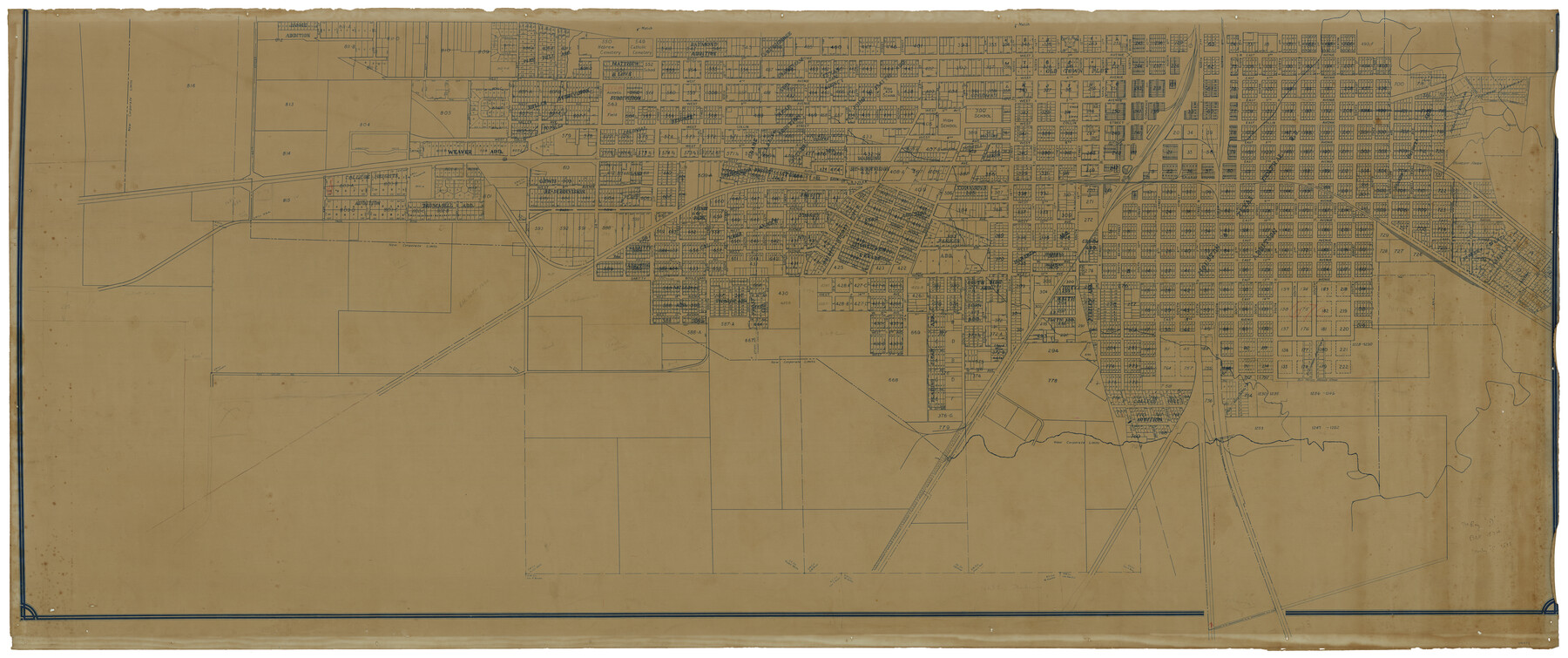
Map of the City of Corsicana (Navarro County) Texas
North half
-
Map/Doc
93675
-
Collection
General Map Collection
-
Object Dates
1963 (Creation Date)
2014/4/8 (File Date)
-
People and Organizations
[F.V. Blucher] (Surveyor/Engineer)
[F.V. Blucher] (Compiler)
-
Counties
Navarro
-
Subjects
City
-
Height x Width
36.7 x 87.5 inches
93.2 x 222.3 cm
-
Comments
Reflects revisions through December 1963. See map number 93674 for south half of this map.
Part of: General Map Collection
Dickens County Sketch File 2b

Print $14.00
- Digital $50.00
Dickens County Sketch File 2b
Size 8.8 x 13.4 inches
Map/Doc 20952
Grayson County Sketch File 19

Print $7.00
- Digital $50.00
Grayson County Sketch File 19
1860
Size 12.1 x 7.7 inches
Map/Doc 24490
Taylor County Working Sketch 7

Print $20.00
- Digital $50.00
Taylor County Working Sketch 7
1953
Size 41.3 x 16.1 inches
Map/Doc 69617
Hardeman County Boundary File 4

Print $142.00
- Digital $50.00
Hardeman County Boundary File 4
Size 24.0 x 18.2 inches
Map/Doc 54392
Map of Somervell County

Print $20.00
- Digital $50.00
Map of Somervell County
1875
Size 21.0 x 22.0 inches
Map/Doc 4043
1968 Texas Official State Highway Map

Digital $50.00
1968 Texas Official State Highway Map
Size 28.2 x 36.3 inches
Map/Doc 94320
Harrison County Working Sketch 30

Print $20.00
- Digital $50.00
Harrison County Working Sketch 30
2001
Size 29.5 x 31.9 inches
Map/Doc 66050
Colonization and Trade in the New World

Colonization and Trade in the New World
1977
Size 23.1 x 30.3 inches
Map/Doc 96835
Sutton County Sketch File 49

Print $6.00
- Digital $50.00
Sutton County Sketch File 49
Size 13.6 x 8.9 inches
Map/Doc 37523
Galveston County Aerial Photograph Index Sheet 1

Print $20.00
- Digital $50.00
Galveston County Aerial Photograph Index Sheet 1
1953
Size 23.4 x 19.2 inches
Map/Doc 83692
Chambers County Working Sketch 19

Print $20.00
- Digital $50.00
Chambers County Working Sketch 19
1965
Size 23.5 x 25.8 inches
Map/Doc 68002
Hudspeth County Working Sketch 41

Print $20.00
- Digital $50.00
Hudspeth County Working Sketch 41
1981
Size 18.3 x 37.1 inches
Map/Doc 66326
You may also like

Texas State Boundary Line 3

Print $90.00
- Digital $50.00
Texas State Boundary Line 3
Size 10.9 x 8.2 inches
Map/Doc 74904
Crane County Rolled Sketch REE

Print $40.00
- Digital $50.00
Crane County Rolled Sketch REE
1936
Size 50.6 x 34.1 inches
Map/Doc 8681
Navigation Maps of Gulf Intracoastal Waterway, Port Arthur to Brownsville, Texas

Print $4.00
- Digital $50.00
Navigation Maps of Gulf Intracoastal Waterway, Port Arthur to Brownsville, Texas
1951
Size 16.6 x 21.2 inches
Map/Doc 65445
Travis County Appraisal District Plat Map 2_0905

Print $20.00
- Digital $50.00
Travis County Appraisal District Plat Map 2_0905
Size 21.4 x 26.4 inches
Map/Doc 94232
Austin Street Map & Guide

Digital $50.00
Austin Street Map & Guide
Size 35.4 x 23.1 inches
Map/Doc 94435

Amistad International Reservoir on Rio Grande 100

Print $20.00
- Digital $50.00
Amistad International Reservoir on Rio Grande 100
1950
Size 28.5 x 40.8 inches
Map/Doc 75531
San Augustine County Working Sketch 24

Print $20.00
- Digital $50.00
San Augustine County Working Sketch 24
1975
Size 27.8 x 39.1 inches
Map/Doc 63712
General Highway Map, Dallam County, Texas

Print $20.00
General Highway Map, Dallam County, Texas
1961
Size 24.6 x 18.3 inches
Map/Doc 79428
Montgomery County Working Sketch 55

Print $20.00
- Digital $50.00
Montgomery County Working Sketch 55
1961
Size 23.8 x 34.6 inches
Map/Doc 71162
Flight Mission No. DAG-24K, Frame 159, Matagorda County

Print $20.00
- Digital $50.00
Flight Mission No. DAG-24K, Frame 159, Matagorda County
1953
Size 17.2 x 19.1 inches
Map/Doc 86573