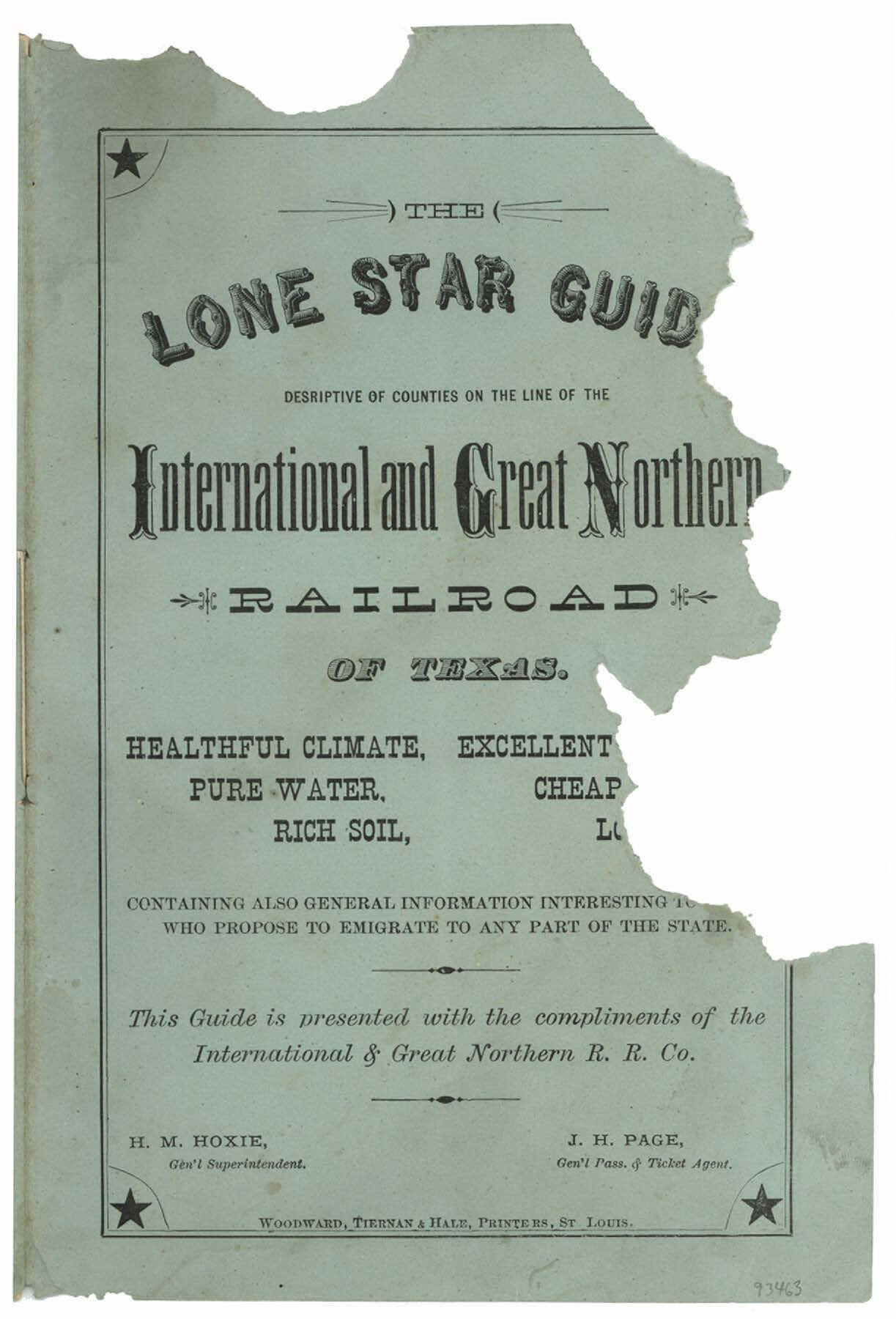
International and Great Northern Railroad Lone Star Route and Connections
-
Map/Doc
93463
-
Collection
General Map Collection
-
Object Dates
1877 (Creation Date)
2013 (File Date)
-
People and Organizations
International and Great Northern RR. Co. (Publisher)
Woodward, Tiernan and Hale (Printer)
-
Subjects
Railroads State of Texas
-
Comments
See 93463 for accompanying booklet and 93632 for station and timetable data on reverse.
Part of: General Map Collection
Scurry County Rolled Sketch 5

Print $40.00
- Digital $50.00
Scurry County Rolled Sketch 5
Size 48.4 x 41.1 inches
Map/Doc 9913
Winkler County Rolled Sketch 16

Print $20.00
- Digital $50.00
Winkler County Rolled Sketch 16
1927
Size 22.5 x 32.6 inches
Map/Doc 8276
Tyler County Working Sketch 1

Print $20.00
- Digital $50.00
Tyler County Working Sketch 1
Size 19.0 x 15.0 inches
Map/Doc 69471
Flight Mission No. BRE-2P, Frame 68, Nueces County

Print $20.00
- Digital $50.00
Flight Mission No. BRE-2P, Frame 68, Nueces County
1956
Size 18.6 x 22.4 inches
Map/Doc 86763
Starr County Sketch File 10

Print $40.00
- Digital $50.00
Starr County Sketch File 10
Size 12.6 x 15.0 inches
Map/Doc 36863
Harris County Sketch File 70

Print $12.00
- Digital $50.00
Harris County Sketch File 70
1938
Size 11.3 x 8.8 inches
Map/Doc 25518
Jones County Sketch File 5

Print $4.00
- Digital $50.00
Jones County Sketch File 5
1859
Size 10.0 x 8.1 inches
Map/Doc 28492
Collingsworth County Working Sketch 5
Print $20.00
- Digital $50.00
Collingsworth County Working Sketch 5
1973
Size 22.5 x 38.2 inches
Map/Doc 68093
[St. L. S-W. Ry. of Texas Map of Lufkin Branch in Cherokee County Texas]
![64018, [St. L. S-W. Ry. of Texas Map of Lufkin Branch in Cherokee County Texas], General Map Collection](https://historictexasmaps.com/wmedia_w700/maps/64018.tif.jpg)
Print $40.00
- Digital $50.00
[St. L. S-W. Ry. of Texas Map of Lufkin Branch in Cherokee County Texas]
1912
Size 22.3 x 121.1 inches
Map/Doc 64018
Cottle County Boundary File 1

Print $22.00
- Digital $50.00
Cottle County Boundary File 1
Size 8.8 x 3.8 inches
Map/Doc 51944
Runnels County Sketch File 41

Print $20.00
Runnels County Sketch File 41
1892
Size 22.8 x 25.7 inches
Map/Doc 12271
Uvalde County Working Sketch 35

Print $6.00
- Digital $50.00
Uvalde County Working Sketch 35
Size 30.3 x 30.2 inches
Map/Doc 72105
You may also like

Brazoria County Rolled Sketch 51

Print $20.00
- Digital $50.00
Brazoria County Rolled Sketch 51
2007
Size 34.8 x 46.8 inches
Map/Doc 87377
Knox County Working Sketch 4

Print $20.00
- Digital $50.00
Knox County Working Sketch 4
1919
Size 18.0 x 25.6 inches
Map/Doc 70246
Van Zandt County Sketch File 28

Print $4.00
- Digital $50.00
Van Zandt County Sketch File 28
1859
Size 12.5 x 8.2 inches
Map/Doc 39451
Railroad Track Map, H&TCRRCo., Falls County, Texas

Print $4.00
- Digital $50.00
Railroad Track Map, H&TCRRCo., Falls County, Texas
1918
Size 11.7 x 18.5 inches
Map/Doc 62843
Navarro County Working Sketch 17

Print $20.00
- Digital $50.00
Navarro County Working Sketch 17
2008
Size 35.3 x 36.1 inches
Map/Doc 88812
Flight Mission No. CRK-7P, Frame 133, Refugio County

Print $20.00
- Digital $50.00
Flight Mission No. CRK-7P, Frame 133, Refugio County
1956
Size 18.3 x 22.1 inches
Map/Doc 86956
Culberson County Sketch File 11a

Print $4.00
- Digital $50.00
Culberson County Sketch File 11a
1926
Size 14.3 x 8.7 inches
Map/Doc 20172
Sutton County Working Sketch 26

Print $4.00
- Digital $50.00
Sutton County Working Sketch 26
Size 24.0 x 24.7 inches
Map/Doc 62369
Travis County Working Sketch Graphic Index - south part

Print $40.00
- Digital $50.00
Travis County Working Sketch Graphic Index - south part
1936
Size 42.6 x 52.8 inches
Map/Doc 76716
Dimmit County

Print $40.00
- Digital $50.00
Dimmit County
1976
Size 43.2 x 51.7 inches
Map/Doc 95483
Ward County Working Sketch 32

Print $40.00
- Digital $50.00
Ward County Working Sketch 32
Size 32.5 x 66.0 inches
Map/Doc 72338