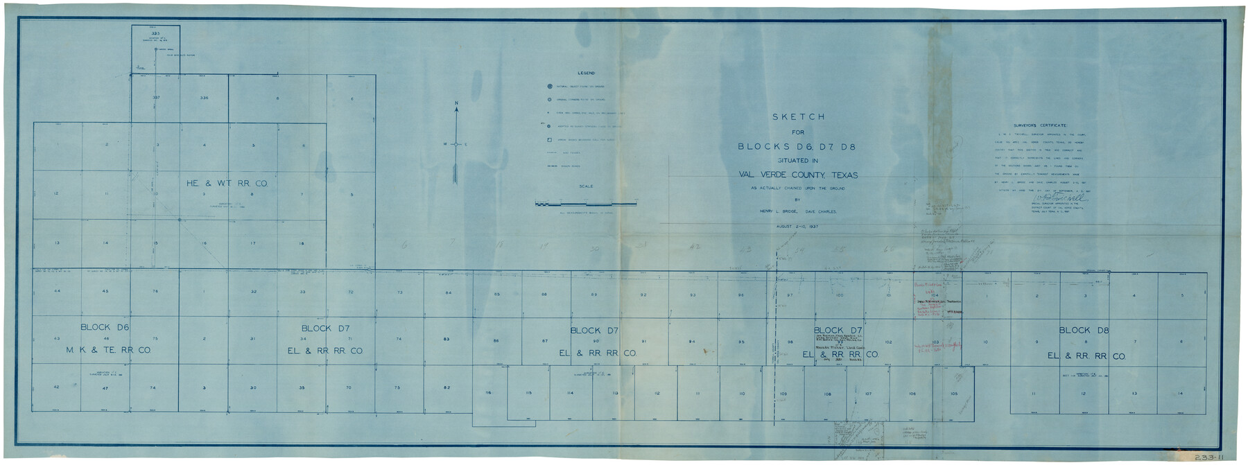
Sketch for Blocks D6, D7, D8 situated in Val Verde County, Texas
233-11
-
Map/Doc
93165
-
Collection
Twichell Survey Records
-
Object Dates
8/10/1937 (Creation Date)
-
People and Organizations
W.D. Twichell (Surveyor/Engineer)
-
Counties
Val Verde Terrell
-
Height x Width
98.2 x 37.5 inches
249.4 x 95.3 cm
Part of: Twichell Survey Records
Sketch in Gray County

Print $20.00
- Digital $50.00
Sketch in Gray County
1910
Size 15.1 x 18.5 inches
Map/Doc 90741
[Sketch showing Connecting Lines]
![91938, [Sketch showing Connecting Lines], Twichell Survey Records](https://historictexasmaps.com/wmedia_w700/maps/91938-1.tif.jpg)
Print $20.00
- Digital $50.00
[Sketch showing Connecting Lines]
Size 24.3 x 18.3 inches
Map/Doc 91938
G&H Blocks Gaines Co. Resurvey 1915

Print $40.00
- Digital $50.00
G&H Blocks Gaines Co. Resurvey 1915
1915
Size 56.8 x 31.3 inches
Map/Doc 89632
[Blocks G and H, and vicinity]
![92671, [Blocks G and H, and vicinity], Twichell Survey Records](https://historictexasmaps.com/wmedia_w700/maps/92671-1.tif.jpg)
Print $20.00
- Digital $50.00
[Blocks G and H, and vicinity]
1915
Size 18.4 x 12.4 inches
Map/Doc 92671
[Blocks 34-36, Township 2N]
![92027, [Blocks 34-36, Township 2N], Twichell Survey Records](https://historictexasmaps.com/wmedia_w700/maps/92027-1.tif.jpg)
Print $20.00
- Digital $50.00
[Blocks 34-36, Township 2N]
Size 36.8 x 24.2 inches
Map/Doc 92027
[Surveys Surrounding I. G. Yates S.F. 12394]
![91577, [Surveys Surrounding I. G. Yates S.F. 12394], Twichell Survey Records](https://historictexasmaps.com/wmedia_w700/maps/91577-1.tif.jpg)
Print $20.00
- Digital $50.00
[Surveys Surrounding I. G. Yates S.F. 12394]
Size 18.6 x 7.2 inches
Map/Doc 91577
[Unorganized County School Land Leagues 284 - 317]
![90856, [Unorganized County School Land Leagues 284 - 317], Twichell Survey Records](https://historictexasmaps.com/wmedia_w700/maps/90856-2.tif.jpg)
Print $20.00
- Digital $50.00
[Unorganized County School Land Leagues 284 - 317]
1902
Size 30.2 x 20.6 inches
Map/Doc 90856
[E. L. & R. R. RR. Co. Blocks 10 and 32, T. & P. R.R. Co. Blocks 30 and 31, Tsp 6N]
![90216, [E. L. & R. R. RR. Co. Blocks 10 and 32, T. & P. R.R. Co. Blocks 30 and 31, Tsp 6N], Twichell Survey Records](https://historictexasmaps.com/wmedia_w700/maps/90216-1.tif.jpg)
Print $20.00
- Digital $50.00
[E. L. & R. R. RR. Co. Blocks 10 and 32, T. & P. R.R. Co. Blocks 30 and 31, Tsp 6N]
Size 21.7 x 17.7 inches
Map/Doc 90216
Sketch in Crockett County [showing University Land Blocks 42 and 45 and Block A-B]
![90313, Sketch in Crockett County [showing University Land Blocks 42 and 45 and Block A-B], Twichell Survey Records](https://historictexasmaps.com/wmedia_w700/maps/90313-1.tif.jpg)
Print $20.00
- Digital $50.00
Sketch in Crockett County [showing University Land Blocks 42 and 45 and Block A-B]
1913
Size 24.6 x 11.9 inches
Map/Doc 90313
Green Memorial Park

Print $20.00
- Digital $50.00
Green Memorial Park
Size 41.4 x 20.9 inches
Map/Doc 92937
Map Showing Parallel 35°12' North Latitude from the 42nd Mile Post on the 100th Meridian to the Southeast Corner of Texas

Print $20.00
- Digital $50.00
Map Showing Parallel 35°12' North Latitude from the 42nd Mile Post on the 100th Meridian to the Southeast Corner of Texas
1890
Size 24.7 x 27.7 inches
Map/Doc 89840
[Blocks T2 and T3]
![90992, [Blocks T2 and T3], Twichell Survey Records](https://historictexasmaps.com/wmedia_w700/maps/90992-1.tif.jpg)
Print $20.00
- Digital $50.00
[Blocks T2 and T3]
Size 12.2 x 14.6 inches
Map/Doc 90992
You may also like

Duval County Rolled Sketch 11

Print $20.00
- Digital $50.00
Duval County Rolled Sketch 11
Size 20.4 x 30.1 inches
Map/Doc 5733
Reagan County Working Sketch 49

Print $20.00
- Digital $50.00
Reagan County Working Sketch 49
1990
Size 40.4 x 25.2 inches
Map/Doc 71892
Panola County, Texas

Print $20.00
- Digital $50.00
Panola County, Texas
1879
Size 18.0 x 19.4 inches
Map/Doc 654
Crockett County Sketch File 4a

Print $20.00
- Digital $50.00
Crockett County Sketch File 4a
Size 28.1 x 8.2 inches
Map/Doc 11215
General Highway Map, Polk County, Texas

Print $20.00
General Highway Map, Polk County, Texas
1961
Size 18.2 x 24.4 inches
Map/Doc 79629
Flight Mission No. CRC-3R, Frame 21, Chambers County

Print $20.00
- Digital $50.00
Flight Mission No. CRC-3R, Frame 21, Chambers County
1956
Size 18.6 x 22.2 inches
Map/Doc 84795
Terry County Sketch

Print $20.00
- Digital $50.00
Terry County Sketch
1954
Size 13.7 x 20.6 inches
Map/Doc 92413
Louisiana and Texas Intracoastal Waterway

Print $20.00
- Digital $50.00
Louisiana and Texas Intracoastal Waterway
1929
Size 13.8 x 19.9 inches
Map/Doc 83341
Glasscock County Rolled Sketch 2

Print $20.00
- Digital $50.00
Glasscock County Rolled Sketch 2
1906
Size 19.6 x 14.8 inches
Map/Doc 6013
Maps of Gulf Intracoastal Waterway, Texas - Sabine River to the Rio Grande and connecting waterways including ship channels

Print $20.00
- Digital $50.00
Maps of Gulf Intracoastal Waterway, Texas - Sabine River to the Rio Grande and connecting waterways including ship channels
1966
Size 14.5 x 22.2 inches
Map/Doc 61941
Travis County Working Sketch 8

Print $20.00
- Digital $50.00
Travis County Working Sketch 8
1917
Size 18.8 x 18.8 inches
Map/Doc 69392