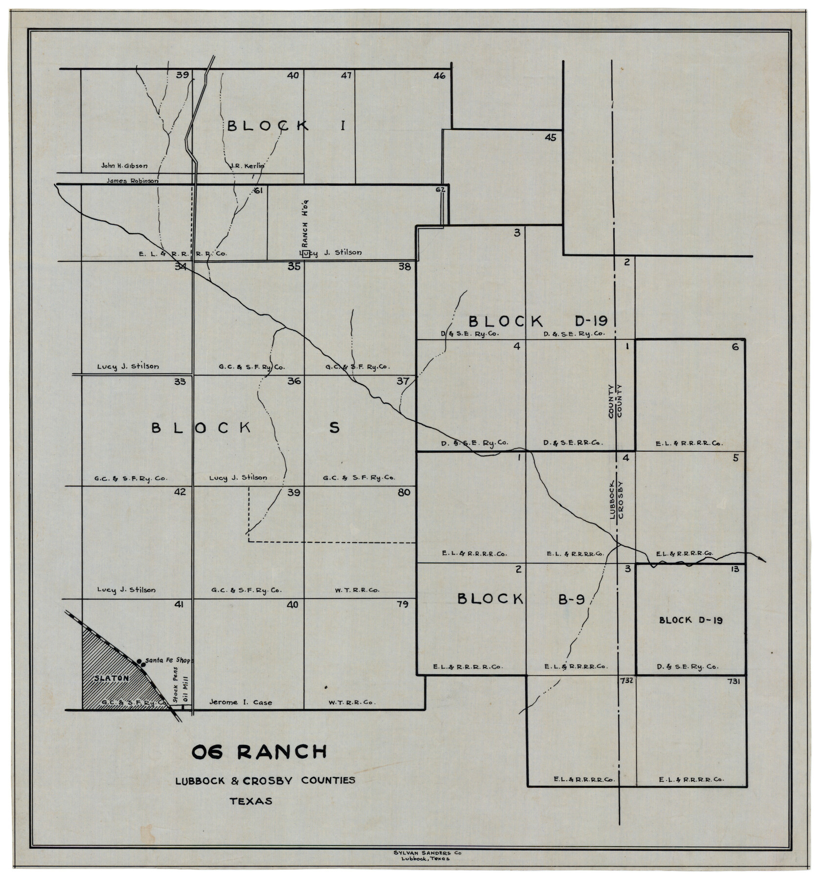
06 Ranch
-
Map/Doc
92836
-
Collection
Twichell Survey Records
-
People and Organizations
Sylvan Sanders (Surveyor/Engineer)
-
Counties
Lubbock Crosby
-
Height x Width
15.2 x 16.0 inches
38.6 x 40.6 cm
Part of: Twichell Survey Records
University of Texas System University Lands

Print $20.00
- Digital $50.00
University of Texas System University Lands
Size 23.0 x 17.5 inches
Map/Doc 93240

Purchase Area Map, Ropesville Rural Communities, Hockley County, Texas

Print $40.00
- Digital $50.00
Purchase Area Map, Ropesville Rural Communities, Hockley County, Texas
1937
Size 52.9 x 29.3 inches
Map/Doc 89681
Section Q Tech Memorial Park, Inc.

Print $20.00
- Digital $50.00
Section Q Tech Memorial Park, Inc.
1950
Size 28.5 x 31.6 inches
Map/Doc 92349
Map of the Melvin, Blum and Blum Lands situated in Bailey County, Texas

Print $40.00
- Digital $50.00
Map of the Melvin, Blum and Blum Lands situated in Bailey County, Texas
Size 40.1 x 80.7 inches
Map/Doc 93148
[Blocks K3-K8, K11]
![90611, [Blocks K3-K8, K11], Twichell Survey Records](https://historictexasmaps.com/wmedia_w700/maps/90611-1.tif.jpg)
Print $20.00
- Digital $50.00
[Blocks K3-K8, K11]
Size 16.8 x 17.2 inches
Map/Doc 90611
[Sketch of Part of B. S. & F. Block 9]
![93090, [Sketch of Part of B. S. & F. Block 9], Twichell Survey Records](https://historictexasmaps.com/wmedia_w700/maps/93090-1.tif.jpg)
Print $2.00
- Digital $50.00
[Sketch of Part of B. S. & F. Block 9]
Size 7.6 x 7.4 inches
Map/Doc 93090
[Leagues 444, 445, 447, 426 1/2, 464-469, Gregg County School Land Leagues 1 and 2, part of Block B]
![91554, [Leagues 444, 445, 447, 426 1/2, 464-469, Gregg County School Land Leagues 1 and 2, part of Block B], Twichell Survey Records](https://historictexasmaps.com/wmedia_w700/maps/91554-1.tif.jpg)
Print $20.00
- Digital $50.00
[Leagues 444, 445, 447, 426 1/2, 464-469, Gregg County School Land Leagues 1 and 2, part of Block B]
Size 13.4 x 14.0 inches
Map/Doc 91554
Amended and Corrected Map of Adrian and Adrian Heights Addition Situated in Oldham County, Texas on Sections 14, 15, 38, 39 and 16 Respectively

Print $20.00
- Digital $50.00
Amended and Corrected Map of Adrian and Adrian Heights Addition Situated in Oldham County, Texas on Sections 14, 15, 38, 39 and 16 Respectively
Size 31.5 x 43.5 inches
Map/Doc 89801

[E. L. & R.R. Block 1, G. C. & S. F. Blocks 1 & 2, T. R. R. Block 4]
![91280, [E. L. & R.R. Block 1, G. C. & S. F. Blocks 1 & 2, T. R. R. Block 4], Twichell Survey Records](https://historictexasmaps.com/wmedia_w700/maps/91280-1.tif.jpg)
Print $20.00
- Digital $50.00
[E. L. & R.R. Block 1, G. C. & S. F. Blocks 1 & 2, T. R. R. Block 4]
Size 8.7 x 19.3 inches
Map/Doc 91280
[Blocks Z3, K5, 8, and 7]
![90590, [Blocks Z3, K5, 8, and 7], Twichell Survey Records](https://historictexasmaps.com/wmedia_w700/maps/90590-1.tif.jpg)
Print $20.00
- Digital $50.00
[Blocks Z3, K5, 8, and 7]
Size 11.7 x 19.3 inches
Map/Doc 90590
You may also like
Van Zandt County Working Sketch 19

Print $20.00
- Digital $50.00
Van Zandt County Working Sketch 19
Size 43.3 x 32.8 inches
Map/Doc 72269
Southwest Part of Anton Chico Grant Guadalupe County, New Mexico

Print $20.00
- Digital $50.00
Southwest Part of Anton Chico Grant Guadalupe County, New Mexico
Size 23.8 x 28.6 inches
Map/Doc 92435
Flight Mission No. CUG-3P, Frame 140, Kleberg County

Print $20.00
- Digital $50.00
Flight Mission No. CUG-3P, Frame 140, Kleberg County
1956
Size 18.7 x 22.3 inches
Map/Doc 86275
Lampasas County Rolled Sketch 3

Print $20.00
- Digital $50.00
Lampasas County Rolled Sketch 3
Size 43.8 x 33.9 inches
Map/Doc 9554
Jim Hogg County Rolled Sketch 8

Print $20.00
- Digital $50.00
Jim Hogg County Rolled Sketch 8
1956
Size 32.1 x 38.2 inches
Map/Doc 9323
Upton County Working Sketch 28

Print $40.00
- Digital $50.00
Upton County Working Sketch 28
1956
Size 52.5 x 35.9 inches
Map/Doc 69524
Lamar County Working Sketch 10

Print $20.00
- Digital $50.00
Lamar County Working Sketch 10
1980
Size 18.6 x 15.4 inches
Map/Doc 70271
Map of the Town of Wilson

Print $20.00
- Digital $50.00
Map of the Town of Wilson
1924
Size 24.6 x 26.7 inches
Map/Doc 92958
Flight Mission No. BRA-16M, Frame 146, Jefferson County

Print $20.00
- Digital $50.00
Flight Mission No. BRA-16M, Frame 146, Jefferson County
1953
Size 18.4 x 22.3 inches
Map/Doc 85752
Flight Mission No. DQN-2K, Frame 4, Calhoun County

Print $20.00
- Digital $50.00
Flight Mission No. DQN-2K, Frame 4, Calhoun County
1953
Size 18.4 x 22.2 inches
Map/Doc 84221
The Texas New Yorker's Map of the U. S. Accompanying the Map of Texas

Print $20.00
The Texas New Yorker's Map of the U. S. Accompanying the Map of Texas
1874
Size 32.3 x 22.8 inches
Map/Doc 76211
Lamb County Sketch File 11

Print $6.00
- Digital $50.00
Lamb County Sketch File 11
1913
Size 11.5 x 8.8 inches
Map/Doc 29360