[Leagues 1, 2, 281, 282, 284, and 285]
DN133
-
Map/Doc
92563
-
Collection
Twichell Survey Records
-
Counties
Dawson
-
Height x Width
23.8 x 19.3 inches
60.5 x 49.0 cm
Part of: Twichell Survey Records
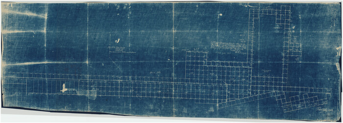
Sketch in Terry, Yoakum, Dawson and Gaines Co's.

Print $40.00
- Digital $50.00
Sketch in Terry, Yoakum, Dawson and Gaines Co's.
1902
Size 72.8 x 26.4 inches
Map/Doc 89782
[Leagues 571- 575, 578- 583, 603- 609, and Surrounding Surveys]
![91065, [Leagues 571- 575, 578- 583, 603- 609, and Surrounding Surveys], Twichell Survey Records](https://historictexasmaps.com/wmedia_w700/maps/91065-1.tif.jpg)
![91065, [Leagues 571- 575, 578- 583, 603- 609, and Surrounding Surveys], Twichell Survey Records](https://historictexasmaps.com/wmedia_w700/maps/91065-1.tif.jpg)
Print $20.00
- Digital $50.00
[Leagues 571- 575, 578- 583, 603- 609, and Surrounding Surveys]
Size 43.2 x 12.5 inches
Map/Doc 91065
Anton Quadrangle


Print $20.00
- Digital $50.00
Anton Quadrangle
1957
Size 18.1 x 22.1 inches
Map/Doc 92814
Ownership Map Upton Co., Texas
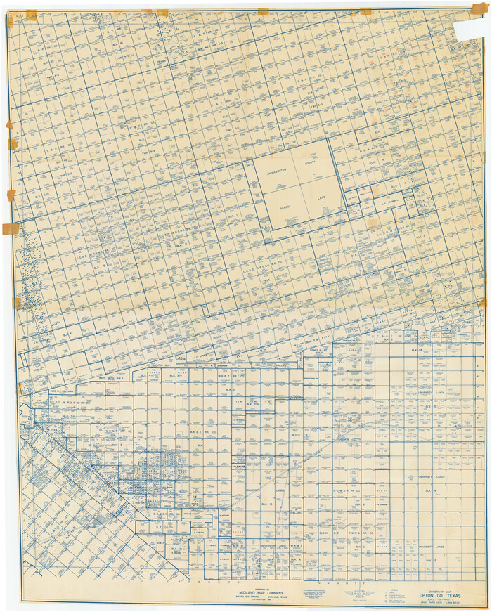

Ownership Map Upton Co., Texas
1951
Size 45.6 x 56.9 inches
Map/Doc 89904
[Scripture Addition to the City of Denton]
![90586, [Scripture Addition to the City of Denton], Twichell Survey Records](https://historictexasmaps.com/wmedia_w700/maps/90586-1.tif.jpg)
![90586, [Scripture Addition to the City of Denton], Twichell Survey Records](https://historictexasmaps.com/wmedia_w700/maps/90586-1.tif.jpg)
Print $20.00
- Digital $50.00
[Scripture Addition to the City of Denton]
Size 35.4 x 31.4 inches
Map/Doc 90586
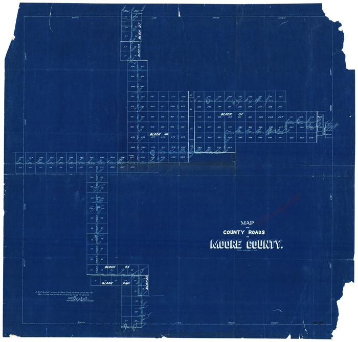
Map of County Roads in Moore County

Print $20.00
- Digital $50.00
Map of County Roads in Moore County
Size 22.2 x 21.2 inches
Map/Doc 93005
[Map of Counties south of Panhandle]
![92960, [Map of Counties south of Panhandle], Twichell Survey Records](https://historictexasmaps.com/wmedia_w700/maps/92960-1.tif.jpg)
![92960, [Map of Counties south of Panhandle], Twichell Survey Records](https://historictexasmaps.com/wmedia_w700/maps/92960-1.tif.jpg)
Print $20.00
- Digital $50.00
[Map of Counties south of Panhandle]
Size 22.1 x 15.8 inches
Map/Doc 92960
[North line of Sherman, Hansford, Ochiltree and Lipscomb Counties]
![93189, [North line of Sherman, Hansford, Ochiltree and Lipscomb Counties], Twichell Survey Records](https://historictexasmaps.com/wmedia_w700/maps/93189-1.tif.jpg)
![93189, [North line of Sherman, Hansford, Ochiltree and Lipscomb Counties], Twichell Survey Records](https://historictexasmaps.com/wmedia_w700/maps/93189-1.tif.jpg)
Print $40.00
- Digital $50.00
[North line of Sherman, Hansford, Ochiltree and Lipscomb Counties]
Size 127.0 x 14.3 inches
Map/Doc 93189
[Hockley, Lubbock, Terry and Lynn Corner]
![92954, [Hockley, Lubbock, Terry and Lynn Corner], Twichell Survey Records](https://historictexasmaps.com/wmedia_w700/maps/92954-1.tif.jpg)
![92954, [Hockley, Lubbock, Terry and Lynn Corner], Twichell Survey Records](https://historictexasmaps.com/wmedia_w700/maps/92954-1.tif.jpg)
Print $20.00
- Digital $50.00
[Hockley, Lubbock, Terry and Lynn Corner]
Size 24.5 x 18.9 inches
Map/Doc 92954
University of Texas System University Lands


Print $20.00
- Digital $50.00
University of Texas System University Lands
1936
Size 23.2 x 17.6 inches
Map/Doc 93236
Part of Fisher County [around Bastrop County School Land Leagues 313 and 314, Thos. H. Cosby League 315 and El Paso County School Land League 316]
![90820, Part of Fisher County [around Bastrop County School Land Leagues 313 and 314, Thos. H. Cosby League 315 and El Paso County School Land League 316], Twichell Survey Records](https://historictexasmaps.com/wmedia_w700/maps/90820-2.tif.jpg)
![90820, Part of Fisher County [around Bastrop County School Land Leagues 313 and 314, Thos. H. Cosby League 315 and El Paso County School Land League 316], Twichell Survey Records](https://historictexasmaps.com/wmedia_w700/maps/90820-2.tif.jpg)
Print $20.00
- Digital $50.00
Part of Fisher County [around Bastrop County School Land Leagues 313 and 314, Thos. H. Cosby League 315 and El Paso County School Land League 316]
1883
Size 20.0 x 24.7 inches
Map/Doc 90820
You may also like
Flight Mission No. BRA-7M, Frame 178, Jefferson County


Print $20.00
- Digital $50.00
Flight Mission No. BRA-7M, Frame 178, Jefferson County
1953
Size 18.6 x 22.4 inches
Map/Doc 85546
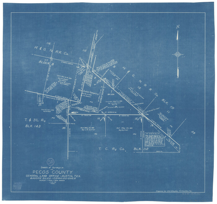
Pecos County Working Sketch 58

Print $20.00
- Digital $50.00
Pecos County Working Sketch 58
1949
Size 20.5 x 22.0 inches
Map/Doc 71530
Rusk County Sketch File 10
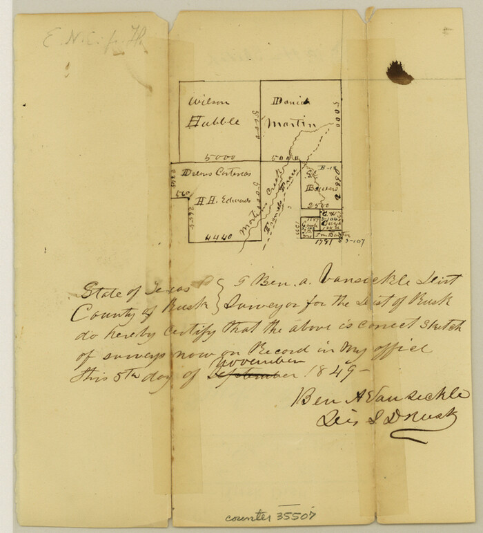

Print $4.00
Rusk County Sketch File 10
1849
Size 8.1 x 7.3 inches
Map/Doc 35507
Harris County Working Sketch 75
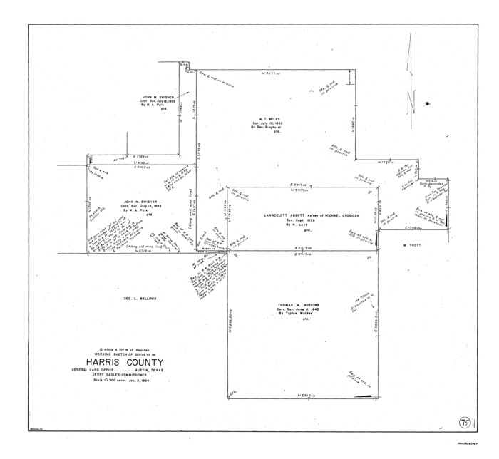

Print $20.00
- Digital $50.00
Harris County Working Sketch 75
1964
Size 29.7 x 32.3 inches
Map/Doc 65967
Calhoun County Rolled Sketch 36


Print $40.00
- Digital $50.00
Calhoun County Rolled Sketch 36
2003
Size 33.3 x 49.0 inches
Map/Doc 78655
Houston Ship Channel, Alexander Island to Carpenter Bayou
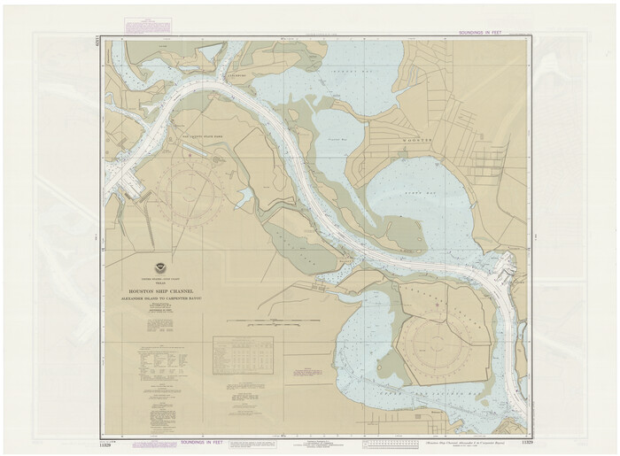

Print $40.00
- Digital $50.00
Houston Ship Channel, Alexander Island to Carpenter Bayou
1982
Size 36.0 x 49.5 inches
Map/Doc 69913
Wilbarger County Sketch File 17
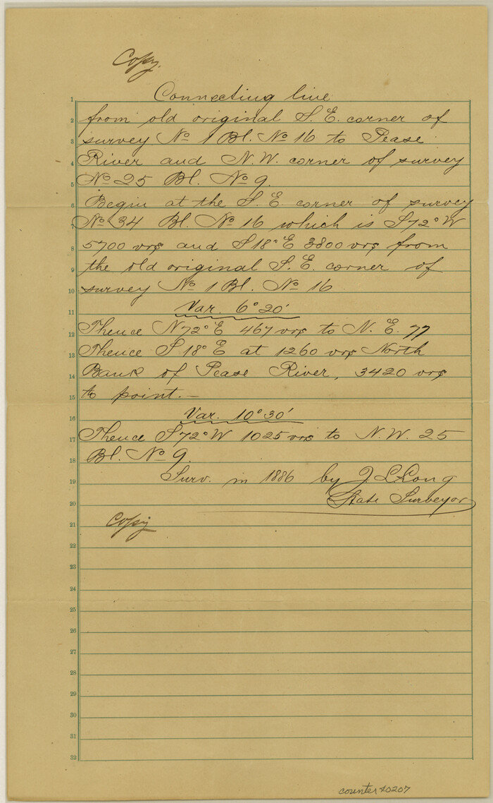

Print $4.00
- Digital $50.00
Wilbarger County Sketch File 17
1886
Size 14.2 x 8.7 inches
Map/Doc 40207
Map B [showing surveys along river and in vicinity of Archer County School Land League 3]
![89752, Map B [showing surveys along river and in vicinity of Archer County School Land League 3], Twichell Survey Records](https://historictexasmaps.com/wmedia_w700/maps/89752-1.tif.jpg)
![89752, Map B [showing surveys along river and in vicinity of Archer County School Land League 3], Twichell Survey Records](https://historictexasmaps.com/wmedia_w700/maps/89752-1.tif.jpg)
Print $20.00
- Digital $50.00
Map B [showing surveys along river and in vicinity of Archer County School Land League 3]
Size 42.7 x 38.0 inches
Map/Doc 89752
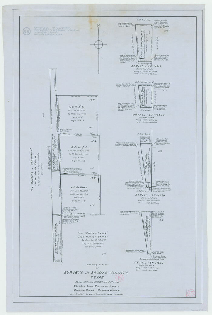
Brooks County Working Sketch 15

Print $20.00
- Digital $50.00
Brooks County Working Sketch 15
1944
Size 30.5 x 20.5 inches
Map/Doc 67799
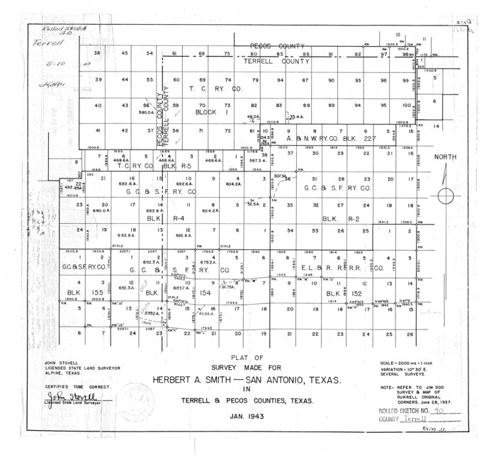
Terrell County Rolled Sketch 40

Print $20.00
- Digital $50.00
Terrell County Rolled Sketch 40
1943
Size 16.7 x 18.1 inches
Map/Doc 7944
El Paso County Rolled Sketch 54


Print $20.00
- Digital $50.00
El Paso County Rolled Sketch 54
1980
Size 30.4 x 42.8 inches
Map/Doc 44539
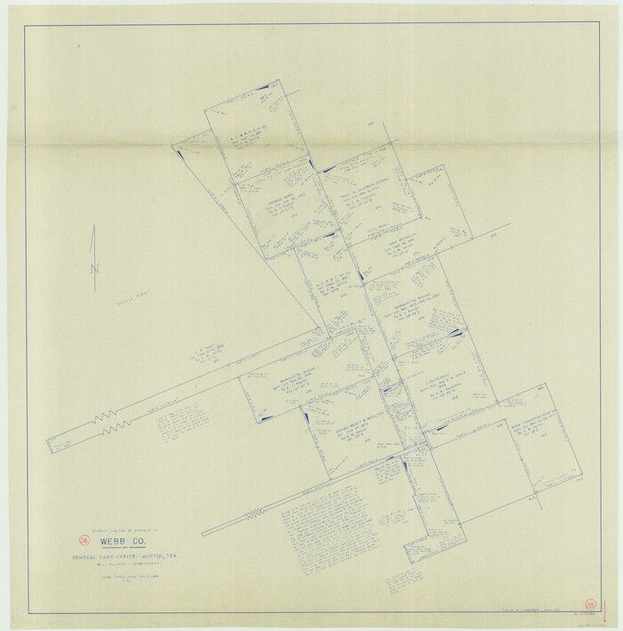
Webb County Working Sketch 58

Print $20.00
- Digital $50.00
Webb County Working Sketch 58
1958
Size 37.4 x 37.0 inches
Map/Doc 72424
![92563, [Leagues 1, 2, 281, 282, 284, and 285], Twichell Survey Records](https://historictexasmaps.com/wmedia_w1800h1800/maps/92563-1.tif.jpg)
![91955, [PSL Block B19], Twichell Survey Records](https://historictexasmaps.com/wmedia_w700/maps/91955-1.tif.jpg)