Northeastern United States Including the Great Lakes Region
-
Map/Doc
92395
-
Collection
Twichell Survey Records
-
Object Dates
1959 (Creation Date)
-
People and Organizations
National Geographic Society (Compiler)
-
Subjects
United States
-
Height x Width
25.6 x 19.3 inches
65.0 x 49.0 cm
-
Comments
For research only. Not available for duplication from the GLO.
Part of: Twichell Survey Records
[Strickland Survey Sketch Showing Abercrombie Corner, Exhibit C]
![91369, [Strickland Survey Sketch Showing Abercrombie Corner, Exhibit C], Twichell Survey Records](https://historictexasmaps.com/wmedia_w700/maps/91369-1.tif.jpg)
![91369, [Strickland Survey Sketch Showing Abercrombie Corner, Exhibit C], Twichell Survey Records](https://historictexasmaps.com/wmedia_w700/maps/91369-1.tif.jpg)
Print $20.00
- Digital $50.00
[Strickland Survey Sketch Showing Abercrombie Corner, Exhibit C]
Size 18.0 x 24.5 inches
Map/Doc 91369
Seagraves Chamber of Commerce Subdivision of Northeast Quarter of Southeast Quarter of Section 9, Block C-34, Gaines County, Texas


Print $20.00
- Digital $50.00
Seagraves Chamber of Commerce Subdivision of Northeast Quarter of Southeast Quarter of Section 9, Block C-34, Gaines County, Texas
1955
Size 16.7 x 18.2 inches
Map/Doc 92684
Sketch Showing Original Corners and Connections Affecting Blocks T1, T2, and T3 in Lamb and Castro Counties, Texas


Print $20.00
- Digital $50.00
Sketch Showing Original Corners and Connections Affecting Blocks T1, T2, and T3 in Lamb and Castro Counties, Texas
Size 17.7 x 30.6 inches
Map/Doc 92199
North Part Brewster Co.


Print $40.00
- Digital $50.00
North Part Brewster Co.
1914
Size 48.4 x 37.8 inches
Map/Doc 89864
[Sutton County School Land and vicinity]
![92477, [Sutton County School Land and vicinity], Twichell Survey Records](https://historictexasmaps.com/wmedia_w700/maps/92477-1.tif.jpg)
![92477, [Sutton County School Land and vicinity], Twichell Survey Records](https://historictexasmaps.com/wmedia_w700/maps/92477-1.tif.jpg)
Print $20.00
- Digital $50.00
[Sutton County School Land and vicinity]
Size 21.0 x 34.3 inches
Map/Doc 92477
[Map showing J. H. Gibson Blocks D and DD]
![92006, [Map showing J. H. Gibson Blocks D and DD], Twichell Survey Records](https://historictexasmaps.com/wmedia_w700/maps/92006-1.tif.jpg)
![92006, [Map showing J. H. Gibson Blocks D and DD], Twichell Survey Records](https://historictexasmaps.com/wmedia_w700/maps/92006-1.tif.jpg)
Print $20.00
- Digital $50.00
[Map showing J. H. Gibson Blocks D and DD]
Size 31.5 x 22.0 inches
Map/Doc 92006
W. W. Watts' Ranch in Crosby County, Texas
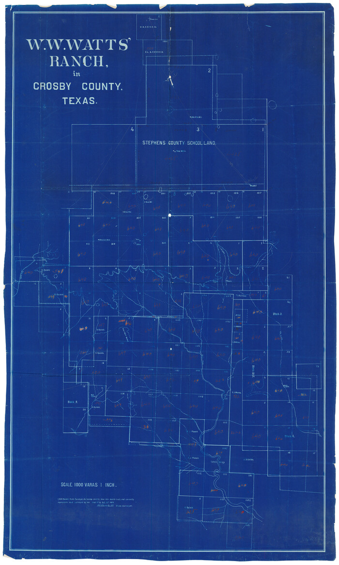

Print $20.00
- Digital $50.00
W. W. Watts' Ranch in Crosby County, Texas
1904
Size 17.7 x 28.9 inches
Map/Doc 90485
Lubbock Irrigation Co. San Augustine County School Land Lubbock County, Texas
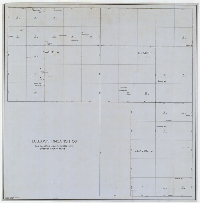

Print $20.00
- Digital $50.00
Lubbock Irrigation Co. San Augustine County School Land Lubbock County, Texas
Size 37.5 x 37.9 inches
Map/Doc 89894
A true copy of Peck's field book page 1, except classification of lands
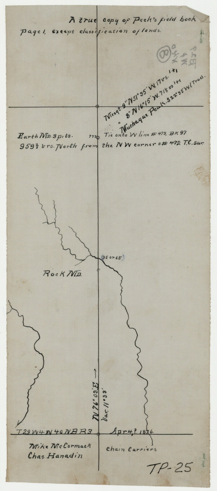

Print $2.00
- Digital $50.00
A true copy of Peck's field book page 1, except classification of lands
1876
Size 5.3 x 12.0 inches
Map/Doc 91979
EL&RR S2, HE&WT K3, Pt.L&SV K, C4 & C3
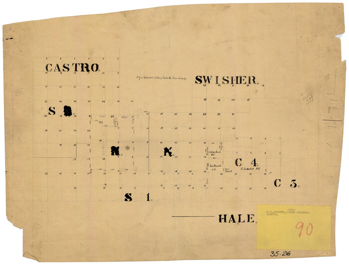

Print $20.00
- Digital $50.00
EL&RR S2, HE&WT K3, Pt.L&SV K, C4 & C3
Size 23.3 x 17.5 inches
Map/Doc 90416
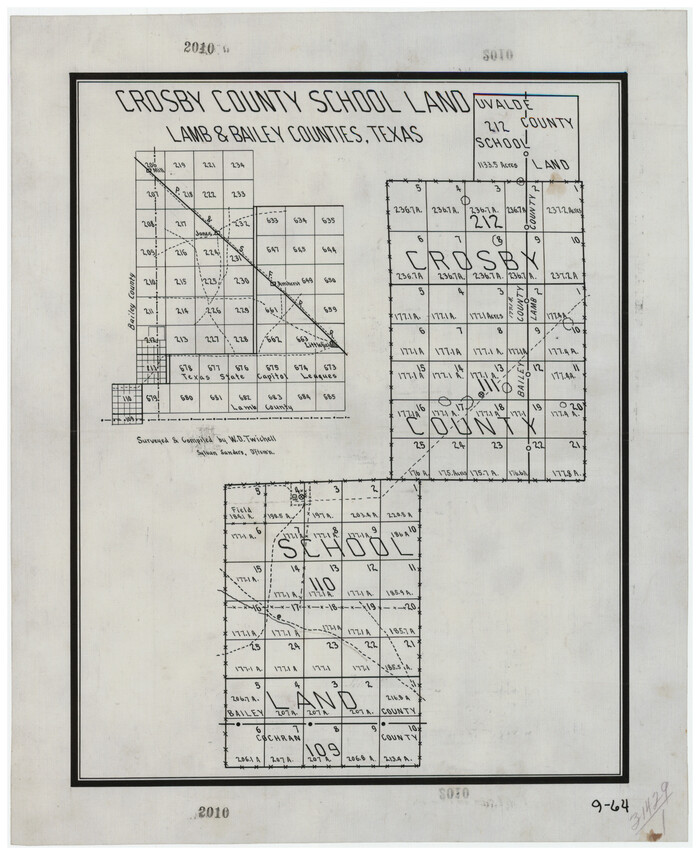
Crosby County School Land, Lamb and Bailey Counties

Print $20.00
- Digital $50.00
Crosby County School Land, Lamb and Bailey Counties
Size 12.4 x 14.9 inches
Map/Doc 90109
You may also like
Hutchinson County Sketch File 41

Print $14.00
- Digital $50.00
Hutchinson County Sketch File 41
1955
Size 9.8 x 8.5 inches
Map/Doc 27298
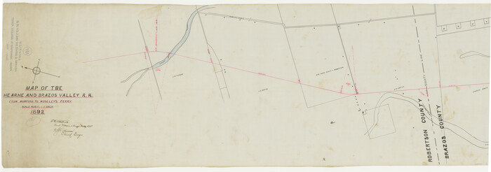
Map of the Hearne and Brazos Valley Railroad from Mumford to Moseley's Ferry

Print $40.00
- Digital $50.00
Map of the Hearne and Brazos Valley Railroad from Mumford to Moseley's Ferry
1892
Size 20.0 x 56.8 inches
Map/Doc 64400
Val Verde County Working Sketch 3


Print $20.00
- Digital $50.00
Val Verde County Working Sketch 3
Size 17.5 x 24.1 inches
Map/Doc 72138
Flight Mission No. DQO-2K, Frame 151, Galveston County


Print $20.00
- Digital $50.00
Flight Mission No. DQO-2K, Frame 151, Galveston County
1952
Size 18.9 x 22.6 inches
Map/Doc 85048
Texas, Brazos River, Freeport


Print $40.00
- Digital $50.00
Texas, Brazos River, Freeport
1933
Size 28.4 x 48.3 inches
Map/Doc 69994
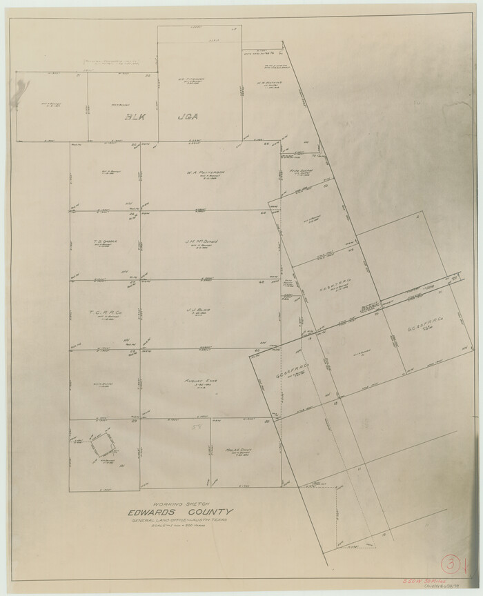
Edwards County Working Sketch 3

Print $20.00
- Digital $50.00
Edwards County Working Sketch 3
Size 22.6 x 18.3 inches
Map/Doc 68879
Right of Way & Track Map, St. Louis, Brownsville & Mexico Ry. operated by St. Louis, Brownsville & Mexico Ry. Co.
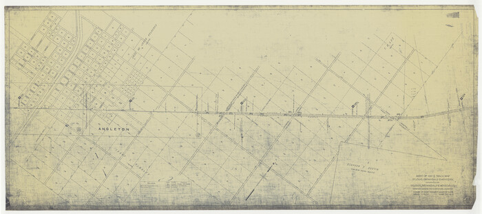

Print $40.00
- Digital $50.00
Right of Way & Track Map, St. Louis, Brownsville & Mexico Ry. operated by St. Louis, Brownsville & Mexico Ry. Co.
1919
Size 25.4 x 57.2 inches
Map/Doc 64621
Fort Bend County State Real Property Sketch 16
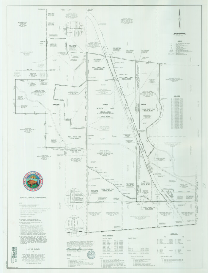

Print $20.00
- Digital $50.00
Fort Bend County State Real Property Sketch 16
2004
Size 47.9 x 36.5 inches
Map/Doc 80139
Reagan County
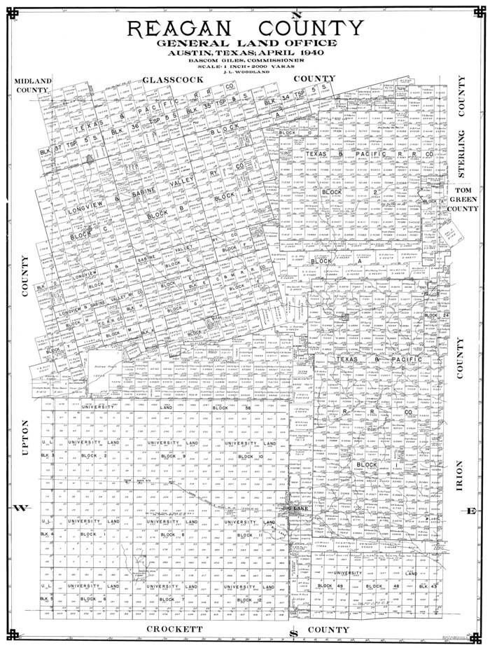

Print $20.00
- Digital $50.00
Reagan County
1940
Size 41.6 x 31.4 inches
Map/Doc 77403
Flight Mission No. CRK-5P, Frame 125, Refugio County


Print $20.00
- Digital $50.00
Flight Mission No. CRK-5P, Frame 125, Refugio County
1956
Size 18.3 x 22.3 inches
Map/Doc 86928
A Map of the Internal Provinces of New Spain


Print $20.00
A Map of the Internal Provinces of New Spain
1807
Size 18.9 x 19.5 inches
Map/Doc 76234
Moore County Working Sketch 9
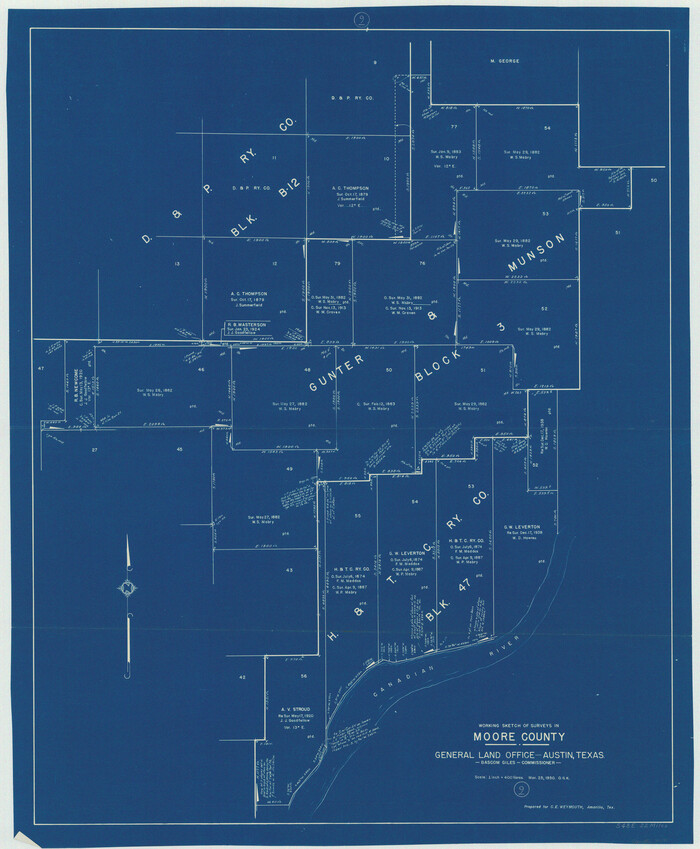

Print $20.00
- Digital $50.00
Moore County Working Sketch 9
1950
Size 38.5 x 31.8 inches
Map/Doc 71191

