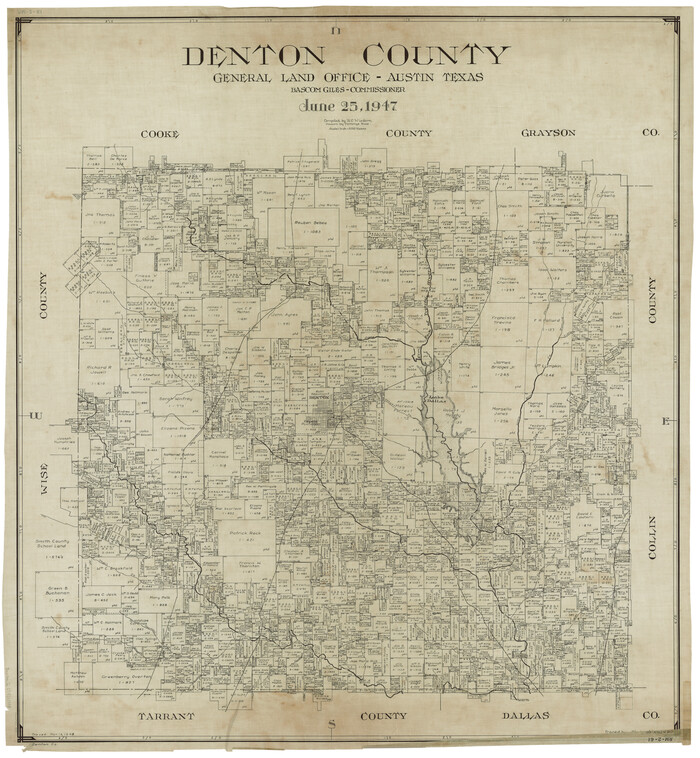
Hudspeth County Rolled Sketch 42
Hudspeth County Right of Way map of State Highway No. (One) US80 (F.A.P.) 245-C from 0.5 mi. E of Arroyo Balluco to Lasca
-
Map/Doc
9215
-
Collection
General Map Collection
-
Object Dates
1932 (Creation Date)
-
Counties
Hudspeth
-
Subjects
Surveying Rolled Sketch
-
Height x Width
12.7 x 156.8 inches
32.3 x 398.3 cm
-
Medium
blueprint/diazo
-
Scale
1" = 400 feet
Part of: General Map Collection
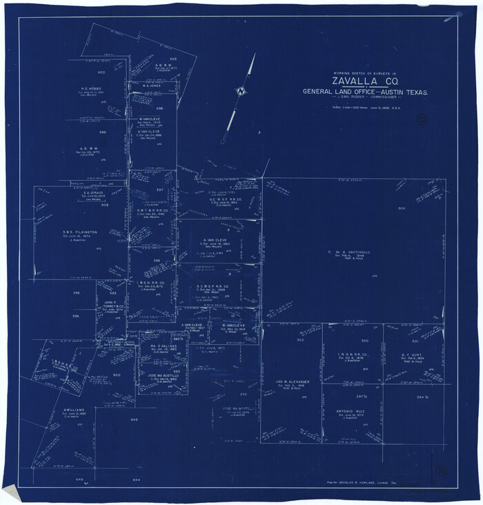
Zavala County Working Sketch 12

Print $20.00
- Digital $50.00
Zavala County Working Sketch 12
1956
Size 31.5 x 30.2 inches
Map/Doc 62087
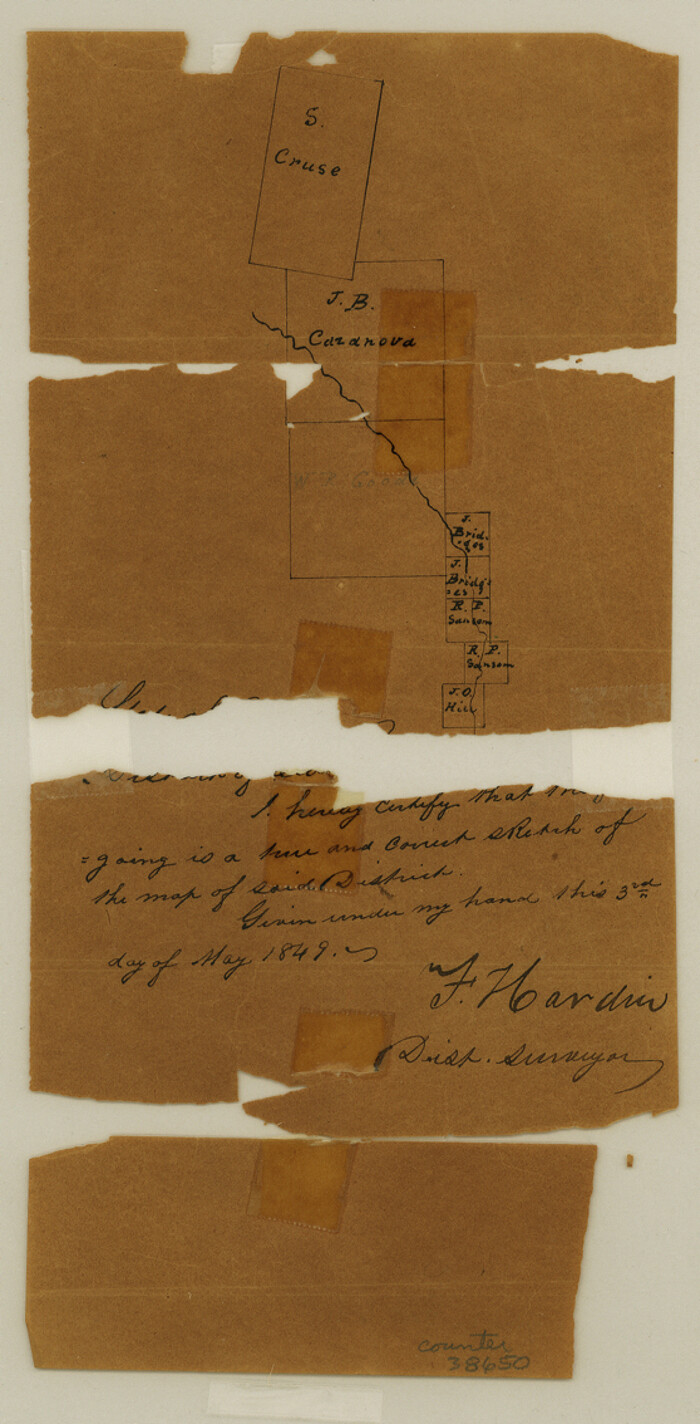
Tyler County Sketch File 11

Print $4.00
- Digital $50.00
Tyler County Sketch File 11
1849
Size 11.3 x 5.6 inches
Map/Doc 38650
Kimble County Working Sketch 14


Print $20.00
- Digital $50.00
Kimble County Working Sketch 14
1923
Size 17.2 x 13.2 inches
Map/Doc 70082
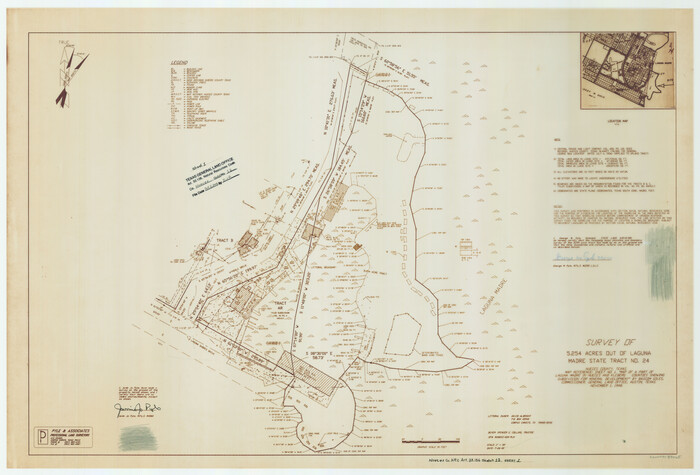
Nueces County NRC Article 33.136 Sketch 12

Print $80.00
- Digital $50.00
Nueces County NRC Article 33.136 Sketch 12
2000
Size 24.9 x 36.7 inches
Map/Doc 83065
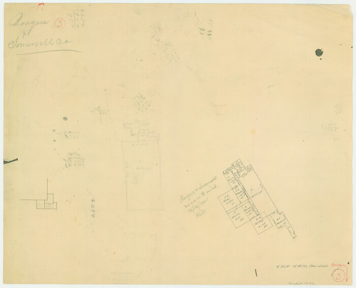
Bosque County Working Sketch 3

Print $20.00
- Digital $50.00
Bosque County Working Sketch 3
1901
Size 16.5 x 20.4 inches
Map/Doc 78192
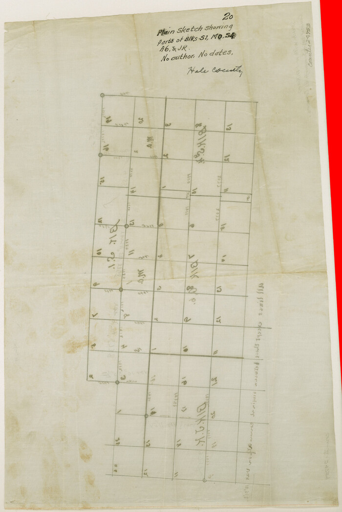
Hale County Sketch File 20

Print $6.00
- Digital $50.00
Hale County Sketch File 20
Size 15.7 x 10.5 inches
Map/Doc 24753
Shelby County Sketch File 17


Print $10.00
- Digital $50.00
Shelby County Sketch File 17
Size 8.2 x 9.5 inches
Map/Doc 36631
Victoria County Rolled Sketch 1


Print $20.00
- Digital $50.00
Victoria County Rolled Sketch 1
1902
Size 20.5 x 17.5 inches
Map/Doc 8150
Gaines County Rolled Sketch G3


Print $20.00
- Digital $50.00
Gaines County Rolled Sketch G3
1902
Size 22.7 x 31.4 inches
Map/Doc 5946
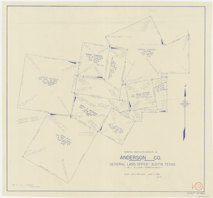
Anderson County Working Sketch 23

Print $20.00
- Digital $50.00
Anderson County Working Sketch 23
1958
Size 23.1 x 24.8 inches
Map/Doc 67023
Hood County Working Sketch 27


Print $20.00
- Digital $50.00
Hood County Working Sketch 27
1995
Size 24.6 x 38.0 inches
Map/Doc 66221
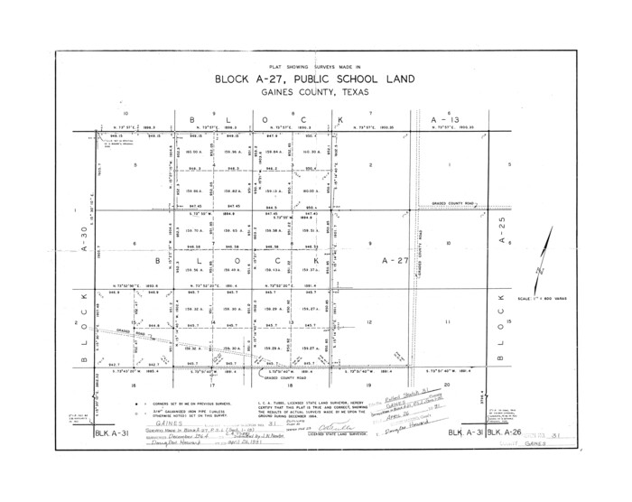
Gaines County Rolled Sketch 31

Print $20.00
- Digital $50.00
Gaines County Rolled Sketch 31
1964
Size 20.2 x 25.5 inches
Map/Doc 5944
You may also like
Intracoastal Waterway in Texas - Corpus Christi to Point Isabel including Arroyo Colorado to Mo. Pac. R.R. Bridge Near Harlingen
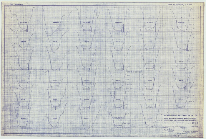

Print $20.00
- Digital $50.00
Intracoastal Waterway in Texas - Corpus Christi to Point Isabel including Arroyo Colorado to Mo. Pac. R.R. Bridge Near Harlingen
1934
Size 22.0 x 32.7 inches
Map/Doc 61884
Real County Rolled Sketch 18
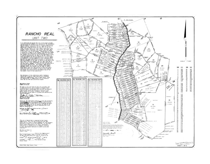

Print $20.00
- Digital $50.00
Real County Rolled Sketch 18
1986
Size 25.3 x 32.5 inches
Map/Doc 7469
Presidio County Sketch File 62
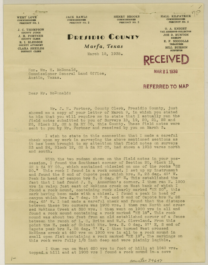

Print $10.00
- Digital $50.00
Presidio County Sketch File 62
1938
Size 11.2 x 8.8 inches
Map/Doc 34647
Map of Northern Boundary Line of Texas and Pacific 80 Mile Reservation


Print $20.00
- Digital $50.00
Map of Northern Boundary Line of Texas and Pacific 80 Mile Reservation
1902
Size 16.8 x 16.7 inches
Map/Doc 65694
Dallam County Working Sketch 4
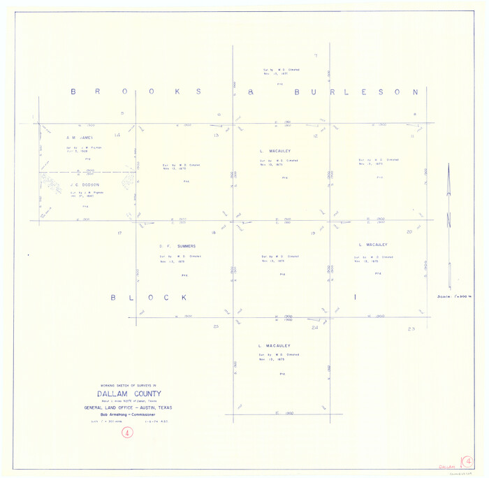

Print $20.00
- Digital $50.00
Dallam County Working Sketch 4
1974
Size 31.2 x 32.0 inches
Map/Doc 68589
Texas Intracoastal Waterway - Laguna Madre - Dagger Hill to Potrero Grande


Print $20.00
- Digital $50.00
Texas Intracoastal Waterway - Laguna Madre - Dagger Hill to Potrero Grande
1960
Size 38.7 x 27.2 inches
Map/Doc 73510
Menard County Boundary File 2a
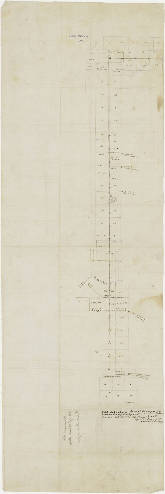

Print $80.00
- Digital $50.00
Menard County Boundary File 2a
Size 36.4 x 12.2 inches
Map/Doc 57065
Atascosa County Sketch File 23
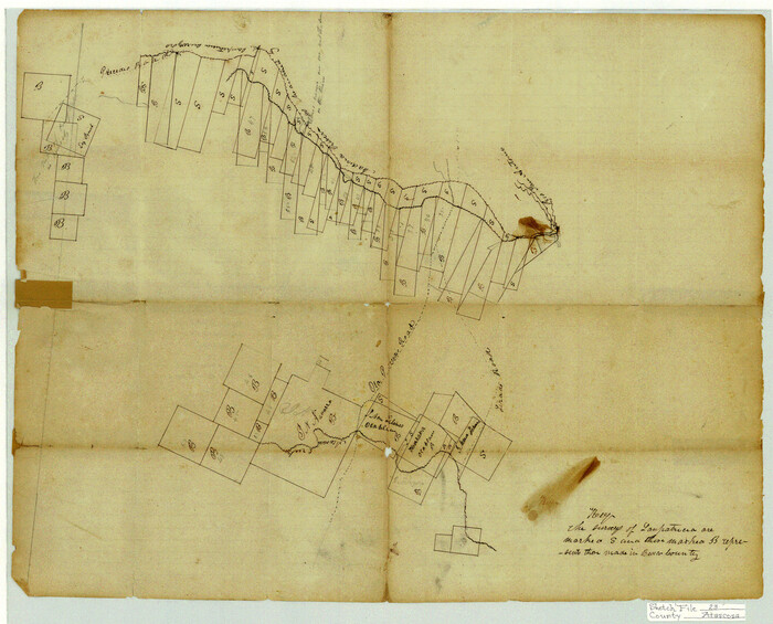

Print $40.00
- Digital $50.00
Atascosa County Sketch File 23
Size 17.1 x 21.2 inches
Map/Doc 10860
Taylor County Working Sketch 13
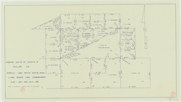

Print $20.00
- Digital $50.00
Taylor County Working Sketch 13
1956
Size 16.3 x 28.9 inches
Map/Doc 69623
Hardin County Sketch File 27


Print $4.00
- Digital $50.00
Hardin County Sketch File 27
Size 13.0 x 8.1 inches
Map/Doc 25151
Map of the Interior of Louisiana with a part of New Mexico


Print $20.00
- Digital $50.00
Map of the Interior of Louisiana with a part of New Mexico
1813
Size 11.9 x 15.7 inches
Map/Doc 94460

