[Surveys along the Brazos River]
Atlas G, Page 5, Sketch 39 (G-5-39)
G-5-39
-
Map/Doc
261
-
Collection
General Map Collection
-
Object Dates
1847 (Creation Date)
-
People and Organizations
Hiram Baker (Surveyor/Engineer)
-
Counties
Falls Milam
-
Subjects
Atlas
-
Height x Width
12.1 x 8.4 inches
30.7 x 21.3 cm
-
Medium
paper, manuscript
-
Comments
Conserved in 2004.
-
Features
Brasos [sic] River
Pond Creek
Part of: General Map Collection
Frio County Rolled Sketch 20

Print $40.00
- Digital $50.00
Frio County Rolled Sketch 20
1956
Size 31.0 x 59.4 inches
Map/Doc 8910
Red River County Working Sketch 56

Print $20.00
- Digital $50.00
Red River County Working Sketch 56
1971
Size 30.1 x 35.2 inches
Map/Doc 72039
Flight Mission No. DCL-4C, Frame 147, Kenedy County

Print $20.00
- Digital $50.00
Flight Mission No. DCL-4C, Frame 147, Kenedy County
1943
Size 18.6 x 22.3 inches
Map/Doc 85825
Motley County Boundary File 2d

Print $22.00
- Digital $50.00
Motley County Boundary File 2d
Size 14.3 x 8.7 inches
Map/Doc 57550
Menard County Working Sketch Graphic Index


Print $20.00
- Digital $50.00
Menard County Working Sketch Graphic Index
1942
Size 38.4 x 41.7 inches
Map/Doc 76640
Township 8 North Range 14 West, North Western District, Louisiana


Print $20.00
- Digital $50.00
Township 8 North Range 14 West, North Western District, Louisiana
1854
Size 19.7 x 24.7 inches
Map/Doc 65874
Map of Neches River, Texas from Sabine Lake to Beaumont, Texas


Print $40.00
- Digital $50.00
Map of Neches River, Texas from Sabine Lake to Beaumont, Texas
1910
Size 32.4 x 104.0 inches
Map/Doc 2465
Official Map of the Highway System of Texas
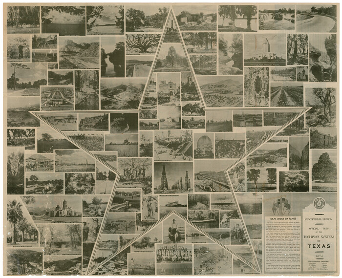

Print $20.00
- Digital $50.00
Official Map of the Highway System of Texas
1936
Size 27.5 x 33.4 inches
Map/Doc 83599
G. C. & S. F., Main Line, Texas, Right of Way map, Rio Vista to Crowley


Print $40.00
- Digital $50.00
G. C. & S. F., Main Line, Texas, Right of Way map, Rio Vista to Crowley
1916
Size 40.2 x 92.0 inches
Map/Doc 64654
Flight Mission No. DQN-2K, Frame 187, Calhoun County


Print $20.00
- Digital $50.00
Flight Mission No. DQN-2K, Frame 187, Calhoun County
1953
Size 18.4 x 22.2 inches
Map/Doc 84328
Rusk County Working Sketch 25
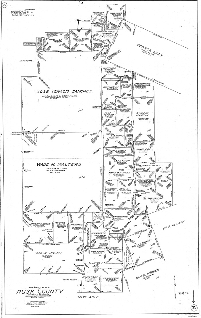

Print $20.00
- Digital $50.00
Rusk County Working Sketch 25
1941
Size 39.8 x 25.1 inches
Map/Doc 63661
Flight Mission No. CUG-3P, Frame 136, Kleberg County

Print $20.00
- Digital $50.00
Flight Mission No. CUG-3P, Frame 136, Kleberg County
1956
Size 18.5 x 22.3 inches
Map/Doc 86271
You may also like
[Points along west and north lines of county]
![90401, [Points along west and north lines of county], Twichell Survey Records](https://historictexasmaps.com/wmedia_w700/maps/90401-1.tif.jpg)
![90401, [Points along west and north lines of county], Twichell Survey Records](https://historictexasmaps.com/wmedia_w700/maps/90401-1.tif.jpg)
Print $20.00
- Digital $50.00
[Points along west and north lines of county]
Size 14.7 x 19.3 inches
Map/Doc 90401
Leon County Working Sketch 51


Print $40.00
- Digital $50.00
Leon County Working Sketch 51
1982
Size 31.5 x 54.6 inches
Map/Doc 70450
El Paso County Rolled Sketch Z59

Print $40.00
- Digital $50.00
El Paso County Rolled Sketch Z59
1915
Size 36.5 x 48.1 inches
Map/Doc 8872
Navarro County Working Sketch 14


Print $20.00
- Digital $50.00
Navarro County Working Sketch 14
1981
Size 36.8 x 33.1 inches
Map/Doc 71244
Gillespie County Rolled Sketch 9
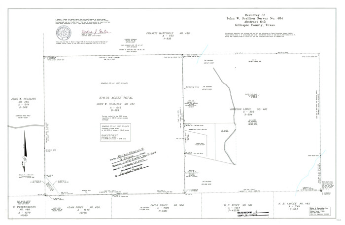

Print $20.00
- Digital $50.00
Gillespie County Rolled Sketch 9
2014
Size 23.6 x 36.2 inches
Map/Doc 93713
Callahan County Sketch File 3
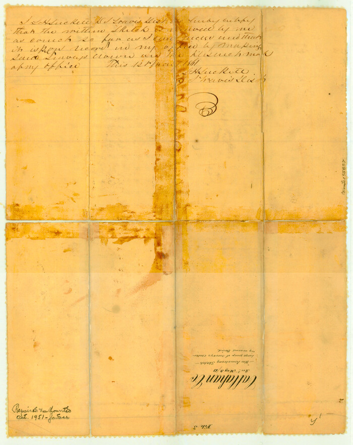

Print $40.00
- Digital $50.00
Callahan County Sketch File 3
1860
Size 17.4 x 13.8 inches
Map/Doc 35857
Current Miscellaneous File 71
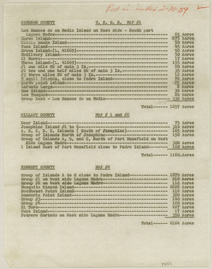

Print $8.00
- Digital $50.00
Current Miscellaneous File 71
Size 11.2 x 8.8 inches
Map/Doc 74155
La Salle County Sketch File 47


Print $8.00
- Digital $50.00
La Salle County Sketch File 47
1941
Size 14.2 x 8.9 inches
Map/Doc 29613
The Republic County of San Augustine. December 29, 1845
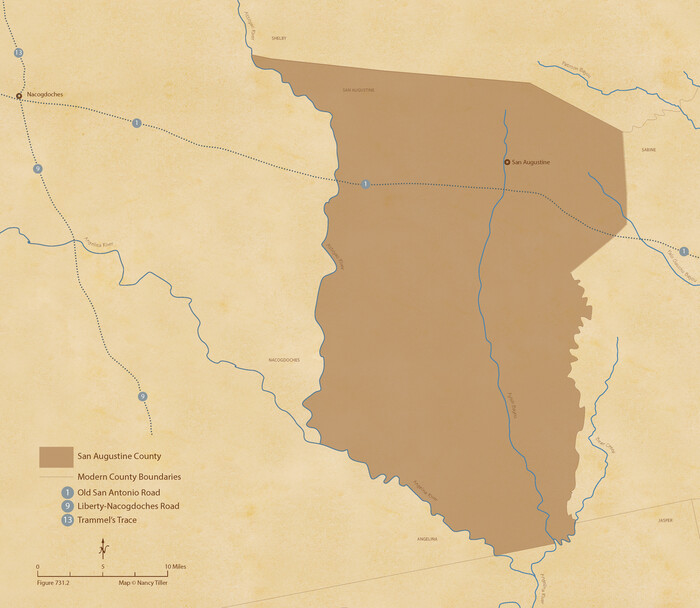

Print $20.00
The Republic County of San Augustine. December 29, 1845
2020
Size 18.8 x 21.7 inches
Map/Doc 96272
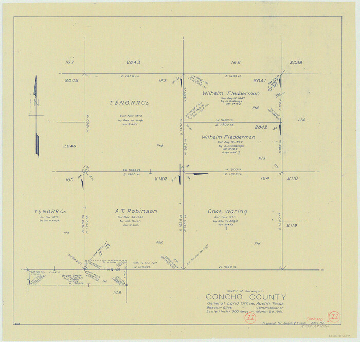
Concho County Working Sketch 11

Print $20.00
- Digital $50.00
Concho County Working Sketch 11
1951
Size 22.0 x 23.2 inches
Map/Doc 68193
Atascosa County Rolled Sketch 20A


Print $20.00
- Digital $50.00
Atascosa County Rolled Sketch 20A
Size 41.8 x 32.8 inches
Map/Doc 10224
Concho County Sketch File 51


Print $24.00
- Digital $50.00
Concho County Sketch File 51
1971
Size 11.1 x 8.6 inches
Map/Doc 19218
![261, [Surveys along the Brazos River], General Map Collection](https://historictexasmaps.com/wmedia_w1800h1800/maps/261.tif.jpg)