[Blocks 5-T, M-23, and vicinity]
117-2
-
Map/Doc
91230
-
Collection
Twichell Survey Records
-
Object Dates
12/6/1890 (Creation Date)
-
People and Organizations
Emanuel von Rosenberg (Draftsman)
David Davies (Surveyor/Engineer)
-
Counties
Hutchinson
-
Height x Width
39.0 x 22.7 inches
99.1 x 57.7 cm
Part of: Twichell Survey Records
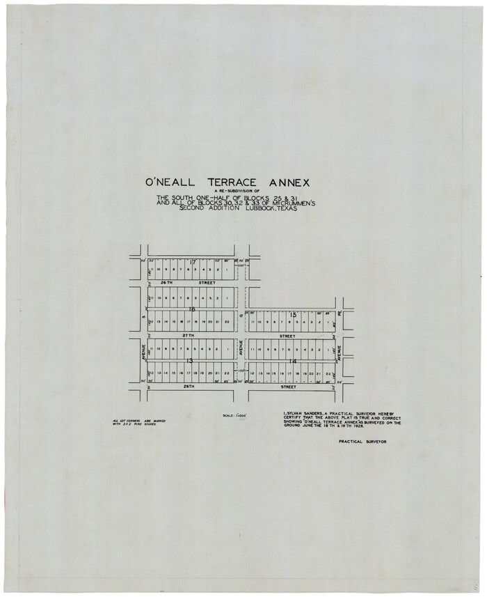
O'Neall Terrace Annex, a Re-Subdivision of the South One-half of Blocks 25 and 31 and all of Blocks 30, 32, and 33 of McCrummen's Second Addition, Lubbock, Texas

Print $20.00
- Digital $50.00
O'Neall Terrace Annex, a Re-Subdivision of the South One-half of Blocks 25 and 31 and all of Blocks 30, 32, and 33 of McCrummen's Second Addition, Lubbock, Texas
1928
Size 23.2 x 27.6 inches
Map/Doc 92747
Plat of Connecting Line between Northwest Corner of Eddy Sparks 1-1662


Print $20.00
- Digital $50.00
Plat of Connecting Line between Northwest Corner of Eddy Sparks 1-1662
1945
Size 20.0 x 27.6 inches
Map/Doc 92602
[H. & T. C. Block 47, Sections 47- 57, Part of Block B12]
![91527, [H. & T. C. Block 47, Sections 47- 57, Part of Block B12], Twichell Survey Records](https://historictexasmaps.com/wmedia_w700/maps/91527-1.tif.jpg)
![91527, [H. & T. C. Block 47, Sections 47- 57, Part of Block B12], Twichell Survey Records](https://historictexasmaps.com/wmedia_w700/maps/91527-1.tif.jpg)
Print $20.00
- Digital $50.00
[H. & T. C. Block 47, Sections 47- 57, Part of Block B12]
Size 16.2 x 22.6 inches
Map/Doc 91527
[Yates, just south of Runnels County School Land]
![91653, [Yates, just south of Runnels County School Land], Twichell Survey Records](https://historictexasmaps.com/wmedia_w700/maps/91653-1.tif.jpg)
![91653, [Yates, just south of Runnels County School Land], Twichell Survey Records](https://historictexasmaps.com/wmedia_w700/maps/91653-1.tif.jpg)
Print $20.00
- Digital $50.00
[Yates, just south of Runnels County School Land]
1928
Size 17.7 x 22.7 inches
Map/Doc 91653
[Surveys in the vicinity of the Martina Olivares survey]
![90891, [Surveys in the vicinity of the Martina Olivares survey], Twichell Survey Records](https://historictexasmaps.com/wmedia_w700/maps/90891-1.tif.jpg)
![90891, [Surveys in the vicinity of the Martina Olivares survey], Twichell Survey Records](https://historictexasmaps.com/wmedia_w700/maps/90891-1.tif.jpg)
Print $3.00
- Digital $50.00
[Surveys in the vicinity of the Martina Olivares survey]
1911
Size 10.3 x 16.9 inches
Map/Doc 90891
[Blocks 1, 2, 8, B4, B5 and others in vicinity]
![91816, [Blocks 1, 2, 8, B4, B5 and others in vicinity], Twichell Survey Records](https://historictexasmaps.com/wmedia_w700/maps/91816-1.tif.jpg)
![91816, [Blocks 1, 2, 8, B4, B5 and others in vicinity], Twichell Survey Records](https://historictexasmaps.com/wmedia_w700/maps/91816-1.tif.jpg)
Print $20.00
- Digital $50.00
[Blocks 1, 2, 8, B4, B5 and others in vicinity]
Size 29.1 x 32.6 inches
Map/Doc 91816
[Surveys on the south side of the Canadian River]
![91788, [Surveys on the south side of the Canadian River], Twichell Survey Records](https://historictexasmaps.com/wmedia_w700/maps/91788-1.tif.jpg)
![91788, [Surveys on the south side of the Canadian River], Twichell Survey Records](https://historictexasmaps.com/wmedia_w700/maps/91788-1.tif.jpg)
Print $3.00
- Digital $50.00
[Surveys on the south side of the Canadian River]
Size 11.2 x 15.9 inches
Map/Doc 91788
[Blocks M18, M23, I, Z, and 47]
![91234, [Blocks M18, M23, I, Z, and 47], Twichell Survey Records](https://historictexasmaps.com/wmedia_w700/maps/91234-1.tif.jpg)
![91234, [Blocks M18, M23, I, Z, and 47], Twichell Survey Records](https://historictexasmaps.com/wmedia_w700/maps/91234-1.tif.jpg)
Print $20.00
- Digital $50.00
[Blocks M18, M23, I, Z, and 47]
Size 20.2 x 23.4 inches
Map/Doc 91234
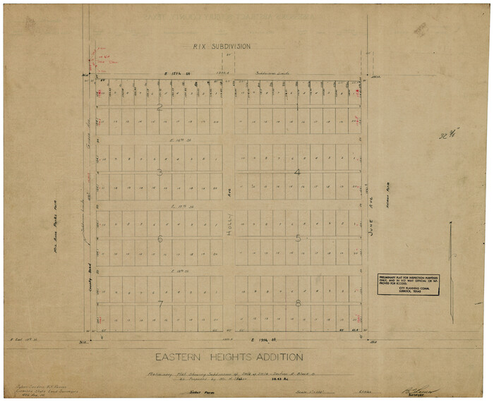
Eastern Heights Addition - Preliminary Plat Showing Subdivision of SW/4 of SW/4 - Sectin 5 Block O as Proposed by Mr. H. Sieber 38.43 Ac.

Print $20.00
- Digital $50.00
Eastern Heights Addition - Preliminary Plat Showing Subdivision of SW/4 of SW/4 - Sectin 5 Block O as Proposed by Mr. H. Sieber 38.43 Ac.
1952
Size 23.8 x 19.8 inches
Map/Doc 92811
[John S. Stephens Blk. S2, Lgs. 174-177, 186-193, 201-209]
![90107, [John S. Stephens Blk. S2, Lgs. 174-177, 186-193, 201-209], Twichell Survey Records](https://historictexasmaps.com/wmedia_w700/maps/90107-1.tif.jpg)
![90107, [John S. Stephens Blk. S2, Lgs. 174-177, 186-193, 201-209], Twichell Survey Records](https://historictexasmaps.com/wmedia_w700/maps/90107-1.tif.jpg)
Print $2.00
- Digital $50.00
[John S. Stephens Blk. S2, Lgs. 174-177, 186-193, 201-209]
1912
Size 11.4 x 9.0 inches
Map/Doc 90107
[Pencil sketch of Wm. Rivers survey]
![91969, [Pencil sketch of Wm. Rivers survey], Twichell Survey Records](https://historictexasmaps.com/wmedia_w700/maps/91969-1.tif.jpg)
![91969, [Pencil sketch of Wm. Rivers survey], Twichell Survey Records](https://historictexasmaps.com/wmedia_w700/maps/91969-1.tif.jpg)
Print $3.00
- Digital $50.00
[Pencil sketch of Wm. Rivers survey]
Size 9.9 x 16.1 inches
Map/Doc 91969
[Block C-41, Sections 32, 35, 35 1/2, and vicinity]
![92569, [Block C-41, Sections 32, 35, 35 1/2, and vicinity], Twichell Survey Records](https://historictexasmaps.com/wmedia_w700/maps/92569-1.tif.jpg)
![92569, [Block C-41, Sections 32, 35, 35 1/2, and vicinity], Twichell Survey Records](https://historictexasmaps.com/wmedia_w700/maps/92569-1.tif.jpg)
Print $20.00
- Digital $50.00
[Block C-41, Sections 32, 35, 35 1/2, and vicinity]
Size 23.8 x 19.4 inches
Map/Doc 92569
You may also like
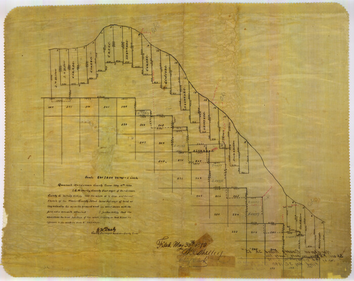
Hardeman County Rolled Sketch 15

Print $20.00
- Digital $50.00
Hardeman County Rolled Sketch 15
1890
Size 18.0 x 23.0 inches
Map/Doc 6072
Val Verde County Sketch File C


Print $62.00
- Digital $50.00
Val Verde County Sketch File C
1898
Size 15.5 x 19.8 inches
Map/Doc 12545
Guadalupe County


Print $20.00
- Digital $50.00
Guadalupe County
1977
Size 36.5 x 47.8 inches
Map/Doc 95515
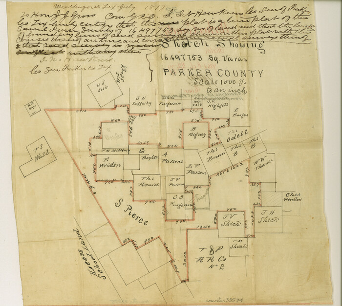
Parker County Sketch File 32

Print $6.00
- Digital $50.00
Parker County Sketch File 32
Size 11.0 x 12.2 inches
Map/Doc 33574
Briscoe County Working Sketch 7
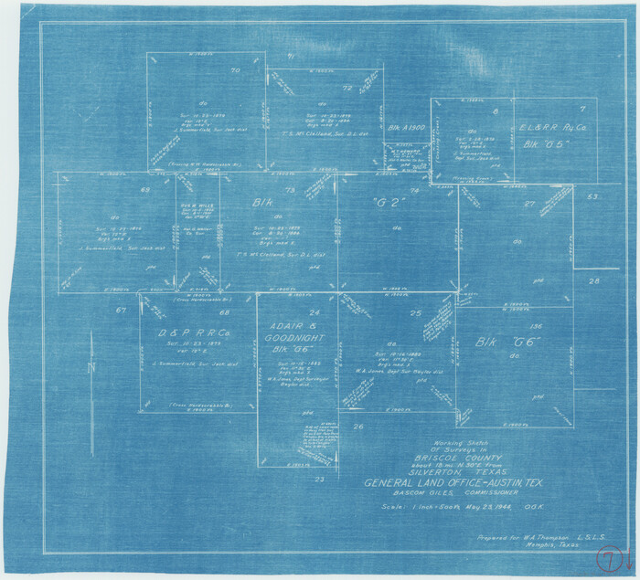

Print $20.00
- Digital $50.00
Briscoe County Working Sketch 7
1944
Size 18.5 x 20.4 inches
Map/Doc 67810
Current Miscellaneous File 72
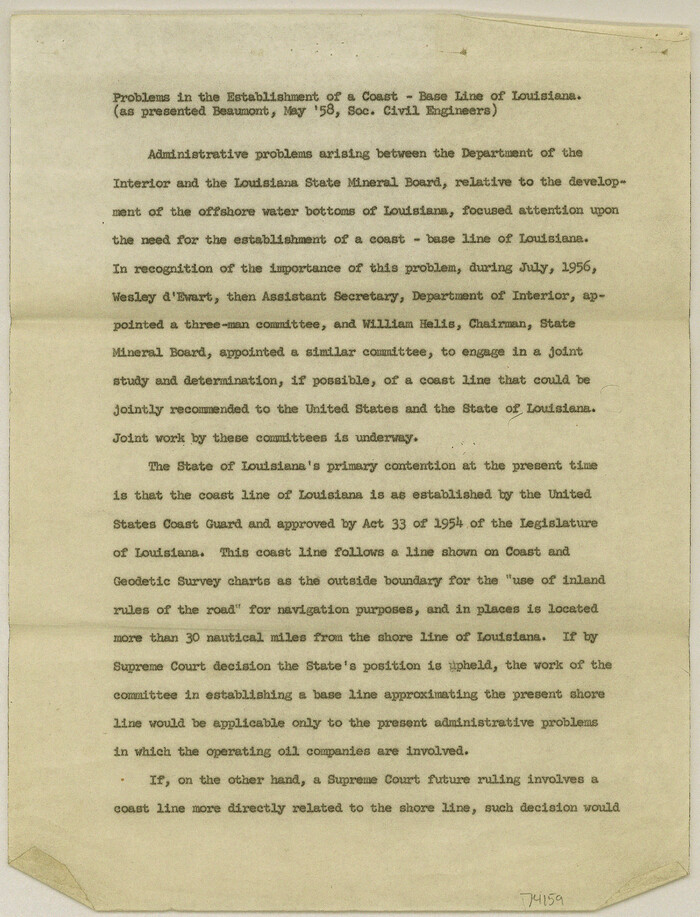

Print $40.00
- Digital $50.00
Current Miscellaneous File 72
Size 10.8 x 8.2 inches
Map/Doc 74159
General Highway Map, Lubbock County, Texas
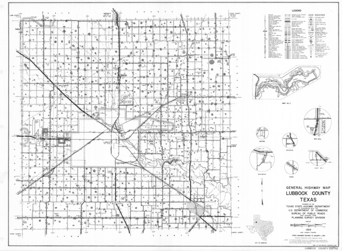

Print $20.00
General Highway Map, Lubbock County, Texas
1961
Size 18.1 x 24.6 inches
Map/Doc 79578
Kenedy & Kleberg Counties, Riviera Beach
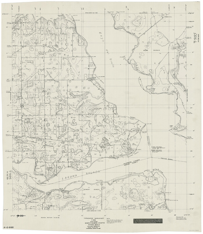

Print $20.00
- Digital $50.00
Kenedy & Kleberg Counties, Riviera Beach
1952
Size 32.6 x 28.1 inches
Map/Doc 73507
Midland County Rolled Sketch 14


Print $20.00
- Digital $50.00
Midland County Rolled Sketch 14
1996
Size 21.3 x 26.7 inches
Map/Doc 6769
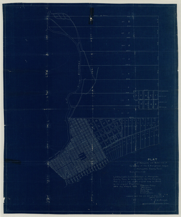
Matagorda County Sketch File 32

Print $20.00
- Digital $50.00
Matagorda County Sketch File 32
1918
Size 36.5 x 30.4 inches
Map/Doc 10531
Bexar County Sketch File 9


Print $4.00
- Digital $50.00
Bexar County Sketch File 9
1853
Size 8.2 x 13.2 inches
Map/Doc 14479
Bexar County Sketch File 1a


Print $24.00
- Digital $50.00
Bexar County Sketch File 1a
1847
Size 12.7 x 8.2 inches
Map/Doc 14468
![91230, [Blocks 5-T, M-23, and vicinity], Twichell Survey Records](https://historictexasmaps.com/wmedia_w1800h1800/maps/91230-1.tif.jpg)