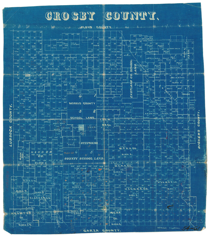
[East Part of Block 37, Township 2 North]
159-25
-
Map/Doc
91395
-
Collection
Twichell Survey Records
-
Counties
Martin
-
Height x Width
9.6 x 17.6 inches
24.4 x 44.7 cm
Part of: Twichell Survey Records
[Leagues 7, 8, 9, and 10]
![92219, [Leagues 7, 8, 9, and 10], Twichell Survey Records](https://historictexasmaps.com/wmedia_w700/maps/92219-1.tif.jpg)
![92219, [Leagues 7, 8, 9, and 10], Twichell Survey Records](https://historictexasmaps.com/wmedia_w700/maps/92219-1.tif.jpg)
Print $20.00
- Digital $50.00
[Leagues 7, 8, 9, and 10]
1943
Size 20.6 x 12.5 inches
Map/Doc 92219
Sketch in Southeastern Portion of Stephens County


Print $20.00
- Digital $50.00
Sketch in Southeastern Portion of Stephens County
1919
Size 29.0 x 21.7 inches
Map/Doc 91841
[Part of Block GG]
![90314, [Part of Block GG], Twichell Survey Records](https://historictexasmaps.com/wmedia_w700/maps/90314-1.tif.jpg)
![90314, [Part of Block GG], Twichell Survey Records](https://historictexasmaps.com/wmedia_w700/maps/90314-1.tif.jpg)
Print $20.00
- Digital $50.00
[Part of Block GG]
Size 15.2 x 21.5 inches
Map/Doc 90314
Map of N. W. Portion Blk G. Gaines Co.


Print $20.00
- Digital $50.00
Map of N. W. Portion Blk G. Gaines Co.
1914
Size 37.4 x 26.7 inches
Map/Doc 90867
[Sketch of surveys in the vicinity of sections 171 and 172 along Pedernales]
![91882, [Sketch of surveys in the vicinity of sections 171 and 172 along Pedernales], Twichell Survey Records](https://historictexasmaps.com/wmedia_w700/maps/91882-1.tif.jpg)
![91882, [Sketch of surveys in the vicinity of sections 171 and 172 along Pedernales], Twichell Survey Records](https://historictexasmaps.com/wmedia_w700/maps/91882-1.tif.jpg)
Print $20.00
- Digital $50.00
[Sketch of surveys in the vicinity of sections 171 and 172 along Pedernales]
Size 17.2 x 12.9 inches
Map/Doc 91882
[3KA and vicinity]
![90847, [3KA and vicinity], Twichell Survey Records](https://historictexasmaps.com/wmedia_w700/maps/90847-2.tif.jpg)
![90847, [3KA and vicinity], Twichell Survey Records](https://historictexasmaps.com/wmedia_w700/maps/90847-2.tif.jpg)
Print $20.00
- Digital $50.00
[3KA and vicinity]
Size 31.3 x 15.4 inches
Map/Doc 90847
[Sketch of part of G. & M. Block 5]
![93076, [Sketch of part of G. & M. Block 5], Twichell Survey Records](https://historictexasmaps.com/wmedia_w700/maps/93076-1.tif.jpg)
![93076, [Sketch of part of G. & M. Block 5], Twichell Survey Records](https://historictexasmaps.com/wmedia_w700/maps/93076-1.tif.jpg)
Print $20.00
- Digital $50.00
[Sketch of part of G. & M. Block 5]
Size 30.4 x 16.3 inches
Map/Doc 93076
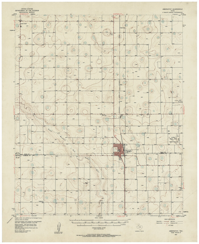
Abernathy Quadrangle

Print $20.00
- Digital $50.00
Abernathy Quadrangle
Size 17.6 x 21.4 inches
Map/Doc 92813
Section 10, Block Z, Cochran County, Texas


Print $20.00
- Digital $50.00
Section 10, Block Z, Cochran County, Texas
1952
Size 12.2 x 17.0 inches
Map/Doc 92521
[Sketch showing B. S. & F. survey 9, sections 162, 163, 178, 179 in town of Bush]
![91728, [Sketch showing B. S. & F. survey 9, sections 162, 163, 178, 179 in town of Bush], Twichell Survey Records](https://historictexasmaps.com/wmedia_w700/maps/91728-1.tif.jpg)
![91728, [Sketch showing B. S. & F. survey 9, sections 162, 163, 178, 179 in town of Bush], Twichell Survey Records](https://historictexasmaps.com/wmedia_w700/maps/91728-1.tif.jpg)
Print $20.00
- Digital $50.00
[Sketch showing B. S. & F. survey 9, sections 162, 163, 178, 179 in town of Bush]
Size 12.0 x 16.1 inches
Map/Doc 91728
[Leagues 571- 575, 578- 583, 603- 609, and Surrounding Surveys]
![91065, [Leagues 571- 575, 578- 583, 603- 609, and Surrounding Surveys], Twichell Survey Records](https://historictexasmaps.com/wmedia_w700/maps/91065-1.tif.jpg)
![91065, [Leagues 571- 575, 578- 583, 603- 609, and Surrounding Surveys], Twichell Survey Records](https://historictexasmaps.com/wmedia_w700/maps/91065-1.tif.jpg)
Print $20.00
- Digital $50.00
[Leagues 571- 575, 578- 583, 603- 609, and Surrounding Surveys]
Size 43.2 x 12.5 inches
Map/Doc 91065
You may also like
Maverick County Sketch File 15


Print $8.00
- Digital $50.00
Maverick County Sketch File 15
Size 14.2 x 8.6 inches
Map/Doc 31113
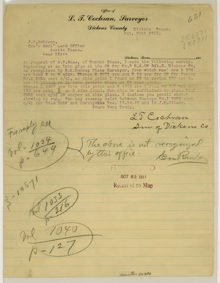
Dickens County Sketch File 20

Print $2.00
- Digital $50.00
Dickens County Sketch File 20
1911
Size 11.5 x 8.9 inches
Map/Doc 20984
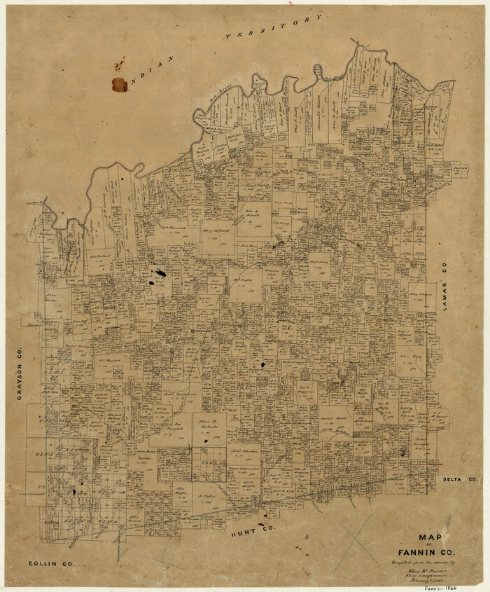
Map of Fannin County

Print $20.00
- Digital $50.00
Map of Fannin County
1866
Size 21.9 x 18.1 inches
Map/Doc 3534
Harrison County Sketch File 19


Print $20.00
- Digital $50.00
Harrison County Sketch File 19
1954
Size 25.0 x 21.7 inches
Map/Doc 11692
[Sections 47-76 and part of Block 3]
![91807, [Sections 47-76 and part of Block 3], Twichell Survey Records](https://historictexasmaps.com/wmedia_w700/maps/91807-1.tif.jpg)
![91807, [Sections 47-76 and part of Block 3], Twichell Survey Records](https://historictexasmaps.com/wmedia_w700/maps/91807-1.tif.jpg)
Print $20.00
- Digital $50.00
[Sections 47-76 and part of Block 3]
Size 34.1 x 31.7 inches
Map/Doc 91807
The Republic County of Robertson. January 30, 1841


Print $20.00
The Republic County of Robertson. January 30, 1841
2020
Size 16.9 x 21.7 inches
Map/Doc 96261
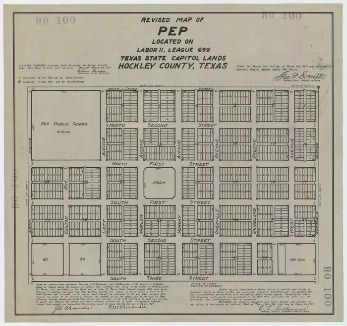
Revised Map of Pep Located on Labor 11, League 699 Texas State Capitol Lands Hockley County, Texas

Print $20.00
- Digital $50.00
Revised Map of Pep Located on Labor 11, League 699 Texas State Capitol Lands Hockley County, Texas
1927
Size 16.9 x 15.7 inches
Map/Doc 92204
Sketch in Crockett County [UT Blk. 31, 32, 46, 51, Blks. UV, ST, QR, MN]
![89677, Sketch in Crockett County [UT Blk. 31, 32, 46, 51, Blks. UV, ST, QR, MN], Twichell Survey Records](https://historictexasmaps.com/wmedia_w700/maps/89677-1.tif.jpg)
![89677, Sketch in Crockett County [UT Blk. 31, 32, 46, 51, Blks. UV, ST, QR, MN], Twichell Survey Records](https://historictexasmaps.com/wmedia_w700/maps/89677-1.tif.jpg)
Print $40.00
- Digital $50.00
Sketch in Crockett County [UT Blk. 31, 32, 46, 51, Blks. UV, ST, QR, MN]
1913
Size 33.7 x 48.0 inches
Map/Doc 89677
Hartley County Sketch File 8


Print $20.00
- Digital $50.00
Hartley County Sketch File 8
Size 23.9 x 19.1 inches
Map/Doc 11699
Lamar County Sketch File 3


Print $6.00
- Digital $50.00
Lamar County Sketch File 3
1864
Size 14.2 x 8.6 inches
Map/Doc 29275
Bastrop County Working Sketch 12


Print $40.00
- Digital $50.00
Bastrop County Working Sketch 12
1978
Size 44.1 x 54.3 inches
Map/Doc 67312
[Blocks 178, 194, Z]
![91579, [Blocks 178, 194, Z], Twichell Survey Records](https://historictexasmaps.com/wmedia_w700/maps/91579-1.tif.jpg)
![91579, [Blocks 178, 194, Z], Twichell Survey Records](https://historictexasmaps.com/wmedia_w700/maps/91579-1.tif.jpg)
Print $3.00
- Digital $50.00
[Blocks 178, 194, Z]
Size 12.8 x 10.5 inches
Map/Doc 91579
![91395, [East Part of Block 37, Township 2 North], Twichell Survey Records](https://historictexasmaps.com/wmedia_w1800h1800/maps/91395-1.tif.jpg)
