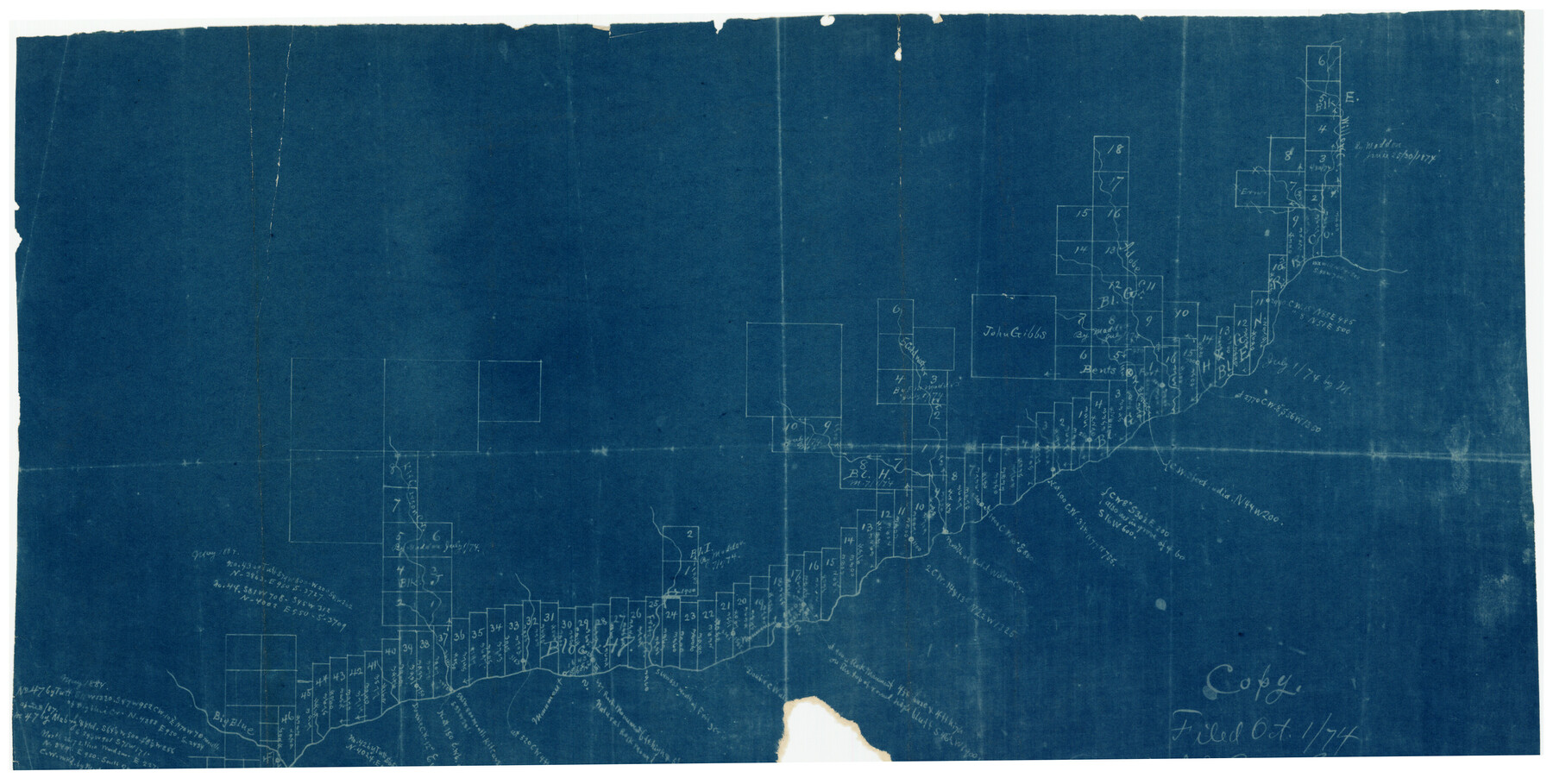
H. & T. C. Block 47, Sections 1-50; Block E, Sections 1-16; Block G, Sections 1-14
117-78
-
Map/Doc
91173
-
Collection
Twichell Survey Records
-
Counties
Hutchinson
-
Height x Width
21.5 x 10.3 inches
54.6 x 26.2 cm
Part of: Twichell Survey Records
Sketch Showing Boundary Between Randall and Deaf Smith Counties

Print $20.00
- Digital $50.00
Sketch Showing Boundary Between Randall and Deaf Smith Counties
Size 13.4 x 33.3 inches
Map/Doc 91832
Famous Heights Park Addition, Map Showing Proposed Park and Plan of Subdividing Famous Heights Plus Park, Addition to the city of Amarillo, Texas

Print $40.00
- Digital $50.00
Famous Heights Park Addition, Map Showing Proposed Park and Plan of Subdividing Famous Heights Plus Park, Addition to the city of Amarillo, Texas
1907
Size 62.5 x 37.4 inches
Map/Doc 93117
[Sketch highlighting Bob Reid and Fred Turner surveys]
![91692, [Sketch highlighting Bob Reid and Fred Turner surveys], Twichell Survey Records](https://historictexasmaps.com/wmedia_w700/maps/91692-1.tif.jpg)
Print $2.00
- Digital $50.00
[Sketch highlighting Bob Reid and Fred Turner surveys]
Size 5.9 x 7.6 inches
Map/Doc 91692
Map of Parts of Dawson and Borden Counties

Print $20.00
- Digital $50.00
Map of Parts of Dawson and Borden Counties
Size 23.0 x 17.7 inches
Map/Doc 90627
[Sections 5 through 34]
![92480, [Sections 5 through 34], Twichell Survey Records](https://historictexasmaps.com/wmedia_w700/maps/92480-1.tif.jpg)
Print $20.00
- Digital $50.00
[Sections 5 through 34]
Size 23.9 x 19.4 inches
Map/Doc 92480
[Sketch showing B. H. Epperson, Mary Fury and H. Rodgers surveys and vicinity]
![93069, [Sketch showing B. H. Epperson, Mary Fury and H. Rodgers surveys and vicinity], Twichell Survey Records](https://historictexasmaps.com/wmedia_w700/maps/93069-1.tif.jpg)
Print $20.00
- Digital $50.00
[Sketch showing B. H. Epperson, Mary Fury and H. Rodgers surveys and vicinity]
1919
Size 10.7 x 21.5 inches
Map/Doc 93069
[G. C. & S. F. RR. Co. Block UV, and parts of University Land Blocks 51 and 46]
![90311, [G. C. & S. F. RR. Co. Block UV, and parts of University Land Blocks 51 and 46], Twichell Survey Records](https://historictexasmaps.com/wmedia_w700/maps/90311-1.tif.jpg)
Print $20.00
- Digital $50.00
[G. C. & S. F. RR. Co. Block UV, and parts of University Land Blocks 51 and 46]
Size 15.4 x 21.8 inches
Map/Doc 90311
Englewood Cemetery Slaton, Texas

Print $20.00
- Digital $50.00
Englewood Cemetery Slaton, Texas
1947
Size 24.4 x 35.2 inches
Map/Doc 92838
Hutchinson County

Print $20.00
- Digital $50.00
Hutchinson County
1922
Size 14.8 x 17.9 inches
Map/Doc 92168


The Texas Co-Ordinate System, Title 86 Article 5300A.

Print $20.00
- Digital $50.00
The Texas Co-Ordinate System, Title 86 Article 5300A.
Size 30.8 x 28.4 inches
Map/Doc 92824
You may also like
Harrison County Working Sketch 1

Print $20.00
- Digital $50.00
Harrison County Working Sketch 1
1919
Size 22.6 x 25.6 inches
Map/Doc 66021
Tom Green County Sketch File 35

Print $6.00
- Digital $50.00
Tom Green County Sketch File 35
Size 10.2 x 15.9 inches
Map/Doc 38192
Upton County Rolled Sketch 36

Print $40.00
- Digital $50.00
Upton County Rolled Sketch 36
1952
Size 42.9 x 64.2 inches
Map/Doc 10051
Montgomery County Working Sketch 16

Print $20.00
- Digital $50.00
Montgomery County Working Sketch 16
1934
Size 28.9 x 33.7 inches
Map/Doc 71123
Map of Hopkins Co.

Print $20.00
- Digital $50.00
Map of Hopkins Co.
1885
Size 36.6 x 38.7 inches
Map/Doc 4982
Nora Subdivision in NE 1/4 Section 8, Block B

Print $20.00
- Digital $50.00
Nora Subdivision in NE 1/4 Section 8, Block B
1950
Size 12.2 x 18.0 inches
Map/Doc 92309
Right of Way and Track Map International & Gt. Northern Ry. operated by the International & Gt. Northern Ry. Co., Columbia Branch, Gulf Division

Print $40.00
- Digital $50.00
Right of Way and Track Map International & Gt. Northern Ry. operated by the International & Gt. Northern Ry. Co., Columbia Branch, Gulf Division
1917
Size 25.1 x 56.4 inches
Map/Doc 64596
Montgomery County Sketch File 4

Print $8.00
- Digital $50.00
Montgomery County Sketch File 4
1854
Size 12.0 x 8.1 inches
Map/Doc 31775
Flight Mission No. BRE-1P, Frame 10, Nueces County

Print $20.00
- Digital $50.00
Flight Mission No. BRE-1P, Frame 10, Nueces County
1956
Size 18.4 x 22.5 inches
Map/Doc 86618
Classification of Land Uses in Texas by Counties

Print $20.00
Classification of Land Uses in Texas by Counties
1935
Size 35.6 x 46.1 inches
Map/Doc 76310
Duval County Sketch File 6c

Print $5.00
- Digital $50.00
Duval County Sketch File 6c
1875
Size 8.2 x 11.0 inches
Map/Doc 21292
Map Prepared from Data by Original Field Book by W.D. Twichell

Print $40.00
- Digital $50.00
Map Prepared from Data by Original Field Book by W.D. Twichell
Size 64.0 x 40.0 inches
Map/Doc 89733