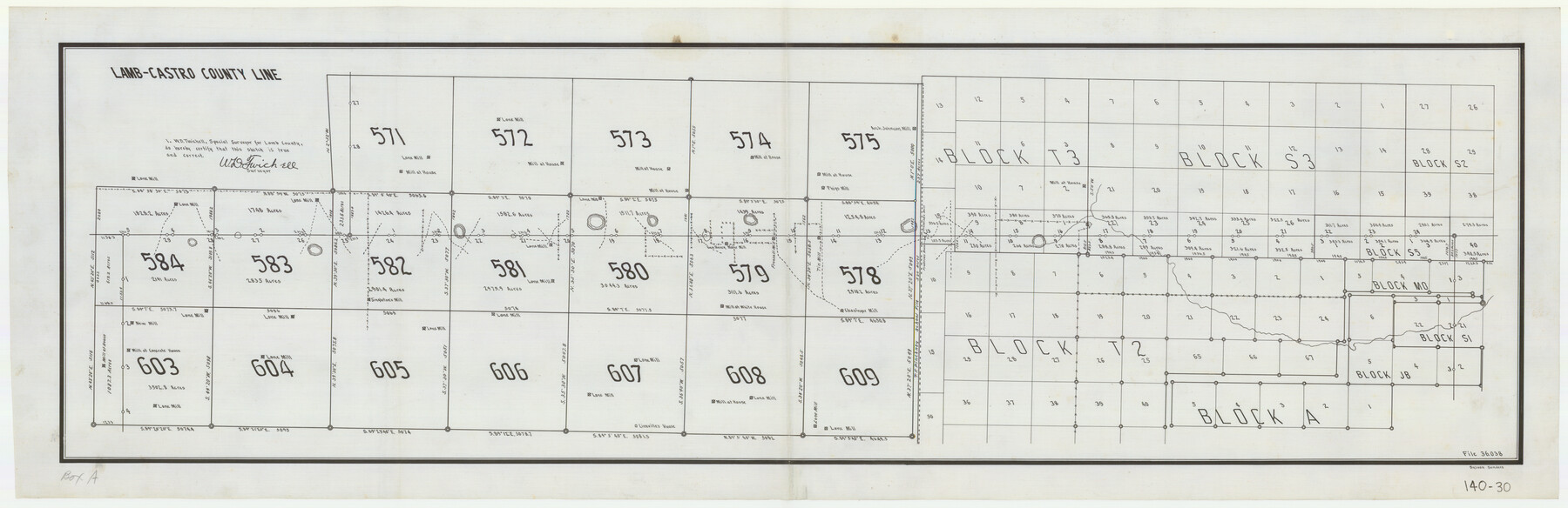
Lamb-Castro County Line
140-30
-
Map/Doc
91059
-
Collection
Twichell Survey Records
-
People and Organizations
W.D. Twichell (Surveyor/Engineer)
-
Counties
Lamb Castro
-
Height x Width
45.2 x 14.8 inches
114.8 x 37.6 cm
Part of: Twichell Survey Records
Dallam County

Print $20.00
- Digital $50.00
Dallam County
1888
Size 29.4 x 23.9 inches
Map/Doc 90641
[Sutton, Hale & Ector Co. School Land]
![90103, [Sutton, Hale & Ector Co. School Land], Twichell Survey Records](https://historictexasmaps.com/wmedia_w700/maps/90103-1.tif.jpg)
Print $3.00
- Digital $50.00
[Sutton, Hale & Ector Co. School Land]
Size 9.8 x 16.7 inches
Map/Doc 90103
Sketch from Ward and Crane Counties

Print $20.00
- Digital $50.00
Sketch from Ward and Crane Counties
Size 42.9 x 23.6 inches
Map/Doc 92557
[Blocks T2, T3, and K13]
![90997, [Blocks T2, T3, and K13], Twichell Survey Records](https://historictexasmaps.com/wmedia_w700/maps/90997-1.tif.jpg)
Print $20.00
- Digital $50.00
[Blocks T2, T3, and K13]
Size 20.7 x 19.9 inches
Map/Doc 90997

[T. & P. Block 36, Townships 1N - 5N]
![93132, [T. & P. Block 36, Townships 1N - 5N], Twichell Survey Records](https://historictexasmaps.com/wmedia_w700/maps/93132-1.tif.jpg)
Print $40.00
- Digital $50.00
[T. & P. Block 36, Townships 1N - 5N]
Size 21.3 x 87.8 inches
Map/Doc 93132
Land for Sale or Lease in Garza and Crosby County, 13 miles S 10° W from center of Crosby County

Print $2.00
- Digital $50.00
Land for Sale or Lease in Garza and Crosby County, 13 miles S 10° W from center of Crosby County
Size 9.0 x 14.3 inches
Map/Doc 90367
[Adams Beaty & Moulton Block 2] / Map of Heller's Addition to Canyon City
![92120, [Adams Beaty & Moulton Block 2] / Map of Heller's Addition to Canyon City, Twichell Survey Records](https://historictexasmaps.com/wmedia_w700/maps/92120-1.tif.jpg)
Print $20.00
- Digital $50.00
[Adams Beaty & Moulton Block 2] / Map of Heller's Addition to Canyon City
1898
Size 22.7 x 24.9 inches
Map/Doc 92120
Soash-White Industrial Properties

Print $20.00
- Digital $50.00
Soash-White Industrial Properties
Size 37.4 x 24.9 inches
Map/Doc 92776
[Washington County RR. Co. Block 1 and Cherokee Iron Furnace Co. Block 1]
![92065, [Washington County RR. Co. Block 1 and Cherokee Iron Furnace Co. Block 1], Twichell Survey Records](https://historictexasmaps.com/wmedia_w700/maps/92065-1.tif.jpg)
Print $20.00
- Digital $50.00
[Washington County RR. Co. Block 1 and Cherokee Iron Furnace Co. Block 1]
1911
Size 22.4 x 25.4 inches
Map/Doc 92065
Map of the Survey of the 100th Meridian of Longitude west of Greenwich beginning at Red River and extending to the parallel 36 1/2 degrees north latitude

Print $40.00
- Digital $50.00
Map of the Survey of the 100th Meridian of Longitude west of Greenwich beginning at Red River and extending to the parallel 36 1/2 degrees north latitude
Size 11.4 x 111.7 inches
Map/Doc 93191
Section 39 Block Y

Print $20.00
- Digital $50.00
Section 39 Block Y
Size 23.9 x 19.4 inches
Map/Doc 92463
You may also like
The United States of America

Print $20.00
- Digital $50.00
The United States of America
1866
Size 21.3 x 18.3 inches
Map/Doc 72646
[Surveys in Power and Hewetson's Colony along the Aransas River, Middle Creek, Papalose Creek, and Blanco Creek]
![81, [Surveys in Power and Hewetson's Colony along the Aransas River, Middle Creek, Papalose Creek, and Blanco Creek], General Map Collection](https://historictexasmaps.com/wmedia_w700/maps/81.tif.jpg)
Print $20.00
- Digital $50.00
[Surveys in Power and Hewetson's Colony along the Aransas River, Middle Creek, Papalose Creek, and Blanco Creek]
1830
Size 21.6 x 21.2 inches
Map/Doc 81
Nueces County Working Sketch 8

Print $20.00
- Digital $50.00
Nueces County Working Sketch 8
1965
Size 20.3 x 23.8 inches
Map/Doc 71310
Crockett County Sketch File 75

Print $20.00
- Digital $50.00
Crockett County Sketch File 75
Size 26.3 x 28.8 inches
Map/Doc 11234
Shackelford County Boundary File 7a

Print $9.00
- Digital $50.00
Shackelford County Boundary File 7a
Size 14.9 x 9.4 inches
Map/Doc 58689
Dimmit County Sketch File 17

Print $15.00
- Digital $50.00
Dimmit County Sketch File 17
1886
Size 11.0 x 13.7 inches
Map/Doc 21081
San Jacinto County Working Sketch 12

Print $20.00
- Digital $50.00
San Jacinto County Working Sketch 12
Size 33.4 x 37.3 inches
Map/Doc 63725
Bravo Ranch situated in Hartley and Oldham Counties, Texas

Print $40.00
- Digital $50.00
Bravo Ranch situated in Hartley and Oldham Counties, Texas
Size 38.8 x 51.3 inches
Map/Doc 89930
Fair View Heights Addition to City of Lubbock Located on Survey 80, Blk. A

Print $20.00
- Digital $50.00
Fair View Heights Addition to City of Lubbock Located on Survey 80, Blk. A
Size 16.8 x 21.1 inches
Map/Doc 92760
Crosby County Boundary File 1

Print $20.00
- Digital $50.00
Crosby County Boundary File 1
Size 7.4 x 4.1 inches
Map/Doc 51971
General Highway Map. Detail of Cities and Towns in Navarro County, Texas

Print $20.00
General Highway Map. Detail of Cities and Towns in Navarro County, Texas
1961
Size 19.3 x 25.0 inches
Map/Doc 79611
Young County Sketch File 3

Print $4.00
- Digital $50.00
Young County Sketch File 3
1854
Size 12.3 x 8.2 inches
Map/Doc 40847