[Blocks T1, T2, T3, and Vicinity]
140-10
-
Map/Doc
90982
-
Collection
Twichell Survey Records
-
Counties
Lamb
-
Height x Width
30.6 x 32.7 inches
77.7 x 83.1 cm
Part of: Twichell Survey Records
[Southwest Portion of Glasscock County]
![90765, [Southwest Portion of Glasscock County], Twichell Survey Records](https://historictexasmaps.com/wmedia_w700/maps/90765-1.tif.jpg)
![90765, [Southwest Portion of Glasscock County], Twichell Survey Records](https://historictexasmaps.com/wmedia_w700/maps/90765-1.tif.jpg)
Print $20.00
- Digital $50.00
[Southwest Portion of Glasscock County]
Size 18.7 x 20.9 inches
Map/Doc 90765
[H. & G. N. RR. Co. Block 1]
![90892, [H. & G. N. RR. Co. Block 1], Twichell Survey Records](https://historictexasmaps.com/wmedia_w700/maps/90892-1.tif.jpg)
![90892, [H. & G. N. RR. Co. Block 1], Twichell Survey Records](https://historictexasmaps.com/wmedia_w700/maps/90892-1.tif.jpg)
Print $20.00
- Digital $50.00
[H. & G. N. RR. Co. Block 1]
1902
Size 14.9 x 15.8 inches
Map/Doc 90892
Whitehead Second Addition, City of Lubbock


Print $20.00
- Digital $50.00
Whitehead Second Addition, City of Lubbock
1951
Size 14.1 x 24.0 inches
Map/Doc 92778
[SE Pt. of Stephens County]
![89639, [SE Pt. of Stephens County], Twichell Survey Records](https://historictexasmaps.com/wmedia_w700/maps/89639-1.tif.jpg)
![89639, [SE Pt. of Stephens County], Twichell Survey Records](https://historictexasmaps.com/wmedia_w700/maps/89639-1.tif.jpg)
Print $20.00
- Digital $50.00
[SE Pt. of Stephens County]
Size 38.1 x 35.9 inches
Map/Doc 89639
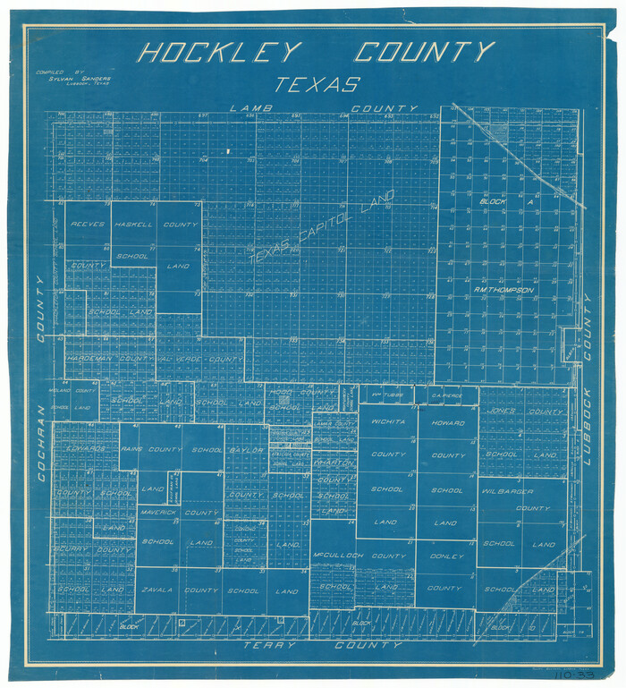
Hockley County, Texas

Print $20.00
- Digital $50.00
Hockley County, Texas
Size 34.0 x 37.4 inches
Map/Doc 91200
[Portions of Blocks 3T, G. & M. Block 3, Block 47, and Block J]
![91522, [Portions of Blocks 3T, G. & M. Block 3, Block 47, and Block J], Twichell Survey Records](https://historictexasmaps.com/wmedia_w700/maps/91522-1.tif.jpg)
![91522, [Portions of Blocks 3T, G. & M. Block 3, Block 47, and Block J], Twichell Survey Records](https://historictexasmaps.com/wmedia_w700/maps/91522-1.tif.jpg)
Print $20.00
- Digital $50.00
[Portions of Blocks 3T, G. & M. Block 3, Block 47, and Block J]
Size 16.0 x 23.1 inches
Map/Doc 91522
Sketch Showing Original Corners and Connections Affecting Blocks T1, T2, and T3 in Lamb and Castro Counties, Texas


Print $20.00
- Digital $50.00
Sketch Showing Original Corners and Connections Affecting Blocks T1, T2, and T3 in Lamb and Castro Counties, Texas
Size 17.7 x 30.6 inches
Map/Doc 92199
[Sketch highlighting Bob Reid and Fred Turner surveys]
![91694, [Sketch highlighting Bob Reid and Fred Turner surveys], Twichell Survey Records](https://historictexasmaps.com/wmedia_w700/maps/91694-1.tif.jpg)
![91694, [Sketch highlighting Bob Reid and Fred Turner surveys], Twichell Survey Records](https://historictexasmaps.com/wmedia_w700/maps/91694-1.tif.jpg)
Print $20.00
- Digital $50.00
[Sketch highlighting Bob Reid and Fred Turner surveys]
Size 12.5 x 17.6 inches
Map/Doc 91694
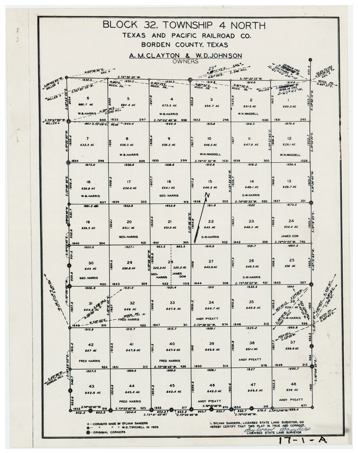
Block 32, Township 4 North, Texas and Pacific Railroad Co., Borden County, Texas

Print $2.00
- Digital $50.00
Block 32, Township 4 North, Texas and Pacific Railroad Co., Borden County, Texas
Size 9.1 x 11.6 inches
Map/Doc 90141
Bray Subdivision and McElroy Subdivision


Print $20.00
- Digital $50.00
Bray Subdivision and McElroy Subdivision
Size 19.3 x 25.2 inches
Map/Doc 92746
[Letter from T. F. Pinckney to W. D. Twichell accompanying sketch showing Blocks 14, 341, and G5]
![93111, [Letter from T. F. Pinckney to W. D. Twichell accompanying sketch showing Blocks 14, 341, and G5], Twichell Survey Records](https://historictexasmaps.com/wmedia_w700/maps/93111-1.tif.jpg)
![93111, [Letter from T. F. Pinckney to W. D. Twichell accompanying sketch showing Blocks 14, 341, and G5], Twichell Survey Records](https://historictexasmaps.com/wmedia_w700/maps/93111-1.tif.jpg)
Print $2.00
- Digital $50.00
[Letter from T. F. Pinckney to W. D. Twichell accompanying sketch showing Blocks 14, 341, and G5]
Size 15.1 x 7.9 inches
Map/Doc 93111
[River Sections 58-62 and vicinity]
![91587, [River Sections 58-62 and vicinity], Twichell Survey Records](https://historictexasmaps.com/wmedia_w700/maps/91587-1.tif.jpg)
![91587, [River Sections 58-62 and vicinity], Twichell Survey Records](https://historictexasmaps.com/wmedia_w700/maps/91587-1.tif.jpg)
Print $20.00
- Digital $50.00
[River Sections 58-62 and vicinity]
Size 17.6 x 14.6 inches
Map/Doc 91587
You may also like
Kinney County Working Sketch 34


Print $20.00
- Digital $50.00
Kinney County Working Sketch 34
1963
Size 23.0 x 26.9 inches
Map/Doc 70216
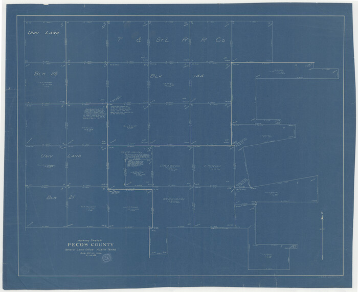
Pecos County Working Sketch 24

Print $20.00
- Digital $50.00
Pecos County Working Sketch 24
1928
Size 26.9 x 33.0 inches
Map/Doc 71495
Hudspeth County Sketch File 37


Print $80.00
- Digital $50.00
Hudspeth County Sketch File 37
Size 12.5 x 98.3 inches
Map/Doc 27008
Frio County Sketch File 1


Print $8.00
- Digital $50.00
Frio County Sketch File 1
1848
Size 8.6 x 7.7 inches
Map/Doc 23101
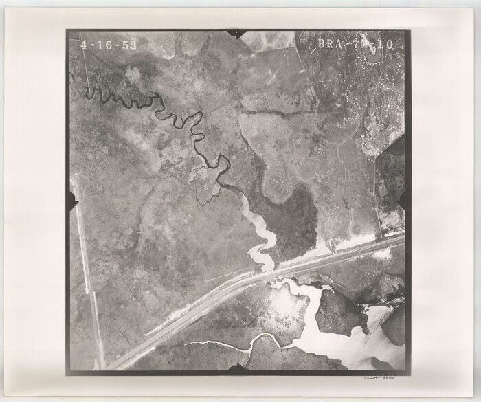
Flight Mission No. BRA-7M, Frame 10, Jefferson County

Print $20.00
- Digital $50.00
Flight Mission No. BRA-7M, Frame 10, Jefferson County
1953
Size 18.7 x 22.4 inches
Map/Doc 85461
Highland Place an Addition to City of Lubbock - Plat of Lots and Street


Print $20.00
- Digital $50.00
Highland Place an Addition to City of Lubbock - Plat of Lots and Street
Size 26.0 x 18.1 inches
Map/Doc 92843
[Map Showing Surveys in Liberty, Chambers and Harris Counties, Texas]
![75768, [Map Showing Surveys in Liberty, Chambers and Harris Counties, Texas], Maddox Collection](https://historictexasmaps.com/wmedia_w700/maps/75768.tif.jpg)
![75768, [Map Showing Surveys in Liberty, Chambers and Harris Counties, Texas], Maddox Collection](https://historictexasmaps.com/wmedia_w700/maps/75768.tif.jpg)
Print $20.00
- Digital $50.00
[Map Showing Surveys in Liberty, Chambers and Harris Counties, Texas]
1890
Size 16.1 x 21.1 inches
Map/Doc 75768
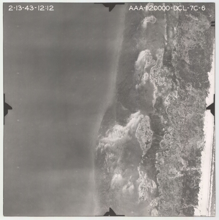
Flight Mission No. DCL-7C, Frame 6, Kenedy County

Print $20.00
- Digital $50.00
Flight Mission No. DCL-7C, Frame 6, Kenedy County
1943
Size 15.5 x 15.4 inches
Map/Doc 85998
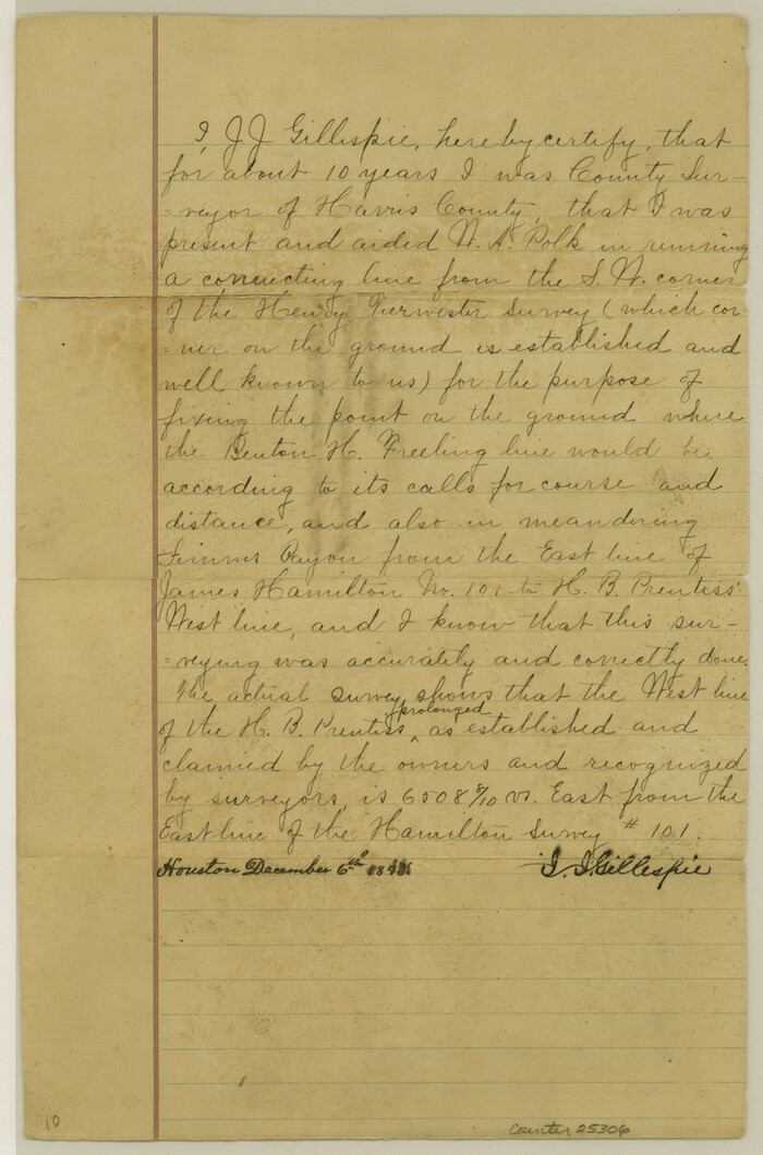
Harris County Sketch File A

Print $4.00
- Digital $50.00
Harris County Sketch File A
1898
Size 12.8 x 8.5 inches
Map/Doc 25306
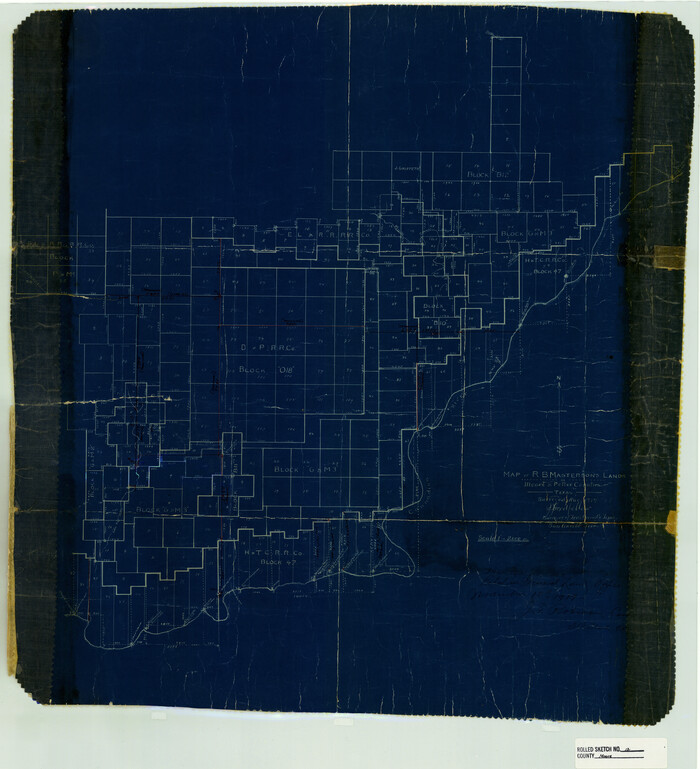
Moore County Rolled Sketch 12

Print $20.00
- Digital $50.00
Moore County Rolled Sketch 12
Size 24.9 x 22.7 inches
Map/Doc 6828
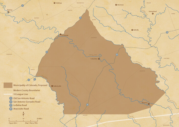
The Mexican Municipality of Colorado. Petition, December 30. 1835

Print $20.00
The Mexican Municipality of Colorado. Petition, December 30. 1835
2020
Size 15.4 x 21.6 inches
Map/Doc 96018
![90982, [Blocks T1, T2, T3, and Vicinity], Twichell Survey Records](https://historictexasmaps.com/wmedia_w1800h1800/maps/90982-1.tif.jpg)
