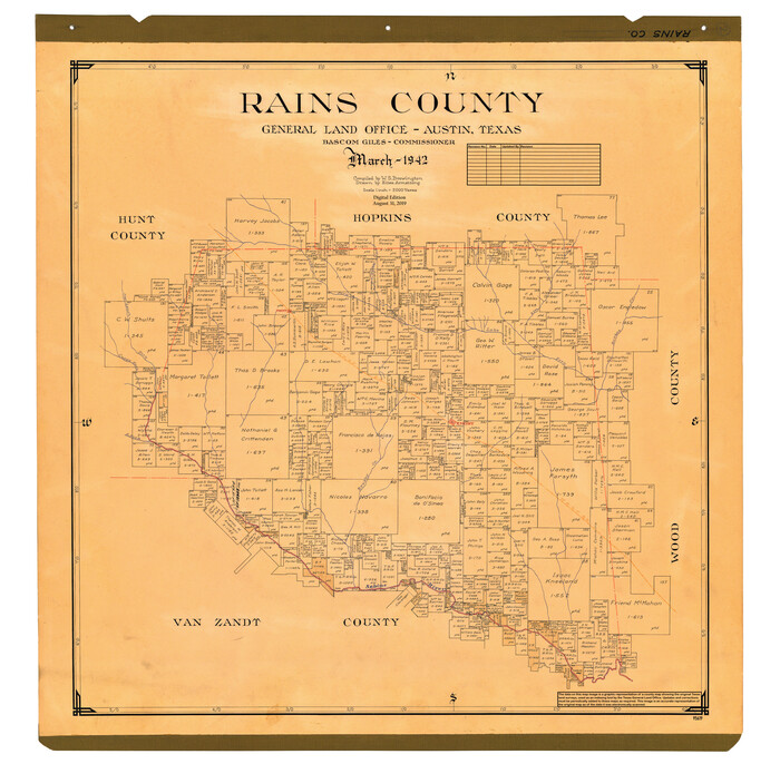
[McLennan County School Leagues 3 and 4, Elizabeth Finley, Wm. Van Norman, Harvey Kendrick surveys and surveys to the west]
67-13
-
Map/Doc
90929
-
Collection
Twichell Survey Records
-
Counties
Eastland
-
Height x Width
19.5 x 26.7 inches
49.5 x 67.8 cm
Part of: Twichell Survey Records
[Block RG, Block C, San Augustine School Land]
![92863, [Block RG, Block C, San Augustine School Land], Twichell Survey Records](https://historictexasmaps.com/wmedia_w700/maps/92863-1.tif.jpg)
![92863, [Block RG, Block C, San Augustine School Land], Twichell Survey Records](https://historictexasmaps.com/wmedia_w700/maps/92863-1.tif.jpg)
Print $20.00
- Digital $50.00
[Block RG, Block C, San Augustine School Land]
Size 32.8 x 38.7 inches
Map/Doc 92863
[Block M, Block 35, Township 6 North]
![92634, [Block M, Block 35, Township 6 North], Twichell Survey Records](https://historictexasmaps.com/wmedia_w700/maps/92634-1.tif.jpg)
![92634, [Block M, Block 35, Township 6 North], Twichell Survey Records](https://historictexasmaps.com/wmedia_w700/maps/92634-1.tif.jpg)
Print $20.00
- Digital $50.00
[Block M, Block 35, Township 6 North]
Size 37.5 x 27.3 inches
Map/Doc 92634
[Block K5, Section 13]
![91452, [Block K5, Section 13], Twichell Survey Records](https://historictexasmaps.com/wmedia_w700/maps/91452-1.tif.jpg)
![91452, [Block K5, Section 13], Twichell Survey Records](https://historictexasmaps.com/wmedia_w700/maps/91452-1.tif.jpg)
Print $20.00
- Digital $50.00
[Block K5, Section 13]
Size 22.2 x 18.5 inches
Map/Doc 91452
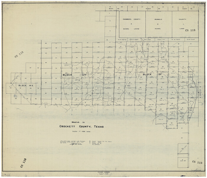
Sketch in Crockett County, Texas

Print $20.00
- Digital $50.00
Sketch in Crockett County, Texas
Size 39.5 x 34.1 inches
Map/Doc 92555
Map of North Meadow Located on S. Part SE 1/4 Section


Print $20.00
- Digital $50.00
Map of North Meadow Located on S. Part SE 1/4 Section
Size 11.6 x 21.0 inches
Map/Doc 92284
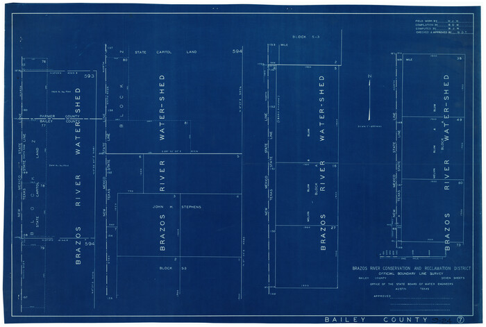
Brazos River Conservation and Reclamation District Official Boundary Line Survey

Print $20.00
- Digital $50.00
Brazos River Conservation and Reclamation District Official Boundary Line Survey
Size 37.0 x 25.0 inches
Map/Doc 90130
[Meander of Yellow House Creek from Northeast Corner of Section 37, Block S to Northeast corner of Section 3, Block O]
![91387, [Meander of Yellow House Creek from Northeast Corner of Section 37, Block S to Northeast corner of Section 3, Block O], Twichell Survey Records](https://historictexasmaps.com/wmedia_w700/maps/91387-1.tif.jpg)
![91387, [Meander of Yellow House Creek from Northeast Corner of Section 37, Block S to Northeast corner of Section 3, Block O], Twichell Survey Records](https://historictexasmaps.com/wmedia_w700/maps/91387-1.tif.jpg)
Print $20.00
- Digital $50.00
[Meander of Yellow House Creek from Northeast Corner of Section 37, Block S to Northeast corner of Section 3, Block O]
Size 24.8 x 32.7 inches
Map/Doc 91387
[Mary Fury and B. H. Epperson surveys]
![93066, [Mary Fury and B. H. Epperson surveys], Twichell Survey Records](https://historictexasmaps.com/wmedia_w700/maps/93066-1.tif.jpg)
![93066, [Mary Fury and B. H. Epperson surveys], Twichell Survey Records](https://historictexasmaps.com/wmedia_w700/maps/93066-1.tif.jpg)
Print $3.00
- Digital $50.00
[Mary Fury and B. H. Epperson surveys]
1919
Size 10.6 x 14.6 inches
Map/Doc 93066
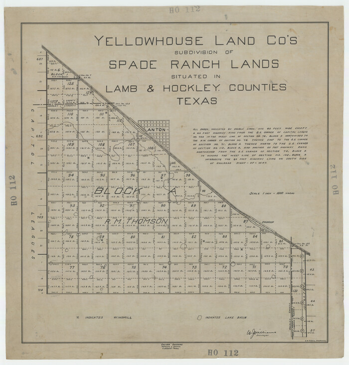
Yellowhouse Land Company's Subdivision of Spade Ranch Lands Situated in Lamb and Hockley Counties, Texas

Print $20.00
- Digital $50.00
Yellowhouse Land Company's Subdivision of Spade Ranch Lands Situated in Lamb and Hockley Counties, Texas
Size 21.5 x 22.5 inches
Map/Doc 92228
[Sketch to show the positions of surveys 1-18 made by G. R. Jowell with reference to Capitol Leagues]
![90539, [Sketch to show the positions of surveys 1-18 made by G. R. Jowell with reference to Capitol Leagues], Twichell Survey Records](https://historictexasmaps.com/wmedia_w700/maps/90539-1.tif.jpg)
![90539, [Sketch to show the positions of surveys 1-18 made by G. R. Jowell with reference to Capitol Leagues], Twichell Survey Records](https://historictexasmaps.com/wmedia_w700/maps/90539-1.tif.jpg)
Print $20.00
- Digital $50.00
[Sketch to show the positions of surveys 1-18 made by G. R. Jowell with reference to Capitol Leagues]
1905
Size 14.7 x 14.6 inches
Map/Doc 90539
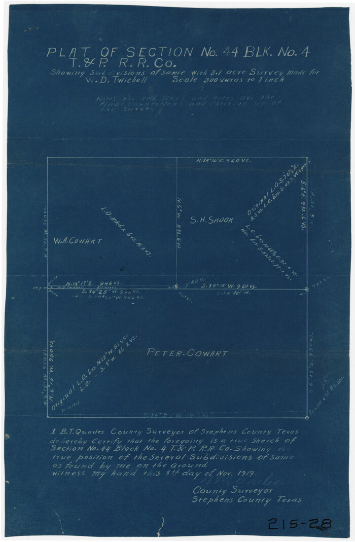
Plat of Section No. 44, Blk. No. 4, T. & P. RR. Co. showing subdivisions of same with 3.1 acre survey made for W. D. Twichell

Print $2.00
- Digital $50.00
Plat of Section No. 44, Blk. No. 4, T. & P. RR. Co. showing subdivisions of same with 3.1 acre survey made for W. D. Twichell
1919
Size 8.9 x 13.3 inches
Map/Doc 91908
You may also like
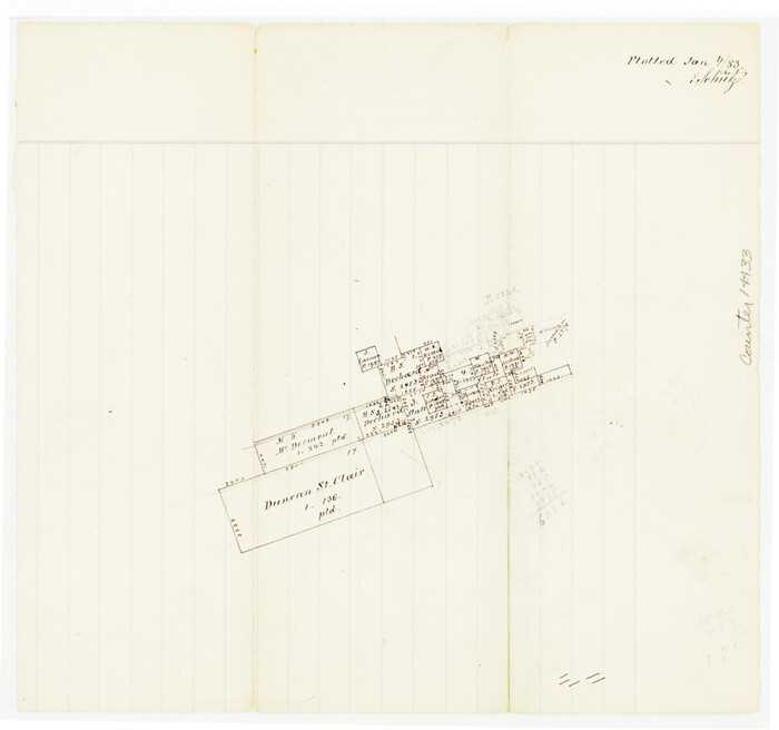
Bell County Sketch File 26a

Print $4.00
- Digital $50.00
Bell County Sketch File 26a
1883
Size 9.0 x 9.6 inches
Map/Doc 14433
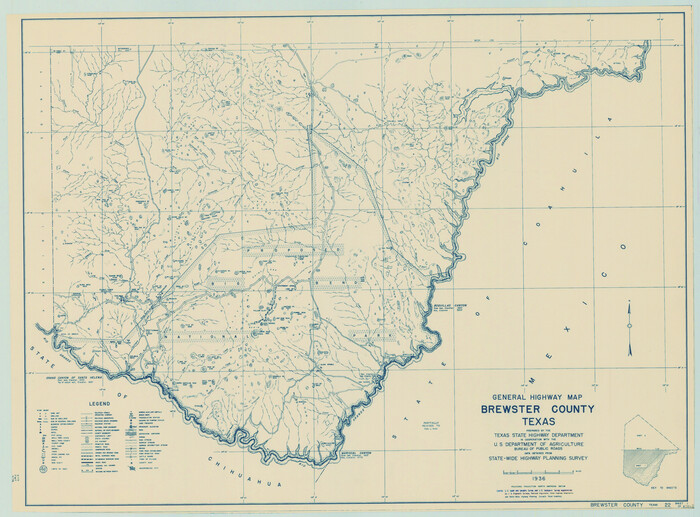
General Highway Map, Brewster County, Texas

Print $20.00
General Highway Map, Brewster County, Texas
1940
Size 18.5 x 25.1 inches
Map/Doc 79028
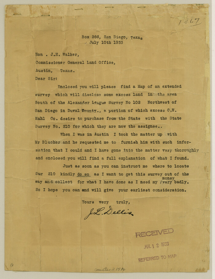
Duval County Sketch File 82

Print $10.00
- Digital $50.00
Duval County Sketch File 82
1933
Size 11.3 x 8.8 inches
Map/Doc 21516
McMullen County Rolled Sketch 22


Print $20.00
- Digital $50.00
McMullen County Rolled Sketch 22
2004
Size 15.3 x 24.6 inches
Map/Doc 88824
Plan of the City of Galveston, Texas


Print $20.00
- Digital $50.00
Plan of the City of Galveston, Texas
1845
Size 19.3 x 41.8 inches
Map/Doc 4665
Cameron County Sketch File 1


Print $7.00
- Digital $50.00
Cameron County Sketch File 1
1849
Size 10.9 x 8.6 inches
Map/Doc 36024
Potter County Sketch File 9


Print $20.00
- Digital $50.00
Potter County Sketch File 9
1887
Size 12.5 x 17.7 inches
Map/Doc 12198
Red River County Sketch File 5a
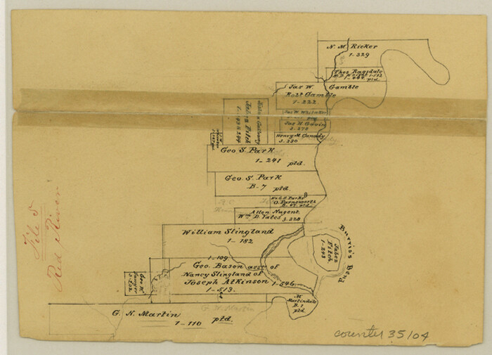

Print $2.00
- Digital $50.00
Red River County Sketch File 5a
Size 4.7 x 6.6 inches
Map/Doc 35104
Chambers County Rolled Sketch 21


Print $20.00
- Digital $50.00
Chambers County Rolled Sketch 21
1940
Size 40.9 x 41.0 inches
Map/Doc 8589
Flight Mission No. CGI-3N, Frame 67, Cameron County
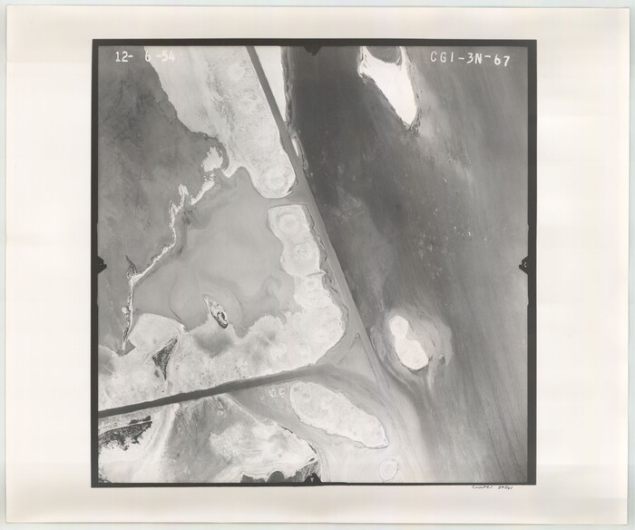

Print $20.00
- Digital $50.00
Flight Mission No. CGI-3N, Frame 67, Cameron County
1954
Size 18.5 x 22.2 inches
Map/Doc 84561
![90929, [McLennan County School Leagues 3 and 4, Elizabeth Finley, Wm. Van Norman, Harvey Kendrick surveys and surveys to the west], Twichell Survey Records](https://historictexasmaps.com/wmedia_w1800h1800/maps/90929-1.tif.jpg)
![92953, [Terry County], Twichell Survey Records](https://historictexasmaps.com/wmedia_w700/maps/92953-1.tif.jpg)

