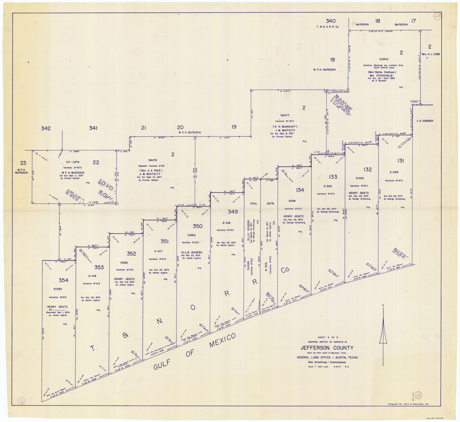
Jefferson County Working Sketch 25
- 
                          Map/Doc66568
- 
                            CollectionGeneral Map Collection
- 
                            Object Dates8/9/1977 (Creation Date)
- 
                            People and OrganizationsBeverly Robison (Draftsman)
- 
                            CountiesJefferson
- 
                            SubjectsSurveying Working Sketch
- 
                            Height x Width39.8 x 43.4 inches101.1 x 110.2 cm
- 
                            Scale1" = 300 varas
Part of: General Map Collection
            Palo Pinto County Sketch File 24


                                            Print $20.00                    
                                             -                         Digital $50.00                                    
                Palo Pinto County Sketch File 24
Size 21.0 x 32.8 inches
                                Map/Doc 12136
            
            Gaines County Working Sketch 27


                                            Print $20.00                    
                                             -                         Digital $50.00                                    
                Gaines County Working Sketch 27
Size 17.4 x 36.7 inches
                                Map/Doc 69327
            
            Flight Mission No. DAH-9M, Frame 86, Orange County


                                            Print $20.00                    
                                             -                         Digital $50.00                                    
                Flight Mission No. DAH-9M, Frame 86, Orange County
1953
Size 18.4 x 22.2 inches
                                Map/Doc 86850
            
            Real County Working Sketch 26


                                            Print $20.00                    
                                             -                         Digital $50.00                                    
                Real County Working Sketch 26
1947
Size 28.7 x 28.1 inches
                                Map/Doc 71918
            
            Montgomery County Rolled Sketch 14


                                            Print $20.00                    
                                             -                         Digital $50.00                                    
                Montgomery County Rolled Sketch 14
Size 22.4 x 25.4 inches
                                Map/Doc 6803
            
            Kenedy County


                                            Print $20.00                    
                                             -                         Digital $50.00                                    
                Kenedy County
1913
Size 41.0 x 31.8 inches
                                Map/Doc 66888
            
            McMullen County Sketch File 13


                                            Print $4.00                    
                                             -                         Digital $50.00                                    
                McMullen County Sketch File 13
1876
Size 10.0 x 8.0 inches
                                Map/Doc 31359
            
            Uvalde County Sketch File 18


                                            Print $6.00                    
                                             -                         Digital $50.00                                    
                Uvalde County Sketch File 18
1883
Size 10.9 x 8.2 inches
                                Map/Doc 38997
            
            Flight Mission No. DCL-5C, Frame 66, Kenedy County


                                            Print $20.00                    
                                             -                         Digital $50.00                                    
                Flight Mission No. DCL-5C, Frame 66, Kenedy County
1943
Size 18.4 x 22.3 inches
                                Map/Doc 85849
            
            Flight Mission No. BRA-16M, Frame 165, Jefferson County


                                            Print $20.00                    
                                             -                         Digital $50.00                                    
                Flight Mission No. BRA-16M, Frame 165, Jefferson County
1953
Size 18.6 x 22.4 inches
                                Map/Doc 85763
            You may also like
            Hudspeth County Working Sketch 55


                                            Print $20.00                    
                                             -                         Digital $50.00                                    
                Hudspeth County Working Sketch 55
1989
Size 22.3 x 29.5 inches
                                Map/Doc 66340
            
            Hale County Rolled Sketch 8


                                            Print $20.00                    
                                             -                         Digital $50.00                                    
                Hale County Rolled Sketch 8
1910
Size 38.0 x 25.9 inches
                                Map/Doc 6046
            
            Mills County Boundary File 10


                                            Print $46.00                    
                                             -                         Digital $50.00                                    
                Mills County Boundary File 10
Size 17.0 x 11.6 inches
                                Map/Doc 57329
            
            Howard McCauley Irrigated Farm North Half Section 2, Block D4


                                            Print $20.00                    
                                             -                         Digital $50.00                                    
                Howard McCauley Irrigated Farm North Half Section 2, Block D4
1946
Size 32.0 x 19.4 inches
                                Map/Doc 92342
            
            Jack County Sketch File 1


                                            Print $4.00                    
                                             -                         Digital $50.00                                    
                Jack County Sketch File 1
Size 8.4 x 6.4 inches
                                Map/Doc 27499
            
            Brown County Working Sketch Graphic Index


                                            Print $20.00                    
                                             -                         Digital $50.00                                    
                Brown County Working Sketch Graphic Index
1944
Size 47.6 x 37.1 inches
                                Map/Doc 76480
            
            Map of N. W. Portion Blk G. Gaines Co.


                                            Print $20.00                    
                                             -                         Digital $50.00                                    
                Map of N. W. Portion Blk G. Gaines Co.
1914
Size 37.4 x 26.7 inches
                                Map/Doc 90867
            
            Liberty County


                                            Print $20.00                    
                                             -                         Digital $50.00                                    
                Liberty County
1882
Size 26.1 x 24.8 inches
                                Map/Doc 3813
            
            Map of Bell County


                                            Print $40.00                    
                                             -                         Digital $50.00                                    
                Map of Bell County
1896
Size 46.7 x 53.7 inches
                                Map/Doc 4884
            
            Grayson County Boundary File 5


                                            Print $4.00                    
                                             -                         Digital $50.00                                    
                Grayson County Boundary File 5
Size 11.2 x 8.7 inches
                                Map/Doc 53959
            
            [International & Great Northern Railroad, from Troupe to Overton]
            
                                    ![64388, [International & Great Northern Railroad, from Troupe to Overton], General Map Collection](https://historictexasmaps.com/wmedia_w700/maps/64388.tif.jpg) 


    ![64388, [International & Great Northern Railroad, from Troupe to Overton], General Map Collection](https://historictexasmaps.com/wmedia_w700/maps/64388.tif.jpg) 
                                
            
                                            Print $20.00                    
                                             -                         Digital $50.00                                    
                [International & Great Northern Railroad, from Troupe to Overton]
1903
Size 25.1 x 38.4 inches
                                Map/Doc 64388
            
            Sketch of Resurvey of J. R. Castlebury Est., SF 12725 in Gregg County


                                            Print $20.00                    
                                             -                         Digital $50.00                                    
                Sketch of Resurvey of J. R. Castlebury Est., SF 12725 in Gregg County
1931
Size 38.6 x 33.3 inches
                                Map/Doc 2039
             
                         
                                