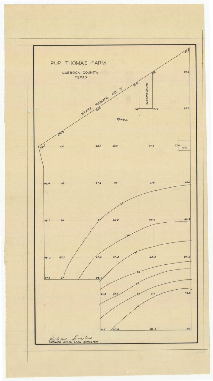
[Block XR]
103-9
-
Map/Doc
90772
-
Collection
Twichell Survey Records
-
Object Dates
9/15/1882 (Creation Date)
-
People and Organizations
W.S. Mabry (Draftsman)
-
Counties
Hartley
-
Height x Width
15.7 x 21.8 inches
39.9 x 55.4 cm
Part of: Twichell Survey Records
Brazos River Conservation and Reclamation District Official Boundary Line Survey


Print $20.00
- Digital $50.00
Brazos River Conservation and Reclamation District Official Boundary Line Survey
1931
Size 25.1 x 36.9 inches
Map/Doc 90125
[Southeast Portion of Motley County]
![91508, [Southeast Portion of Motley County], Twichell Survey Records](https://historictexasmaps.com/wmedia_w700/maps/91508-1.tif.jpg)
![91508, [Southeast Portion of Motley County], Twichell Survey Records](https://historictexasmaps.com/wmedia_w700/maps/91508-1.tif.jpg)
Print $20.00
- Digital $50.00
[Southeast Portion of Motley County]
Size 31.2 x 34.3 inches
Map/Doc 91508
Map of Scurry County


Print $20.00
- Digital $50.00
Map of Scurry County
Size 17.8 x 22.7 inches
Map/Doc 92921
[Canadian River North]
![91826, [Canadian River North], Twichell Survey Records](https://historictexasmaps.com/wmedia_w700/maps/91826-1.tif.jpg)
![91826, [Canadian River North], Twichell Survey Records](https://historictexasmaps.com/wmedia_w700/maps/91826-1.tif.jpg)
Print $3.00
- Digital $50.00
[Canadian River North]
Size 17.9 x 11.7 inches
Map/Doc 91826
Conoco Official Road Map New Mexico


Print $20.00
- Digital $50.00
Conoco Official Road Map New Mexico
1934
Size 18.5 x 24.5 inches
Map/Doc 92437
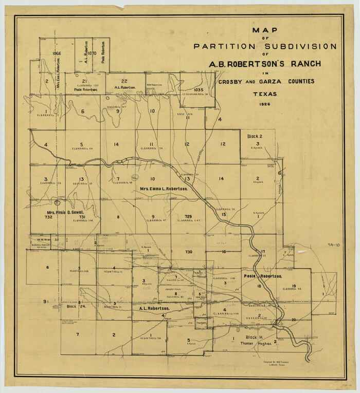
Map of Partition Subdivision of A.B. Robertson's Ranch in Crosby and Garza Counties, Texas 1926

Print $20.00
- Digital $50.00
Map of Partition Subdivision of A.B. Robertson's Ranch in Crosby and Garza Counties, Texas 1926
1926
Size 39.1 x 42.7 inches
Map/Doc 89755
[Sketch showing C. D. & W. A. Murphy's Pasture and Wint Barfield's Pasture]
![90885, [Sketch showing C. D. & W. A. Murphy's Pasture and Wint Barfield's Pasture], Twichell Survey Records](https://historictexasmaps.com/wmedia_w700/maps/90885-1.tif.jpg)
![90885, [Sketch showing C. D. & W. A. Murphy's Pasture and Wint Barfield's Pasture], Twichell Survey Records](https://historictexasmaps.com/wmedia_w700/maps/90885-1.tif.jpg)
Print $20.00
- Digital $50.00
[Sketch showing C. D. & W. A. Murphy's Pasture and Wint Barfield's Pasture]
Size 31.9 x 27.4 inches
Map/Doc 90885
[South Line of Block RG]
![91322, [South Line of Block RG], Twichell Survey Records](https://historictexasmaps.com/wmedia_w700/maps/91322-1.tif.jpg)
![91322, [South Line of Block RG], Twichell Survey Records](https://historictexasmaps.com/wmedia_w700/maps/91322-1.tif.jpg)
Print $20.00
- Digital $50.00
[South Line of Block RG]
Size 34.9 x 14.1 inches
Map/Doc 91322
[Hall, Luce, Aimaguie, and surrounding surveys]
![91191, [Hall, Luce, Aimaguie, and surrounding surveys], Twichell Survey Records](https://historictexasmaps.com/wmedia_w700/maps/91191-1.tif.jpg)
![91191, [Hall, Luce, Aimaguie, and surrounding surveys], Twichell Survey Records](https://historictexasmaps.com/wmedia_w700/maps/91191-1.tif.jpg)
Print $20.00
- Digital $50.00
[Hall, Luce, Aimaguie, and surrounding surveys]
Size 21.0 x 29.1 inches
Map/Doc 91191
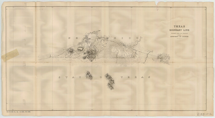
Texas Boundary Line

Print $20.00
- Digital $50.00
Texas Boundary Line
Size 21.4 x 11.8 inches
Map/Doc 92076
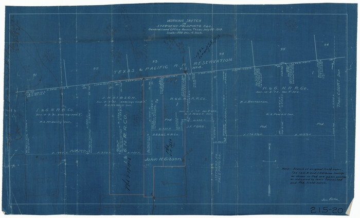
Working Sketch in Stephens-Palo Pinto Cos.

Print $20.00
- Digital $50.00
Working Sketch in Stephens-Palo Pinto Cos.
1919
Size 21.7 x 13.2 inches
Map/Doc 91887
You may also like
Map of the territory comprised between the Province of New Mexico and the fort of Natchitoches and Texas


Map of the territory comprised between the Province of New Mexico and the fort of Natchitoches and Texas
1789
Size 8.9 x 15.3 inches
Map/Doc 88888
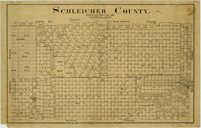
Schleicher County

Print $20.00
- Digital $50.00
Schleicher County
1898
Size 23.1 x 36.3 inches
Map/Doc 615
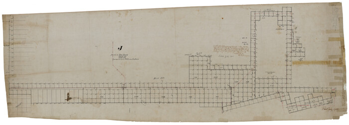
Gaines County Rolled Sketch J

Print $40.00
- Digital $50.00
Gaines County Rolled Sketch J
Size 26.6 x 73.8 inches
Map/Doc 9013
Upshur County Working Sketch 15, revised


Print $20.00
- Digital $50.00
Upshur County Working Sketch 15, revised
1996
Size 43.3 x 37.4 inches
Map/Doc 78217
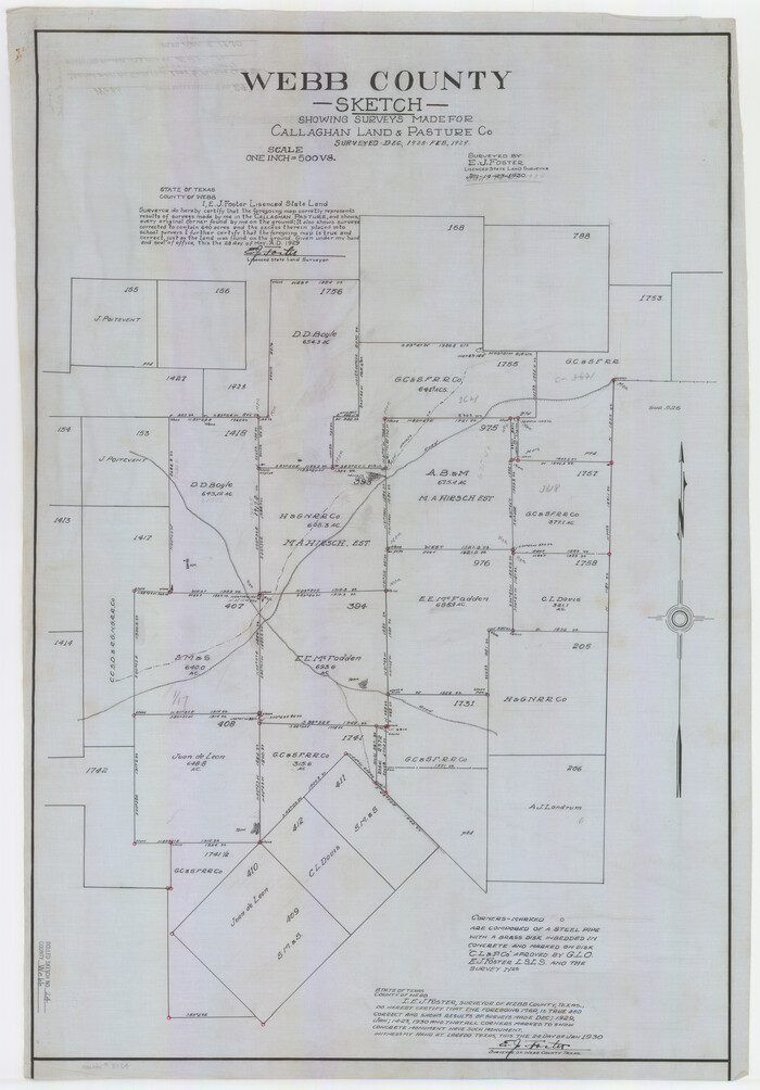
Webb County Rolled Sketch 24

Print $20.00
- Digital $50.00
Webb County Rolled Sketch 24
1930
Size 33.0 x 23.0 inches
Map/Doc 8184
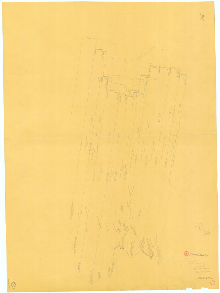
Starr County Working Sketch 4

Print $20.00
- Digital $50.00
Starr County Working Sketch 4
1927
Size 38.5 x 28.9 inches
Map/Doc 63920
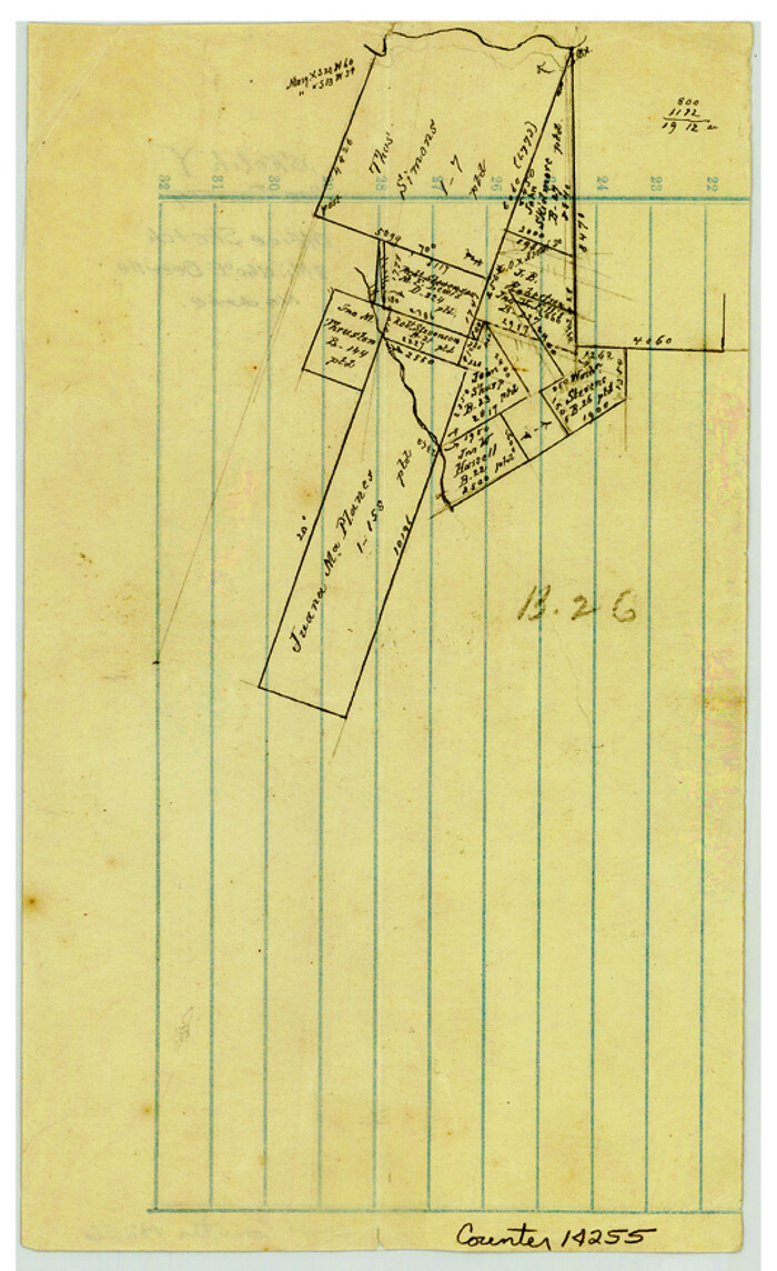
Bee County Sketch File Y

Print $4.00
- Digital $50.00
Bee County Sketch File Y
Size 8.8 x 5.4 inches
Map/Doc 14255
Jones County Sketch File 7


Print $20.00
- Digital $50.00
Jones County Sketch File 7
Size 12.5 x 27.5 inches
Map/Doc 11897
[Map of Texas]
![95882, [Map of Texas], Cobb Digital Map Collection - 1](https://historictexasmaps.com/wmedia_w700/maps/95882.tif.jpg)
![95882, [Map of Texas], Cobb Digital Map Collection - 1](https://historictexasmaps.com/wmedia_w700/maps/95882.tif.jpg)
Print $20.00
- Digital $50.00
[Map of Texas]
1908
Size 18.5 x 18.7 inches
Map/Doc 95882
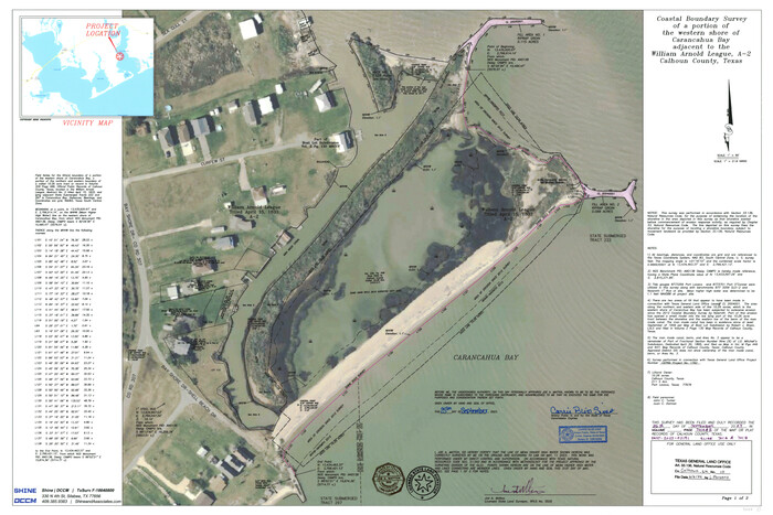
Calhoun County NRC Article 33.136 Sketch 10

Digital $50.00
Calhoun County NRC Article 33.136 Sketch 10
2023
Map/Doc 97254
Flight Mission No. CGI-4N, Frame 178, Cameron County


Print $20.00
- Digital $50.00
Flight Mission No. CGI-4N, Frame 178, Cameron County
1955
Size 18.6 x 22.3 inches
Map/Doc 84681
Map of Louisiana, Texas, Arkansas and Indian Territory


Print $20.00
- Digital $50.00
Map of Louisiana, Texas, Arkansas and Indian Territory
1885
Size 9.0 x 12.2 inches
Map/Doc 93519
![90772, [Block XR], Twichell Survey Records](https://historictexasmaps.com/wmedia_w1800h1800/maps/90772-1.tif.jpg)
