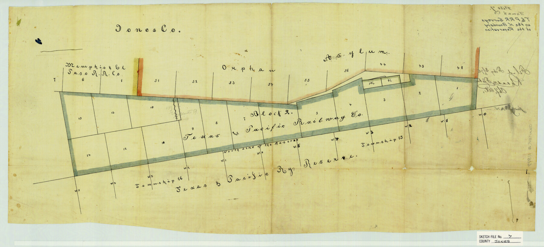
Jones County Sketch File 7
T&P RR Surveys on the N. Boundary of the Reservation
-
Map/Doc
11897
-
Collection
General Map Collection
-
Object Dates
2/3/1875 (File Date)
-
Counties
Jones
-
Subjects
Surveying Sketch File
-
Height x Width
12.5 x 27.5 inches
31.8 x 69.9 cm
-
Medium
paper, manuscript
Part of: General Map Collection
Harrison County Sketch File 19

Print $20.00
- Digital $50.00
Harrison County Sketch File 19
1954
Size 25.0 x 21.7 inches
Map/Doc 11692
Fort Bend County State Real Property Sketch 14

Print $40.00
- Digital $50.00
Fort Bend County State Real Property Sketch 14
1985
Size 36.7 x 35.6 inches
Map/Doc 61688
Bosque County Sketch File 29

Print $6.00
- Digital $50.00
Bosque County Sketch File 29
1863
Size 12.9 x 8.1 inches
Map/Doc 14816
Kimble County Working Sketch 50

Print $20.00
- Digital $50.00
Kimble County Working Sketch 50
1952
Size 34.8 x 22.1 inches
Map/Doc 70118
[Palmer and Castro Counties]
![1763, [Palmer and Castro Counties], General Map Collection](https://historictexasmaps.com/wmedia_w700/maps/1763-1.tif.jpg)
Print $20.00
- Digital $50.00
[Palmer and Castro Counties]
1910
Size 19.3 x 26.3 inches
Map/Doc 1763
Flight Mission No. BRA-8M, Frame 76, Jefferson County

Print $20.00
- Digital $50.00
Flight Mission No. BRA-8M, Frame 76, Jefferson County
1953
Size 18.5 x 22.3 inches
Map/Doc 85596
Live Oak County Working Sketch 3

Print $20.00
- Digital $50.00
Live Oak County Working Sketch 3
1910
Size 21.5 x 19.0 inches
Map/Doc 70588
Scurry County Working Sketch 5

Print $40.00
- Digital $50.00
Scurry County Working Sketch 5
1950
Size 72.5 x 27.8 inches
Map/Doc 63834
Kleberg County Rolled Sketch 10-32

Print $20.00
- Digital $50.00
Kleberg County Rolled Sketch 10-32
1952
Size 36.2 x 34.5 inches
Map/Doc 9369
Menard County Working Sketch 3

Print $20.00
- Digital $50.00
Menard County Working Sketch 3
1913
Size 15.2 x 13.2 inches
Map/Doc 70950
Central Part of Jeff Davis Co.

Print $40.00
- Digital $50.00
Central Part of Jeff Davis Co.
1982
Size 54.2 x 41.6 inches
Map/Doc 77326
Flight Mission No. BQR-12K, Frame 46, Brazoria County

Print $20.00
- Digital $50.00
Flight Mission No. BQR-12K, Frame 46, Brazoria County
1952
Size 18.8 x 22.4 inches
Map/Doc 84061
You may also like
A Map of Louisiana and Mexico

Print $20.00
A Map of Louisiana and Mexico
1820
Size 43.0 x 32.6 inches
Map/Doc 76218
Lynn County Boundary File 10

Print $110.00
- Digital $50.00
Lynn County Boundary File 10
Size 14.3 x 8.7 inches
Map/Doc 56709
[Panhandle Counties]
![92067, [Panhandle Counties], Twichell Survey Records](https://historictexasmaps.com/wmedia_w700/maps/92067-1.tif.jpg)
Print $2.00
- Digital $50.00
[Panhandle Counties]
Size 12.3 x 9.1 inches
Map/Doc 92067
El Paso County Sketch File 11

Print $6.00
- Digital $50.00
El Paso County Sketch File 11
Size 14.2 x 11.0 inches
Map/Doc 22000
Flight Mission No. DCL-7C, Frame 54, Kenedy County

Print $20.00
- Digital $50.00
Flight Mission No. DCL-7C, Frame 54, Kenedy County
1943
Size 15.3 x 15.3 inches
Map/Doc 86042
General Highway Map, Armstrong County, Texas

Print $20.00
General Highway Map, Armstrong County, Texas
1961
Size 18.3 x 25.0 inches
Map/Doc 79354
Kimble County Working Sketch 4

Print $20.00
- Digital $50.00
Kimble County Working Sketch 4
1913
Size 26.8 x 21.7 inches
Map/Doc 70072
Upton County Working Sketch 37

Print $20.00
- Digital $50.00
Upton County Working Sketch 37
1957
Size 41.1 x 36.9 inches
Map/Doc 69533
Hutchinson County Rolled Sketch 13

Print $20.00
- Digital $50.00
Hutchinson County Rolled Sketch 13
Size 17.8 x 16.7 inches
Map/Doc 6283
Flight Mission No. BRA-16M, Frame 172, Jefferson County

Print $20.00
- Digital $50.00
Flight Mission No. BRA-16M, Frame 172, Jefferson County
1953
Size 18.6 x 22.3 inches
Map/Doc 85770

[Sketch showing C. D. & W. A. Murphy's Pasture and Wint Barfield's Pasture]
![90935, [Sketch showing C. D. & W. A. Murphy's Pasture and Wint Barfield's Pasture], Twichell Survey Records](https://historictexasmaps.com/wmedia_w700/maps/90935-1.tif.jpg)
Print $20.00
- Digital $50.00
[Sketch showing C. D. & W. A. Murphy's Pasture and Wint Barfield's Pasture]
Size 30.4 x 26.7 inches
Map/Doc 90935