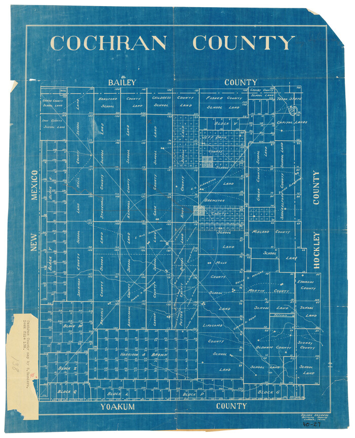
[Floyd County Schoo Land Lgs. 180-183, Fisher County School Land Lgs. 105-108, and part of Blk. V]
9-36
-
Map/Doc
90189
-
Collection
Twichell Survey Records
-
Counties
Bailey Cochran
-
Height x Width
8.8 x 10.2 inches
22.4 x 25.9 cm
Part of: Twichell Survey Records
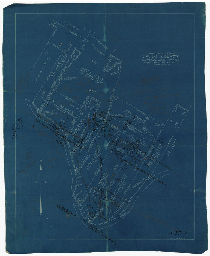
Working Sketch in Travis County

Print $20.00
- Digital $50.00
Working Sketch in Travis County
1923
Size 15.4 x 18.6 inches
Map/Doc 91866
[Sketch of area around C. & M. RR. Co. survey 171]
![90214, [Sketch of area around C. & M. RR. Co. survey 171], Twichell Survey Records](https://historictexasmaps.com/wmedia_w700/maps/90214-1.tif.jpg)
![90214, [Sketch of area around C. & M. RR. Co. survey 171], Twichell Survey Records](https://historictexasmaps.com/wmedia_w700/maps/90214-1.tif.jpg)
Print $20.00
- Digital $50.00
[Sketch of area around C. & M. RR. Co. survey 171]
1924
Size 21.8 x 26.9 inches
Map/Doc 90214
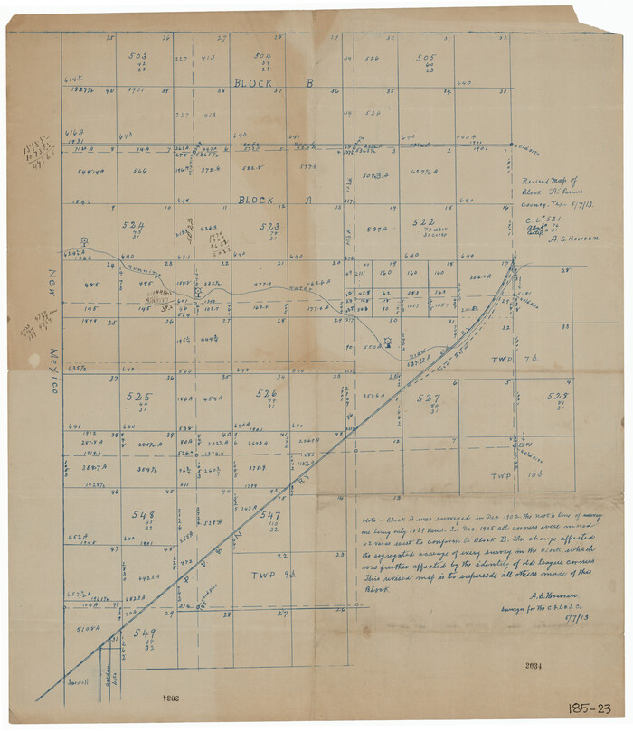
Revised Map of Block "A", Parmer County

Print $20.00
- Digital $50.00
Revised Map of Block "A", Parmer County
1913
Size 21.1 x 23.9 inches
Map/Doc 91609
Arizona Chemical Co. O'Donnell Plant


Print $20.00
- Digital $50.00
Arizona Chemical Co. O'Donnell Plant
Size 30.2 x 33.2 inches
Map/Doc 92947
[1680 Bed of Rock 20 Feet in Diameter on East Bank of Concho Drain]
![91361, [1680 Bed of Rock 20 Feet in Diameter on East Bank of Concho Drain], Twichell Survey Records](https://historictexasmaps.com/wmedia_w700/maps/91361-1.tif.jpg)
![91361, [1680 Bed of Rock 20 Feet in Diameter on East Bank of Concho Drain], Twichell Survey Records](https://historictexasmaps.com/wmedia_w700/maps/91361-1.tif.jpg)
Print $20.00
- Digital $50.00
[1680 Bed of Rock 20 Feet in Diameter on East Bank of Concho Drain]
Size 25.4 x 15.1 inches
Map/Doc 91361
Lands of the Eastern Mediterranean
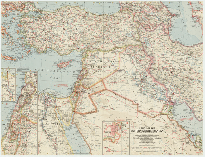

Lands of the Eastern Mediterranean
1959
Size 25.5 x 19.5 inches
Map/Doc 92383
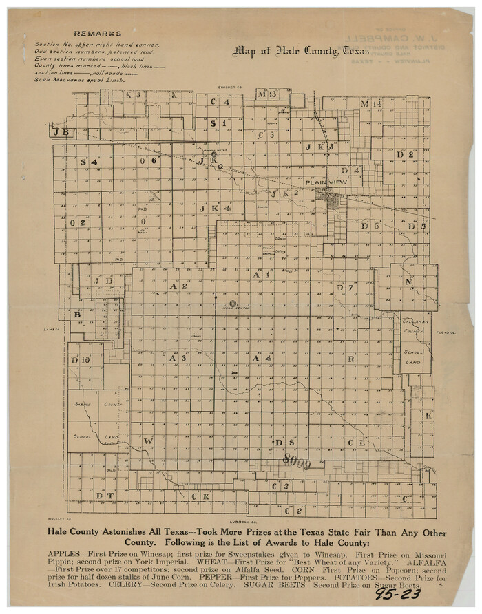
Map of Hale County, Texas

Print $2.00
- Digital $50.00
Map of Hale County, Texas
Size 8.8 x 11.2 inches
Map/Doc 90697
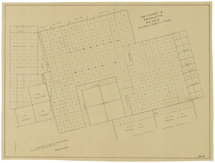
Map Exhibit B, R. B. Violette M. A. 34719, Gaines County, Texas

Print $20.00
- Digital $50.00
Map Exhibit B, R. B. Violette M. A. 34719, Gaines County, Texas
Size 30.0 x 23.0 inches
Map/Doc 90835
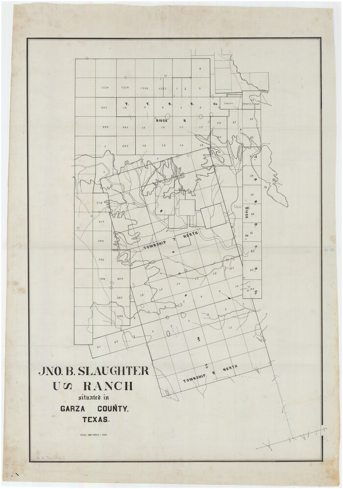
Jno. B. Slaughter US Ranch situated in Garza County, Texas

Print $40.00
- Digital $50.00
Jno. B. Slaughter US Ranch situated in Garza County, Texas
Size 34.6 x 49.2 inches
Map/Doc 89946
Map Showing Present Owners on the Elizabeth Standifer, James Standifer, Jacob Standifer, C. A. West and William Standifer Original Surveys in Bastrop County, Texas


Print $20.00
- Digital $50.00
Map Showing Present Owners on the Elizabeth Standifer, James Standifer, Jacob Standifer, C. A. West and William Standifer Original Surveys in Bastrop County, Texas
1915
Size 22.2 x 31.5 inches
Map/Doc 90152
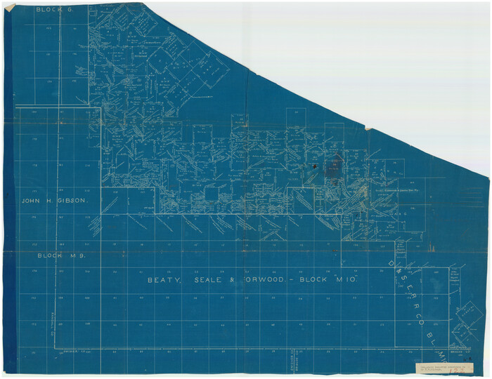
SW/4 of County, B.S.& F. Bk. M-10, J.W.Woodburn Bk.B-1 & G.C.&S.F. Bk.BIGN

Print $20.00
- Digital $50.00
SW/4 of County, B.S.& F. Bk. M-10, J.W.Woodburn Bk.B-1 & G.C.&S.F. Bk.BIGN
Size 34.6 x 27.0 inches
Map/Doc 90266
Working Sketch in Collingsworth County [showing East line of County along border with Oklahoma]
![92086, Working Sketch in Collingsworth County [showing East line of County along border with Oklahoma], Twichell Survey Records](https://historictexasmaps.com/wmedia_w700/maps/92086-1.tif.jpg)
![92086, Working Sketch in Collingsworth County [showing East line of County along border with Oklahoma], Twichell Survey Records](https://historictexasmaps.com/wmedia_w700/maps/92086-1.tif.jpg)
Print $20.00
- Digital $50.00
Working Sketch in Collingsworth County [showing East line of County along border with Oklahoma]
1910
Size 4.5 x 25.9 inches
Map/Doc 92086
You may also like
Flight Mission No. BRA-16M, Frame 65, Jefferson County


Print $20.00
- Digital $50.00
Flight Mission No. BRA-16M, Frame 65, Jefferson County
1953
Size 18.7 x 22.4 inches
Map/Doc 85682
Dimmit County Rolled Sketch 6
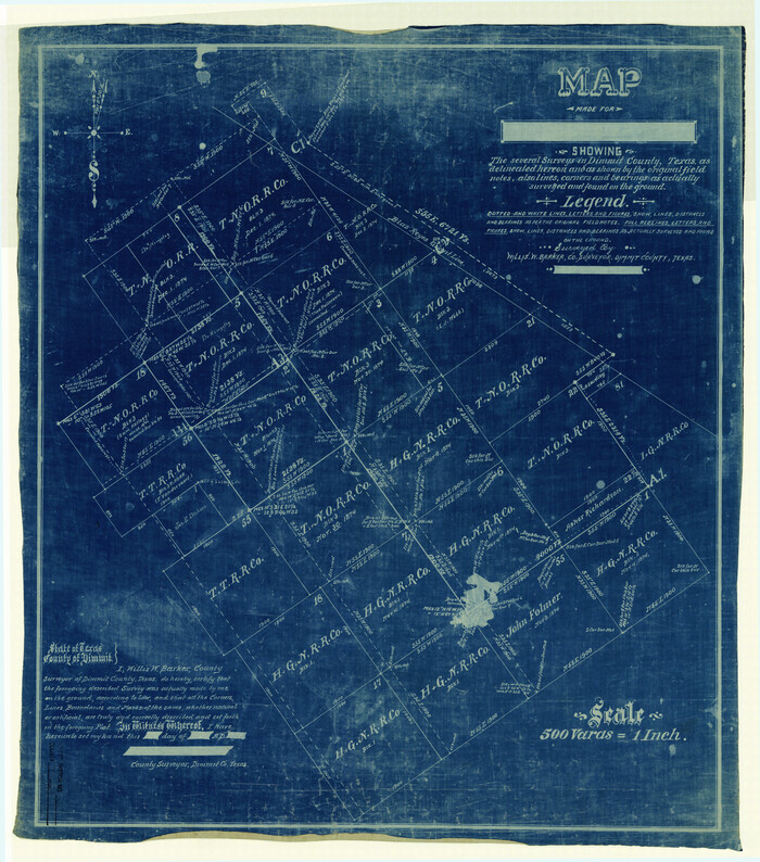

Print $20.00
- Digital $50.00
Dimmit County Rolled Sketch 6
Size 31.1 x 27.4 inches
Map/Doc 5716
Montague County Working Sketch 38
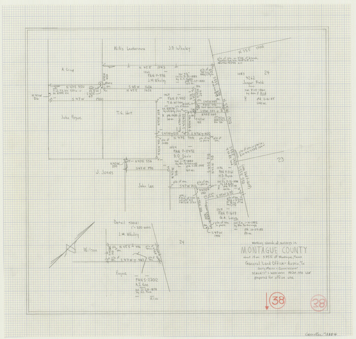

Print $20.00
- Digital $50.00
Montague County Working Sketch 38
1990
Size 14.9 x 15.6 inches
Map/Doc 71104
Brewster County Sketch File N-4
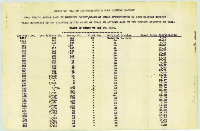

Print $6.00
- Digital $50.00
Brewster County Sketch File N-4
1904
Size 8.7 x 13.2 inches
Map/Doc 15602
Flight Mission No. CRC-2R, Frame 5, Chambers County
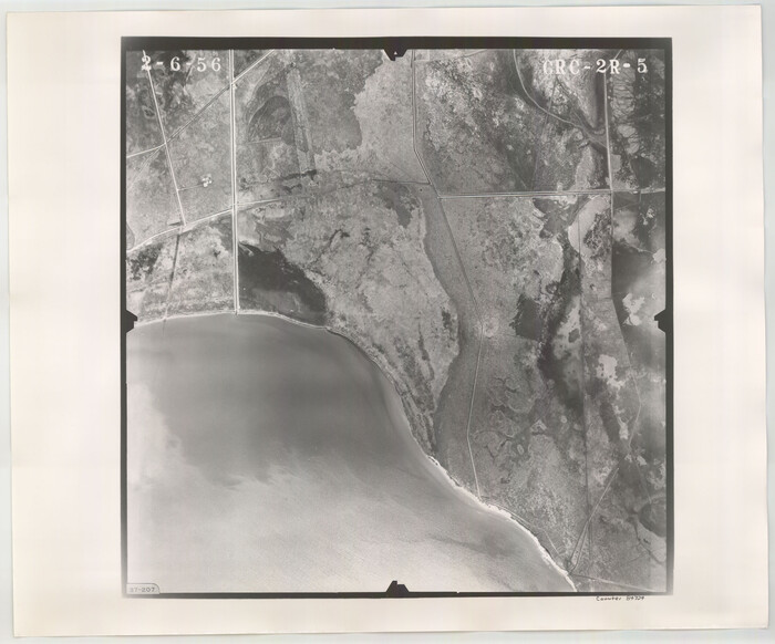

Print $20.00
- Digital $50.00
Flight Mission No. CRC-2R, Frame 5, Chambers County
1956
Size 18.7 x 22.4 inches
Map/Doc 84724
Old Miscellaneous File 23


Print $58.00
- Digital $50.00
Old Miscellaneous File 23
1919
Size 14.2 x 8.6 inches
Map/Doc 75600
Swisher County


Print $20.00
- Digital $50.00
Swisher County
1900
Size 45.5 x 39.0 inches
Map/Doc 63053
Burnet County Working Sketch 26


Print $20.00
- Digital $50.00
Burnet County Working Sketch 26
2016
Size 18.7 x 24.8 inches
Map/Doc 93979
Parker County Rolled Sketch 2


Print $20.00
- Digital $50.00
Parker County Rolled Sketch 2
Size 32.4 x 19.6 inches
Map/Doc 7203
Palo Pinto County Rolled Sketch 13
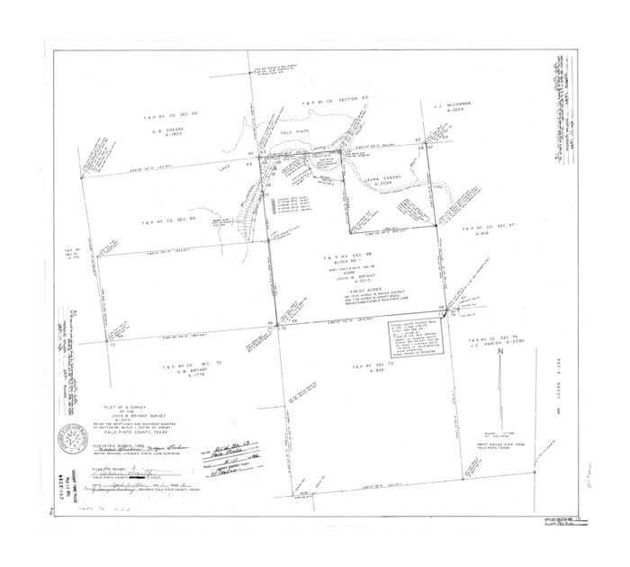

Print $20.00
- Digital $50.00
Palo Pinto County Rolled Sketch 13
1986
Size 29.0 x 32.2 inches
Map/Doc 7193
Matagorda County Working Sketch 3
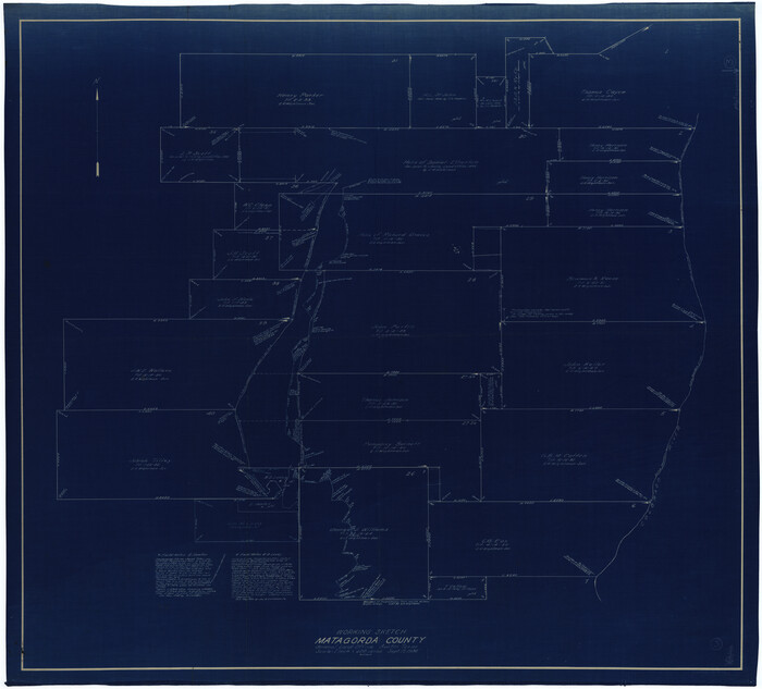

Print $40.00
- Digital $50.00
Matagorda County Working Sketch 3
1936
Size 43.7 x 48.4 inches
Map/Doc 70861
![90189, [Floyd County Schoo Land Lgs. 180-183, Fisher County School Land Lgs. 105-108, and part of Blk. V], Twichell Survey Records](https://historictexasmaps.com/wmedia_w1800h1800/maps/90189-1.tif.jpg)
