[Blocks 3, Q, and vicinity]
153-26
-
Map/Doc
91274
-
Collection
Twichell Survey Records
-
Counties
Lynn
-
Height x Width
19.4 x 8.9 inches
49.3 x 22.6 cm
Part of: Twichell Survey Records
[I. & G. N. RR. Co. Blk. 6, Blks M8, M9 and M10]
![90267, [I. & G. N. RR. Co. Blk. 6, Blks M8, M9 and M10], Twichell Survey Records](https://historictexasmaps.com/wmedia_w700/maps/90267-1.tif.jpg)
![90267, [I. & G. N. RR. Co. Blk. 6, Blks M8, M9 and M10], Twichell Survey Records](https://historictexasmaps.com/wmedia_w700/maps/90267-1.tif.jpg)
Print $20.00
- Digital $50.00
[I. & G. N. RR. Co. Blk. 6, Blks M8, M9 and M10]
Size 34.2 x 20.3 inches
Map/Doc 90267
Sketch Z [Blocks K6 and K11]
![90610, Sketch Z [Blocks K6 and K11], Twichell Survey Records](https://historictexasmaps.com/wmedia_w700/maps/90610-1.tif.jpg)
![90610, Sketch Z [Blocks K6 and K11], Twichell Survey Records](https://historictexasmaps.com/wmedia_w700/maps/90610-1.tif.jpg)
Print $20.00
- Digital $50.00
Sketch Z [Blocks K6 and K11]
1903
Size 28.2 x 27.0 inches
Map/Doc 90610
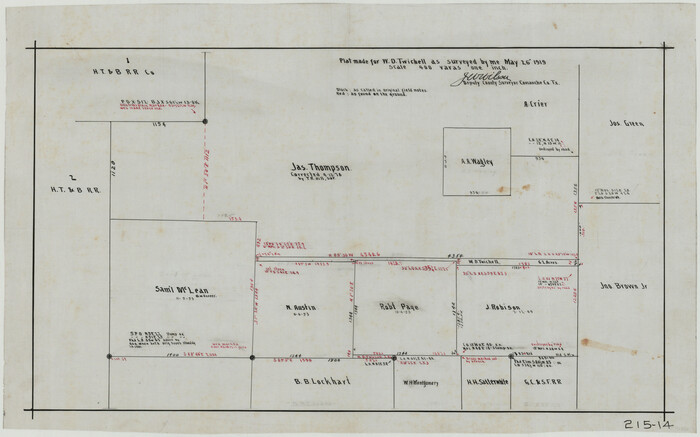
Plat made for W. D. Twichell

Print $20.00
- Digital $50.00
Plat made for W. D. Twichell
1919
Size 25.0 x 15.7 inches
Map/Doc 91916
[E. L. & R.R. Block 1, G. C. & S. F. Blocks 1 & 2, T. R. R. Block 4]
![91280, [E. L. & R.R. Block 1, G. C. & S. F. Blocks 1 & 2, T. R. R. Block 4], Twichell Survey Records](https://historictexasmaps.com/wmedia_w700/maps/91280-1.tif.jpg)
![91280, [E. L. & R.R. Block 1, G. C. & S. F. Blocks 1 & 2, T. R. R. Block 4], Twichell Survey Records](https://historictexasmaps.com/wmedia_w700/maps/91280-1.tif.jpg)
Print $20.00
- Digital $50.00
[E. L. & R.R. Block 1, G. C. & S. F. Blocks 1 & 2, T. R. R. Block 4]
Size 8.7 x 19.3 inches
Map/Doc 91280
[Part of Block A4, Block C2]
![90744, [Part of Block A4, Block C2], Twichell Survey Records](https://historictexasmaps.com/wmedia_w700/maps/90744-1.tif.jpg)
![90744, [Part of Block A4, Block C2], Twichell Survey Records](https://historictexasmaps.com/wmedia_w700/maps/90744-1.tif.jpg)
Print $20.00
- Digital $50.00
[Part of Block A4, Block C2]
Size 14.7 x 20.4 inches
Map/Doc 90744
[H. & G. N. Block 8 showing Llano and Espuella fence lines]
![90374, [H. & G. N. Block 8 showing Llano and Espuella fence lines], Twichell Survey Records](https://historictexasmaps.com/wmedia_w700/maps/90374-1.tif.jpg)
![90374, [H. & G. N. Block 8 showing Llano and Espuella fence lines], Twichell Survey Records](https://historictexasmaps.com/wmedia_w700/maps/90374-1.tif.jpg)
Print $2.00
- Digital $50.00
[H. & G. N. Block 8 showing Llano and Espuella fence lines]
Size 6.2 x 9.7 inches
Map/Doc 90374
[Plainview with Highland Addition]
![92662, [Plainview with Highland Addition], Twichell Survey Records](https://historictexasmaps.com/wmedia_w700/maps/92662-1.tif.jpg)
![92662, [Plainview with Highland Addition], Twichell Survey Records](https://historictexasmaps.com/wmedia_w700/maps/92662-1.tif.jpg)
Print $40.00
- Digital $50.00
[Plainview with Highland Addition]
Size 54.0 x 27.4 inches
Map/Doc 92662
T. C. Ivey Ranch Block D


Print $20.00
- Digital $50.00
T. C. Ivey Ranch Block D
Size 17.5 x 14.8 inches
Map/Doc 92846
[Subdivision of Crockett County School Land Lgs. 214-217]
![90106, [Subdivision of Crockett County School Land Lgs. 214-217], Twichell Survey Records](https://historictexasmaps.com/wmedia_w700/maps/90106-1.tif.jpg)
![90106, [Subdivision of Crockett County School Land Lgs. 214-217], Twichell Survey Records](https://historictexasmaps.com/wmedia_w700/maps/90106-1.tif.jpg)
Print $2.00
- Digital $50.00
[Subdivision of Crockett County School Land Lgs. 214-217]
Size 12.4 x 8.5 inches
Map/Doc 90106
[H. & T. C. Block 47, Sections 47- 55 Corrections]
![91529, [H. & T. C. Block 47, Sections 47- 55 Corrections], Twichell Survey Records](https://historictexasmaps.com/wmedia_w700/maps/91529-1.tif.jpg)
![91529, [H. & T. C. Block 47, Sections 47- 55 Corrections], Twichell Survey Records](https://historictexasmaps.com/wmedia_w700/maps/91529-1.tif.jpg)
Print $3.00
- Digital $50.00
[H. & T. C. Block 47, Sections 47- 55 Corrections]
Size 11.6 x 13.3 inches
Map/Doc 91529
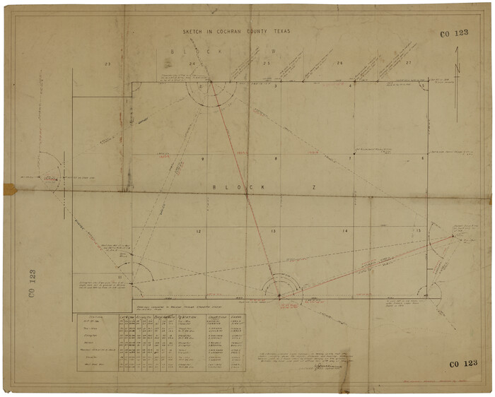
Sketch in Cochran County, Texas

Print $20.00
- Digital $50.00
Sketch in Cochran County, Texas
1940
Size 33.1 x 26.5 inches
Map/Doc 92489
[Sketch showing vicinity of Wm. McCutcheon League near the Bastrop-Caldwell County Line]
![90144, [Sketch showing vicinity of Wm. McCutcheon League near the Bastrop-Caldwell County Line], Twichell Survey Records](https://historictexasmaps.com/wmedia_w700/maps/90144-1.tif.jpg)
![90144, [Sketch showing vicinity of Wm. McCutcheon League near the Bastrop-Caldwell County Line], Twichell Survey Records](https://historictexasmaps.com/wmedia_w700/maps/90144-1.tif.jpg)
Print $2.00
- Digital $50.00
[Sketch showing vicinity of Wm. McCutcheon League near the Bastrop-Caldwell County Line]
1923
Size 7.7 x 12.9 inches
Map/Doc 90144
You may also like
Kleberg County Boundary File 2b


Print $20.00
- Digital $50.00
Kleberg County Boundary File 2b
Size 8.0 x 28.9 inches
Map/Doc 64978
Archer County Sketch File B-1

Print $40.00
- Digital $50.00
Archer County Sketch File B-1
Size 34.5 x 38.8 inches
Map/Doc 10370
Mason County Rolled Sketch 8


Print $20.00
- Digital $50.00
Mason County Rolled Sketch 8
2010
Size 18.5 x 24.4 inches
Map/Doc 89283
McLennan County Sketch File 42
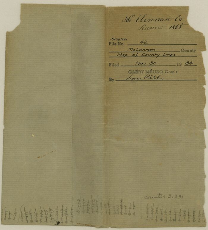

Print $24.00
- Digital $50.00
McLennan County Sketch File 42
1868
Size 7.8 x 7.1 inches
Map/Doc 31331
Calhoun County Sketch File 4
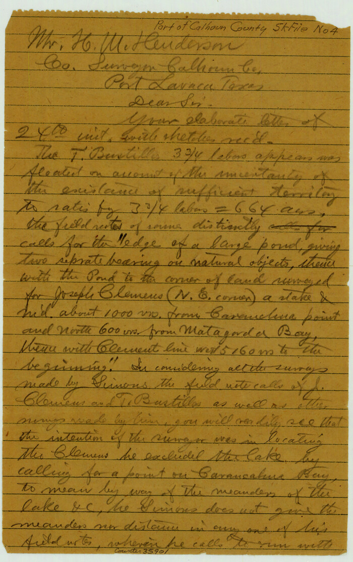

Print $14.00
- Digital $50.00
Calhoun County Sketch File 4
1908
Size 11.0 x 6.9 inches
Map/Doc 35901
Sterling County Working Sketch 1
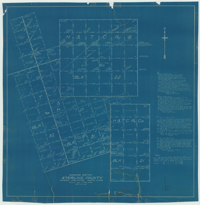

Print $20.00
- Digital $50.00
Sterling County Working Sketch 1
1926
Size 30.3 x 29.6 inches
Map/Doc 63983
Starr County Rolled Sketch 27
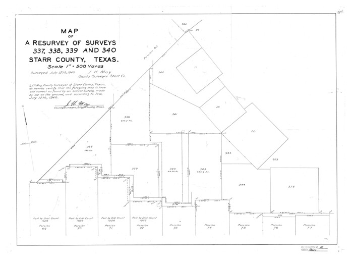

Print $20.00
- Digital $50.00
Starr County Rolled Sketch 27
1940
Size 21.4 x 28.6 inches
Map/Doc 7810
Plat of a survey on Padre Island in Cameron County surveyed for South Padre Development Corporation by Claunch and Associates


Print $40.00
- Digital $50.00
Plat of a survey on Padre Island in Cameron County surveyed for South Padre Development Corporation by Claunch and Associates
1970
Size 61.8 x 40.0 inches
Map/Doc 61429
Smith County Rolled Sketch 6E2


Print $20.00
- Digital $50.00
Smith County Rolled Sketch 6E2
1960
Size 27.6 x 22.7 inches
Map/Doc 10613
[Right of Way & Track Map, The Texas & Pacific Ry. Co. Main Line]
![64662, [Right of Way & Track Map, The Texas & Pacific Ry. Co. Main Line], General Map Collection](https://historictexasmaps.com/wmedia_w700/maps/64662.tif.jpg)
![64662, [Right of Way & Track Map, The Texas & Pacific Ry. Co. Main Line], General Map Collection](https://historictexasmaps.com/wmedia_w700/maps/64662.tif.jpg)
Print $20.00
- Digital $50.00
[Right of Way & Track Map, The Texas & Pacific Ry. Co. Main Line]
Size 11.0 x 18.5 inches
Map/Doc 64662
![91274, [Blocks 3, Q, and vicinity], Twichell Survey Records](https://historictexasmaps.com/wmedia_w1800h1800/maps/91274-1.tif.jpg)

