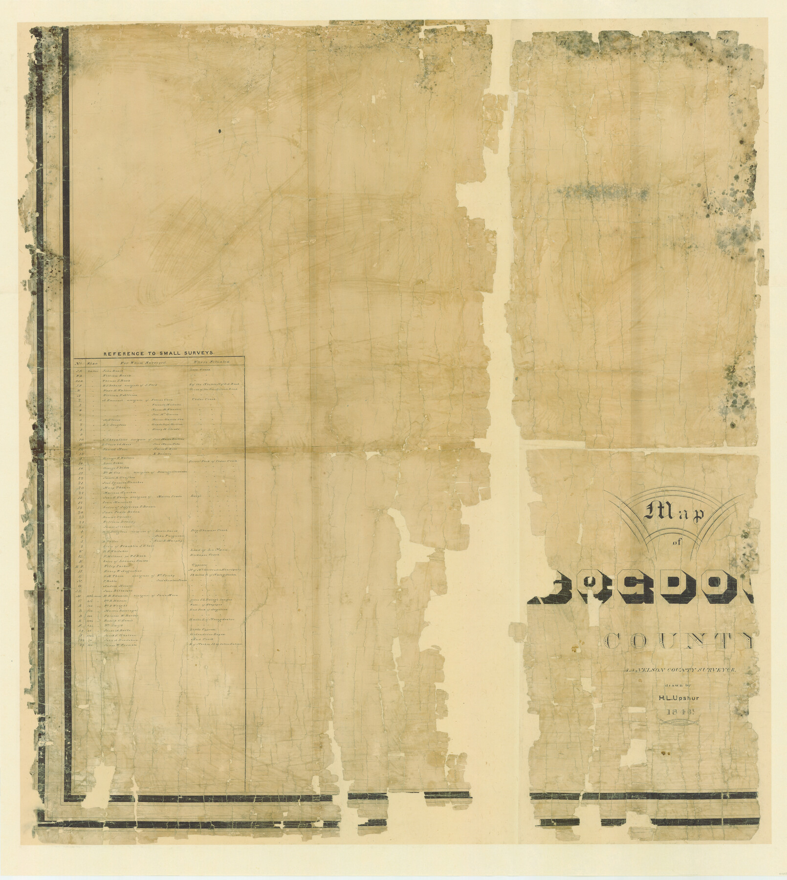
Map of Nacogdoches County
-
Map/Doc
87355
-
Collection
General Map Collection
-
Object Dates
1846 (Creation Date)
-
People and Organizations
A.A. Nelson (Surveyor/Engineer)
H.L. Upshur (Draftsman)
-
Counties
Nacogdoches
-
Subjects
County
-
Height x Width
44.7 x 40.0 inches
113.5 x 101.6 cm
-
Comments
Adopted in 2006 in Memory of Charles Wallace Pratt by loved ones and conservation funded in 2007.
Digital composition of counter numbers 87355, 87356, 87357 and 87358.
Prints made at 65%.
Related maps
Map of Nacogdoches County

Print $20.00
- Digital $50.00
Map of Nacogdoches County
1846
Size 43.9 x 39.7 inches
Map/Doc 87356
Map of Nacogdoches County

Print $20.00
- Digital $50.00
Map of Nacogdoches County
1846
Size 43.8 x 39.2 inches
Map/Doc 87357
Map of Nacogdoches County

Print $20.00
- Digital $50.00
Map of Nacogdoches County
1846
Size 42.7 x 40.0 inches
Map/Doc 87358
Part of: General Map Collection
Flight Mission No. CUG-3P, Frame 20, Kleberg County

Print $20.00
- Digital $50.00
Flight Mission No. CUG-3P, Frame 20, Kleberg County
1956
Size 18.4 x 22.3 inches
Map/Doc 86230
Real County Working Sketch 79

Print $20.00
- Digital $50.00
Real County Working Sketch 79
1981
Size 19.8 x 22.2 inches
Map/Doc 71971
Bastrop County Working Sketch 15

Print $20.00
- Digital $50.00
Bastrop County Working Sketch 15
1993
Size 23.5 x 21.1 inches
Map/Doc 67315
Boundary and Ownership map, Laguna Atascosa National Wildlife Refuge, Cameron and Willacy Counties, Texas

Print $40.00
- Digital $50.00
Boundary and Ownership map, Laguna Atascosa National Wildlife Refuge, Cameron and Willacy Counties, Texas
1968
Size 73.1 x 43.0 inches
Map/Doc 60394
Jefferson County Working Sketch 38

Print $20.00
- Digital $50.00
Jefferson County Working Sketch 38
1984
Size 32.6 x 43.2 inches
Map/Doc 66582
Flight Mission No. CRK-5P, Frame 155, Refugio County

Print $20.00
- Digital $50.00
Flight Mission No. CRK-5P, Frame 155, Refugio County
1956
Size 18.7 x 22.6 inches
Map/Doc 86936
Map of survey of the 100th Meridian west longitude, extending from the north bank of Red River to the intersection of the Northern Boundary of the Creek or Seminole Country

Print $20.00
- Digital $50.00
Map of survey of the 100th Meridian west longitude, extending from the north bank of Red River to the intersection of the Northern Boundary of the Creek or Seminole Country
1859
Size 30.8 x 9.9 inches
Map/Doc 3091
Sutton County Rolled Sketch 52

Print $20.00
- Digital $50.00
Sutton County Rolled Sketch 52
1950
Size 20.8 x 35.2 inches
Map/Doc 7892
Howard County Sketch File 7

Print $20.00
- Digital $50.00
Howard County Sketch File 7
Size 21.7 x 13.8 inches
Map/Doc 11795
Terrell County

Print $40.00
- Digital $50.00
Terrell County
1931
Size 48.5 x 40.5 inches
Map/Doc 73300
Hood County Working Sketch 32

Print $20.00
- Digital $50.00
Hood County Working Sketch 32
2004
Size 28.5 x 35.6 inches
Map/Doc 83573
Louisiana and Texas Intracoastal Waterway

Print $20.00
- Digital $50.00
Louisiana and Texas Intracoastal Waterway
Size 13.9 x 19.0 inches
Map/Doc 83347
You may also like
Double Lakes No. 1, T-Ranch

Print $20.00
- Digital $50.00
Double Lakes No. 1, T-Ranch
Size 37.1 x 34.0 inches
Map/Doc 92944
Sabine and Neches Rivers

Print $20.00
- Digital $50.00
Sabine and Neches Rivers
1976
Size 19.8 x 44.9 inches
Map/Doc 69819
Calhoun County Sketch File 12

Print $120.00
- Digital $50.00
Calhoun County Sketch File 12
Size 23.0 x 36.9 inches
Map/Doc 11033
Armstrong County Sketch File 6

Print $26.00
- Digital $50.00
Armstrong County Sketch File 6
Size 12.8 x 8.2 inches
Map/Doc 13689
Flight Mission No. DQN-6K, Frame 13, Calhoun County

Print $20.00
- Digital $50.00
Flight Mission No. DQN-6K, Frame 13, Calhoun County
1953
Size 18.5 x 22.2 inches
Map/Doc 84435
Texas 1972 Official Highway Travel Map

Digital $50.00
Texas 1972 Official Highway Travel Map
Size 28.2 x 36.4 inches
Map/Doc 94314
[Block B and surrounding areas]
![90331, [Block B and surrounding areas], Twichell Survey Records](https://historictexasmaps.com/wmedia_w700/maps/90331-1.tif.jpg)
Print $20.00
- Digital $50.00
[Block B and surrounding areas]
Size 20.3 x 20.3 inches
Map/Doc 90331
Uvalde County Working Sketch 32

Print $20.00
- Digital $50.00
Uvalde County Working Sketch 32
1962
Size 27.2 x 41.8 inches
Map/Doc 72102
DeWitt County Boundary File 2

Print $30.00
- Digital $50.00
DeWitt County Boundary File 2
Size 10.6 x 8.0 inches
Map/Doc 52498
[Beaumont, Sour Lake and Western Ry. Right of Way and Alignment - Frisco]
![64111, [Beaumont, Sour Lake and Western Ry. Right of Way and Alignment - Frisco], General Map Collection](https://historictexasmaps.com/wmedia_w700/maps/64111.tif.jpg)
Print $20.00
- Digital $50.00
[Beaumont, Sour Lake and Western Ry. Right of Way and Alignment - Frisco]
1910
Size 19.8 x 45.9 inches
Map/Doc 64111
Kimble County Working Sketch 68

Print $20.00
- Digital $50.00
Kimble County Working Sketch 68
1965
Size 23.1 x 31.5 inches
Map/Doc 70136
Mitchell County

Print $20.00
- Digital $50.00
Mitchell County
1889
Size 42.3 x 35.7 inches
Map/Doc 10792