Flight Mission No. BRE-1P, Frame 50, Nueces County
BRE-1P-50
-
Map/Doc
86639
-
Collection
General Map Collection
-
Object Dates
1956/1/13 (Creation Date)
-
People and Organizations
U. S. Department of Agriculture (Publisher)
-
Counties
Nueces
-
Subjects
Aerial Photograph
-
Height x Width
18.5 x 22.3 inches
47.0 x 56.6 cm
-
Comments
Flown by V. L. Beavers and Associates of San Antonio, Texas.
Part of: General Map Collection
Right of Way and Track Map Houston & Texas Central R.R. operated by the T. and N. O. R.R. Co., Fort Worth Branch


Print $40.00
- Digital $50.00
Right of Way and Track Map Houston & Texas Central R.R. operated by the T. and N. O. R.R. Co., Fort Worth Branch
1918
Size 31.1 x 57.4 inches
Map/Doc 64540
Trinity County Rolled Sketch 1

Print $20.00
- Digital $50.00
Trinity County Rolled Sketch 1
Size 23.0 x 34.7 inches
Map/Doc 8051
Terrell County Rolled Sketch 35

Print $20.00
- Digital $50.00
Terrell County Rolled Sketch 35
1938
Size 20.5 x 39.3 inches
Map/Doc 7940
Mitchell County Working Sketch 2

Print $20.00
- Digital $50.00
Mitchell County Working Sketch 2
1922
Size 14.8 x 18.1 inches
Map/Doc 71059
Hamilton County Sketch File 13

Print $40.00
- Digital $50.00
Hamilton County Sketch File 13
1876
Size 12.0 x 16.7 inches
Map/Doc 24935
Brazos County Sketch File 1

Print $4.00
- Digital $50.00
Brazos County Sketch File 1
1858
Size 10.4 x 7.6 inches
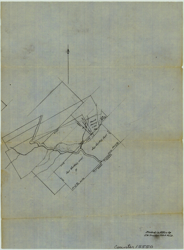
Map/Doc 15550
Fort Bend County Working Sketch 21


Print $20.00
- Digital $50.00
Fort Bend County Working Sketch 21
Size 26.9 x 28.6 inches
Map/Doc 69227
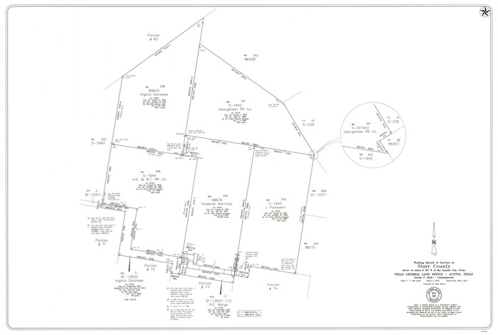
Starr County Working Sketch 30

Print $20.00
- Digital $50.00
Starr County Working Sketch 30
2015
Size 24.6 x 36.6 inches
Map/Doc 93750
Navarro County Sketch File 9


Print $2.00
- Digital $50.00
Navarro County Sketch File 9
Size 8.3 x 9.1 inches
Map/Doc 32317
Flight Mission No. DQN-2K, Frame 5, Calhoun County

Print $20.00
- Digital $50.00
Flight Mission No. DQN-2K, Frame 5, Calhoun County
1953
Size 18.5 x 22.2 inches
Map/Doc 84222
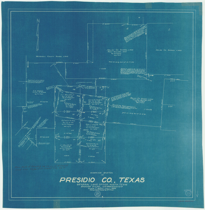
Presidio County Working Sketch 18

Print $20.00
- Digital $50.00
Presidio County Working Sketch 18
1943
Size 26.0 x 25.4 inches
Map/Doc 71694
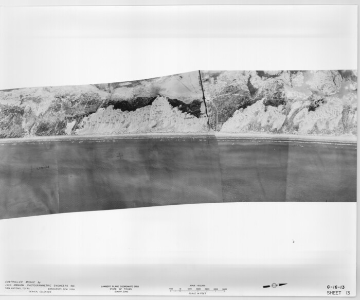
Controlled Mosaic by Jack Amman Photogrammetric Engineers, Inc - Sheet 13

Print $20.00
- Digital $50.00
Controlled Mosaic by Jack Amman Photogrammetric Engineers, Inc - Sheet 13
1954
Size 20.0 x 24.0 inches
Map/Doc 83457
You may also like
Angelina County Working Sketch 22a


Print $20.00
- Digital $50.00
Angelina County Working Sketch 22a
1953
Size 22.3 x 20.1 inches
Map/Doc 67103
Ochiltree County Boundary File 6


Print $4.00
- Digital $50.00
Ochiltree County Boundary File 6
Size 11.1 x 8.6 inches
Map/Doc 57713
General Highway Map, Zapata County, Texas


Print $20.00
General Highway Map, Zapata County, Texas
1961
Size 18.2 x 24.8 inches
Map/Doc 79721
[McK. & Williams No. 601 and surrounding surveys, Travis County]
![75553, [McK. & Williams No. 601 and surrounding surveys, Travis County], Maddox Collection](https://historictexasmaps.com/wmedia_w700/maps/75553.tif.jpg)
![75553, [McK. & Williams No. 601 and surrounding surveys, Travis County], Maddox Collection](https://historictexasmaps.com/wmedia_w700/maps/75553.tif.jpg)
Print $3.00
- Digital $50.00
[McK. & Williams No. 601 and surrounding surveys, Travis County]
Size 16.3 x 10.7 inches
Map/Doc 75553
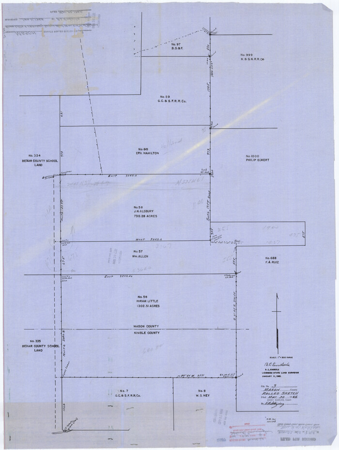
Mason County Rolled Sketch 3

Print $20.00
- Digital $50.00
Mason County Rolled Sketch 3
1965
Size 30.3 x 22.8 inches
Map/Doc 6676
Flight Mission No. CZW-1R, Frame 116, Hardeman County


Print $20.00
- Digital $50.00
Flight Mission No. CZW-1R, Frame 116, Hardeman County
1956
Size 18.6 x 19.0 inches
Map/Doc 85235
Terry County Boundary File 5
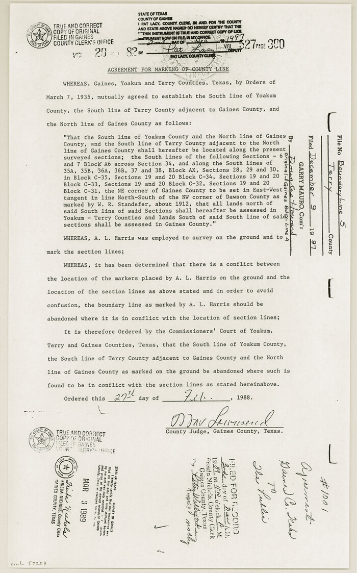

Print $2.00
- Digital $50.00
Terry County Boundary File 5
Size 14.2 x 8.9 inches
Map/Doc 59257
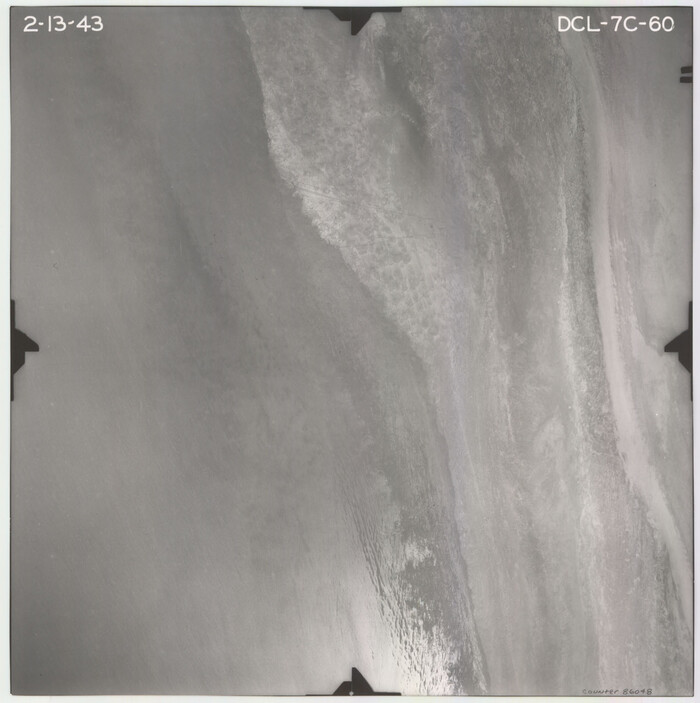
Flight Mission No. DCL-7C, Frame 60, Kenedy County

Print $20.00
- Digital $50.00
Flight Mission No. DCL-7C, Frame 60, Kenedy County
1943
Size 15.3 x 15.3 inches
Map/Doc 86048
Dickens County Rolled Sketch P3

Print $20.00
- Digital $50.00
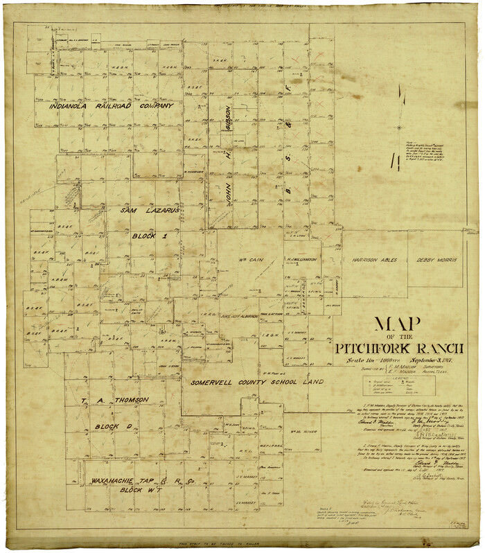
Dickens County Rolled Sketch P3
1917
Size 41.4 x 36.1 inches
Map/Doc 8785
Zapata County Working Sketch 15


Print $20.00
- Digital $50.00
Zapata County Working Sketch 15
1969
Size 38.2 x 38.7 inches
Map/Doc 62066
Edwards County Working Sketch 139

Print $20.00
- Digital $50.00
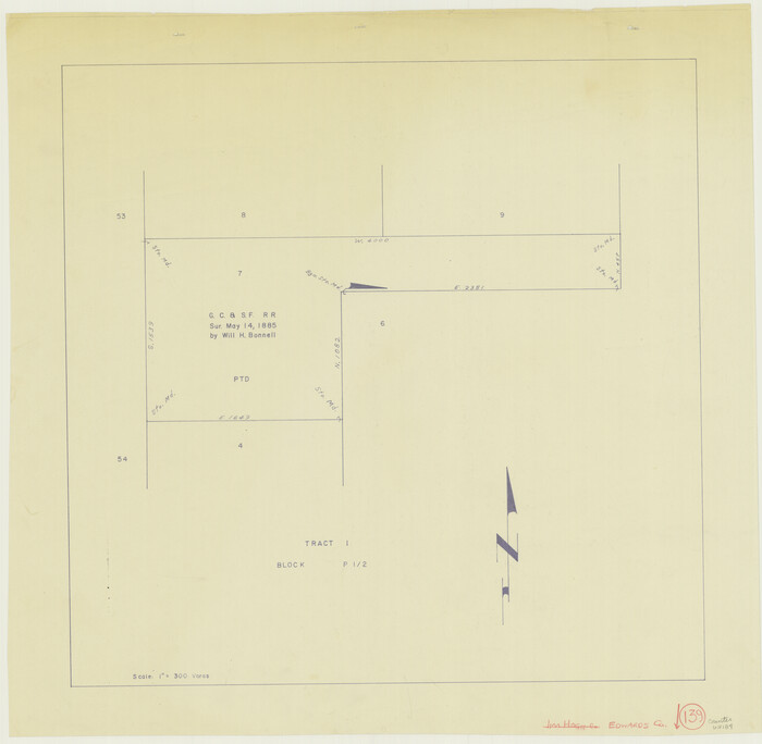
Edwards County Working Sketch 139
Size 20.9 x 21.4 inches
Map/Doc 62184
[B. S. & F. Block B]
![91250, [B. S. & F. Block B], Twichell Survey Records](https://historictexasmaps.com/wmedia_w700/maps/91250-1.tif.jpg)
![91250, [B. S. & F. Block B], Twichell Survey Records](https://historictexasmaps.com/wmedia_w700/maps/91250-1.tif.jpg)
Print $3.00
- Digital $50.00
[B. S. & F. Block B]
Size 11.2 x 17.8 inches
Map/Doc 91250
