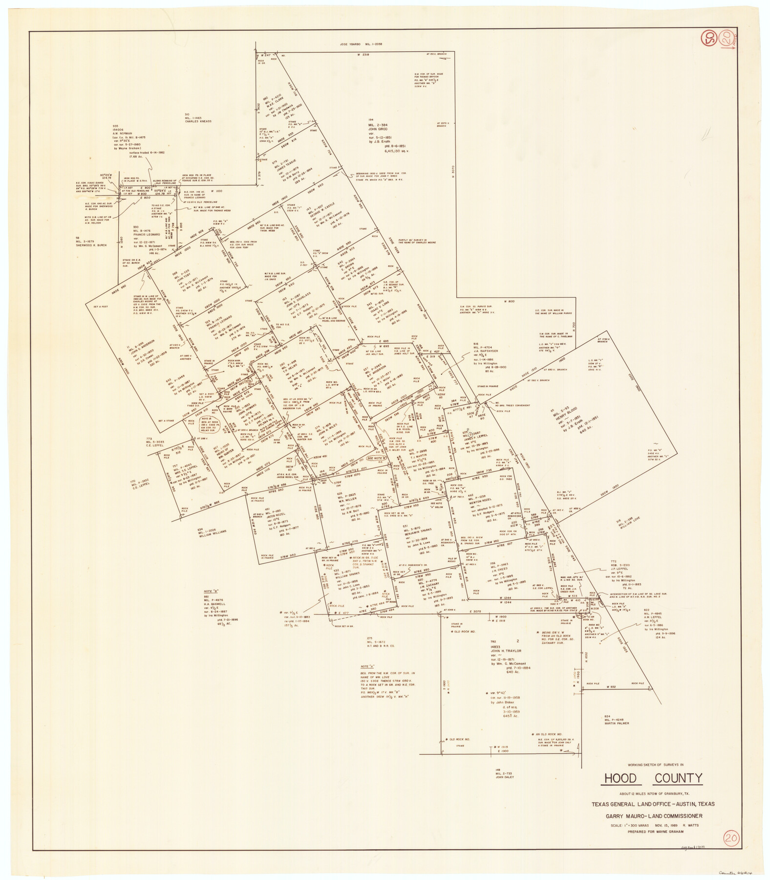
Hood County Working Sketch 20
- 
                          Map/Doc
66214
 - 
                            Collection
General Map Collection
 - 
                            Object Dates
11/15/1989 (Creation Date)
 - 
                            People and Organizations
R. Watts (Draftsman)
 - 
                            Counties
Hood
 - 
                            Subjects
Surveying Working Sketch
 - 
                            Height x Width
39.6 x 34.7 inches
100.6 x 88.1 cm
 - 
                            Scale
1" = 300 varas
 
Part of: General Map Collection
            Brewster County Rolled Sketch 60


                                            Print $40.00                    
                                             -                         Digital $50.00                                    
                Brewster County Rolled Sketch 60
Size 36.7 x 50.8 inches
                                Map/Doc 9200
            
            Kleberg County Rolled Sketch 10-1


                                            Print $20.00                    
                                             -                         Digital $50.00                                    
                Kleberg County Rolled Sketch 10-1
1951
Size 36.9 x 32.2 inches
                                Map/Doc 9383
            
            Map of Trinity County


                                            Print $20.00                    
                                             -                         Digital $50.00                                    
                Map of Trinity County
1862
Size 21.0 x 31.3 inches
                                Map/Doc 4096
            
            Wilbarger County Working Sketch 2b


                                            Print $20.00                    
                                             -                         Digital $50.00                                    
                Wilbarger County Working Sketch 2b
1922
Size 19.8 x 20.0 inches
                                Map/Doc 72540
            
            Motley County Sketch File 19 (N)


                                            Print $24.00                    
                                             -                         Digital $50.00                                    
                Motley County Sketch File 19 (N)
1940
Size 14.2 x 8.8 inches
                                Map/Doc 32064
            
            Kendall County Working Sketch 3


                                            Print $20.00                    
                                             -                         Digital $50.00                                    
                Kendall County Working Sketch 3
1941
Size 18.0 x 18.3 inches
                                Map/Doc 66675
            
            Clay County Sketch File 46


                                            Print $20.00                    
                                             -                         Digital $50.00                                    
                Clay County Sketch File 46
1890
Size 18.9 x 19.3 inches
                                Map/Doc 11098
            
            Brown County Working Sketch 13


                                            Print $20.00                    
                                             -                         Digital $50.00                                    
                Brown County Working Sketch 13
1985
Size 34.1 x 30.4 inches
                                Map/Doc 67778
            
            Van Zandt County Sketch File 36


                                            Print $4.00                    
                                             -                         Digital $50.00                                    
                Van Zandt County Sketch File 36
1864
Size 8.0 x 10.4 inches
                                Map/Doc 39478
            
            Index Map No. 1 - Rio Bravo del Norte section of boundary between the United States & Mexico; agreed upon by the Joint Commission under the Treaty of Guadalupe Hidalgo


                                            Print $20.00                    
                                             -                         Digital $50.00                                    
                Index Map No. 1 - Rio Bravo del Norte section of boundary between the United States & Mexico; agreed upon by the Joint Commission under the Treaty of Guadalupe Hidalgo
1852
Size 18.3 x 27.5 inches
                                Map/Doc 72860
            
            Colorado River, Glen Flora Sheet


                                            Print $6.00                    
                                             -                         Digital $50.00                                    
                Colorado River, Glen Flora Sheet
1941
Size 24.5 x 32.6 inches
                                Map/Doc 65310
            
            Jeff Davis County Working Sketch 29


                                            Print $20.00                    
                                             -                         Digital $50.00                                    
                Jeff Davis County Working Sketch 29
1967
Size 25.8 x 41.6 inches
                                Map/Doc 66524
            You may also like
            Glasscock County Sketch File 14


                                            Print $8.00                    
                                             -                         Digital $50.00                                    
                Glasscock County Sketch File 14
1935
Size 11.3 x 8.6 inches
                                Map/Doc 24178
            
            Dawson County Sketch File 26


                                            Print $10.00                    
                                             -                         Digital $50.00                                    
                Dawson County Sketch File 26
Size 14.7 x 9.1 inches
                                Map/Doc 20583
            
            Johnson County Rolled Sketch 1


                                            Print $20.00                    
                                             -                         Digital $50.00                                    
                Johnson County Rolled Sketch 1
1941
Size 19.4 x 33.4 inches
                                Map/Doc 6446
            
            General Highway Map, Travis County, Texas


                                            Print $20.00                    
                                    
                General Highway Map, Travis County, Texas
1940
Size 18.3 x 24.9 inches
                                Map/Doc 79261
            
            Hall County Working Sketch 10


                                            Print $20.00                    
                                             -                         Digital $50.00                                    
                Hall County Working Sketch 10
1983
Size 34.3 x 42.9 inches
                                Map/Doc 63338
            
            Palo Pinto County Sketch File 20


                                            Print $6.00                    
                                             -                         Digital $50.00                                    
                Palo Pinto County Sketch File 20
1891
Size 12.5 x 10.9 inches
                                Map/Doc 33402
            
            Harris County Rolled Sketch 72


                                            Print $40.00                    
                                             -                         Digital $50.00                                    
                Harris County Rolled Sketch 72
1945
Size 23.0 x 48.3 inches
                                Map/Doc 9132
            
            [Town Plat of Lamar]


                                            Print $20.00                    
                                             -                         Digital $50.00                                    
                [Town Plat of Lamar]
Size 19.0 x 25.0 inches
                                Map/Doc 4462
            
            Wise County Working Sketch Graphic Index


                                            Print $20.00                    
                                             -                         Digital $50.00                                    
                Wise County Working Sketch Graphic Index
1942
Size 44.9 x 37.9 inches
                                Map/Doc 76745
            
            General Highway Map, Nueces County, Texas


                                            Print $20.00                    
                                    
                General Highway Map, Nueces County, Texas
1940
Size 24.6 x 18.5 inches
                                Map/Doc 79209
            
            Texas Gulf Coast, from the Sabine River to the Rio Grande as Subdivided for Mineral Development; Jefferson, Chambers and Galveston Counties


                                            Print $20.00                    
                                             -                         Digital $50.00                                    
                Texas Gulf Coast, from the Sabine River to the Rio Grande as Subdivided for Mineral Development; Jefferson, Chambers and Galveston Counties
1976
Size 29.0 x 42.5 inches
                                Map/Doc 1937
            
            Mills County Boundary File 9


                                            Print $40.00                    
                                             -                         Digital $50.00                                    
                Mills County Boundary File 9
Size 13.7 x 8.6 inches
                                Map/Doc 57318