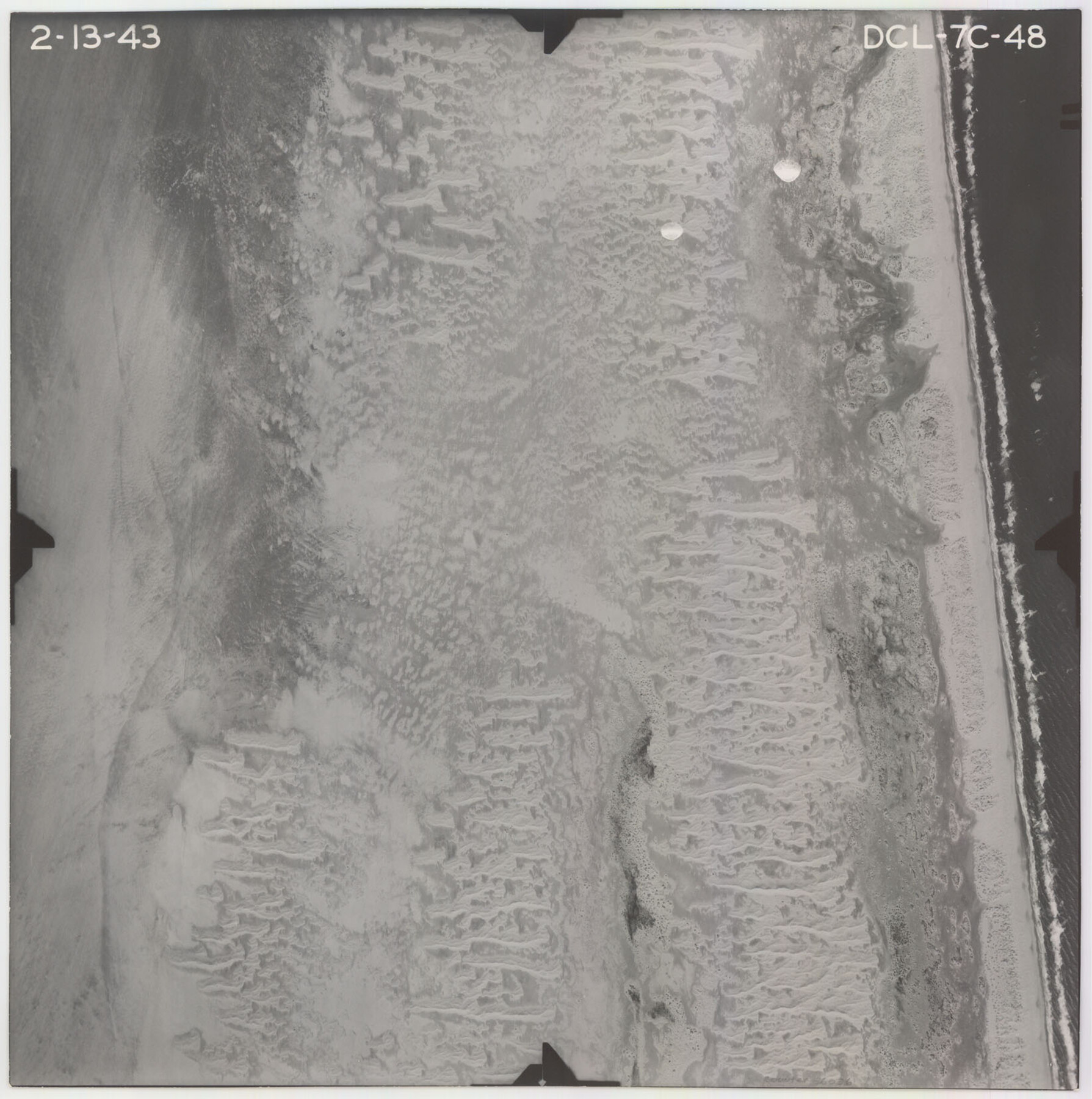
Flight Mission No. DCL-7C, Frame 48, Kenedy County
DCL-7C-48
-
Map/Doc
86036
-
Collection
General Map Collection
-
Object Dates
1943/2/13 (Creation Date)
-
People and Organizations
U. S. Department of Agriculture (Publisher)
-
Counties
Kenedy
-
Subjects
Aerial Photograph
-
Height x Width
16.6 x 16.5 inches
42.2 x 41.9 cm
-
Comments
Flown by Aerial Surveys of Pittsburgh, Inc. of Pittsburgh, Pennsylvania.
Part of: General Map Collection
Flight Mission No. DQN-2K, Frame 135, Calhoun County

Print $20.00
- Digital $50.00
Flight Mission No. DQN-2K, Frame 135, Calhoun County
1953
Size 19.0 x 22.5 inches
Map/Doc 84304
Texas Exhibit No. 84 - [Texas and Oklahoma Red River Boundary]
![75261, Texas Exhibit No. 84 - [Texas and Oklahoma Red River Boundary], General Map Collection](https://historictexasmaps.com/wmedia_w700/maps/75261.tif.jpg)
Print $40.00
- Digital $50.00
Texas Exhibit No. 84 - [Texas and Oklahoma Red River Boundary]
1921
Size 35.6 x 52.3 inches
Map/Doc 75261
Trinity County Boundary File 102

Print $14.00
- Digital $50.00
Trinity County Boundary File 102
Size 9.2 x 4.6 inches
Map/Doc 59480
Terrell County Sketch File 17

Print $13.00
- Digital $50.00
Terrell County Sketch File 17
Size 10.1 x 8.1 inches
Map/Doc 37935
Gulf Oil Corp. Fishgide - Freeport

Gulf Oil Corp. Fishgide - Freeport
1960
Size 12.1 x 22.1 inches
Map/Doc 75979
Zapata County Rolled Sketch 12A

Print $40.00
- Digital $50.00
Zapata County Rolled Sketch 12A
1917
Size 54.0 x 40.0 inches
Map/Doc 10165
Lipscomb County Working Sketch 7

Print $20.00
- Digital $50.00
Lipscomb County Working Sketch 7
1982
Size 42.7 x 21.4 inches
Map/Doc 70583
Callahan County Working Sketch 11

Print $40.00
- Digital $50.00
Callahan County Working Sketch 11
1978
Size 43.0 x 48.1 inches
Map/Doc 67893
Map of Ferguson State Farm, Madison County, Texas

Print $20.00
- Digital $50.00
Map of Ferguson State Farm, Madison County, Texas
Size 21.6 x 26.1 inches
Map/Doc 62989
Brewster County Working Sketch 35

Print $20.00
- Digital $50.00
Brewster County Working Sketch 35
1943
Size 21.0 x 19.4 inches
Map/Doc 67569
Ward County Working Sketch 34

Print $20.00
- Digital $50.00
Ward County Working Sketch 34
1968
Size 26.7 x 30.5 inches
Map/Doc 72340
Cochran County Boundary File 3a

Print $34.00
- Digital $50.00
Cochran County Boundary File 3a
Size 11.2 x 8.8 inches
Map/Doc 51538
You may also like
Flight Mission No. CLL-3N, Frame 6, Willacy County

Print $20.00
- Digital $50.00
Flight Mission No. CLL-3N, Frame 6, Willacy County
1954
Size 18.5 x 22.2 inches
Map/Doc 87072
Flight Mission No. BRE-2P, Frame 131, Nueces County

Print $20.00
- Digital $50.00
Flight Mission No. BRE-2P, Frame 131, Nueces County
1956
Size 18.6 x 22.5 inches
Map/Doc 86804
San Jacinto County Sketch File 20

Print $20.00
San Jacinto County Sketch File 20
1939
Size 16.6 x 19.9 inches
Map/Doc 12282
[Littlefield Subdivision Blocks 657-687]
![91009, [Littlefield Subdivision Blocks 657-687], Twichell Survey Records](https://historictexasmaps.com/wmedia_w700/maps/91009-1.tif.jpg)
Print $20.00
- Digital $50.00
[Littlefield Subdivision Blocks 657-687]
Size 31.2 x 20.5 inches
Map/Doc 91009
Nueces County Sketch File 12

Print $4.00
- Digital $50.00
Nueces County Sketch File 12
1848
Size 9.8 x 8.7 inches
Map/Doc 32528
Flight Mission No. DQO-7K, Frame 76, Galveston County

Print $20.00
- Digital $50.00
Flight Mission No. DQO-7K, Frame 76, Galveston County
1952
Size 18.8 x 22.5 inches
Map/Doc 85103
Denton County Working Sketch 17

Print $20.00
- Digital $50.00
Denton County Working Sketch 17
1973
Size 31.6 x 33.6 inches
Map/Doc 68622
Map of the Texas & Pacific Railway and connections

Print $20.00
- Digital $50.00
Map of the Texas & Pacific Railway and connections
1899
Size 17.9 x 36.6 inches
Map/Doc 95765
[Surveying Sketch of Francisco Guerra, Antonio Ramirez, Diego Ynojosa, et al on Rio Grande, Starr County]
![5073, [Surveying Sketch of Francisco Guerra, Antonio Ramirez, Diego Ynojosa, et al on Rio Grande, Starr County], Maddox Collection](https://historictexasmaps.com/wmedia_w700/maps/5073-1.tif.jpg)
Print $20.00
- Digital $50.00
[Surveying Sketch of Francisco Guerra, Antonio Ramirez, Diego Ynojosa, et al on Rio Grande, Starr County]
1914
Size 21.7 x 13.0 inches
Map/Doc 5073
Brooks County Sketch File 5

Print $18.00
- Digital $50.00
Brooks County Sketch File 5
1941
Size 11.3 x 9.0 inches
Map/Doc 16551
Ward County Boundary File 2

Print $4.00
- Digital $50.00
Ward County Boundary File 2
Size 11.1 x 8.9 inches
Map/Doc 59673
Montgomery County Working Sketch 35

Print $20.00
- Digital $50.00
Montgomery County Working Sketch 35
1953
Size 26.6 x 21.7 inches
Map/Doc 71142