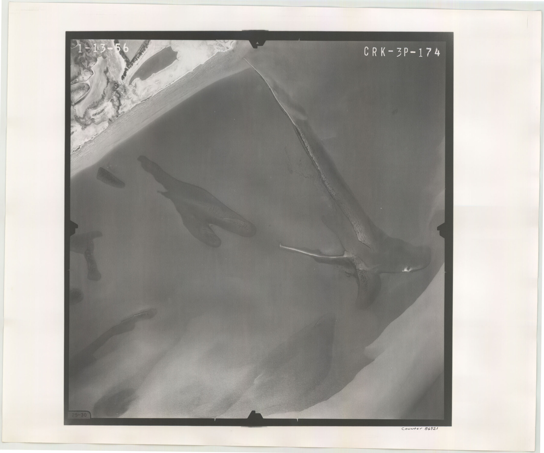
Flight Mission No. CRK-3P, Frame 174, Refugio County
CRK-3P-174
-
Map/Doc
86921
-
Collection
General Map Collection
-
Object Dates
1956/1/13 (Creation Date)
-
People and Organizations
U. S. Department of Agriculture (Publisher)
-
Counties
Refugio
-
Subjects
Aerial Photograph
-
Height x Width
18.6 x 22.3 inches
47.2 x 56.6 cm
-
Comments
Flown by V. L. Beavers and Associates of San Antonio, Texas.
Part of: General Map Collection
San Saba County Boundary File 1

Print $4.00
- Digital $50.00
San Saba County Boundary File 1
Size 14.2 x 8.7 inches
Map/Doc 58575
Grayson County Boundary File 3

Print $8.00
- Digital $50.00
Grayson County Boundary File 3
Size 12.8 x 7.9 inches
Map/Doc 53941
Flight Mission No. DQN-5K, Frame 33, Calhoun County

Print $20.00
- Digital $50.00
Flight Mission No. DQN-5K, Frame 33, Calhoun County
1953
Size 18.5 x 22.3 inches
Map/Doc 84384
San Patricio County Rolled Sketch 35

Print $20.00
- Digital $50.00
San Patricio County Rolled Sketch 35
1958
Size 26.6 x 26.9 inches
Map/Doc 7586
[Surveys in Vehlein's Colony along the San Jacinto River and Cedar Bayou]
![75, [Surveys in Vehlein's Colony along the San Jacinto River and Cedar Bayou], General Map Collection](https://historictexasmaps.com/wmedia_w700/maps/75.tif.jpg)
Print $20.00
- Digital $50.00
[Surveys in Vehlein's Colony along the San Jacinto River and Cedar Bayou]
1837
Size 17.5 x 15.1 inches
Map/Doc 75
Navarro County Sketch File 19

Print $14.00
- Digital $50.00
Navarro County Sketch File 19
1951
Size 11.4 x 8.8 inches
Map/Doc 32336
Flight Mission No. CRK-5P, Frame 153, Refugio County

Print $20.00
- Digital $50.00
Flight Mission No. CRK-5P, Frame 153, Refugio County
1956
Size 18.4 x 22.3 inches
Map/Doc 86934
Pecos County Sketch File 31 1/2

Print $20.00
- Digital $50.00
Pecos County Sketch File 31 1/2
1931
Size 34.3 x 23.4 inches
Map/Doc 12174
Collin County Sketch File 2

Print $8.00
- Digital $50.00
Collin County Sketch File 2
1848
Size 10.0 x 8.0 inches
Map/Doc 18858
Gaines County Rolled Sketch G3

Print $20.00
- Digital $50.00
Gaines County Rolled Sketch G3
1902
Size 22.7 x 31.4 inches
Map/Doc 5946
Crockett County Rolled Sketch 88A

Print $20.00
- Digital $50.00
Crockett County Rolled Sketch 88A
Size 29.9 x 18.6 inches
Map/Doc 5627
Shelby County Working Sketch 1

Print $20.00
- Digital $50.00
Shelby County Working Sketch 1
1917
Size 26.2 x 30.0 inches
Map/Doc 63854
You may also like
Upton County Sketch File 4

Print $40.00
- Digital $50.00
Upton County Sketch File 4
1886
Size 19.5 x 9.0 inches
Map/Doc 12510
Starr County Working Sketch 20

Print $20.00
- Digital $50.00
Starr County Working Sketch 20
1982
Size 29.5 x 35.2 inches
Map/Doc 63936
Martin County Working Sketch 11

Print $40.00
- Digital $50.00
Martin County Working Sketch 11
1971
Size 49.8 x 38.1 inches
Map/Doc 70829
Midland County Working Sketch 33

Print $20.00
- Digital $50.00
Midland County Working Sketch 33
1982
Size 38.2 x 36.2 inches
Map/Doc 71014
Port Series No. 6 - The Ports of Galveston, Houston, and Texas City, Texas

Port Series No. 6 - The Ports of Galveston, Houston, and Texas City, Texas
1924
Map/Doc 97159
Sutton County Working Sketch 57

Print $20.00
- Digital $50.00
Sutton County Working Sketch 57
1958
Size 37.7 x 32.9 inches
Map/Doc 62400
Lipscomb County Boundary File 3

Print $4.00
- Digital $50.00
Lipscomb County Boundary File 3
Size 8.2 x 6.5 inches
Map/Doc 56318
Map of Briscoe County, Texas

Print $20.00
- Digital $50.00
Map of Briscoe County, Texas
1879
Size 22.6 x 18.0 inches
Map/Doc 614
[Plat of Trinity River w/ Midstream Profile in Liberty County by US Government 1899]
![65335, [Plat of Trinity River w/ Midstream Profile in Liberty County by US Government 1899], General Map Collection](https://historictexasmaps.com/wmedia_w700/maps/65335.tif.jpg)
Print $20.00
- Digital $50.00
[Plat of Trinity River w/ Midstream Profile in Liberty County by US Government 1899]
1899
Size 11.5 x 18.3 inches
Map/Doc 65335
San Jacinto River, Proposed Dam Site/Huntsville State Park

Print $6.00
- Digital $50.00
San Jacinto River, Proposed Dam Site/Huntsville State Park
1937
Size 30.2 x 26.6 inches
Map/Doc 65151
Kimble County Working Sketch 32

Print $20.00
- Digital $50.00
Kimble County Working Sketch 32
1944
Size 22.6 x 16.0 inches
Map/Doc 70100
Erath County Sketch File 9

Print $4.00
- Digital $50.00
Erath County Sketch File 9
1870
Size 8.2 x 8.4 inches
Map/Doc 22273