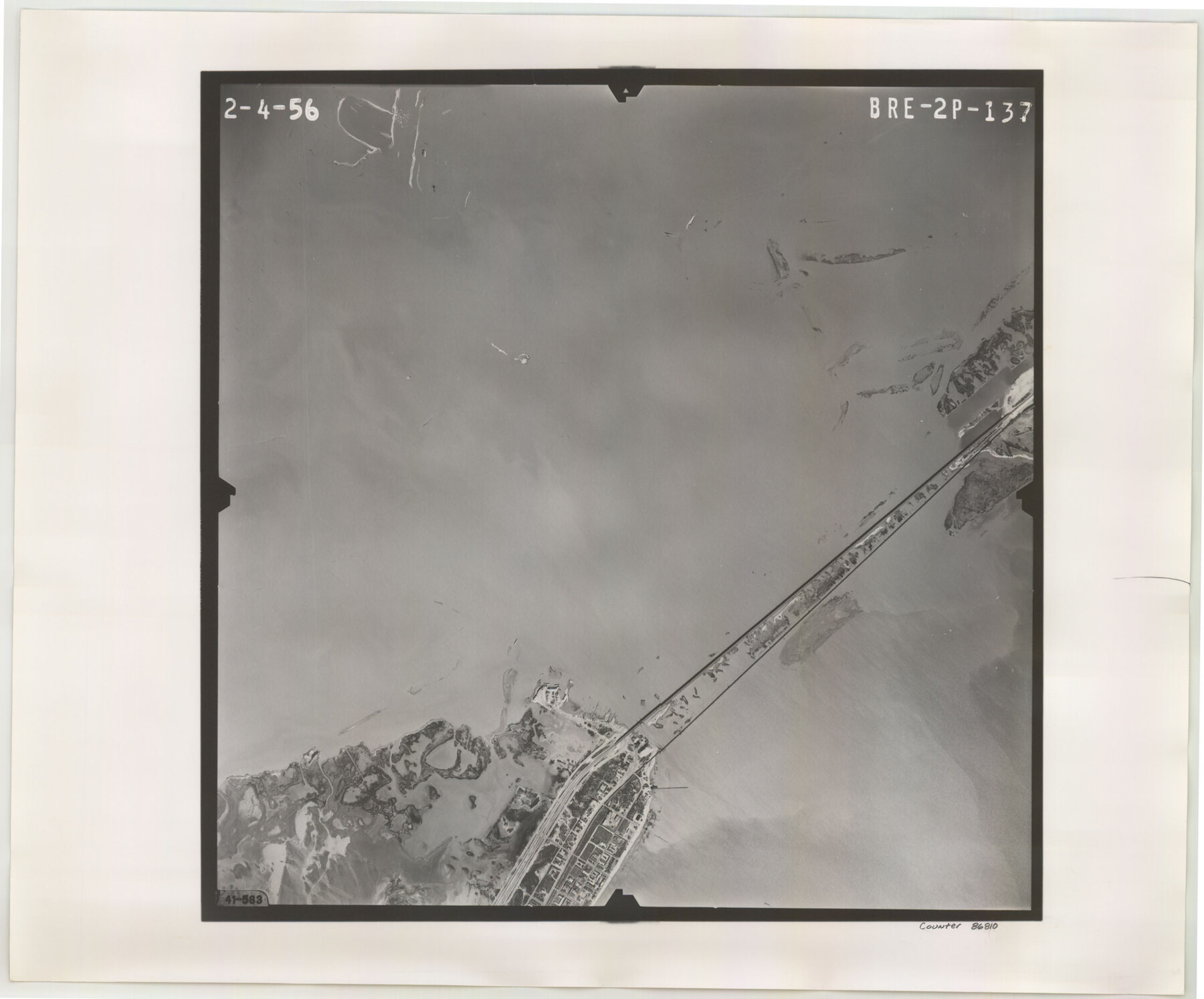
Flight Mission No. BRE-2P, Frame 137, Nueces County
BRE-2P-137
-
Map/Doc
86810
-
Collection
General Map Collection
-
Object Dates
1956/2/4 (Creation Date)
-
People and Organizations
U. S. Department of Agriculture (Publisher)
-
Counties
Nueces
-
Subjects
Aerial Photograph
-
Height x Width
18.6 x 22.4 inches
47.2 x 56.9 cm
-
Comments
Flown by V. L. Beavers and Associates of San Antonio, Texas.
Part of: General Map Collection
Map of Henderson County

Print $20.00
- Digital $50.00
Map of Henderson County
1871
Size 16.3 x 30.3 inches
Map/Doc 4563
Terry County Rolled Sketch 11

Print $20.00
- Digital $50.00
Terry County Rolled Sketch 11
2022
Size 37.1 x 25.1 inches
Map/Doc 97101

Map of Cass Co.

Print $20.00
- Digital $50.00
Map of Cass Co.
1862
Size 17.8 x 19.6 inches
Map/Doc 3372
Maverick County Working Sketch 16

Print $20.00
- Digital $50.00
Maverick County Working Sketch 16
1975
Size 38.1 x 27.6 inches
Map/Doc 70908
Travis County Rolled Sketch 35

Print $20.00
- Digital $50.00
Travis County Rolled Sketch 35
1949
Size 22.8 x 24.6 inches
Map/Doc 8036
Jefferson County Sketch File 28

Print $2.00
- Digital $50.00
Jefferson County Sketch File 28
1900
Size 9.2 x 8.6 inches
Map/Doc 28193
[Surveys in Montgomery County along the west San Jacinto River]
![28, [Surveys in Montgomery County along the west San Jacinto River], General Map Collection](https://historictexasmaps.com/wmedia_w700/maps/28.tif.jpg)
Print $2.00
- Digital $50.00
[Surveys in Montgomery County along the west San Jacinto River]
1841
Size 12.9 x 8.1 inches
Map/Doc 28
Shelby County Sketch File 12

Print $4.00
- Digital $50.00
Shelby County Sketch File 12
Size 8.2 x 10.3 inches
Map/Doc 36619
Cameron County Rolled Sketch 20C

Print $20.00
- Digital $50.00
Cameron County Rolled Sketch 20C
Size 13.1 x 11.9 inches
Map/Doc 5475
Rockwall County Working Sketch 2

Print $20.00
- Digital $50.00
Rockwall County Working Sketch 2
1923
Size 20.9 x 16.8 inches
Map/Doc 63594
Galveston County Sketch File 2a

Print $4.00
- Digital $50.00
Galveston County Sketch File 2a
1848
Size 14.3 x 8.8 inches
Map/Doc 23350
You may also like
Travis County Appraisal District Plat Map 2_3013

Print $20.00
- Digital $50.00
Travis County Appraisal District Plat Map 2_3013
Size 21.5 x 26.4 inches
Map/Doc 94220
[H. & T. C. Block 47 and part of G. & M. Block 3]
![91817, [H. & T. C. Block 47 and part of G. & M. Block 3], Twichell Survey Records](https://historictexasmaps.com/wmedia_w700/maps/91817-1.tif.jpg)
Print $20.00
- Digital $50.00
[H. & T. C. Block 47 and part of G. & M. Block 3]
Size 29.4 x 27.9 inches
Map/Doc 91817
Angelina County Working Sketch 35

Print $20.00
- Digital $50.00
Angelina County Working Sketch 35
1957
Size 27.4 x 29.6 inches
Map/Doc 67118
S. M. S. Flat Top Ranch

Print $6.00
- Digital $50.00
S. M. S. Flat Top Ranch
1955
Size 23.2 x 32.8 inches
Map/Doc 2102
Flight Mission No. CRC-2R, Frame 121, Chambers County

Print $20.00
- Digital $50.00
Flight Mission No. CRC-2R, Frame 121, Chambers County
1956
Size 18.7 x 22.4 inches
Map/Doc 84745
Flight Mission No. DCL-6C, Frame 114, Kenedy County

Print $20.00
- Digital $50.00
Flight Mission No. DCL-6C, Frame 114, Kenedy County
1943
Size 18.4 x 22.4 inches
Map/Doc 85944
Flight Mission No. BRA-7M, Frame 123, Jefferson County

Print $20.00
- Digital $50.00
Flight Mission No. BRA-7M, Frame 123, Jefferson County
1953
Size 18.7 x 22.3 inches
Map/Doc 85517
Flight Mission No. BRE-1P, Frame 151, Nueces County

Print $20.00
- Digital $50.00
Flight Mission No. BRE-1P, Frame 151, Nueces County
1956
Size 18.7 x 22.5 inches
Map/Doc 86711

Kimble County Working Sketch 84

Print $20.00
- Digital $50.00
Kimble County Working Sketch 84
1972
Size 32.5 x 30.7 inches
Map/Doc 70152
Hartley County Sketch File 17

Print $4.00
- Digital $50.00
Hartley County Sketch File 17
1892
Size 11.2 x 8.9 inches
Map/Doc 26115
Val Verde County Working Sketch 20

Print $20.00
- Digital $50.00
Val Verde County Working Sketch 20
1929
Size 30.5 x 20.2 inches
Map/Doc 72155