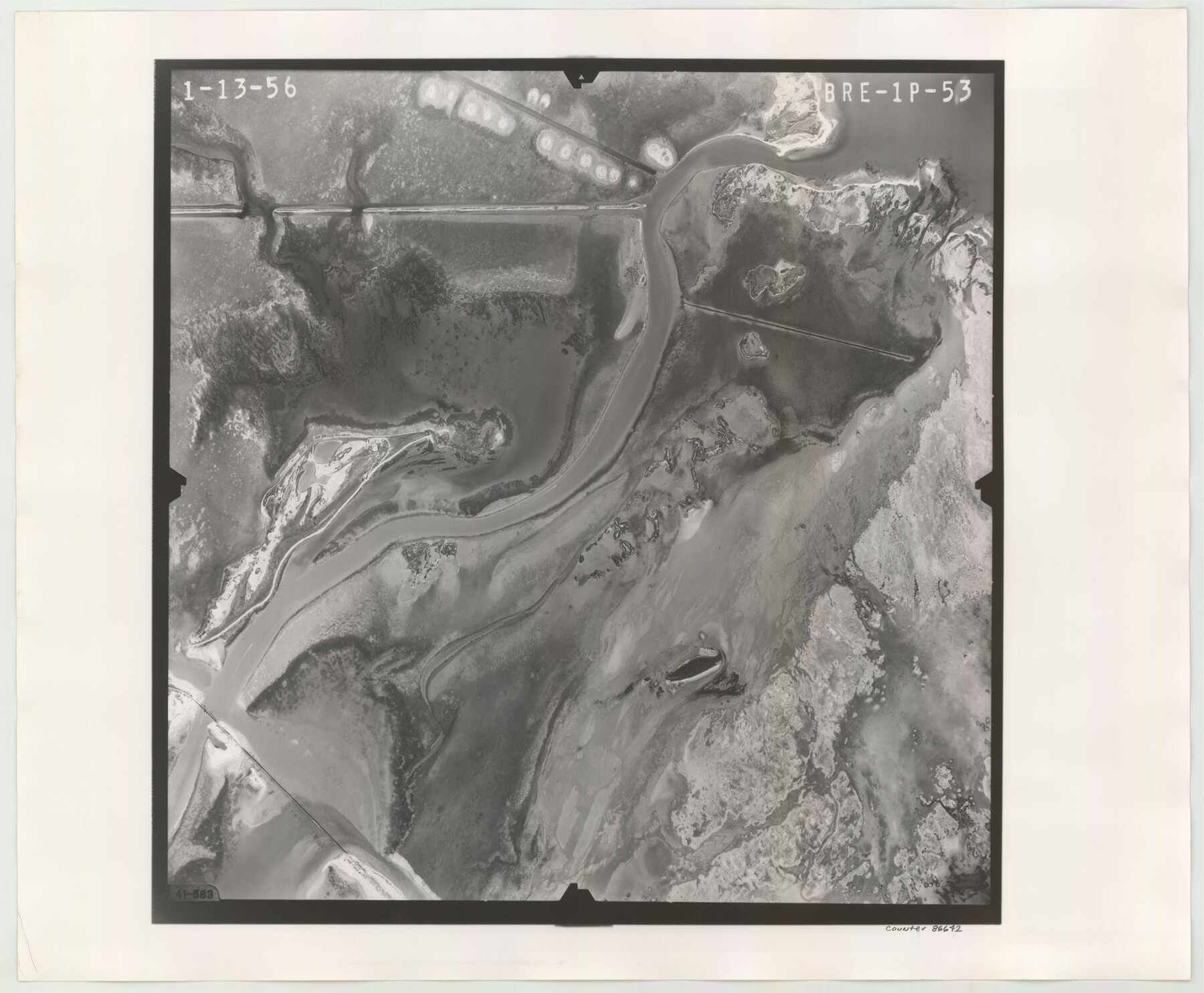
Flight Mission No. BRE-1P, Frame 53, Nueces County
BRE-1P-53
- 
                          Map/Doc
86642
 - 
                            Collection
General Map Collection
 - 
                            Object Dates
1956/1/13 (Creation Date)
 - 
                            People and Organizations
U. S. Department of Agriculture (Publisher)
 - 
                            Counties
Nueces
 - 
                            Subjects
Aerial Photograph
 - 
                            Height x Width
18.5 x 22.4 inches
47.0 x 56.9 cm
 - 
                            Comments
Flown by V. L. Beavers and Associates of San Antonio, Texas.
 
Part of: General Map Collection
            Marion County Rolled Sketch JMR


                                            Print $20.00                    
                                             -                         Digital $50.00                                    
                Marion County Rolled Sketch JMR
1954
Size 36.6 x 39.3 inches
                                Map/Doc 9489
            
            Jackson County Working Sketch 4


                                            Print $20.00                    
                                             -                         Digital $50.00                                    
                Jackson County Working Sketch 4
1941
Size 34.1 x 28.5 inches
                                Map/Doc 66452
            
            Map of University Land in McLennan County


                                            Print $20.00                    
                                             -                         Digital $50.00                                    
                Map of University Land in McLennan County
1905
Size 35.1 x 32.9 inches
                                Map/Doc 2432
            
            Terry County Sketch File 7


                                            Print $4.00                    
                                             -                         Digital $50.00                                    
                Terry County Sketch File 7
1924
Size 11.2 x 9.1 inches
                                Map/Doc 38030
            
            Stephens County Sketch File 27


                                            Print $6.00                    
                                             -                         Digital $50.00                                    
                Stephens County Sketch File 27
Size 9.7 x 8.5 inches
                                Map/Doc 37101
            
            Guadalupe County Sketch File 15b


                                            Print $4.00                    
                                             -                         Digital $50.00                                    
                Guadalupe County Sketch File 15b
1873
Size 10.3 x 8.4 inches
                                Map/Doc 24691
            
            Wise County Rolled Sketch 6


                                            Print $20.00                    
                                             -                         Digital $50.00                                    
                Wise County Rolled Sketch 6
2000
Size 32.0 x 43.1 inches
                                Map/Doc 8280
            
            Schleicher County Working Sketch 27


                                            Print $20.00                    
                                             -                         Digital $50.00                                    
                Schleicher County Working Sketch 27
1974
Size 26.2 x 31.8 inches
                                Map/Doc 63829
            
            Harris County Working Sketch 100


                                            Print $20.00                    
                                             -                         Digital $50.00                                    
                Harris County Working Sketch 100
1979
Size 29.9 x 31.3 inches
                                Map/Doc 65992
            
            Outer Continental Shelf Leasing Maps (Louisiana Offshore Operations)


                                            Print $20.00                    
                                             -                         Digital $50.00                                    
                Outer Continental Shelf Leasing Maps (Louisiana Offshore Operations)
1955
Size 12.4 x 12.7 inches
                                Map/Doc 76086
            
            Liberty County Working Sketch 12


                                            Print $20.00                    
                                             -                         Digital $50.00                                    
                Liberty County Working Sketch 12
1914
Size 14.0 x 17.5 inches
                                Map/Doc 70471
            
            Port Facilities at Texas City, Tex.


                                            Print $20.00                    
                                             -                         Digital $50.00                                    
                Port Facilities at Texas City, Tex.
Size 13.9 x 15.9 inches
                                Map/Doc 97161
            You may also like
            Map of Central Texas Oil Fields


                                            Print $20.00                    
                                    
                Map of Central Texas Oil Fields
1918
Size 27.1 x 21.5 inches
                                Map/Doc 76295
            
            Presidio County Sketch File 95


                                            Print $22.00                    
                                             -                         Digital $50.00                                    
                Presidio County Sketch File 95
1958
Size 12.7 x 16.4 inches
                                Map/Doc 34773
            
            Map of DeWitt County


                                            Print $20.00                    
                                             -                         Digital $50.00                                    
                Map of DeWitt County
1881
Size 22.9 x 26.5 inches
                                Map/Doc 3477
            
            Flight Mission No. DIX-8P, Frame 57, Aransas County


                                            Print $20.00                    
                                             -                         Digital $50.00                                    
                Flight Mission No. DIX-8P, Frame 57, Aransas County
1956
Size 18.7 x 22.4 inches
                                Map/Doc 83888
            
            San Jacinto County Rolled Sketch 6


                                            Print $20.00                    
                                             -                         Digital $50.00                                    
                San Jacinto County Rolled Sketch 6
Size 42.1 x 43.5 inches
                                Map/Doc 8361
            
            Fannin County Working Sketch 4


                                            Print $20.00                    
                                             -                         Digital $50.00                                    
                Fannin County Working Sketch 4
1925
Size 24.6 x 31.4 inches
                                Map/Doc 69158
            
            Louisiana and Texas Intracoastal Waterway - High Island to Port Bolivar Dredging - Sheet 5


                                            Print $20.00                    
                                             -                         Digital $50.00                                    
                Louisiana and Texas Intracoastal Waterway - High Island to Port Bolivar Dredging - Sheet 5
1943
Size 31.4 x 41.8 inches
                                Map/Doc 61824
            
            Map of Texas with population and location of principal towns and cities according to latest reliable statistics


                                            Print $20.00                    
                                             -                         Digital $50.00                                    
                Map of Texas with population and location of principal towns and cities according to latest reliable statistics
1913
Size 18.3 x 20.2 inches
                                Map/Doc 95879
            
            Flight Mission No. BQR-14K, Frame 37, Brazoria County


                                            Print $20.00                    
                                             -                         Digital $50.00                                    
                Flight Mission No. BQR-14K, Frame 37, Brazoria County
1952
Size 18.6 x 22.2 inches
                                Map/Doc 84094
            
            McCulloch County Sketch File 10


                                            Print $8.00                    
                                             -                         Digital $50.00                                    
                McCulloch County Sketch File 10
1920
Size 11.1 x 8.7 inches
                                Map/Doc 31187
            
            Hale County Sketch File 21


                                            Print $20.00                    
                                             -                         Digital $50.00                                    
                Hale County Sketch File 21
Size 7.0 x 26.6 inches
                                Map/Doc 11597
            
            Flight Mission No. BRA-7M, Frame 39, Jefferson County


                                            Print $20.00                    
                                             -                         Digital $50.00                                    
                Flight Mission No. BRA-7M, Frame 39, Jefferson County
1953
Size 18.7 x 22.5 inches
                                Map/Doc 85490