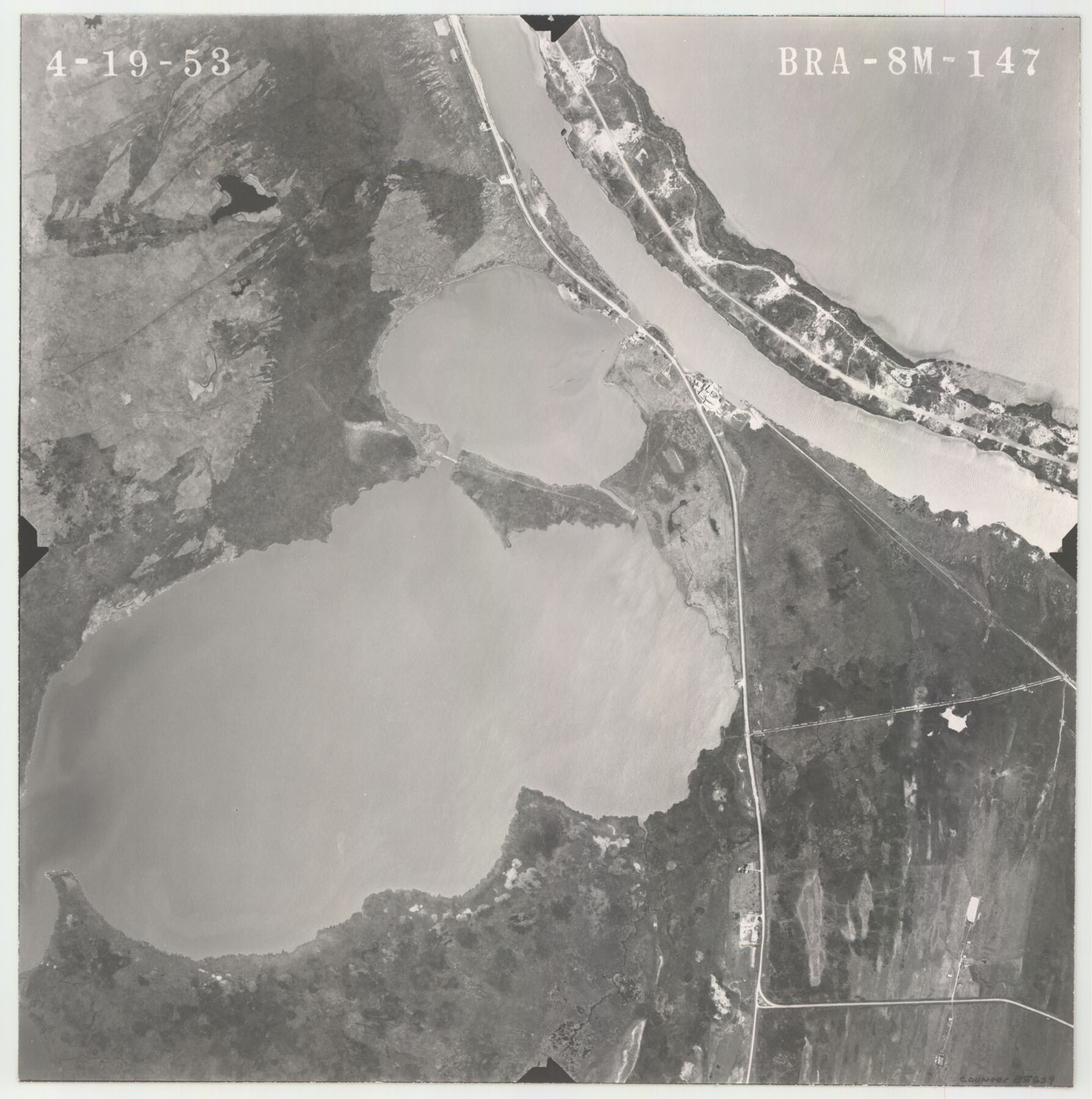
Flight Mission No. BRA-8M, Frame 147, Jefferson County
BRA-8M-147
-
Map/Doc
85639
-
Collection
General Map Collection
-
Object Dates
1953/4/19 (Creation Date)
-
People and Organizations
U. S. Department of Agriculture (Publisher)
-
Counties
Jefferson
-
Subjects
Aerial Photograph
-
Height x Width
16.0 x 15.9 inches
40.6 x 40.4 cm
-
Comments
Flown by Jack Ammann Photogrammetric Engineers of San Antonio, Texas.
Part of: General Map Collection
Hartley County Rolled Sketch 9

Print $20.00
- Digital $50.00
Hartley County Rolled Sketch 9
2001
Size 22.7 x 34.7 inches
Map/Doc 76407
Flight Mission No. CUG-3P, Frame 136, Kleberg County

Print $20.00
- Digital $50.00
Flight Mission No. CUG-3P, Frame 136, Kleberg County
1956
Size 18.5 x 22.3 inches
Map/Doc 86271
Flight Mission No. BRA-16M, Frame 91, Jefferson County

Print $20.00
- Digital $50.00
Flight Mission No. BRA-16M, Frame 91, Jefferson County
1953
Size 18.7 x 22.5 inches
Map/Doc 85703
Liberty County Working Sketch 88

Print $20.00
- Digital $50.00
Liberty County Working Sketch 88
1991
Size 19.6 x 38.8 inches
Map/Doc 70548
Crosby County Working Sketch 10

Print $20.00
- Digital $50.00
Crosby County Working Sketch 10
1946
Size 44.5 x 23.7 inches
Map/Doc 68444
Sutton County Rolled Sketch 70

Print $40.00
- Digital $50.00
Sutton County Rolled Sketch 70
Size 48.7 x 37.0 inches
Map/Doc 9982
Nolan County Sketch File 1

Print $48.00
- Digital $50.00
Nolan County Sketch File 1
1890
Size 14.1 x 8.5 inches
Map/Doc 32470
[Surveys in Burleson County]
![78355, [Surveys in Burleson County], General Map Collection](https://historictexasmaps.com/wmedia_w700/maps/78355.tif.jpg)
Print $20.00
- Digital $50.00
[Surveys in Burleson County]
Size 19.6 x 28.3 inches
Map/Doc 78355
Irion County Boundary File 3

Print $38.00
- Digital $50.00
Irion County Boundary File 3
Size 8.8 x 4.2 inches
Map/Doc 55339
Galveston County Sketch File 1

Print $4.00
- Digital $50.00
Galveston County Sketch File 1
Size 12.7 x 8.5 inches
Map/Doc 23346
Hamilton County Working Sketch 15

Print $40.00
- Digital $50.00
Hamilton County Working Sketch 15
1949
Size 54.5 x 37.6 inches
Map/Doc 63353
Map of South America engraved to illustrate Mitchell's new intermediate geography

Print $20.00
- Digital $50.00
Map of South America engraved to illustrate Mitchell's new intermediate geography
1885
Size 12.2 x 9.0 inches
Map/Doc 93525
You may also like
Bandera County Working Sketch 15

Print $20.00
- Digital $50.00
Bandera County Working Sketch 15
1938
Size 18.1 x 17.4 inches
Map/Doc 67608
Hutchinson County Sketch File 23

Print $22.00
- Digital $50.00
Hutchinson County Sketch File 23
1913
Size 11.2 x 8.8 inches
Map/Doc 27245
Maps & Lists Showing Prison Lands (Oil & Gas) Leased as of June 1955

Digital $50.00
Maps & Lists Showing Prison Lands (Oil & Gas) Leased as of June 1955
Size 11.4 x 7.1 inches
Map/Doc 62866
Crockett County Working Sketch 40

Print $20.00
- Digital $50.00
Crockett County Working Sketch 40
1928
Size 29.5 x 23.7 inches
Map/Doc 68373

[Map showing T&P Lands in El Paso County]
![88936, [Map showing T&P Lands in El Paso County], Library of Congress](https://historictexasmaps.com/wmedia_w700/maps/88936.tif.jpg)
Print $20.00
[Map showing T&P Lands in El Paso County]
Size 22.6 x 17.5 inches
Map/Doc 88936
Flight Mission No. CRE-1R, Frame 193, Jackson County

Print $20.00
- Digital $50.00
Flight Mission No. CRE-1R, Frame 193, Jackson County
1956
Size 18.5 x 22.2 inches
Map/Doc 85347
[Map of] North America
![88884, [Map of] North America, General Map Collection](https://historictexasmaps.com/wmedia_w700/maps/88884.tif.jpg)
Print $3.00
- Digital $50.00
[Map of] North America
1834
Size 11.0 x 8.5 inches
Map/Doc 88884
Controlled Mosaic by Jack Amman Photogrammetric Engineers, Inc - Sheet 18

Print $20.00
- Digital $50.00
Controlled Mosaic by Jack Amman Photogrammetric Engineers, Inc - Sheet 18
1954
Size 19.4 x 24.0 inches
Map/Doc 83463

Van Zandt County Rolled Sketch 10

Print $20.00
- Digital $50.00
Van Zandt County Rolled Sketch 10
1989
Size 33.7 x 40.6 inches
Map/Doc 10092
Orange County Sketch File 16a

Print $11.00
- Digital $50.00
Orange County Sketch File 16a
1891
Size 11.9 x 12.9 inches
Map/Doc 33332