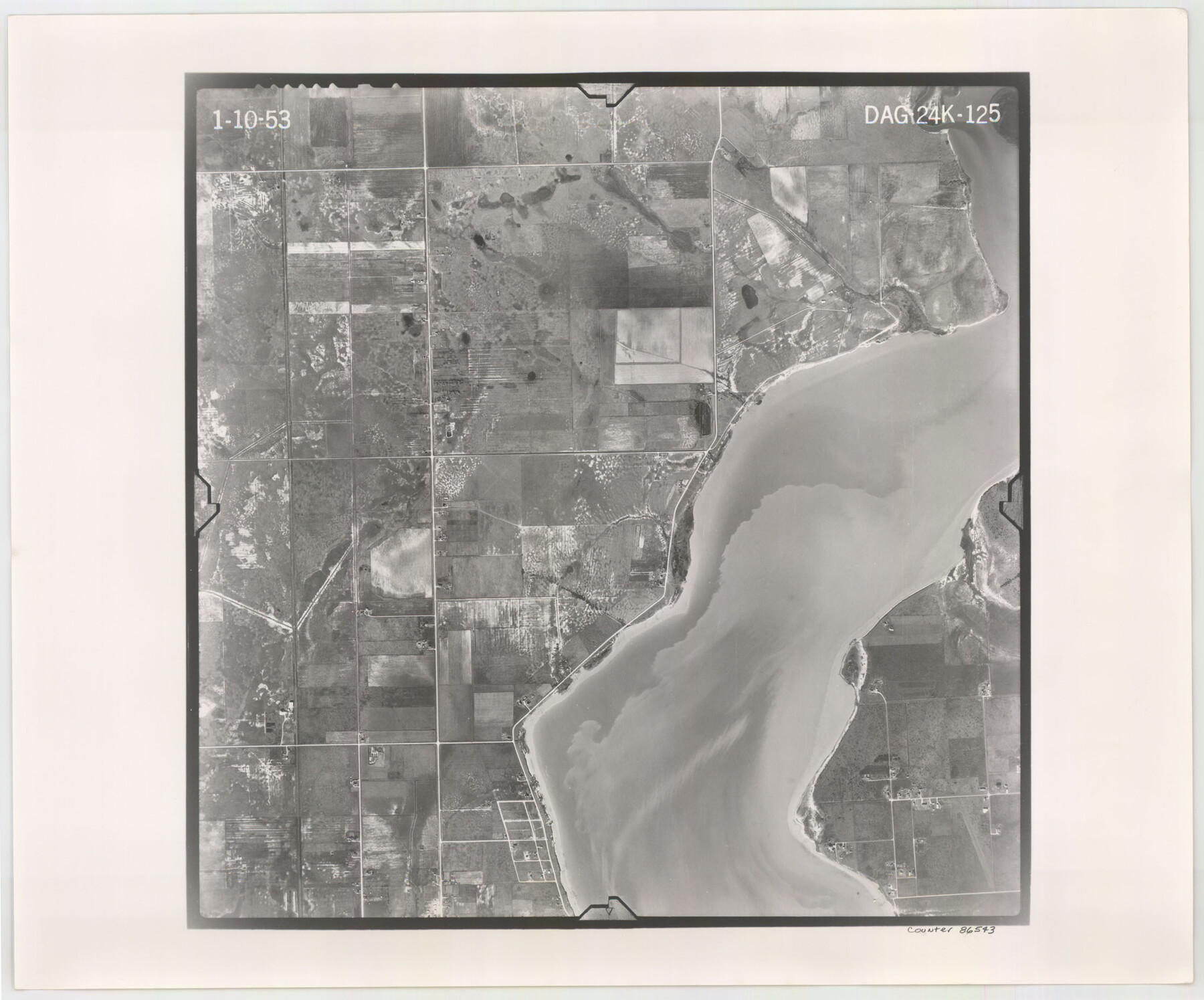
Flight Mission No. DAG-24K, Frame 125, Matagorda County
DAG-24K-125
-
Map/Doc
86543
-
Collection
General Map Collection
-
Object Dates
1953/1/10 (Creation Date)
-
People and Organizations
U. S. Department of Agriculture (Publisher)
-
Counties
Matagorda
-
Subjects
Aerial Photograph
-
Height x Width
18.5 x 22.3 inches
47.0 x 56.6 cm
-
Comments
Flown by Aero Exploration Company of Tulsa, Oklahoma.
Part of: General Map Collection
Boundary Between the United States & Mexico Agreed Upon by the Joint Commission under the Treaty of Guadalupe Hidalgo

Print $4.00
- Digital $50.00
Boundary Between the United States & Mexico Agreed Upon by the Joint Commission under the Treaty of Guadalupe Hidalgo
1853
Size 24.5 x 18.4 inches
Map/Doc 65394
Flight Mission No. CUG-2P, Frame 25, Kleberg County

Print $20.00
- Digital $50.00
Flight Mission No. CUG-2P, Frame 25, Kleberg County
1956
Size 18.5 x 22.2 inches
Map/Doc 86189
Montgomery County Working Sketch 1

Print $20.00
- Digital $50.00
Montgomery County Working Sketch 1
1912
Size 20.8 x 17.1 inches
Map/Doc 71107

Schleicher County Rolled Sketch 6

Print $20.00
- Digital $50.00
Schleicher County Rolled Sketch 6
Size 28.1 x 21.1 inches
Map/Doc 7749
Crockett County Sketch File 10 and 11

Print $8.00
- Digital $50.00
Crockett County Sketch File 10 and 11
Size 12.6 x 7.3 inches
Map/Doc 19661
Jefferson County Rolled Sketch 56

Print $20.00
- Digital $50.00
Jefferson County Rolled Sketch 56
1953
Size 32.1 x 43.8 inches
Map/Doc 6406
Ellis County Sketch File 6

Print $24.00
- Digital $50.00
Ellis County Sketch File 6
Size 12.3 x 8.2 inches
Map/Doc 21836

Pecos County Sketch File 76

Print $4.00
- Digital $50.00
Pecos County Sketch File 76
1943
Size 11.2 x 8.8 inches
Map/Doc 33907
Tarrant County Sketch File 3

Print $4.00
- Digital $50.00
Tarrant County Sketch File 3
Size 11.8 x 8.2 inches
Map/Doc 37676
Irion County Rolled Sketch 17

Print $20.00
- Digital $50.00
Irion County Rolled Sketch 17
1956
Size 40.5 x 40.2 inches
Map/Doc 9255
You may also like
Blanco County Working Sketch 15

Print $20.00
- Digital $50.00
Blanco County Working Sketch 15
1950
Size 23.5 x 20.7 inches
Map/Doc 67375
Nueces County Rolled Sketch 99

Print $92.00
Nueces County Rolled Sketch 99
1985
Size 24.2 x 36.6 inches
Map/Doc 7060
Culberson County Working Sketch 80

Print $40.00
- Digital $50.00
Culberson County Working Sketch 80
1978
Size 56.4 x 43.4 inches
Map/Doc 68534
Winkler County Working Sketch 7

Print $20.00
- Digital $50.00
Winkler County Working Sketch 7
1958
Size 45.4 x 30.2 inches
Map/Doc 72601
Ector County Sketch File 13

Print $16.00
- Digital $50.00
Ector County Sketch File 13
1988
Size 11.5 x 9.0 inches
Map/Doc 21651
Flight Mission No. CGI-3N, Frame 165, Cameron County

Print $20.00
- Digital $50.00
Flight Mission No. CGI-3N, Frame 165, Cameron County
1954
Size 18.5 x 22.2 inches
Map/Doc 84629
Angelina County Working Sketch 38

Print $20.00
- Digital $50.00
Angelina County Working Sketch 38
1958
Size 26.4 x 33.0 inches
Map/Doc 67121
King County Sketch File 2

Print $4.00
- Digital $50.00
King County Sketch File 2
1882
Size 13.2 x 9.2 inches
Map/Doc 29020
Reeves County Working Sketch 10

Print $20.00
- Digital $50.00
Reeves County Working Sketch 10
1956
Size 26.0 x 37.2 inches
Map/Doc 63453
Flight Mission No. BRA-16M, Frame 171, Jefferson County

Print $20.00
- Digital $50.00
Flight Mission No. BRA-16M, Frame 171, Jefferson County
1953
Size 18.6 x 22.3 inches
Map/Doc 85769
Zavala County Sketch File B

Print $34.00
- Digital $50.00
Zavala County Sketch File B
1908
Size 13.5 x 8.9 inches
Map/Doc 41364
Armstrong County Working Sketch 11

Print $20.00
- Digital $50.00
Armstrong County Working Sketch 11
2025
Map/Doc 97507