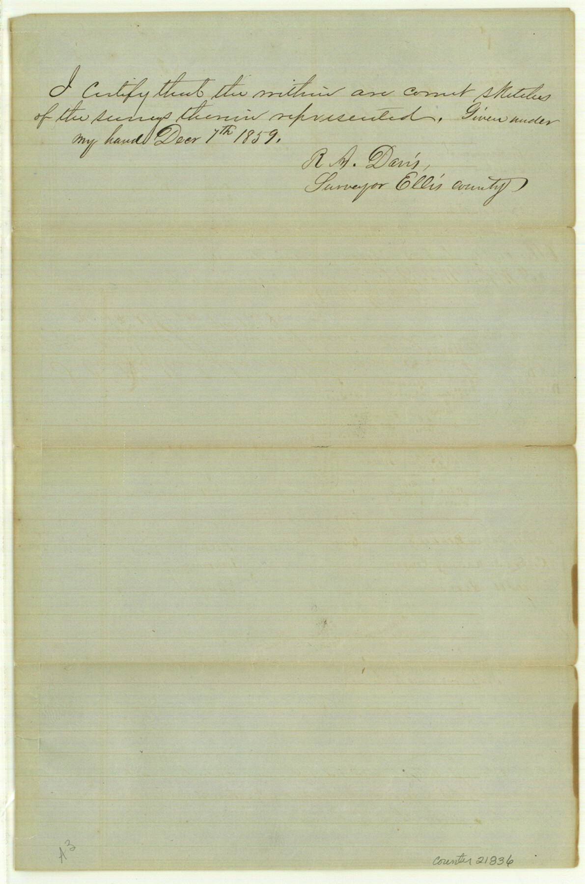
Ellis County Sketch File 6
[Multiple sketches]
-
Map/Doc
21836
-
Collection
General Map Collection
-
Object Dates
1859/11/4 (File Date)
-
People and Organizations
R.A. Davis (Surveyor/Engineer)
-
Counties
Ellis
-
Subjects
Surveying Sketch File
-
Height x Width
12.3 x 8.2 inches
31.2 x 20.8 cm
-
Medium
paper, manuscript
-
Scale
1:2000; 1:4000
-
Features
Waxahachie
North Fork of Chambers Creek
Grove Creek
South Prong of Village Creek
South Prong of Cotton Wood Creek
Mountain Creek
Part of: General Map Collection

Henderson County Sketch File 18

Print $20.00
- Digital $50.00
Henderson County Sketch File 18
1936
Size 16.7 x 18.3 inches
Map/Doc 11756
Lee County Sketch File 10

Print $10.00
- Digital $50.00
Lee County Sketch File 10
2009
Size 11.0 x 8.5 inches
Map/Doc 89289
Crosby County Rolled Sketch 1A

Print $20.00
- Digital $50.00
Crosby County Rolled Sketch 1A
1950
Size 26.1 x 22.2 inches
Map/Doc 5641
Grayson County Rolled Sketch 2

Print $20.00
- Digital $50.00
Grayson County Rolled Sketch 2
1951
Size 25.5 x 42.5 inches
Map/Doc 6030
Lee County Working Sketch Graphic Index

Print $20.00
- Digital $50.00
Lee County Working Sketch Graphic Index
1945
Size 38.2 x 44.6 inches
Map/Doc 76617
Flight Mission No. BRE-4P, Frame 170, Nueces County

Print $20.00
- Digital $50.00
Flight Mission No. BRE-4P, Frame 170, Nueces County
1956
Size 18.5 x 22.6 inches
Map/Doc 86833
Pecos County Working Sketch 23

Print $20.00
- Digital $50.00
Pecos County Working Sketch 23
1927
Size 45.6 x 40.6 inches
Map/Doc 71494
[Surveys near the Guadalupe River]
![288, [Surveys near the Guadalupe River], General Map Collection](https://historictexasmaps.com/wmedia_w700/maps/288.tif.jpg)
Print $2.00
- Digital $50.00
[Surveys near the Guadalupe River]
1847
Size 8.8 x 7.9 inches
Map/Doc 288
Coke County Rolled Sketch 15

Print $40.00
- Digital $50.00
Coke County Rolled Sketch 15
1949
Size 48.1 x 46.5 inches
Map/Doc 8628
Wise County Sketch File A

Print $8.00
- Digital $50.00
Wise County Sketch File A
1884
Size 9.1 x 8.1 inches
Map/Doc 40609
Lee County & Burleson County

Print $20.00
- Digital $50.00
Lee County & Burleson County
1867
Size 18.0 x 31.9 inches
Map/Doc 3346
You may also like
Map showing location of shore end of south jetty Galveston Harbor, Texas with boundaries of public and private property

Print $20.00
- Digital $50.00
Map showing location of shore end of south jetty Galveston Harbor, Texas with boundaries of public and private property
1888
Size 34.0 x 33.3 inches
Map/Doc 61807
Nueces County Rolled Sketch 77

Print $55.00
Nueces County Rolled Sketch 77
1982
Size 24.6 x 36.3 inches
Map/Doc 6938
[I. & G. N. Block 1, sections 64, 65, 67-71 and 545 along river]
![91604, [I. & G. N. Block 1, sections 64, 65, 67-71 and 545 along river], Twichell Survey Records](https://historictexasmaps.com/wmedia_w700/maps/91604-1.tif.jpg)
Print $2.00
- Digital $50.00
[I. & G. N. Block 1, sections 64, 65, 67-71 and 545 along river]
Size 8.9 x 14.4 inches
Map/Doc 91604
Van Zandt County Sketch File 18

Print $4.00
- Digital $50.00
Van Zandt County Sketch File 18
1858
Size 9.7 x 7.7 inches
Map/Doc 39420
Terry County Sketch File 10

Print $20.00
- Digital $50.00
Terry County Sketch File 10
Size 10.8 x 43.2 inches
Map/Doc 10394
Burnet County Sketch File 10

Print $4.00
- Digital $50.00
Burnet County Sketch File 10
1848
Size 12.8 x 8.4 inches
Map/Doc 16690
Hardeman County Boundary File 2

Print $20.00
- Digital $50.00
Hardeman County Boundary File 2
Size 42.0 x 13.5 inches
Map/Doc 54374
[Sketch showing surveys in Blocks 1, 2, 3, 5, 8, 9, B-4 and S]
![91753, [Sketch showing surveys in Blocks 1, 2, 3, 5, 8, 9, B-4 and S], Twichell Survey Records](https://historictexasmaps.com/wmedia_w700/maps/91753-1.tif.jpg)
Print $20.00
- Digital $50.00
[Sketch showing surveys in Blocks 1, 2, 3, 5, 8, 9, B-4 and S]
1875
Size 27.8 x 27.2 inches
Map/Doc 91753
Flight Mission No. BRA-16M, Frame 105, Jefferson County

Print $20.00
- Digital $50.00
Flight Mission No. BRA-16M, Frame 105, Jefferson County
1953
Size 18.5 x 22.1 inches
Map/Doc 85717
Map of Jefferson as owned by Allen Urquhart

Print $20.00
- Digital $50.00
Map of Jefferson as owned by Allen Urquhart
1850
Size 25.1 x 16.6 inches
Map/Doc 1684
Terrell County Working Sketch 7

Print $20.00
- Digital $50.00
Terrell County Working Sketch 7
1915
Size 42.2 x 31.3 inches
Map/Doc 62156
Harris County Working Sketch 21

Print $20.00
- Digital $50.00
Harris County Working Sketch 21
Size 14.1 x 22.6 inches
Map/Doc 65913