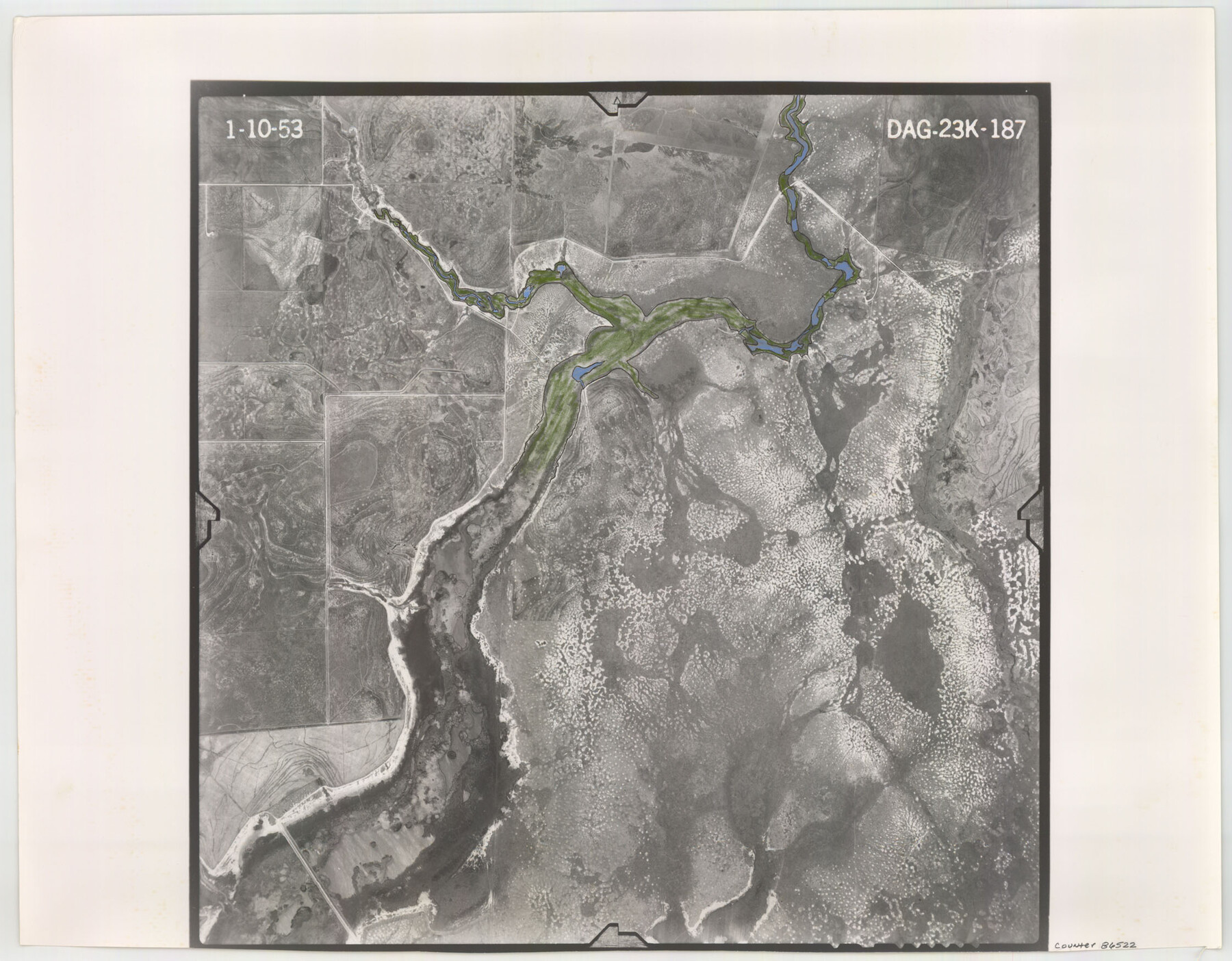
Flight Mission No. DAG-23K, Frame 187, Matagorda County
DAG-23K-187
-
Map/Doc
86522
-
Collection
General Map Collection
-
Object Dates
1953/1/10 (Creation Date)
-
People and Organizations
U. S. Department of Agriculture (Publisher)
-
Counties
Matagorda
-
Subjects
Aerial Photograph
-
Height x Width
17.5 x 22.4 inches
44.5 x 56.9 cm
-
Comments
Flown by Aero Exploration Company of Tulsa, Oklahoma.
Part of: General Map Collection
Starr County Working Sketch 7

Print $20.00
- Digital $50.00
Starr County Working Sketch 7
1938
Size 39.2 x 36.4 inches
Map/Doc 63923
San Patricio County Working Sketch 13

Print $20.00
- Digital $50.00
San Patricio County Working Sketch 13
1949
Size 38.8 x 38.6 inches
Map/Doc 63775
Reeves County Rolled Sketch 35

Print $20.00
- Digital $50.00
Reeves County Rolled Sketch 35
2013
Size 25.3 x 36.8 inches
Map/Doc 93706
Hartley County Sketch File 9

Print $12.00
- Digital $50.00
Hartley County Sketch File 9
1903
Size 10.8 x 7.2 inches
Map/Doc 26094
Foard County Working Sketch 9

Print $20.00
- Digital $50.00
Foard County Working Sketch 9
1977
Size 47.0 x 27.2 inches
Map/Doc 69200
Gillespie County

Print $20.00
- Digital $50.00
Gillespie County
1945
Size 36.7 x 45.6 inches
Map/Doc 77289
[Right of Way and Track Map, the Missouri, Kansas and Texas Ry. of Texas - Henrietta Division]
![64759, [Right of Way and Track Map, the Missouri, Kansas and Texas Ry. of Texas - Henrietta Division], General Map Collection](https://historictexasmaps.com/wmedia_w700/maps/64759.tif.jpg)
Print $20.00
- Digital $50.00
[Right of Way and Track Map, the Missouri, Kansas and Texas Ry. of Texas - Henrietta Division]
1918
Size 11.9 x 26.8 inches
Map/Doc 64759
Van Zandt County Working Sketch 2

Print $20.00
- Digital $50.00
Van Zandt County Working Sketch 2
1910
Size 17.8 x 11.6 inches
Map/Doc 72251
Lee County Working Sketch 15

Print $20.00
- Digital $50.00
Lee County Working Sketch 15
1981
Size 18.4 x 14.0 inches
Map/Doc 70394
Gillespie County

Print $20.00
- Digital $50.00
Gillespie County
1873
Size 16.0 x 22.4 inches
Map/Doc 3580
Motley County Sketch File 28 (S)

Print $4.00
- Digital $50.00
Motley County Sketch File 28 (S)
Size 8.8 x 7.9 inches
Map/Doc 32211

You may also like
Montgomery County Working Sketch Graphic Index, Sheet 1 (Sketches 1 to 35)

Print $40.00
- Digital $50.00
Montgomery County Working Sketch Graphic Index, Sheet 1 (Sketches 1 to 35)
1943
Size 43.0 x 51.9 inches
Map/Doc 76646
Nueces County Rolled Sketch 82

Print $43.00
Nueces County Rolled Sketch 82
1982
Size 18.6 x 25.0 inches
Map/Doc 6961
Old Miscellaneous File 30

Print $16.00
- Digital $50.00
Old Miscellaneous File 30
1845
Size 13.3 x 8.2 inches
Map/Doc 75740
Sutton County Sketch File 42

Print $6.00
- Digital $50.00
Sutton County Sketch File 42
1940
Size 11.2 x 8.8 inches
Map/Doc 37509
Hardeman County Sketch File 30

Print $20.00
- Digital $50.00
Hardeman County Sketch File 30
Size 26.4 x 27.5 inches
Map/Doc 11630

Map No. 3 by W. D. Twichell

Print $20.00
- Digital $50.00
Map No. 3 by W. D. Twichell
Size 42.5 x 32.9 inches
Map/Doc 89710
East Part of Jeff Davis Co.

Print $20.00
- Digital $50.00
East Part of Jeff Davis Co.
1977
Size 46.4 x 35.7 inches
Map/Doc 73194
[Blocks 53, 54, 55, 56, 57, and 76]
![91314, [Blocks 53, 54, 55, 56, 57, and 76], Twichell Survey Records](https://historictexasmaps.com/wmedia_w700/maps/91314-2.tif.jpg)
Print $20.00
- Digital $50.00
[Blocks 53, 54, 55, 56, 57, and 76]
Size 36.4 x 21.4 inches
Map/Doc 91314
Childress County Rolled Sketch 3

Print $40.00
- Digital $50.00
Childress County Rolled Sketch 3
Size 21.1 x 57.0 inches
Map/Doc 8598
Montague County

Print $20.00
- Digital $50.00
Montague County
1924
Size 47.9 x 34.7 inches
Map/Doc 95593
El Paso County Sketch File 23

Print $4.00
- Digital $50.00
El Paso County Sketch File 23
Size 11.3 x 8.6 inches
Map/Doc 22068