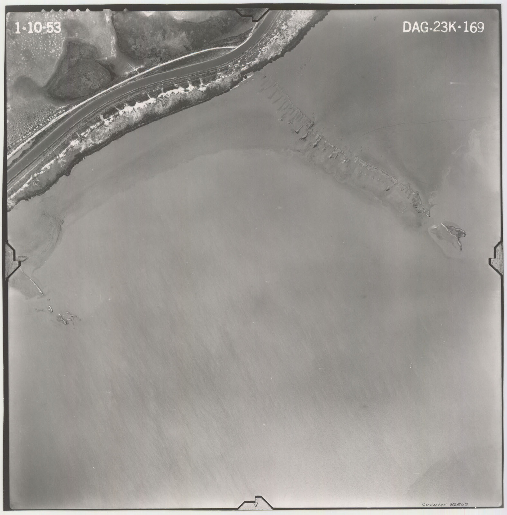
Flight Mission No. DAG-23K, Frame 169, Matagorda County
DAG-23K-169
-
Map/Doc
86507
-
Collection
General Map Collection
-
Object Dates
1953/1/10 (Creation Date)
-
People and Organizations
U. S. Department of Agriculture (Publisher)
-
Counties
Matagorda
-
Subjects
Aerial Photograph
-
Height x Width
16.0 x 15.8 inches
40.6 x 40.1 cm
-
Comments
Flown by Aero Exploration Company of Tulsa, Oklahoma.
Part of: General Map Collection
Duval County Working Sketch 15

Print $20.00
- Digital $50.00
Duval County Working Sketch 15
1938
Size 23.3 x 22.7 inches
Map/Doc 68728
Kleberg County Sketch File 1

Print $36.00
- Digital $50.00
Kleberg County Sketch File 1
1994
Size 8.8 x 11.3 inches
Map/Doc 29192
Hutchinson County Rolled Sketch 44-3

Print $20.00
- Digital $50.00
Hutchinson County Rolled Sketch 44-3
2002
Size 24.0 x 36.0 inches
Map/Doc 77539
Menard County Sketch File 12

Print $12.00
- Digital $50.00
Menard County Sketch File 12
1892
Size 11.1 x 8.2 inches
Map/Doc 31500
Montgomery County Working Sketch 1

Print $20.00
- Digital $50.00
Montgomery County Working Sketch 1
1912
Size 20.8 x 17.1 inches
Map/Doc 71107
Sabine County Sketch File 7a

Print $4.00
Sabine County Sketch File 7a
1882
Size 14.2 x 8.7 inches
Map/Doc 35620
Gillespie County Sketch File 1

Print $7.00
- Digital $50.00
Gillespie County Sketch File 1
1847
Size 10.2 x 8.3 inches
Map/Doc 24124
Plat of a survey of the North part of section 16, Block 362, Martha McBride, Presidio County, Texas

Print $4.00
- Digital $50.00
Plat of a survey of the North part of section 16, Block 362, Martha McBride, Presidio County, Texas
1989
Size 24.1 x 29.3 inches
Map/Doc 60520
Copy of Surveyor's Field Book, Morris Browning - In Blocks 7, 5 & 4, I&GNRRCo., Hutchinson and Carson Counties, Texas

Print $2.00
- Digital $50.00
Copy of Surveyor's Field Book, Morris Browning - In Blocks 7, 5 & 4, I&GNRRCo., Hutchinson and Carson Counties, Texas
1888
Size 7.0 x 8.9 inches
Map/Doc 62266
Hudspeth County Rolled Sketch 58

Print $20.00
- Digital $50.00
Hudspeth County Rolled Sketch 58
Size 31.4 x 32.6 inches
Map/Doc 6258
Crosby County Boundary File 1a

Print $32.00
- Digital $50.00
Crosby County Boundary File 1a
Size 12.8 x 8.1 inches
Map/Doc 51981
[Location Survey of the Southern Kansas Railway, Kiowa Extension from a point in Drake's Location, in Indian Territory 100 miles from south line of Kansas, continuing up Wolf Creek and South Canadian River to Cottonwood Creek in Hutchinson County]
![88839, [Location Survey of the Southern Kansas Railway, Kiowa Extension from a point in Drake's Location, in Indian Territory 100 miles from south line of Kansas, continuing up Wolf Creek and South Canadian River to Cottonwood Creek in Hutchinson County], General Map Collection](https://historictexasmaps.com/wmedia_w700/maps/88839.tif.jpg)
Print $20.00
- Digital $50.00
[Location Survey of the Southern Kansas Railway, Kiowa Extension from a point in Drake's Location, in Indian Territory 100 miles from south line of Kansas, continuing up Wolf Creek and South Canadian River to Cottonwood Creek in Hutchinson County]
1886
Size 38.9 x 36.0 inches
Map/Doc 88839
You may also like
Orange County Working Sketch 15

Print $20.00
- Digital $50.00
Orange County Working Sketch 15
1928
Size 19.3 x 24.6 inches
Map/Doc 71347
Presidio County Rolled Sketch 128

Print $20.00
- Digital $50.00
Presidio County Rolled Sketch 128
1931
Size 26.9 x 38.0 inches
Map/Doc 7398
General Highway Map, Stephens County, Texas

Print $20.00
General Highway Map, Stephens County, Texas
1940
Size 24.9 x 18.3 inches
Map/Doc 79247
San Luis Pass to East Matagorda Bay

Print $40.00
- Digital $50.00
San Luis Pass to East Matagorda Bay
1986
Size 35.6 x 49.0 inches
Map/Doc 69971
Blanco County Working Sketch 42

Print $20.00
- Digital $50.00
Blanco County Working Sketch 42
1986
Size 35.1 x 30.7 inches
Map/Doc 67402
[Surveys along the boundary between Jasper and Jefferson Counties]
![99, [Surveys along the boundary between Jasper and Jefferson Counties], General Map Collection](https://historictexasmaps.com/wmedia_w700/maps/99.tif.jpg)
Print $3.00
- Digital $50.00
[Surveys along the boundary between Jasper and Jefferson Counties]
1841
Size 9.3 x 16.9 inches
Map/Doc 99
Blocks 3 and 4 Capitol Syndicate Subdivision of Capitol Leagues 93, 94, 95, 96, 104, 105, 106, 107, 116, 117, 118, 127, 128, 129, 130, 131, 132, 140, 141, 142, and Parts of 75, 83, 84, 85, 86, 108, 143, 144, and 145

Print $20.00
- Digital $50.00
Blocks 3 and 4 Capitol Syndicate Subdivision of Capitol Leagues 93, 94, 95, 96, 104, 105, 106, 107, 116, 117, 118, 127, 128, 129, 130, 131, 132, 140, 141, 142, and Parts of 75, 83, 84, 85, 86, 108, 143, 144, and 145
1906
Size 18.1 x 29.2 inches
Map/Doc 92582
Dimmit County Working Sketch 42

Print $20.00
- Digital $50.00
Dimmit County Working Sketch 42
1977
Size 33.5 x 39.6 inches
Map/Doc 68703
Robertson County Rolled Sketch 2

Print $43.00
- Digital $50.00
Robertson County Rolled Sketch 2
1974
Size 9.6 x 15.1 inches
Map/Doc 48861
Hunt County Sketch File 26

Print $4.00
- Digital $50.00
Hunt County Sketch File 26
1851
Size 8.4 x 12.9 inches
Map/Doc 27124

Map of the Town of Harrold, Wilbarger County, Texas on the line of the Fort Worth and Denver City Railway

Print $20.00
- Digital $50.00
Map of the Town of Harrold, Wilbarger County, Texas on the line of the Fort Worth and Denver City Railway
1887
Size 31.2 x 28.6 inches
Map/Doc 2186