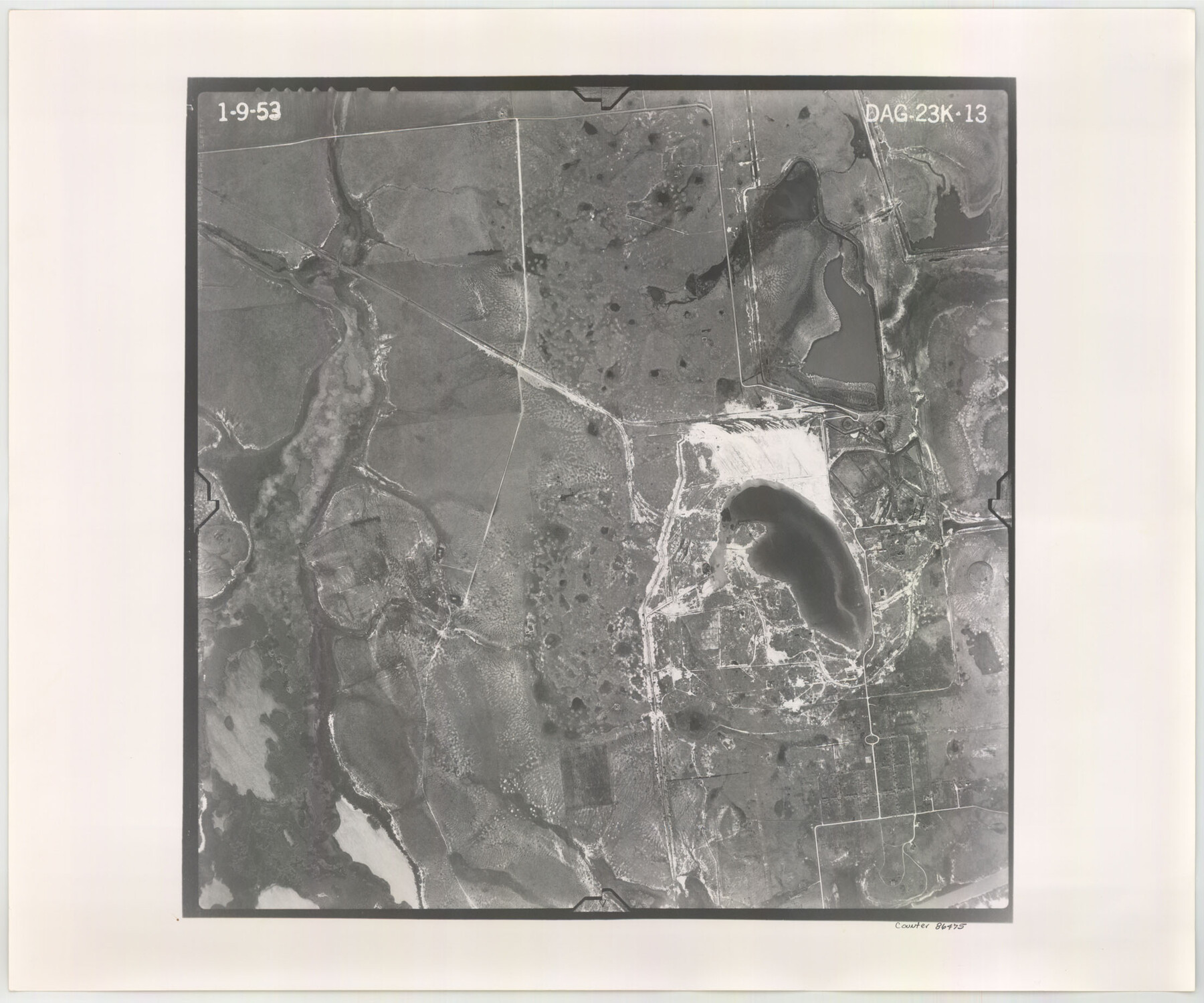
Flight Mission No. DAG-23K, Frame 13, Matagorda County
DAG-23K-13
-
Map/Doc
86475
-
Collection
General Map Collection
-
Object Dates
1953/1/9 (Creation Date)
-
People and Organizations
U. S. Department of Agriculture (Publisher)
-
Counties
Matagorda
-
Subjects
Aerial Photograph
-
Height x Width
18.5 x 22.2 inches
47.0 x 56.4 cm
-
Comments
Flown by Aero Exploration Company of Tulsa, Oklahoma.
Part of: General Map Collection
Flight Mission No. DQN-5K, Frame 149, Calhoun County

Print $20.00
- Digital $50.00
Flight Mission No. DQN-5K, Frame 149, Calhoun County
1953
Size 18.5 x 22.2 inches
Map/Doc 84424
Lampasas County

Print $20.00
- Digital $50.00
Lampasas County
1972
Size 33.2 x 41.9 inches
Map/Doc 77347
Oldham County Working Sketch 8

Print $20.00
- Digital $50.00
Oldham County Working Sketch 8
1982
Size 33.4 x 35.8 inches
Map/Doc 71330
Hamilton County Working Sketch 23

Print $20.00
- Digital $50.00
Hamilton County Working Sketch 23
1955
Size 23.5 x 31.2 inches
Map/Doc 63361
Hardin County Working Sketch 29

Print $20.00
- Digital $50.00
Hardin County Working Sketch 29
1958
Size 36.7 x 22.1 inches
Map/Doc 63427
Johnson County Boundary File 51d

Print $6.00
- Digital $50.00
Johnson County Boundary File 51d
Size 7.9 x 17.8 inches
Map/Doc 55631
Hays County Working Sketch 14

Print $20.00
- Digital $50.00
Hays County Working Sketch 14
1964
Size 23.7 x 19.7 inches
Map/Doc 66088
San Saba County Working Sketch 2

Print $20.00
- Digital $50.00
San Saba County Working Sketch 2
1928
Size 23.2 x 27.2 inches
Map/Doc 63790
Map of The Surveyed Part of Peters Colony Texas

Print $40.00
- Digital $50.00
Map of The Surveyed Part of Peters Colony Texas
1852
Size 54.6 x 34.6 inches
Map/Doc 4654
Fractional Township No. 7 South Range No. 1 West of the Indian Meridian, Indian Territory

Print $20.00
- Digital $50.00
Fractional Township No. 7 South Range No. 1 West of the Indian Meridian, Indian Territory
1898
Size 19.2 x 24.4 inches
Map/Doc 75197
Gulf of Mexico

Print $20.00
- Digital $50.00
Gulf of Mexico
1900
Size 18.2 x 28.0 inches
Map/Doc 72648
Lampasas County Boundary File 10

Print $11.00
- Digital $50.00
Lampasas County Boundary File 10
Size 12.8 x 7.9 inches
Map/Doc 56184
You may also like
Flight Mission No. DQN-5K, Frame 30, Calhoun County

Print $20.00
- Digital $50.00
Flight Mission No. DQN-5K, Frame 30, Calhoun County
1953
Size 16.7 x 16.5 inches
Map/Doc 84381
Sutton County Working Sketch 21

Print $20.00
- Digital $50.00
Sutton County Working Sketch 21
1978
Size 22.3 x 26.1 inches
Map/Doc 62364
General Highway Map. Detail of Cities and Towns in Brown County, Texas [Brownwood and vicinity]
![79390, General Highway Map. Detail of Cities and Towns in Brown County, Texas [Brownwood and vicinity], Texas State Library and Archives](https://historictexasmaps.com/wmedia_w700/maps/79390.tif.jpg)
Print $20.00
General Highway Map. Detail of Cities and Towns in Brown County, Texas [Brownwood and vicinity]
1961
Size 24.8 x 18.2 inches
Map/Doc 79390
Hardeman Co[unty], Texas
![88946, Hardeman Co[unty], Texas, Library of Congress](https://historictexasmaps.com/wmedia_w700/maps/88946.tif.jpg)
Print $20.00
Hardeman Co[unty], Texas
1880
Size 27.8 x 23.7 inches
Map/Doc 88946
Flight Mission No. CRK-8P, Frame 97, Refugio County

Print $20.00
- Digital $50.00
Flight Mission No. CRK-8P, Frame 97, Refugio County
1956
Size 18.5 x 22.1 inches
Map/Doc 86958

[T. & N. O. RR. Co and H. & T. C. RR. Co. Blocks]
![90430, [T. & N. O. RR. Co and H. & T. C. RR. Co. Blocks], Twichell Survey Records](https://historictexasmaps.com/wmedia_w700/maps/90430-1.tif.jpg)
Print $2.00
- Digital $50.00
[T. & N. O. RR. Co and H. & T. C. RR. Co. Blocks]
1924
Size 8.3 x 8.2 inches
Map/Doc 90430
[Sketch & Field Note Calls of Pecos, Terrell & Val Verde Counties, Texas]
![1720, [Sketch & Field Note Calls of Pecos, Terrell & Val Verde Counties, Texas], General Map Collection](https://historictexasmaps.com/wmedia_w700/pdf_converted_jpg/qi_pdf_thumbnail_734.jpg)
Print $20.00
- Digital $50.00
[Sketch & Field Note Calls of Pecos, Terrell & Val Verde Counties, Texas]
1915
Size 19.4 x 24.2 inches
Map/Doc 1720
Crane County Sketch File 30

Print $40.00
- Digital $50.00
Crane County Sketch File 30
1933
Size 14.0 x 8.4 inches
Map/Doc 19610

Brooks County Boundary File 1c

Print $40.00
- Digital $50.00
Brooks County Boundary File 1c
Size 63.4 x 6.7 inches
Map/Doc 50838
Pecos County Rolled Sketch 71

Print $20.00
- Digital $50.00
Pecos County Rolled Sketch 71
Size 21.9 x 47.6 inches
Map/Doc 9703