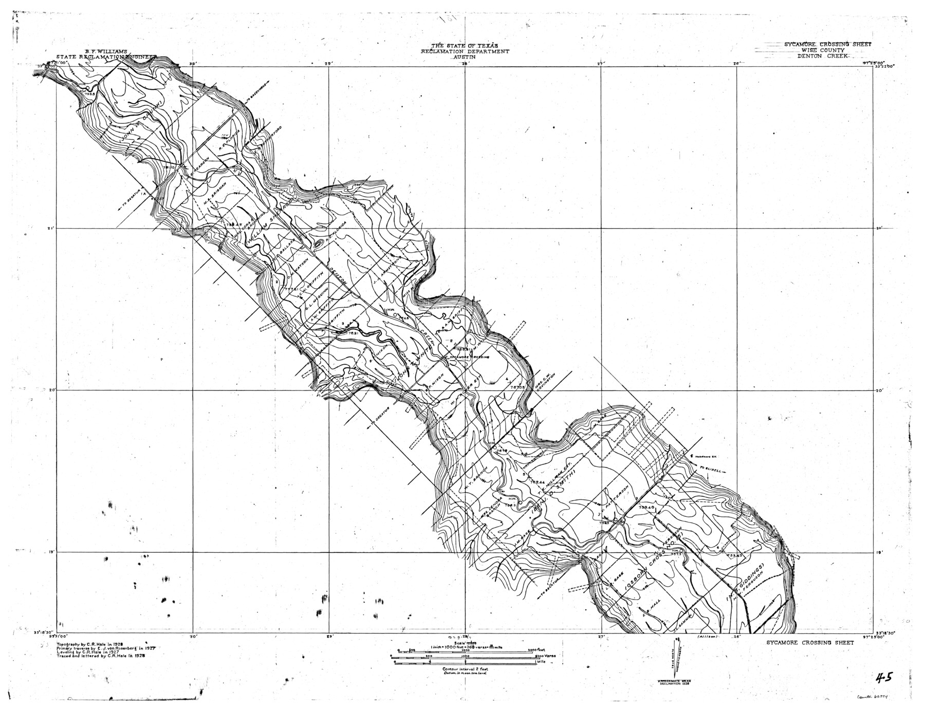
Trinity River, Sycamore Crossing Sheet/Denton Creek
-
Map/Doc
65224
-
Collection
General Map Collection
-
Object Dates
1928 (Creation Date)
-
People and Organizations
Texas State Reclamation Department (Publisher)
Curtis R. Hale (Compiler)
Curtis R. Hale (Draftsman)
Curtis R. Hale (Surveyor/Engineer)
E.J. von Rosenberg (Surveyor/Engineer)
-
Counties
Wise
-
Subjects
River Surveys Topographic
-
Height x Width
26.7 x 34.7 inches
67.8 x 88.1 cm
-
Comments
Sycamore Crossing Sheet located north of the Allison Sheet.
Part of: General Map Collection
McMullen County Working Sketch 62

Print $20.00
- Digital $50.00
McMullen County Working Sketch 62
2016
Size 24.1 x 36.1 inches
Map/Doc 94089
Nueces County Sketch File 42

Print $24.00
- Digital $50.00
Nueces County Sketch File 42
1950
Size 11.0 x 8.6 inches
Map/Doc 32633

Hutchinson County Working Sketch 10

Print $20.00
- Digital $50.00
Hutchinson County Working Sketch 10
1920
Size 42.4 x 32.4 inches
Map/Doc 66368
Armstrong County Working Sketch 6

Print $20.00
- Digital $50.00
Armstrong County Working Sketch 6
1929
Size 24.3 x 19.4 inches
Map/Doc 67237
Flight Mission No. CLL-3N, Frame 10, Willacy County

Print $20.00
- Digital $50.00
Flight Mission No. CLL-3N, Frame 10, Willacy County
1954
Size 18.5 x 22.2 inches
Map/Doc 87076
Pecos County Working Sketch 10

Print $20.00
- Digital $50.00
Pecos County Working Sketch 10
1907
Size 25.9 x 23.9 inches
Map/Doc 71480
Duval County Rolled Sketch Pressly No. 2A

Print $20.00
- Digital $50.00
Duval County Rolled Sketch Pressly No. 2A
1935
Size 22.3 x 34.4 inches
Map/Doc 5771
Flight Mission No. BRE-2P, Frame 36, Nueces County

Print $20.00
- Digital $50.00
Flight Mission No. BRE-2P, Frame 36, Nueces County
1956
Size 18.5 x 22.7 inches
Map/Doc 86738
Louisiana and Texas Intracoastal Waterway - Matagorda Bay to San Antonio Bay Dredging - Sheet 1

Print $20.00
- Digital $50.00
Louisiana and Texas Intracoastal Waterway - Matagorda Bay to San Antonio Bay Dredging - Sheet 1
1942
Size 31.2 x 41.2 inches
Map/Doc 61823
Shelby County Sketch File 1

Print $4.00
- Digital $50.00
Shelby County Sketch File 1
1848
Size 12.6 x 8.0 inches
Map/Doc 36591
Levee Improvement Districts Widths of Floodways - Sulphur River and Cuthand Creek

Print $20.00
- Digital $50.00
Levee Improvement Districts Widths of Floodways - Sulphur River and Cuthand Creek
1924
Size 15.4 x 38.6 inches
Map/Doc 65155
You may also like
Erath County Sketch File 1

Print $4.00
- Digital $50.00
Erath County Sketch File 1
Size 3.9 x 8.1 inches
Map/Doc 22253
Upshur County Sketch File 5

Print $4.00
- Digital $50.00
Upshur County Sketch File 5
1855
Size 8.3 x 12.9 inches
Map/Doc 38740
Angelina County Sketch File 11d

Print $6.00
- Digital $50.00
Angelina County Sketch File 11d
1885
Size 12.7 x 8.3 inches
Map/Doc 12948
Limestone County Working Sketch 7

Print $20.00
- Digital $50.00
Limestone County Working Sketch 7
1922
Size 33.2 x 17.0 inches
Map/Doc 70557
Liberty County Working Sketch 1

Print $20.00
- Digital $50.00
Liberty County Working Sketch 1
Size 26.5 x 29.7 inches
Map/Doc 70460
Map of Limestone County

Print $20.00
- Digital $50.00
Map of Limestone County
1877
Size 24.1 x 26.9 inches
Map/Doc 83012
Coast of Texas Between Brazos River and Matagorda Bay

Print $40.00
- Digital $50.00
Coast of Texas Between Brazos River and Matagorda Bay
1853
Size 32.6 x 72.1 inches
Map/Doc 69977
Brewster County Sketch File 43

Print $4.00
- Digital $50.00
Brewster County Sketch File 43
Size 8.8 x 11.3 inches
Map/Doc 16309
Live Oak County Working Sketch 35

Print $20.00
- Digital $50.00
Live Oak County Working Sketch 35
2003
Size 36.4 x 34.7 inches
Map/Doc 82446
Crockett County Working Sketch 48

Print $20.00
- Digital $50.00
Crockett County Working Sketch 48
1938
Size 23.8 x 13.2 inches
Map/Doc 68381
Map of the Texas & Pacific Railway "Gould System" Lines and Connections

Print $20.00
- Digital $50.00
Map of the Texas & Pacific Railway "Gould System" Lines and Connections
1890
Size 18.1 x 37.0 inches
Map/Doc 94102
Kimble County Working Sketch 43

Print $20.00
- Digital $50.00
Kimble County Working Sketch 43
1949
Size 34.6 x 37.6 inches
Map/Doc 70111